The best running trails around Wrightsville
4.0
(2)
135
runners
16
runs
Jogging around Wrightsville offers diverse landscapes, from coastal environments to riverfront paths and green spaces. The region features accessible trails along waterways, salt marshes, and barrier islands. Its terrain includes paved loops, firm sandy beaches, and paths through parks, providing varied surfaces for runners.
Best jogging routes around Wrightsville
- The most popular jogging route is Old Trolley Line Bridge loop from Columbia, a 6.0 miles (9.7 km) trail that takes 1 hour 1 minute to complete. This moderate route…
Last updated: June 28, 2026
4.0
(1)
16
runners
Embark on the Chickies Rock County Park – Old Trolley Line Bridge loop from Columbia for a diverse jogging experience that combines river views with historical intrigue. This difficult 13.6-mile…
19
runners
The Old Trolley Line Bridge – Chickies Rock County Park loop from Marietta offers a fantastic blend of riverside running and a rewarding climb to a stunning vista. You'll enjoy…

Sign up for free
4.0
(1)
13
runners
15.6km
01:38
20m
20m
Hard run. Very good fitness required. Mostly paved surfaces. Suitable for all skill levels.
11
runners
Moderate run. Good fitness required. Mostly paved surfaces. Suitable for all skill levels.
10
runners
7.32km
00:58
230m
230m
Moderate run. Good fitness required. Mostly paved surfaces. Suitable for all skill levels.
Get access to more routes and recommendations from other explorers.
Sign up for free
Already have an account?
Our route recommendations are based on thousands of hikes, rides, and runs completed by other people on komoot.
Start today with a free account
Your next adventure awaits.
Login or Signup
Popular around Wrightsville

Tips from the Community

Here the bike path crosses scenic Chiques Creek. You can see the remnants of the Hiestand Saw Mill and Dam on the northwest side of the river.
0
0

While the Susquehanna river trail is beautiful, parts of it can be muddy/flooded and sometimes impassable after heavy rain.
0
0

The White Cliffs of Conoy are a must-see. They sit nearly 30 feet above the riverbank and are the residue of a local limestone and dolomite quarry in the 1800's. The cliffs afford grand views of the Susquehanna River.
0
0

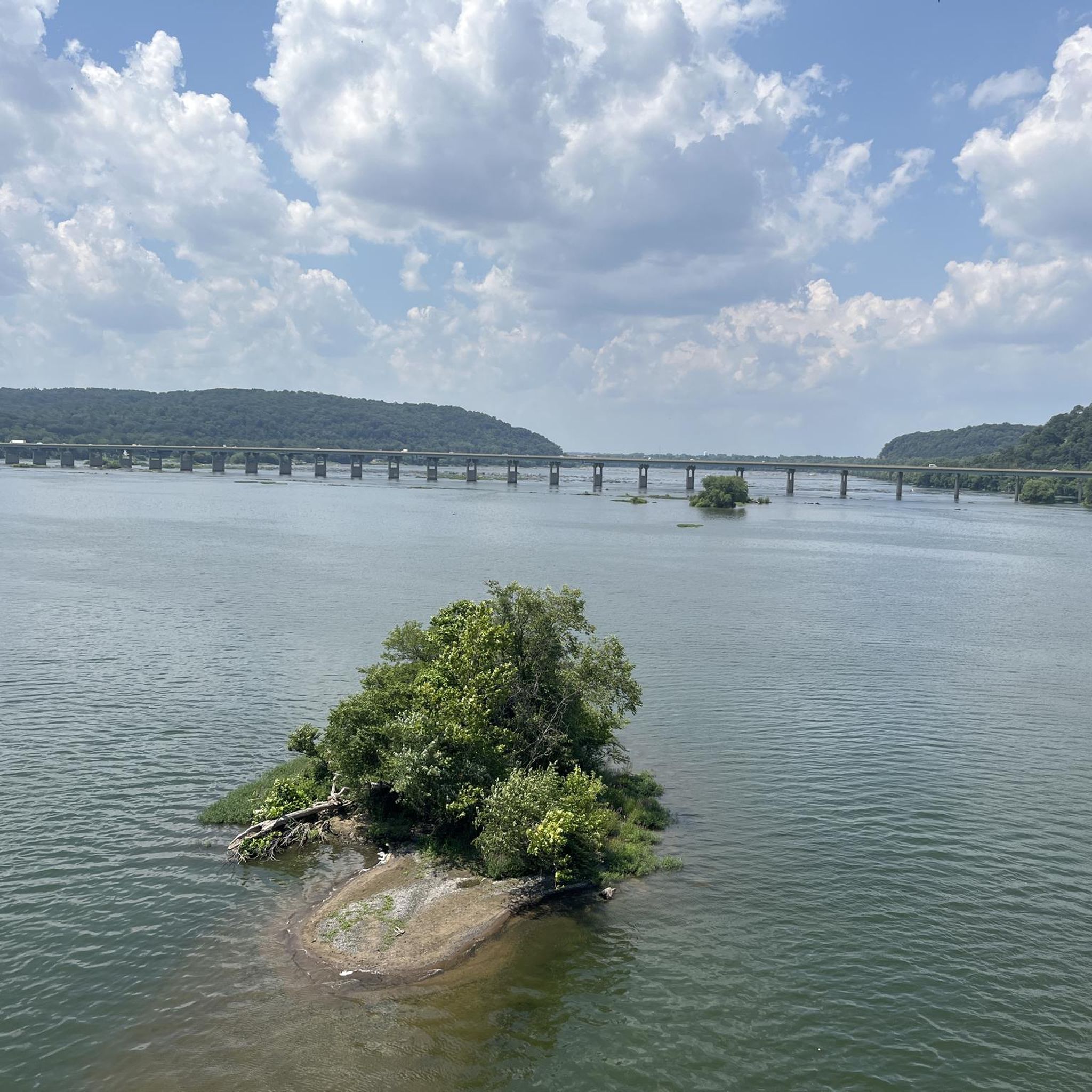
Chickies Rock County Park is a park on the banks of the Susquehanna River. There are multiple view points in the park that give a great vista of the river and woodlands on its bank. Northwest Lancaster County River Trail runs through the park.
0
0
The Northwest Lancaster County River Trail is a multiuse trail that follows the Susquehanna River. It is fully paved and passes through farmland and woods. From the path there are great views of the river.
0
0

This is a great paved trail that winds through farmland and woods and along the river. There are several food trucks along the way to stop for a sandwich or ice cream.
1
0

Safe. Clean. There is a place to eat at the beggining of trail. Flat. There is parking. Bath. Plenty to see.
0
1
Frequently Asked Questions
How many running routes are available in Wrightsville?
Wrightsville offers a diverse selection of over 14 running routes. These include a variety of options, from easy loops to more challenging long-distance trails, catering to different fitness levels and preferences.
Are there any easy running routes for beginners in Wrightsville?
Yes, Wrightsville has easy running options. While the famous 'The Loop' (John T. Nesbitt Loop) is a popular paved 2.45-2.5 mile route perfect for all levels, the komoot community also highlights routes like the 4-mile stretch of beach with firm, compact sand, ideal for a gentle jog. There is 1 easy route listed in the komoot guide.
What are some good options for longer distance running in Wrightsville?
For those seeking longer runs, Wrightsville offers several options. The Chickies Rock County Park – Safe Harbor Railroad Bridge loop from Columbia is a challenging 17.0-mile (27.4 km) trail that takes you through riverfront landscapes. Another option is the Old Trolley Line Bridge loop from River Front Park, which covers 15.5 miles (25 km).
Can I find circular running routes in Wrightsville?
Absolutely. Many of Wrightsville's running paths are designed as loops, providing convenient circular routes. A prime example is 'The Loop' (John T. Nesbitt Loop), a well-known 2.45-2.5 mile paved trail circling Wrightsville Beach. Other circular options include the Old Trolley Line Bridge loop from Columbia, a 6.0-mile route, and the Old Trolley Line Bridge – Chickies Rock County Park loop from Marietta, which is 5.4 miles.
What kind of scenic views can I expect on jogging trails around Wrightsville?
Jogging in Wrightsville offers stunning coastal and riverfront scenery. Routes often feature picturesque views of salt marshes, Banks Channel, the Intracoastal Waterway, and the Susquehanna River. You can also enjoy ocean views along the 4-mile beach stretch and explore parks like Lee's Nature Park for views of the salt marsh.
Are there dog-friendly running trails in Wrightsville?
Wrightsville is generally dog-friendly, but leash laws and specific trail regulations apply. While 'The Loop' is popular, always check local signage for dog restrictions. Many parks and natural areas welcome leashed dogs, but it's best to confirm with specific park authorities before heading out.
Are there family-friendly running paths suitable for all ages?
Yes, Wrightsville offers several family-friendly running paths. 'The Loop' (John T. Nesbitt Loop) is a paved, flat, and accessible option perfect for families. The firm sand of the 4-mile beach also provides a great surface for a family jog. Additionally, local parks like Wrightsville Beach Park offer open spaces and facilities suitable for families.
What are the best times of year to go jogging in Wrightsville?
The best times for jogging in Wrightsville are typically spring and fall, when temperatures are mild and humidity is lower. Summer can be hot and humid, with a higher presence of mosquitoes, so early mornings or evenings are preferable. Winter offers cooler temperatures, which can be pleasant for running, though coastal winds might be a factor.
Where can I find parking for running trails in Wrightsville?
Parking is available at various access points for Wrightsville's running trails. For 'The Loop' and beach access, parking lots are located around Wrightsville Beach Park and along the beach access points. For routes like the River to Sea Bikeway, parking can be found near Johnnie Mercers Fishing Pier. Always check for specific parking regulations and fees.
Is public transportation available to access running routes in Wrightsville?
Public transportation options are available to reach Wrightsville Beach, which serves as a starting point for many running routes, including 'The Loop' and beach running. Local bus services connect Wilmington to Wrightsville Beach, making it possible to access these popular jogging areas without a car.
What do other runners say about the jogging routes in Wrightsville?
The jogging routes in Wrightsville are highly rated by the komoot community, with an average score of 4.0 stars from over 1 review. Runners often praise the diverse landscapes, from coastal paths with refreshing breezes to riverfront trails, and appreciate the variety of surfaces available, including paved loops and firm sandy beaches.
Are there any interesting landmarks or attractions to see along the running routes?
Yes, several routes offer views of interesting landmarks and natural attractions. You can see the Northwest Lancaster County River Trail, the historic Safe Harbor Railroad Bridge, and the View of the Susquehanna River from Chickies Rock. The area also features the Turkey Hill Trailhead and the Enola Low Grade Trail.
Are there any routes that offer a unique natural experience, like wildlife viewing?
Wrightsville's coastal environment is rich in wildlife. Running along the salt marshes, Banks Channel, and the Intracoastal Waterway on routes like 'The Loop' can offer opportunities for birdwatching. For a more immersive nature experience, Masonboro Island Reserve (accessible by water) and the North Carolina National Estuarine Research Reserve are known for their protected ecosystems and birdlife.
What are the different difficulty levels of running routes in Wrightsville?
Wrightsville offers a range of difficulty levels for running routes. The komoot guide lists 1 easy route, 10 moderate routes, and 3 difficult routes. This variety ensures that both beginners looking for a gentle jog and experienced runners seeking a challenge can find suitable paths.
Most popular routes around Wrightsville
Most popular attractions around Wrightsville

Get inspired with the komoot mobile app


Explore more
Browse the best Running Trails & Routes in other regions.
