The best road cycling routes around Tumalo
5.0
(8)
786
riders
14
rides
Road cycling routes around Tumalo offer diverse terrain, from high-desert landscapes to lush riverside environments. The region features continuous views of the Cascade Mountains and routes that follow the Deschutes River and Tumalo Creek. Cyclists can expect a mix of rolling terrain, open fields, and pine forests, providing varied backdrops for rides. The area's topography includes generally level sections with some climbs in and out of river canyons.
Best road cycling routes around Tumalo
- The most popular road cycling route…
Last updated: July 13, 2026
46
riders
31.5km
01:43
350m
350m
Moderate road ride. Good fitness required. Mostly well-paved surfaces and easy to ride.
25
riders
91.3km
04:53
920m
920m
Hard road ride. Very good fitness required. Some segments of this route may be unpaved and difficult to ride.

Sign up for free
12
riders
Moderate road ride. Good fitness required. Mostly well-paved surfaces and easy to ride.
10
riders
26.0km
01:19
270m
270m
Moderate road ride. Great for any fitness level. Some segments of this route may be unpaved and difficult to ride.
9
riders
22.5km
01:12
260m
260m
Easy road ride. Great for any fitness level. Mostly well-paved surfaces and easy to ride.
Get access to more routes and recommendations from other explorers.
Sign up for free
Already have an account?
Our route recommendations are based on thousands of hikes, rides, and runs completed by other people on komoot.
Start today with a free account
Your next adventure awaits.
Login or Signup


Tips from the Community

This 5.5-mile trail packs quite a punch for it's relatively short distance. The multi-use path connects Sunriver to the Lava Lands Visitor Center. It also crosses a number of other trail, which means riders can explore various types and levels of trails based on their own desires and experience levels.
0
0

The Village at Sunriver is a charming open-air mall nestled among the pines. It features a brewery, a cozy restaurant, an outfitter, bike rentals, and souvenir shops. It's an ideal spot to rent a bike for an adventure, or a great place to take a relaxing stroll after a long ride through this delightful small town.
0
0
Farewell Bend Park sits along the Deschutes River and is a popular launching location for float trips on the river. There are plenty of picnic tables, restrooms, and a playground with a lumber mill theme that is a popular spot for kids and families. It is a lovely spot to watch nature, from birds in the sky to waterfowl in the natural marsh areas.
0
0

There is parking along the side of Sisemore Road, which makes for a great place to start your ride with pretty views across the reservoir. Bull Creek Dam is right next to the parking pull-off.
0
0
The Village at Sunriver is a charming open-air mall nestled among the pines. It features a brewery, a cozy restaurant, an outfitter, bike rentals, and souvenir shops. It's an ideal spot to rent a bike for an adventure, or a great place to take a relaxing stroll after a long ride through this delightful small town.
0
0

The Sun Lava Trailhead in Bend, OR, serves as a gateway to the Deschutes National Forest. It provides access to the Sun-Lava paved path, a 5.5-mile multi-use trail that connects Lava Lands Visitor Center to Benham Falls. The trail is family-friendly, suitable for hiking, biking, and strollers, with gentle terrain through the area's volcanic landscape and lush forest. Benham Falls, a highlight along the route, offers dramatic views of cascading whitewater.
0
0

Parked at lake. Best to ride counter clockwise. Rode mtn bikes with suspension locked. Happy with mtn bike tires on NF 4606 - too rocky and sandy for comfortable gravel bike. Sizemore Rd hard and fast, fine for gravel bike. Trip would be sunny and hot in summer. Great at 65* F.
1
0

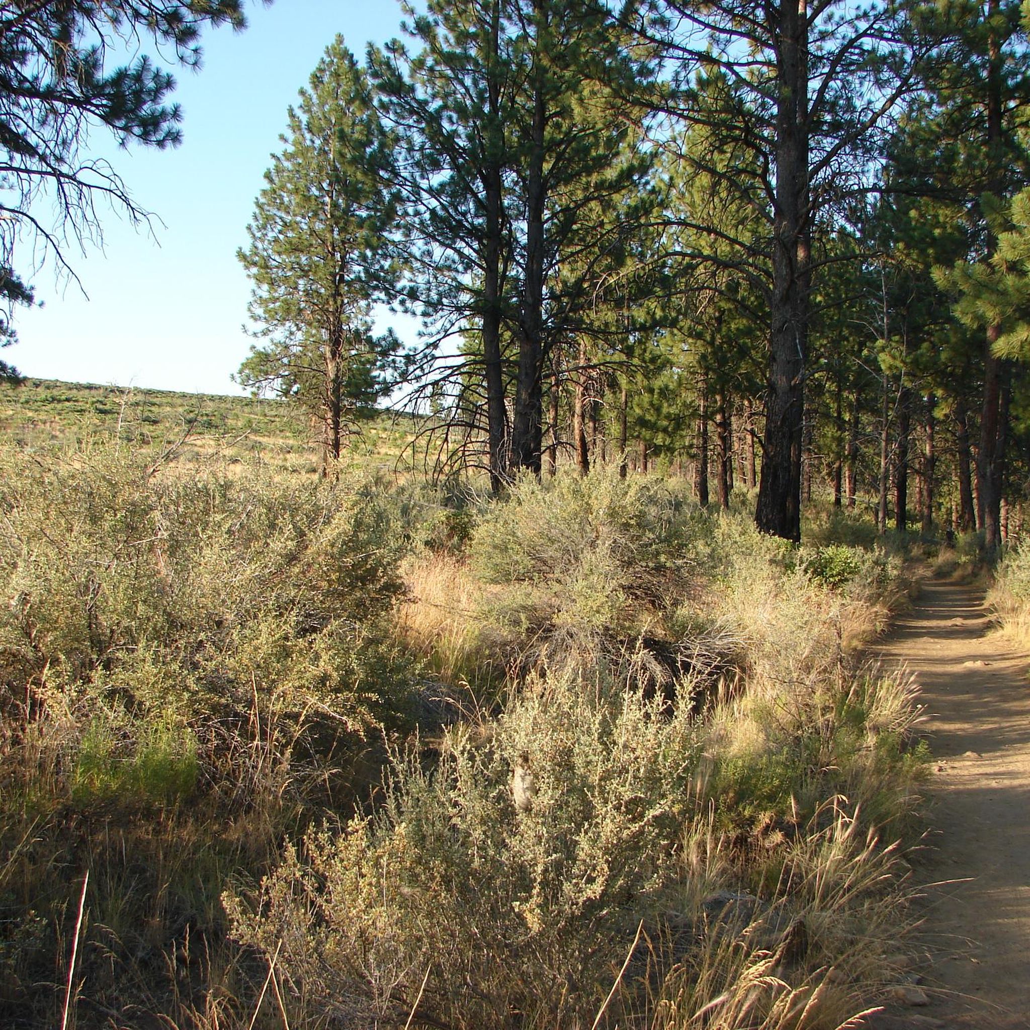
A popular park with miles of hiking, running and mountain biking trails both on trail and pavement. Tumalo Creek offers a place to cool off on a warm day.
0
0
Frequently Asked Questions
How many road cycling routes are available around Tumalo?
There are 18 road cycling routes around Tumalo, offering a diverse range of experiences. These include 8 easy routes, 9 moderate routes, and 1 difficult route, catering to various skill levels.
What kind of terrain and landscapes can I expect on road cycling routes in Tumalo?
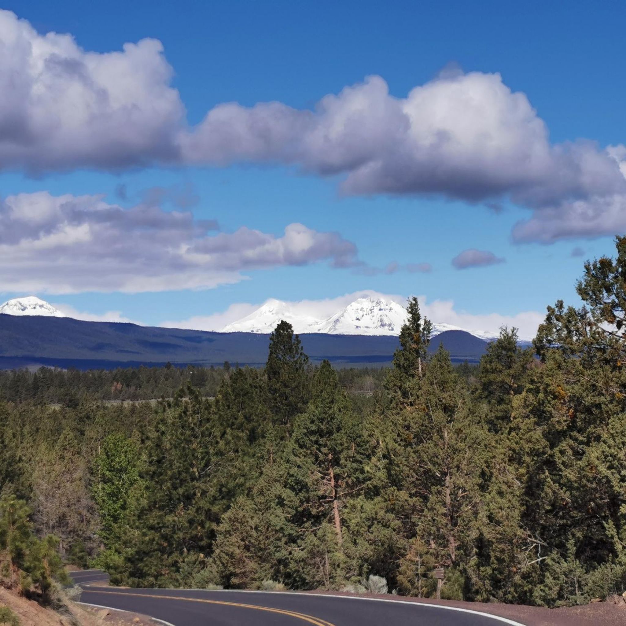
Road cycling around Tumalo offers a varied landscape. You'll encounter continuous views of the Cascade Mountains, high-desert terrain, hobby farms, and hay fields. Routes often follow the picturesque Deschutes River and Tumalo Creek, transitioning into pine forests with ponderosa pines and junipers. The topography includes generally level sections with some climbs in and out of river canyons.
Are there any easy or family-friendly road cycling routes in Tumalo?
Yes, Tumalo offers several easy routes suitable for families or those seeking a relaxed ride. For instance, the Drake Park – Bend Brewing Company loop from Bend is an easy 19.5-mile (31.4 km) trail that leads through urban and riverside areas. Another great option is the Drake Park – Farewell Bend Park loop from Bend, which is 16.3 miles (26.3 km) and also rated easy.
What is the best time of year for road cycling in Tumalo?
The best time for road cycling in Tumalo is generally from spring through fall. The region experiences pleasant weather during these seasons, making for ideal riding conditions. While some routes may be accessible in winter, conditions can vary, especially with potential snow or ice at higher elevations or during colder periods.
Are there any road cycling routes that offer scenic viewpoints or attractions?
Many routes in Tumalo offer stunning views. You'll frequently enjoy continuous vistas of the Cascade Mountains. For specific attractions, consider routes that pass near Drake Park or Shevlin Park. The Shevlin Park – Tumalo State Park loop from Les Schwab Tire Headquarters connects these two prominent parks, traversing varied landscapes.
Are there any loop trails for road cycling in Tumalo?
Yes, many of the road cycling routes around Tumalo are designed as loops, allowing you to start and end at the same point. A notable example is the Deschutes River Bridge – Benham Falls loop from Bend, a challenging 56.8-mile (91.5 km) route offering extensive views along the Deschutes River.
What do other road cyclists enjoy most about road cycling in Tumalo?
The road cycling routes in Tumalo are highly rated by the komoot community, with an average score of 5.0 stars. Cyclists often praise the continuous Cascade Mountain vistas, the diverse high-desert and riverside terrain, and the well-maintained routes that cater to various ability levels.
Are there any cafes or places to stop for refreshments along the road cycling routes?
While Tumalo itself is a smaller community, many routes connect to or pass through Bend, which offers numerous cafes, pubs, and accommodation options. Tumalo also serves as a good stopping point on longer routes like the Twin Bridges Loop Scenic Bikeway before the final climbs back to Bend.
What is the longest road cycling route available in Tumalo?
The longest road cycling route listed is the Deschutes River Bridge – Benham Falls loop from Bend, which spans 56.8 miles (91.5 km) and is rated as difficult. It offers extensive views along the Deschutes River.
Are there any road cycling routes that pass through Tumalo State Park?
Yes, the Tumalo State Park – Shevlin Park loop from Tumalo State Park is a moderate 43.3-mile (69.8 km) route that starts and ends at Tumalo State Park, allowing you to explore the park's scenic riverside environment. A 2.4-mile segment of the Deschutes River Trail also passes directly through Tumalo State Park, offering a paved option.
Can I find routes that are exclusively paved for road cycling?
Many road cycling routes in Tumalo utilize paved roads, including rural roads with generally low traffic and sections with dedicated bike lanes, such as on Highway 20. The Deschutes River Trail also offers paved sections, providing off-street cycling opportunities.
Most popular attractions around Tumalo

Get inspired with the komoot mobile app


Explore more
Browse the best Road cycling routes in other regions.
