The best road cycling routes around Maywood Park
4.5
(122)
5,583
riders
126
rides
Road cycling routes around Maywood Park feature a diverse landscape, including multi-use paths and riverfront routes along the Columbia River and Marine Drive. The area provides access to urban parks and offers routes that ascend to local hills like Mount Tabor. Cyclists can expect a mix of flat, scenic stretches and some challenging climbs. The region's network of bike paths near Maywood Park connects to a wider system, offering varied cycling environments.
Best road cycling routes around Maywood Park
- The…
Last updated: July 15, 2026
4.0
(2)
62
riders
94.3km
04:44
1,030m
1,030m
Hard road ride. Very good fitness required. Some segments of this route may be unpaved and difficult to ride.
4.0
(3)
91
riders
107km
05:23
1,390m
1,390m
Hard road ride. Very good fitness required. Mostly well-paved surfaces and easy to ride.

Sign up for free
12
riders
16.3km
00:48
200m
200m
Easy road ride. Great for any fitness level. Mostly well-paved surfaces and easy to ride.
10
riders
49.3km
02:17
340m
340m
Moderate road ride. Good fitness required. Mostly well-paved surfaces and easy to ride.
5.0
(1)
16
riders
56.1km
02:47
300m
300m
Moderate road ride. Good fitness required. Mostly well-paved surfaces and easy to ride.
Get access to more routes and recommendations from other explorers.
Sign up for free
Already have an account?
Our route recommendations are based on thousands of hikes, rides, and runs completed by other people on komoot.
Start today with a free account
Your next adventure awaits.
Login or Signup


Tips from the Community

The river is visible through the trees as you ride down the historic highway. The Sandy River begins at Reid Glacier on Mount Hood, and travels 56 miles to reach its confluence with the Columbia.
0
0
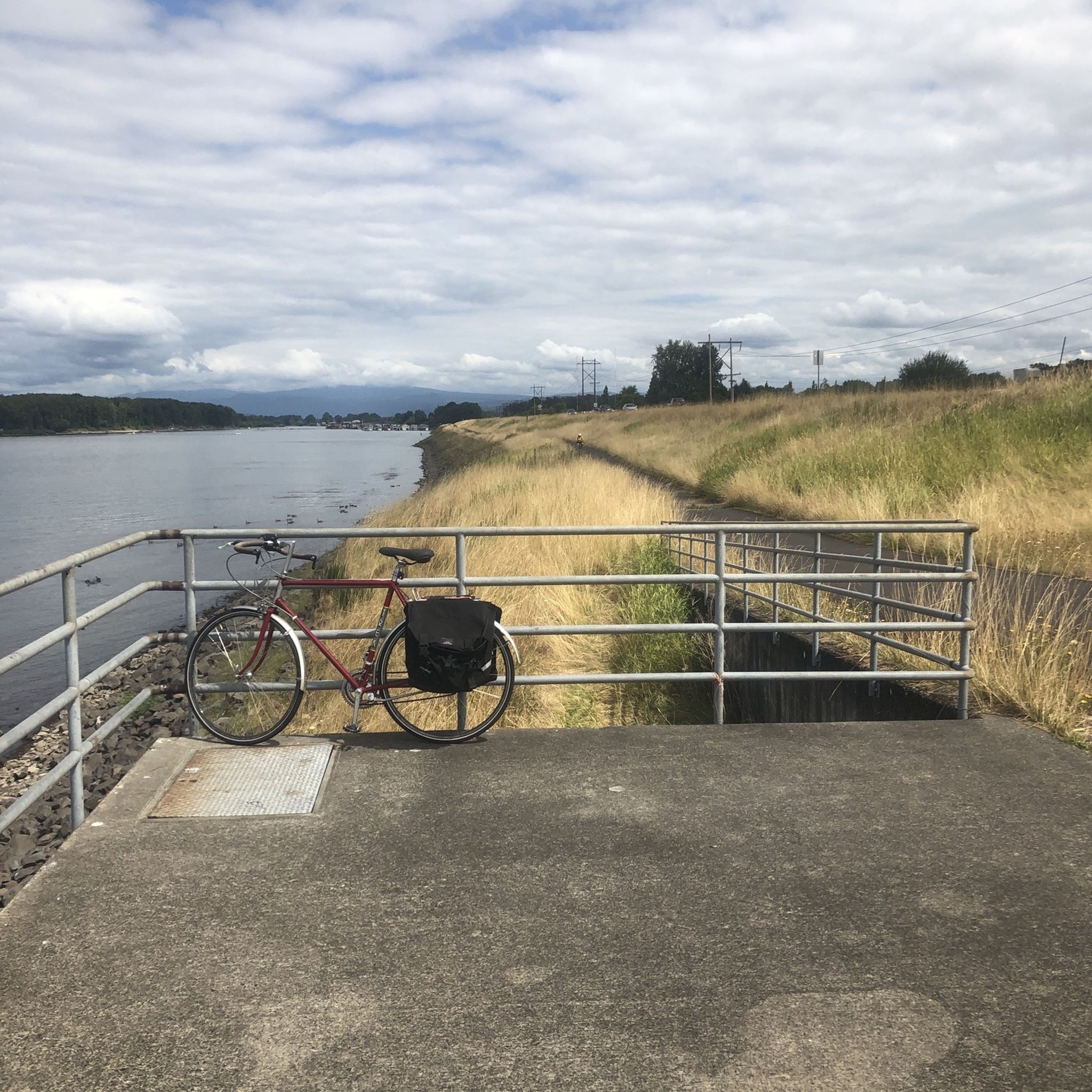
Marine Drive follows the bank of the Columbia River for many miles along Portland's north shore. The views are phenomenal and there is typically decent shoulder and enough space for cars to pass. A paved multi-use path parallels the road for most of its length, but here they merge into one for about two thirds of a mile.
0
0

Here you can view Burnt Bridge Creek as it flows west to Vancouver Lake, which drains into Lake River and eventually feeds into the Columbia River.
0
0

Built in 1910, the Hawthorne Bridge spans 3,552 feet across the Willamette River with four lanes and is a key part of the city's bike culture. The bridge gives passage to over 30,000 vehicles daily, including 800 TriMet buses, along with more than 8,000 cyclists. During rush hour, bikes can outnumber cars. The wide sidewalks offer great views of the river and skyline. As the oldest vertical-lift bridge in the U.S. and Portland's oldest highway bridge, it was added to the National Register of Historic Places in 2012.
0
0

Broughton Beach offers visitors easy access to the Columbia River, and on clear days you will also have a great view of Mt. Hood. The slow current and gradual entry into the water make this a great place to stop for a swim on warm days.
0
0
Here's a perfect spot to take a break, park your bike, and walk up the trail for an excellent view of both Lower and Upper Multnomah Falls.
1
0
Burnt Bridge Creek is a 13-mile stream starting near Orchards and ending in Vancouver Lake. For the first 8 miles, the creek travels through natural and artificial waterways before joining a small canyon. The creek's lower section is home to coho salmon, rainbow trout, and steelhead. The 8-mile Burnt Bridge Creek Greenway Trail, a popular path for walking, biking, and jogging, runs along the creek as well.
0
0
Run along the scenic Waterfront Park and enjoy great views of the Columbia River and local mountains. Located along the Columbia Riverfront Renaissance Trail, Waterfront Park has benches, restrooms, cafés, bars, and restaurants. The Grant Street Pier extends over the water to give visitors a nice view of the river.
0
0
Frequently Asked Questions
How many road cycling routes are available around Maywood Park?
There are over 120 road cycling routes available around Maywood Park, offering a wide variety of options for different skill levels and preferences.
What is the overall difficulty level of road cycling routes in Maywood Park?
The routes around Maywood Park offer a diverse range of difficulties. You'll find 55 easy routes, 63 moderate routes, and 11 difficult routes, ensuring options for beginners and experienced cyclists alike.
Are there easy road cycling routes suitable for beginners in Maywood Park?
Yes, Maywood Park offers several easy road cycling routes perfect for beginners. One such route is the Mount Tabor loop from Parkrose/Sumner Transit Center, which is 13.5 miles long and takes about an hour to complete, leading through urban areas and ascending Mount Tabor. Another easy option is the Blue Lake Regional Park loop from Parkrose/Sumner Transit Center.
Where can I find challenging or long-distance road cycling routes near Maywood Park?
For more challenging and long-distance rides, consider routes that include significant climbs or extended distances. The Historic Columbia River Highway and Marine Drive Loop is a difficult 58.6-mile route with extensive views. Another demanding option is the Marine Drive Trail – Chanticleer Point loop from Cascades, a 66.4-mile path that includes the ascent to Chanticleer Point.
Are there any circular road cycling routes in the Maywood Park area?
Yes, many road cycling routes around Maywood Park are designed as loops. Examples include the Historic Columbia River Highway and Marine Drive Loop, the Marine Drive Trail – Chanticleer Point loop from Cascades, and the Mount Tabor loop from Parkrose/Sumner Transit Center. These provide convenient circular journeys.
What kind of scenery can I expect on road cycling routes around Maywood Park?
Road cycling routes around Maywood Park offer a diverse landscape. You can expect scenic riverfront paths along the Columbia River and Marine Drive, urban parks, and routes that ascend local hills like Mount Tabor. The area combines natural beauty with urban exploration.
Are there any notable landmarks or viewpoints along the road cycling routes?
Yes, several routes pass by or offer access to notable landmarks and viewpoints. You might encounter Mount Tabor, a unique urban volcano, or enjoy the Viewpoint in Powell Butte Nature Park. The View of Mount Hood from Rocky Butte is another stunning sight accessible from some routes.
Can I find routes that pass by lakes or natural monuments?
Absolutely. Some routes will take you near beautiful natural features. For example, you can cycle near West Biddle Lake or explore the area around Blue Lake Regional Park. These offer pleasant natural surroundings for your ride.
What do other road cyclists say about the routes in Maywood Park?
The road cycling routes in Maywood Park are highly regarded by the komoot community, with an average rating of 4.6 stars from over 100 reviews. Cyclists often praise the varied terrain, from flat riverfront paths to challenging hill climbs, and the accessibility of urban and natural landscapes.
Is it possible to reach road cycling routes in Maywood Park using public transport?
Yes, many routes are accessible via public transport. For instance, the Mount Tabor loop and the Blue Lake Regional Park loop both start from the Parkrose/Sumner Transit Center, making them convenient for those using public transportation.
Are there any routes that are particularly family-friendly for road cycling?
While specific 'family-friendly' designations aren't always explicit for road cycling, routes with lower elevation gain and shorter distances are generally more suitable. The Blue Lake Regional Park loop from Parkrose/Sumner Transit Center is an easy, shorter option that could be suitable for families looking for a less strenuous ride.
Most popular attractions around Maywood Park

Get inspired with the komoot mobile app


Explore more
Browse the best Road cycling routes in other regions.
