The best road cycling routes around Philomath
4.5
(40)
325
riders
34
rides
Road cycling around Philomath, Oregon, is characterized by its position in the Willamette Valley at the base of the Oregon Coast Range. The region offers diverse landscapes, including lush forests, river valleys, and open meadows. Road cycling routes here feature varied elevation profiles, from gentle paths along the Marys River to challenging climbs influenced by the nearby Coast Range and Marys Peak.
Best road cycling routes around Philomath
- The most popular road cycling route is Alsea Falls Recreation Area –…
Last updated: July 9, 2026
4.6
(5)
34
riders
48.3km
02:05
330m
330m
Moderate road ride. Good fitness required. Mostly well-paved surfaces and easy to ride.
4.7
(3)
29
riders
Moderate road ride. Good fitness required. Mostly well-paved surfaces and easy to ride.

Sign up for free
28
riders
96.4km
04:33
1,060m
1,060m
Hard road ride. Very good fitness required. Mostly well-paved surfaces and easy to ride.
25
riders
83.6km
04:56
1,650m
1,650m
Hard road ride. Very good fitness required. Some segments of this route may be unpaved and difficult to ride.
5.0
(1)
26
riders
35.6km
01:28
170m
170m
Easy road ride. Great for any fitness level. Mostly well-paved surfaces and easy to ride.
Get access to more routes and recommendations from other explorers.
Sign up for free
Already have an account?
Our route recommendations are based on thousands of hikes, rides, and runs completed by other people on komoot.
Start today with a free account
Your next adventure awaits.
Login or Signup



Tips from the Community


Peavy Arboretum is a small teaching forest managed by Oregon State University.
0
0

In Oregon's Coast Range lies the Alsea Falls Recreation Area, a paradise for hikers, bikers, and campers. Just an hour from Eugene or Corvallis, nature lovers find solace. Amidst the woods, diverse birds thrive, and a tranquil path reveals a captivating waterfall, a photographer's haven amid nature's splendor.
0
0
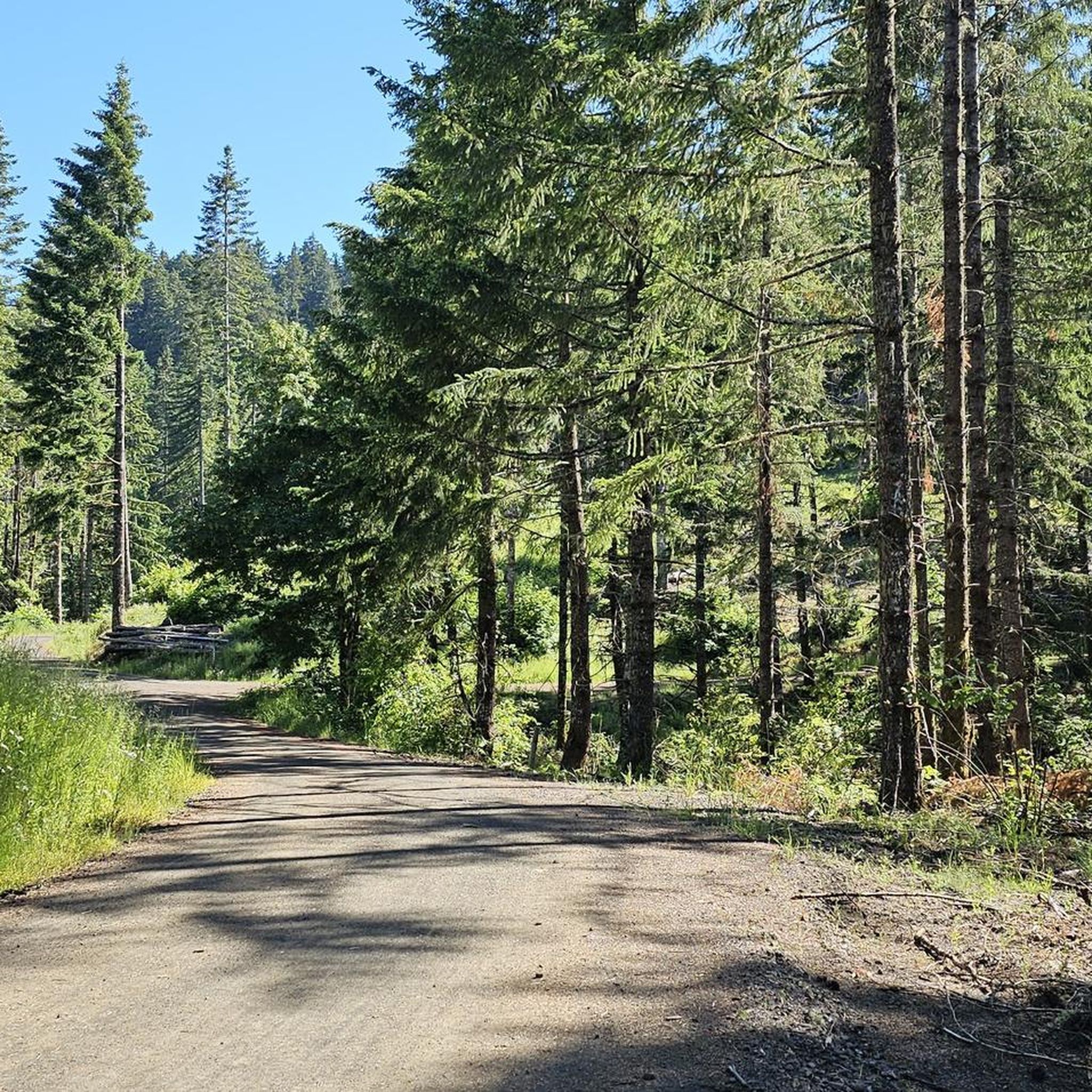
Sulphur Springs Road is the route to take up to Lewisburg Saddle, which is an intersection with parking and access to various trails. This road is open to bikes and cars.
0
0

The saddle has a parking lot with restrooms, and access to a handful of great easy riding trails through the woods.
0
0
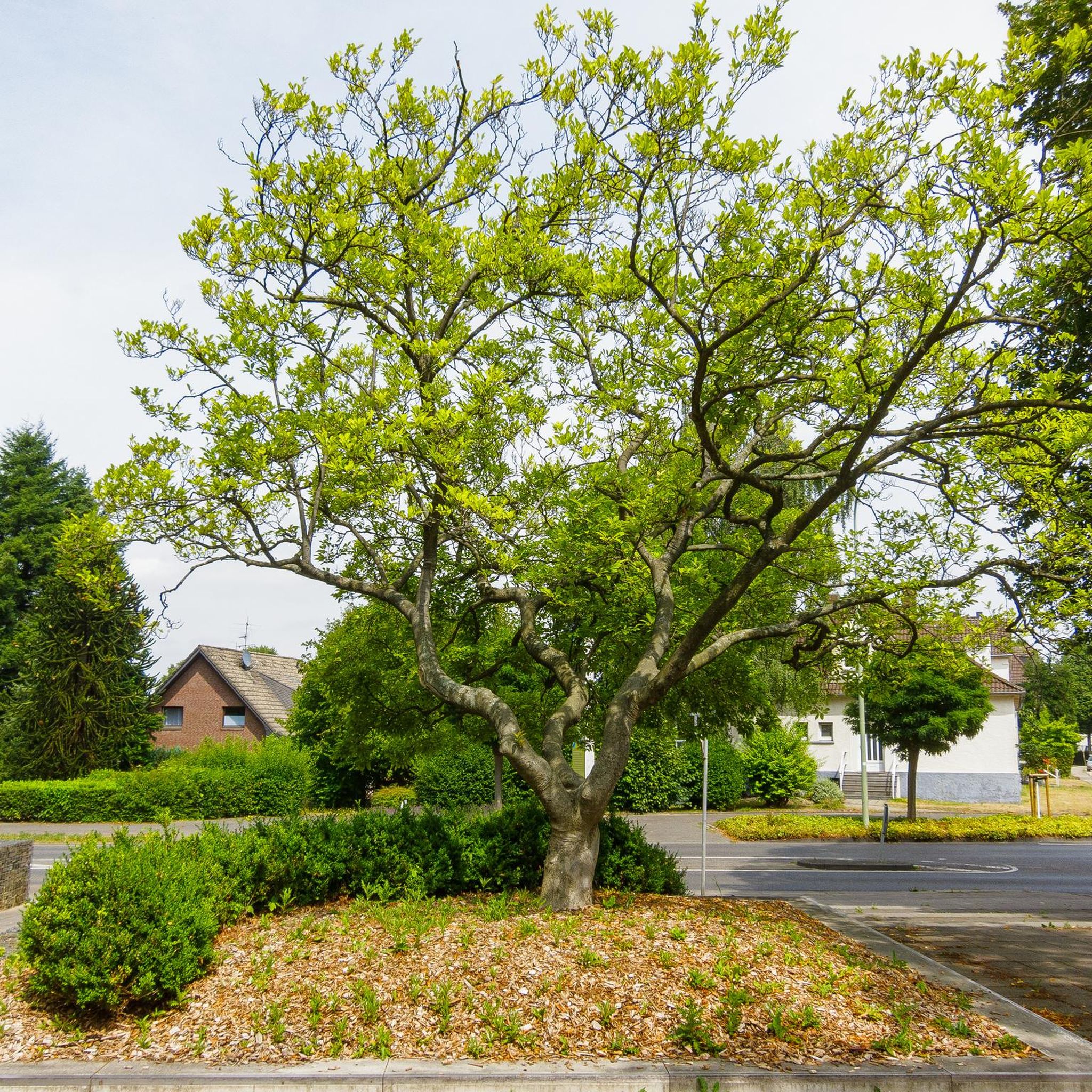
A long botanical pond with water features lines the west side of this pretty residential street.
0
0

Marys Peak is a significant and rewarding road biking ascent leading to the highest point in the Coast Range. Starting from near the valley floor, you'll climb around 12 miles, gaining over 3,600 feet at an average gradient of about 5.2%, though be prepared for some steeper sections getting up to 10% or more. As you wind your way up through beautiful Oregon Coast Range forests, the scenery changes with elevation, culminating near the summit in unique meadows surrounded by Noble firs, offering stunning panoramic views of the Willamette Valley and the distant Cascade mountains on a clear day.
0
0
The Corvallis-Philomath Multi-Modal Path is a 3.25-mile section of the larger Corvallis-to-the-Sea (C2C) Trail. The Corvallis-to-the-Sea Trail is 62 miles long and not all of the trail is approved for bicycles.
0
0
Frequently Asked Questions
How many road cycling routes are available around Philomath?
There are over 30 road cycling routes around Philomath, offering a variety of experiences for different skill levels. You'll find 15 easy routes, 13 moderate routes, and 5 challenging options.
What kind of terrain can I expect on road cycling routes in Philomath?
Road cycling around Philomath features diverse terrain, from gentle paths along river valleys to significant climbs influenced by the nearby Coast Range and Marys Peak. You'll encounter lush forests, open meadows, and scenic byways.
Are there any family-friendly road cycling routes in Philomath?
Yes, Philomath offers several family-friendly options. The Corvallis-Philomath Multi-Modal Path is a wide, paved route connecting Philomath and Corvallis, passing through parks like Avery Park. An easy option is the Avery Park – Philomath loop from Bald Hill Trailhead, which offers gentle gradients through river valleys.
What are some scenic viewpoints or landmarks to look out for on Philomath's road cycling routes?
The region is rich with scenic spots. You can enjoy breathtaking views of the valley and Marys Peak from Dimple Hill. Other notable attractions include the Avery Park Rose Garden and the historic Philomath College building, which houses the Benton County Museum.
Are there challenging road cycling routes with significant elevation gain near Philomath?
Absolutely. For experienced cyclists seeking a challenge, routes like the Marys Peak Climb loop from Skyline Valley offer over 1500 meters of elevation gain. Another demanding option is the Meadowedge Loop Trailhead – Marys Peak Climb loop from Bald Hill Natural Area, featuring over 1400 meters of ascent.
What is the best time of year for road biking in Philomath?
Philomath experiences mild, wet winters and warm, dry summers. This climate supports year-round outdoor activities, but the warm, dry summers generally offer the most pleasant conditions for road cycling.
Are there any long-distance road cycling routes around Philomath?
Yes, Philomath offers several longer routes. The Alsea Falls Recreation Area – Alsea Falls loop from Bald Hill Trailhead is nearly 60 miles (96 km) long, providing a substantial ride through forested areas. Another long option is the Sulphur Springs Road Trailhead loop from Bald Hill Trailhead, which covers almost 79 km.
What do other road cyclists say about the routes in Philomath?
The road cycling routes in Philomath are highly rated by the komoot community, with an average score of 4.3 stars from over 15 reviews. Cyclists often praise the diverse landscapes, from lush forests to river valleys, and the varied terrain that caters to different ability levels.
Can I find circular road cycling routes in the Philomath area?
Many of the road cycling routes around Philomath are designed as loops, allowing you to start and end at the same point. Examples include the Avery Park – Philomath loop and the challenging Marys Peak Climb loop.
Are there any specific roads or paths known for road cycling in Philomath?
The Corvallis-Philomath Multi-Modal Path is a popular paved route. Additionally, the region is part of the Marys Peak to Pacific Coast Scenic Byway, offering picturesque sections for cycling. Roads like Harry R. Patterson Road and Old Peak Road are also part of the cycling network.
Where can I find more information about Philomath and its attractions?
For more details about Philomath and its local attractions, you can visit the official tourism sites for the region. Check out Visit Oregon's Philomath page or Visit Corvallis's information on Philomath.
Most popular attractions around Philomath

Get inspired with the komoot mobile app


Explore more
Browse the best Road cycling routes in other regions.
