The best cycling routes around Engelthal
4.5
(6637)
36,008
riders
15
rides
Touring cycling routes around Engelthal are set amidst diverse landscapes at the foot of the Hirschberg, characterized by forests, fields, and river valleys. The region features paths along the Pegnitz and Schwarzach rivers, offering relatively flat terrain suitable for cycling. Elevated viewpoints like Glatzenstein provide expansive perspectives over the Nürnberger Land, while valley meadows offer scenic backdrops.
Best touring cycling routes around Engelthal
- The most popular touring cycling route is Engelthal Village Centre – View of Ottensoos loop from Engelthal…
Last updated: June 28, 2026
4.2
(15)
133
riders
25.9km
01:33
180m
180m
Moderate bike ride. Good fitness required. Mostly paved surfaces. Suitable for all skill levels.
4.8
(6)
32
riders
28.5km
01:48
150m
150m
Easy bike ride. Great for any fitness level. Mostly paved surfaces. Suitable for all skill levels.

Sign up for free
3.5
(2)
18
riders
Easy bike ride. Great for any fitness level. Mostly paved surfaces. Suitable for all skill levels.
1.0
(2)
18
riders
Easy bike ride. Great for any fitness level. Mostly paved surfaces. Suitable for all skill levels.
6
riders
14.9km
01:11
210m
210m
Moderate bike ride. Good fitness required. Mostly paved surfaces. Suitable for all skill levels.
Get access to more routes and recommendations from other explorers.
Sign up for free
Already have an account?
Our route recommendations are based on thousands of hikes, rides, and runs completed by other people on komoot.
Start today with a free account
Your next adventure awaits.
Login or Signup
Popular around Engelthal
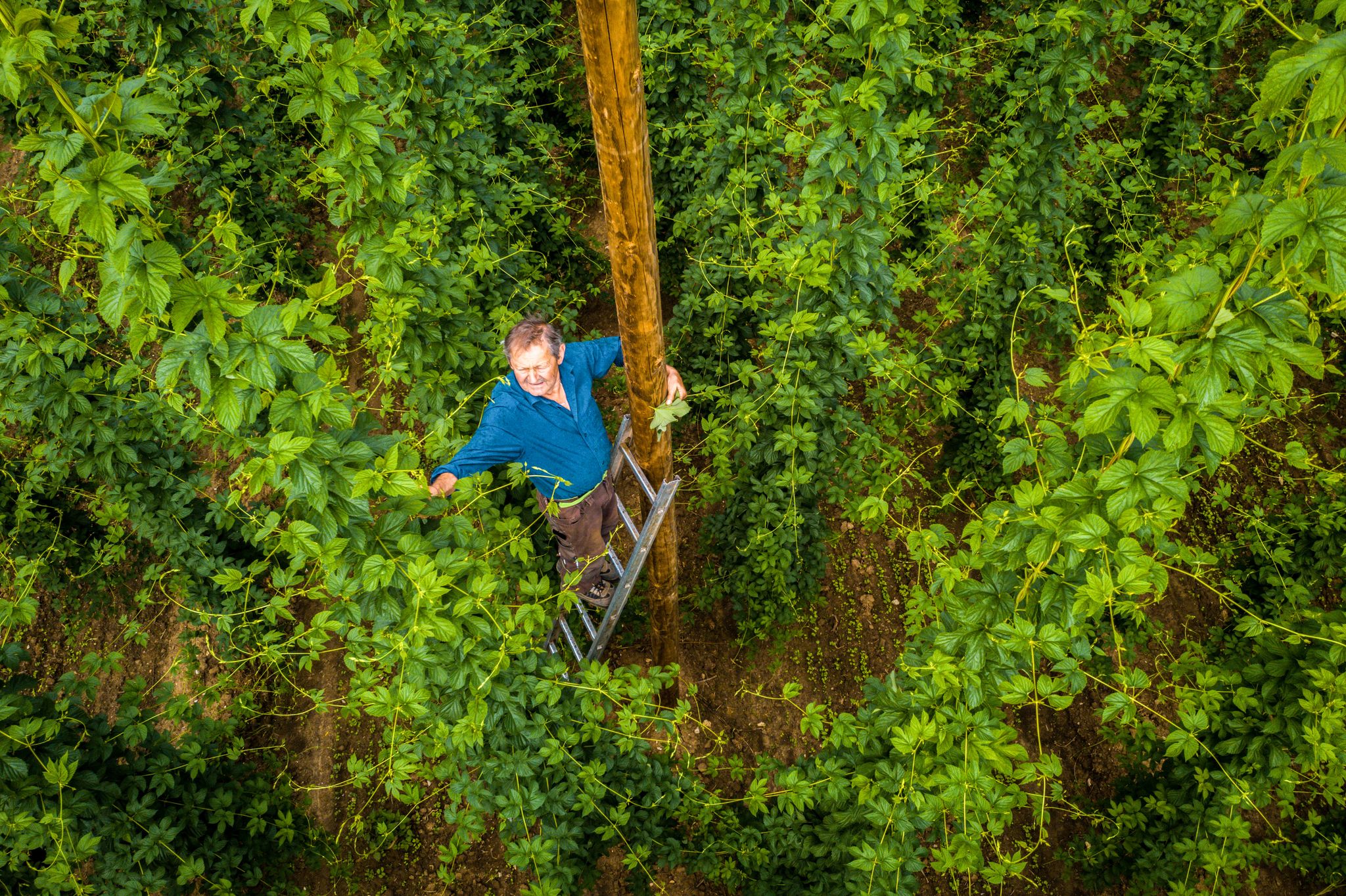
Hop Weeks in the Nürnberger Land – Hiking Trails Full of Delight
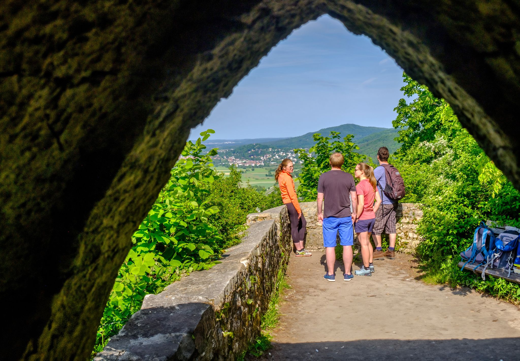
Discover a hiker’s paradise – hiking loops in the Nuremberg region
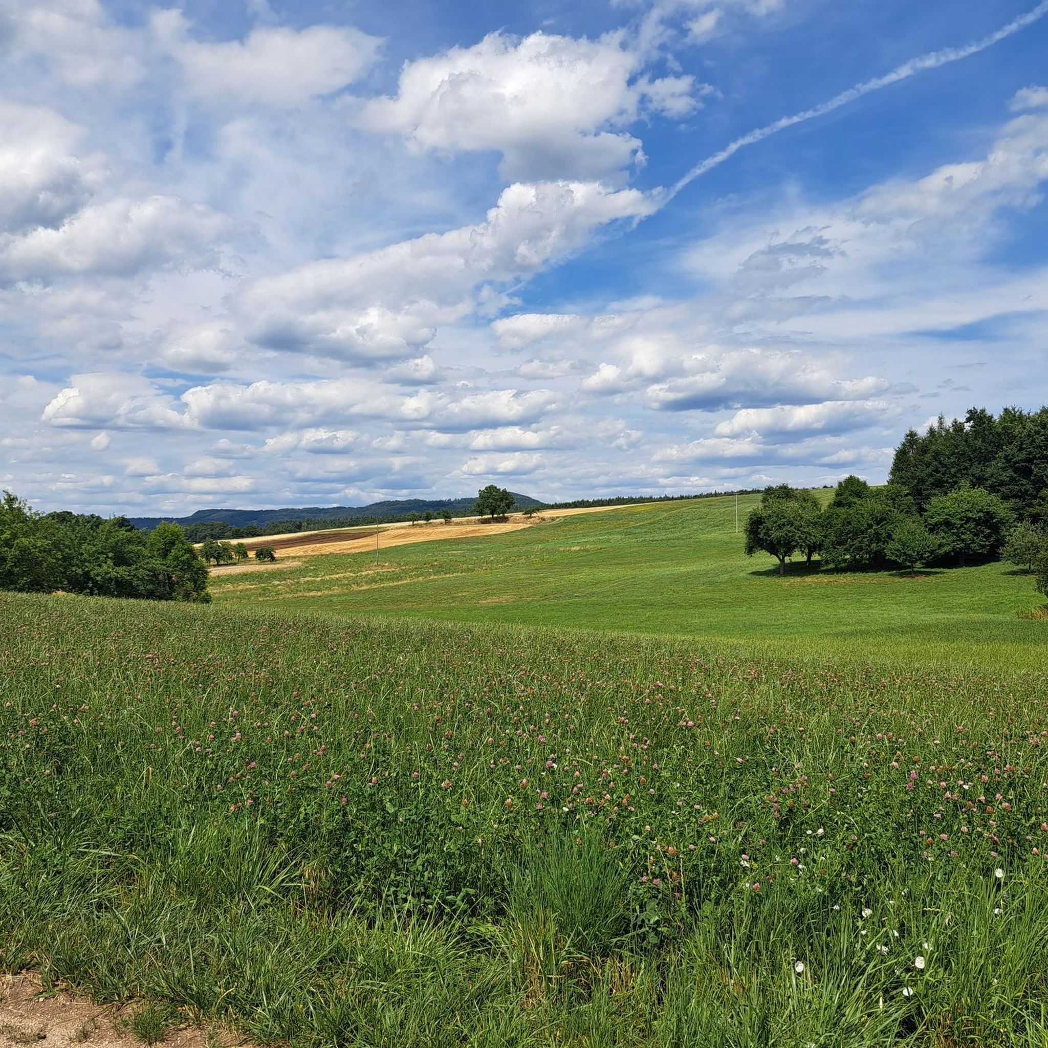
Hiking around Engelthal
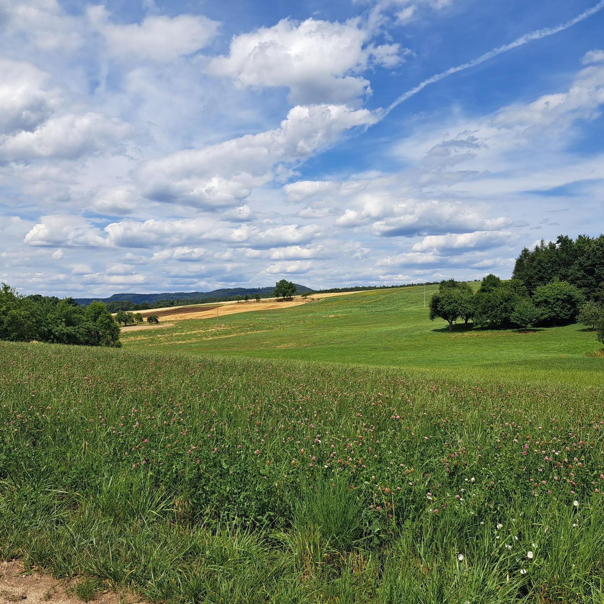
Road Cycling Routes around Engelthal
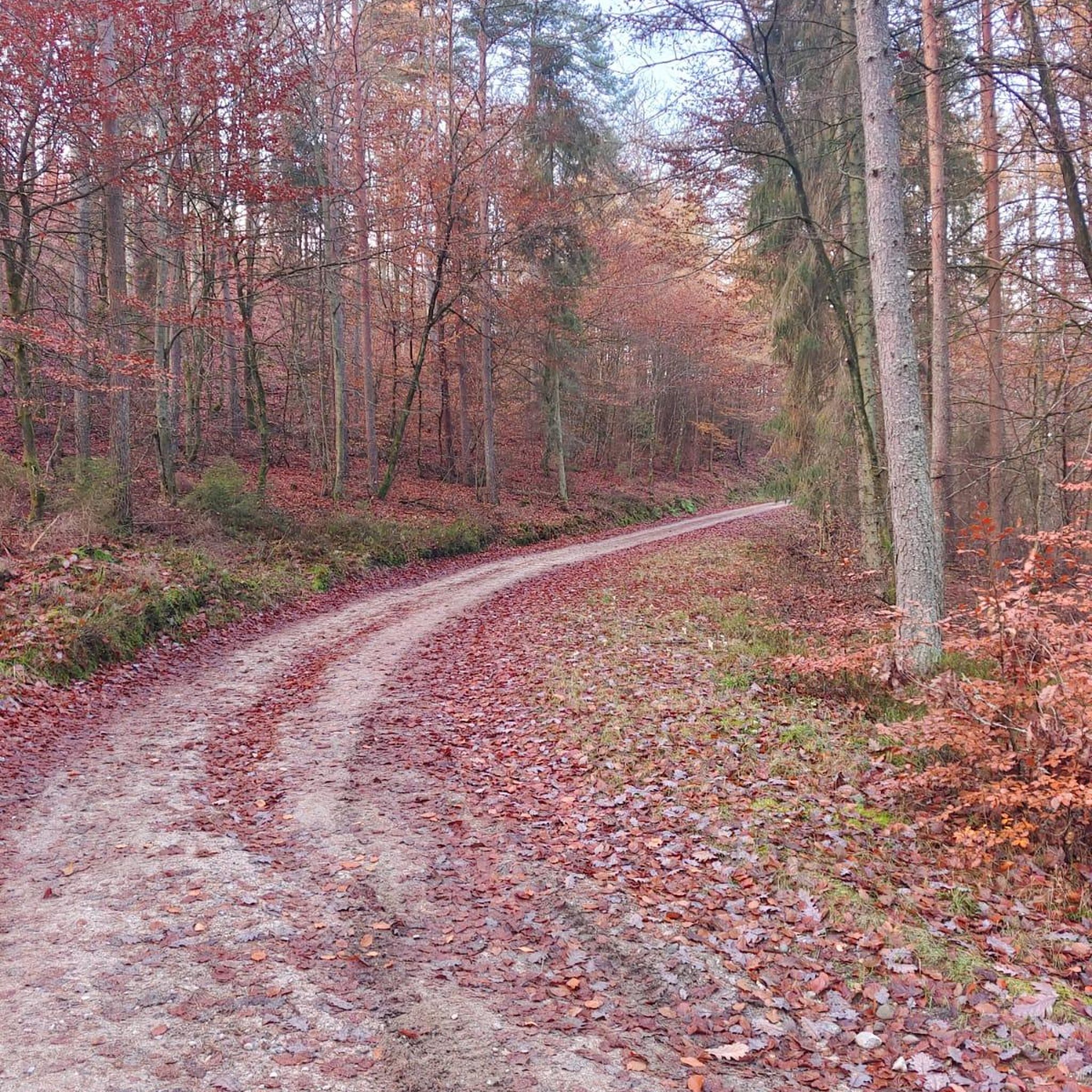
Gravel biking around Engelthal
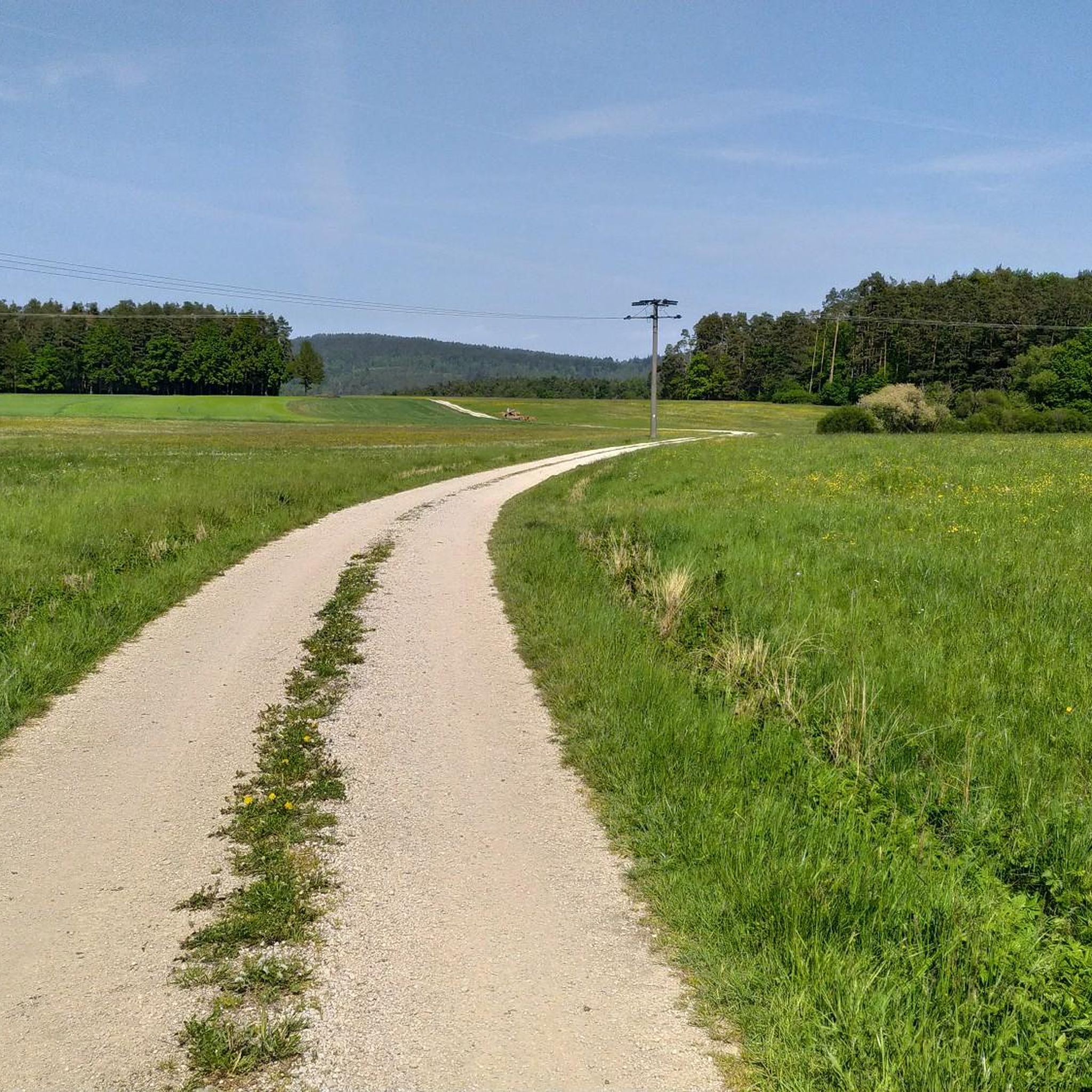
MTB Trails around Engelthal
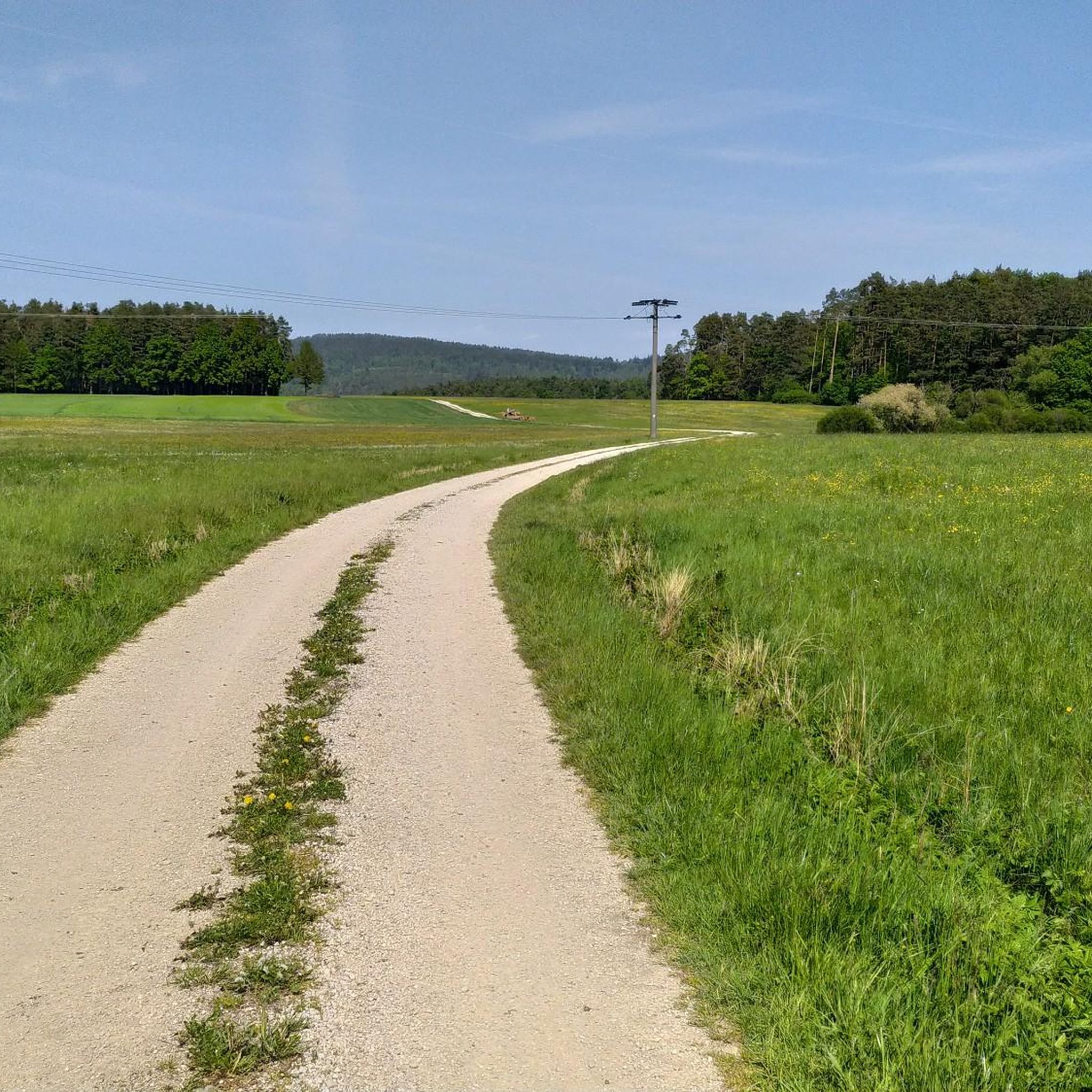
Running Trails around Engelthal
Mountain Hikes around Engelthal

Tips from the Community

In the years 1356 - 1360, the then Emperor Charles IV had a stately castle built on the small island on the Pegnitz. It served as a resting place on the way from Nuremberg to the imperial residence in Prague. The coat of arms hall is a stone testament to his power: 112 colorfully painted coat of arms shields of Bohemian noble families are carved into the wall. They were skillfully carved and painted into the sandstone by stonemasons. The coat of arms friezes are among the highest achievements of medieval heraldry.
2
0

The castle was built between 1356 and 1360 by Emperor Charles IV. It was strategically located on the "Golden Road", the important trade route between Nuremberg and Prague. Charles IV used it as a stopover castle and residence to consolidate his claims to power in the region. Today, it houses an external campus of the Nuremberg Academy of Fine Arts.
9
0
A drinking water fountain in the form of a hydrant is very welcome to refill water bottles on hot days.
6
0
Nice, generously laid out rest and playground area with ample seating, even for larger groups.
7
0

Beautiful Kneipp facility with a large playground. Also ideal for children and four-legged friends. A very small stream runs directly adjacent. There is also a restroom, shelter, seating, and a footpath with water (various surfaces).
0
0


Run is absolutely worth seeing 🫶🏻⭐⭐⭐⭐⭐
1
0
A "Tübbisch-Fänggisch" building 😉
0
0
Frequently Asked Questions
How many touring cycling routes are available around Engelthal?
There are over 840 touring cycling routes around Engelthal, catering to various skill levels. This includes nearly 300 easy routes, over 320 moderate routes, and more than 220 difficult routes for experienced cyclists.
What kind of terrain can I expect on touring cycling routes in Engelthal?
The terrain around Engelthal is diverse, featuring paths that wind through forests, fields, and along the Pegnitz and Schwarzach rivers, offering relatively flat sections. You'll also encounter routes with more elevation gain as you explore areas like the Hirschberg or the Franconian Dune Trail, which can be rugged in parts.
Are there easy touring cycling routes suitable for beginners or families?
Yes, Engelthal offers many easy touring cycling routes perfect for beginners or families. For example, the Engelthal Village Centre – Happurg Quarry Lake loop from Engelthal is an easy 17.7-mile (28.5 km) path that leads through varied terrain towards the scenic Happurg Quarry Lake.
Can I find challenging touring cycling routes in the Engelthal region?
Absolutely. The region provides over 220 difficult routes for those seeking a challenge. These routes often involve more significant elevation changes and cover longer distances, taking you through more demanding landscapes of the Nürnberger Land.
What natural features and viewpoints can I discover along the cycling routes?
You can explore impressive natural features such as the "Hohlen Felsen" (Hollow Rocks) near Happurg, which include karst caves and an outlook point over Happurger See. The Bitterbachschlucht (Bitterbach Gorge) is another striking natural site. For expansive views, consider routes that pass by Glatzenstein, offering perspectives over the Nürnberger Land. You can also find natural monuments like the Steinerne Rinne in the Thalheimer Valley.
Are there any historical sites or castles to explore while cycling?
Yes, the region is rich in history. You can cycle past historic sites like a former Benedictine monastery (originally a Dominican monastery from circa 1240) and the Chapel St. Ottmar-Ottilien. Nearby, you'll find several castles and ruins, such as the Rothenberg Fortress or the Lichtenstein castle ruins with viewpoint, offering glimpses into the region's past.
Are there circular touring cycling routes available?
Yes, many touring cycling routes around Engelthal are circular, allowing you to start and end at the same point. An example is the View of Offenhausen – View of Breitenbrunn loop from Engelthaler Forst, a 6.2-mile (10.0 km) trail through forested areas.
What is the best time of year for touring cycling in Engelthal?
The best seasons for touring cycling in Engelthal are spring and autumn. In spring, the valley meadows are in bloom, offering vibrant scenery. Autumn provides a visually rich experience with the foliage displaying spectacular colors. Both seasons generally offer pleasant temperatures for cycling.
Are there options for parking near the touring cycling routes in Engelthal?
Engelthal is well-equipped for visitors, and you can typically find parking options in or near the village center, which serves as a common starting point for many routes. Specific parking details might vary by route, but general access is good.
How can I reach the touring cycling routes around Engelthal using public transport?
Engelthal is accessible via public transport, which can help you reach starting points for various cycling routes. While specific connections depend on your origin, regional bus services often connect Engelthal with larger towns that have train stations, allowing for combined travel options.
What do other cyclists say about touring cycling in Engelthal?
The touring cycling routes in Engelthal are highly rated by the komoot community, with an average score of 4.5 stars from over 6,000 reviews. Cyclists often praise the diverse landscapes, the well-maintained paths along the rivers, and the scenic views from elevated points like Glatzenstein.
Can I find routes that offer a mix of forest and open landscapes?
Yes, the touring cycling routes around Engelthal frequently offer a beautiful blend of environments. You'll find paths winding through dense forests, opening up to expansive fields, and following picturesque valley meadows, providing a varied and engaging cycling experience.
Are there any routes that pass by waterfalls?
While not all routes feature waterfalls directly, the broader region around Engelthal does have several beautiful waterfall highlights that you can incorporate into your cycling adventures or visit separately. Notable examples include the Klingender Waterfall and the Sinter Terraces Häuselstein Waterfall.
Most popular routes around Engelthal
Most popular attractions around Engelthal

Get inspired with the komoot mobile app


Explore more
Browse the best Cycling routes in other regions.
