The best road cycling routes around Engelsbrand
4.5
(586)
8,234
riders
213
rides
Road cycling around Engelsbrand offers a dynamic environment within the Northern Black Forest, characterized by elevations ranging from 587 to 650 meters above sea level. This varied topography provides both ascents and descents, appealing to cyclists seeking diverse training grounds. The region features the picturesque Würm Valley with its lively Würm River, alongside impressive gorges such as Monbachtal and Wolfsschlucht, which contribute to the dramatic natural landscape. An extensive network of routes caters to various skill levels, from easy rides…
Last updated: July 12, 2026
4.8
(20)
524
riders
Hard road ride. Very good fitness required. Mostly well-paved surfaces and easy to ride.
4.6
(77)
372
riders
51.7km
02:30
740m
740m
Moderate road ride. Good fitness required. Mostly well-paved surfaces and easy to ride.

Sign up for free
4.7
(7)
121
riders
125km
05:52
1,300m
1,300m
Hard road ride. Very good fitness required. Some segments of this route may be unpaved and difficult to ride.
5.0
(1)
42
riders
47.7km
02:25
780m
780m
Moderate road ride. Good fitness required. Mostly well-paved surfaces and easy to ride.
16
riders
65.1km
03:06
730m
730m
Moderate road ride. Good fitness required. Some segments of this route may be unpaved and difficult to ride.
Get access to more routes and recommendations from other explorers.
Sign up for free
Already have an account?
Our route recommendations are based on thousands of hikes, rides, and runs completed by other people on komoot.
Start today with a free account
Your next adventure awaits.
Login or Signup
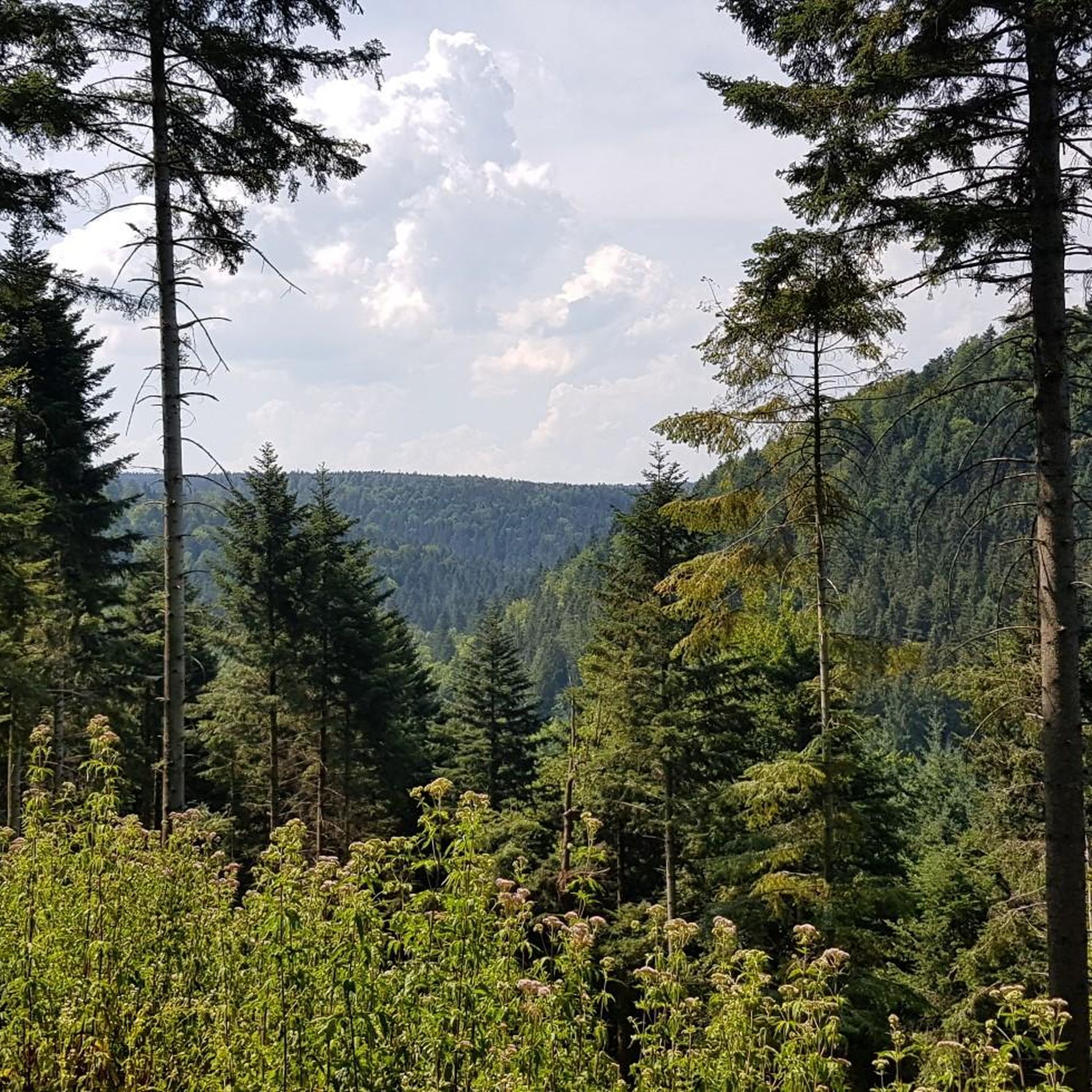
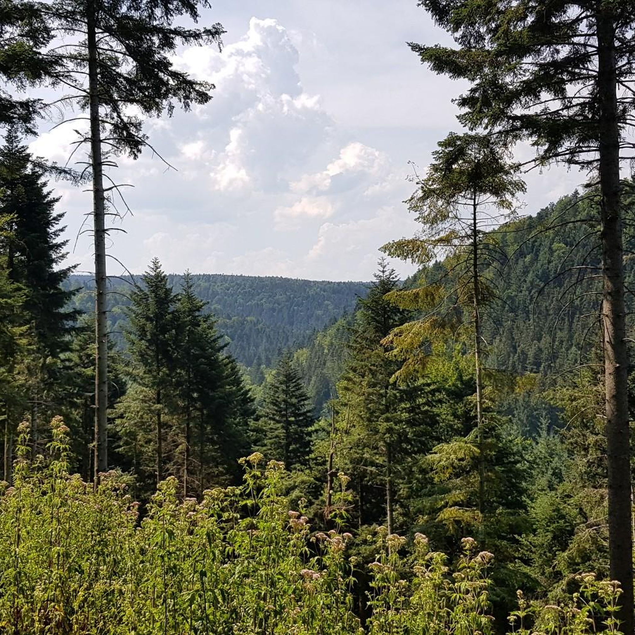

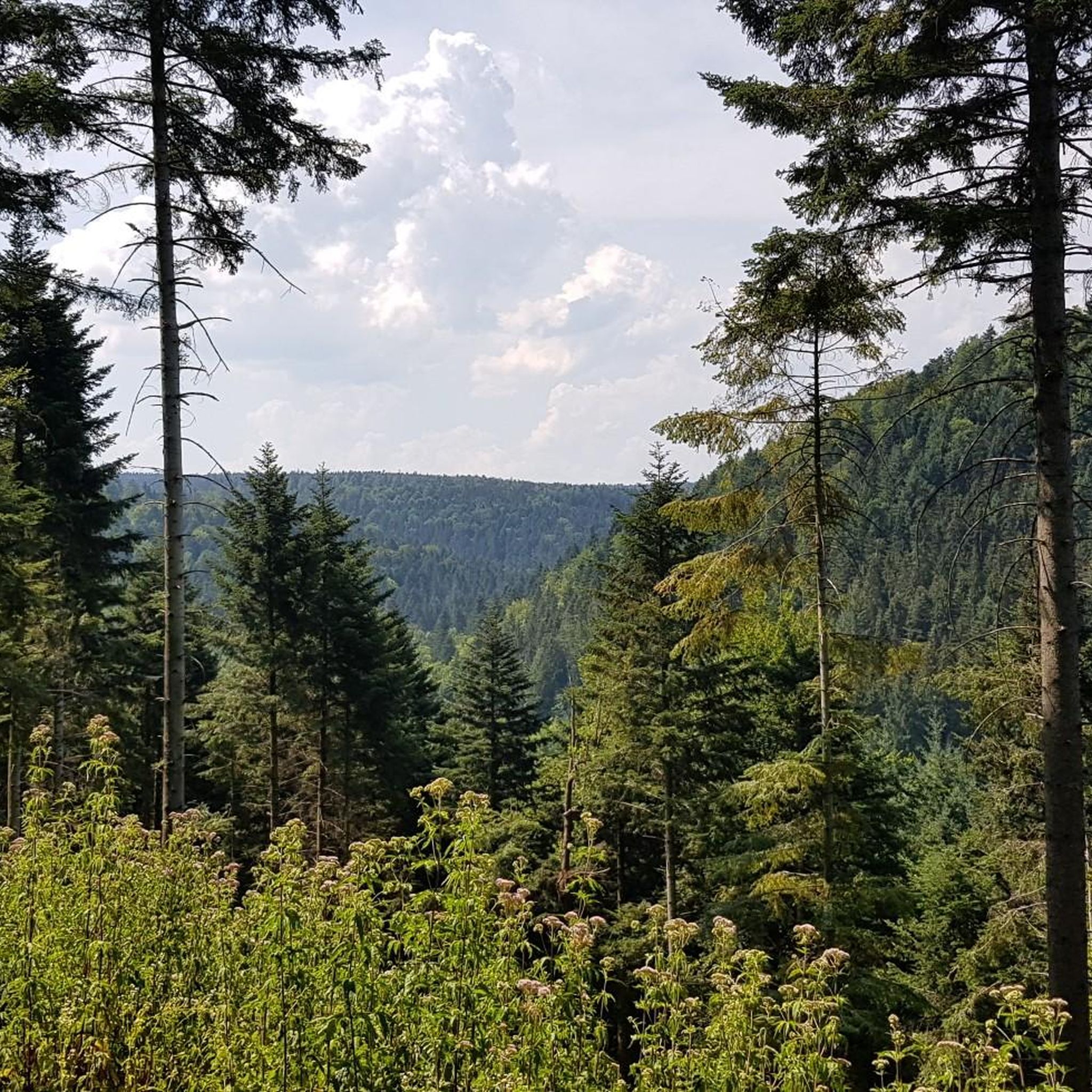
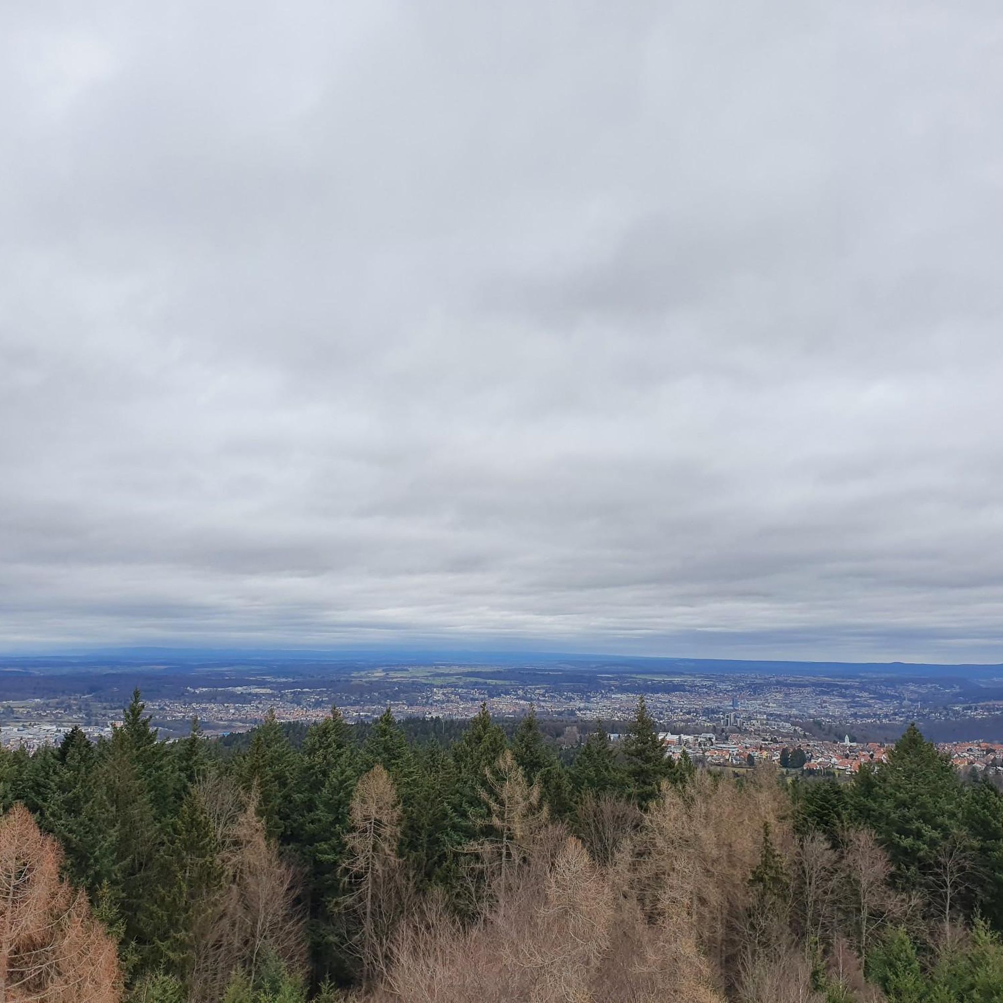
Tips from the Community

The Lengenbach, a tributary of the Nagold River, is dammed to create the Stadtsee (City Lake). A footpath encircles the lake, measuring just 300 meters. The walk is worthwhile, as the path offers a variety of scenic views. An information panel on the lake's shore explains that the Stadtsee was originally a reservoir for powering the waterwheel of the former Lower Mill. It also served as a trout pond, providing sustenance for the local fish. It remains unclear whether the dam was commissioned by Hirsau Abbey or by the local lords of the castle. Since 2013, a sandstone statue has stood on the lake's shore. It depicts the legendary giant "Erkinger," who once ruled Liebenzell Castle. As of 2021, the mill site located between the Stadtsee and St. Blasius Church awaits development. In this context, the Lengenbach stream is to flow above ground again from the city lake to the Nagold river. Housing and public parking are planned for the area.
1
0

A great road in itself. A bike path runs alongside it. Unfortunately, the road runs straight ahead, while the bike path zigzags 90° to 90° every 500 meters, and some of the tight curves are also covered in slippery gravel. The result: slow down to walking pace every 500 meters. So it's no wonder cyclists swerve onto the road where they can let it go.
0
0

The town lake in Bad Liebenzell is located on the orographic left slope of the Nagold Valley, approximately 200 meters west of the Nagold River. The Lengenbach, a tributary of the Nagold River, is dammed in the town lake by a small dam. A footpath can be used to circumnavigate the town lake. The circular path is just about 300 meters long. Walking around the small lake is worthwhile, as new views continually open up along the way.
3
0

Covered wooden bridge over the Nagold with two bulges in the middle of the bridge.
12
0

A perfect bike path: very good asphalt and nice and wide. And completely safe from cars and motorcycles, plus the scenery is beautiful.
0
0

A great route with beautiful views. Coming from Neuhausen, the climb is longer, but the gradient remains very moderate. Coming from Münklingen, you first have to conquer a steep ramp, but you're then rewarded with a long descent on a top-quality surface. Be careful on the descent to Münklingen! The gradient will increase your speed, and you should take the warning about road damage seriously! There are some nasty potholes and bumps that, in the worst case, can make you fly...
0
0
A wonderful route – quiet and with a great surface! It's a bit hilly at times, with a steeper section in between, which means a short descent from the Wildbad direction. In winter, however, the path isn't cleared, is a bit dirty (natural), and dries slowly due to the shady location. Then I prefer to take the road – which is more suitable for a steady pace. Otherwise, there's really no reason to leave the path. From Kaltenbronn, the only direct way to reach the bike path is via a short meadow trail around the bridge.
0
0
Calw is just... Calw - as a local, my opinion is probably distorted, but tourists love the charm of the "small town pearl" with its pretty old town. There are plenty of places to stop for a bite to eat. My favorites for coffee and cake are Café Goldmund, Café am Markt and Caféhäusle, but the other alternatives aren't bad either. Fruit and Turkish sweets are available at Kaya on Badstrasse, which also accepts card payments. On suitability for racing bikes: The paved pedestrian zone (from Lederstrasse to Badstrasse) does allow bicycles, but only at walking pace. This should definitely be adhered to out of consideration for everyone - especially on a summer weekend when it's particularly busy! If you want to speed, you should take Bischofsstrasse and Bahnhofstrasse. You can easily go with the flow of traffic there at 30-40km/h, although in the worst case scenario there will be several traffic lights waiting for you.
0
0
Frequently Asked Questions
How many road cycling routes are there in Engelsbrand?
Engelsbrand offers a wide selection of road cycling routes, with over 200 available for exploration. These routes cater to various skill levels, from easy rides to demanding climbs, ensuring a dynamic experience within the Northern Black Forest.
What kind of terrain can I expect when road cycling around Engelsbrand?
Road cycling around Engelsbrand features a varied topography with elevations ranging from 587 to 650 meters above sea level, providing both ascents and descents. You'll encounter picturesque river valleys like the Würm and Nagold, as well as forested landscapes characteristic of the Northern Black Forest. Some challenging segments may even include unpaved sections.
Are there routes suitable for beginners or less experienced road cyclists?
Yes, Engelsbrand offers routes suitable for all skill levels. There are 29 easy road cycling routes available, with many featuring mostly paved surfaces and shorter durations, typically up to 2 hours with around 500 feet of elevation gain. These are perfect for those looking for a more relaxed ride.
What are some challenging road cycling routes near Engelsbrand?
For experienced cyclists seeking a challenge, Engelsbrand has 67 difficult routes. A notable option is the Nagold Valley Cycle Path – Climb Erzgrube–Besenfeld loop from Unterreichenbach, which is a demanding 77.6-mile (124.9 km) path featuring significant climbs and extensive stretches through the Nagold Valley.
Are there any scenic viewpoints or natural features to look out for on road cycling routes?
Absolutely. The region is rich in natural beauty. You can cycle along the picturesque Würm Valley with the lively Würm River, offering pleasant resting spots and scenic views. While primarily for hikers, the dramatic landscapes of gorges like Monbachtal and Wolfsschlucht are also nearby and contribute to the area's visual appeal.
Can I find circular road cycling routes in Engelsbrand?
Yes, many road cycling routes around Engelsbrand are designed as loops, allowing you to start and end at the same point. For example, the Würmtal Scenic Road – Nagold Valley Cycle Path loop from Kapfenhardt is a popular 32.1-mile (51.7 km) circular route offering scenic views.
What is the best time of year for road cycling in Engelsbrand?
The Northern Black Forest region, including Engelsbrand, is generally best for road cycling from late spring through early autumn. During these months, the weather is typically milder, and the natural scenery is at its most vibrant, making for ideal riding conditions.
Are there family-friendly road cycling options in Engelsbrand?
While many road cycling routes in Engelsbrand involve varied terrain and elevation, there are 29 easy routes that could be suitable for families with older children or those looking for less strenuous rides. These routes often feature mostly paved surfaces and shorter distances.
Is it possible to bring my dog on road cycling routes around Engelsbrand?
Road cycling routes are generally on public roads or paved cycle paths. While dogs are often allowed on a leash in public areas, it's important to consider your dog's endurance and safety, especially on longer or faster-paced road cycling tours. Always ensure your dog is comfortable and safe when accompanying you on a ride.
Where can I find parking for road cycling in Engelsbrand?
Engelsbrand is well-equipped for outdoor enthusiasts. You can typically find parking facilities in and around the main village areas or at designated trailheads. Many routes start from locations with accessible parking, making it convenient to begin your ride.
How can I access road cycling routes in Engelsbrand using public transport?
Public transport options in the Northern Black Forest region may include bus services that connect to Engelsbrand. However, specific rules for transporting bicycles on public transport can vary. It's advisable to check with local transport providers for their current policies regarding bike carriage before planning your trip.
Are there places to stop for refreshments like cafes or pubs along the routes?
Yes, you'll find opportunities for refreshments. The region has various huts and restaurants. For example, the Eyachmühle Inn is a restaurant highlight in the area, and there are also several huts like Rolf Hamann Hut and Steinbuckel Hut that can serve as convenient stops.
What do other cyclists say about road cycling in Engelsbrand?
The road cycling experience in Engelsbrand is highly regarded by the komoot community, with an average score of 4.6 stars from over 530 reviews. More than 7,800 road cyclists have used komoot to explore the varied terrain, often praising the diverse elevations, scenic river valleys, and the extensive network of routes.
How long do road cycling routes typically take in Engelsbrand?
The duration of road cycling routes in Engelsbrand varies significantly depending on the distance and difficulty. Easy routes can be completed in under 2 hours, while moderate routes like the Nagold Valley Cycle Path – Ostelsheim Climb loop from Unterreichenbach typically take around 3 hours. More challenging routes can extend to 5 hours or more.
Most popular routes around Engelsbrand
Most popular attractions around Engelsbrand

Get inspired with the komoot mobile app


Explore more
Browse the best Road cycling routes in other regions.
