The best road cycling routes around Fairborn
4.9
(11)
372
riders
24
rides
If you've ever tried to plan road cycling around Fairborn, you know how many options pop up, making it tough to figure out which routes are genuinely worth your time and effort. It's easy to get lost in a sea of choices, wondering which trails offer the best experience without endless guesswork. That's where we come in. Our komoot community has mapped, ridden, and reviewed countless routes here, so we've done the legwork to bring you a curated shortlist of…
Last updated: May 31, 2026
5.0
(2)
31
riders
Easy road ride. Great for any fitness level. Mostly well-paved surfaces and easy to ride.
16
riders
70.3km
02:56
270m
270m
Moderate road ride. Good fitness required. Mostly well-paved surfaces and easy to ride.

8
riders
Moderate road ride. Good fitness required. Mostly well-paved surfaces and easy to ride.
17
riders
36.4km
01:32
130m
130m
Easy road ride. Great for any fitness level. Mostly well-paved surfaces and easy to ride.
15
riders
Easy road ride. Great for any fitness level. Mostly well-paved surfaces and easy to ride.
Get access to more routes and recommendations from other explorers.
Already have an account?
Our route recommendations are based on thousands of hikes, rides, and runs completed by other people on komoot.
Start today with a free account
Your next adventure awaits.



Tips from the Community

A very well-maintained park with beautiful hiking trails. There are parking spaces and shelters that can be rented for barbecues.
0
0

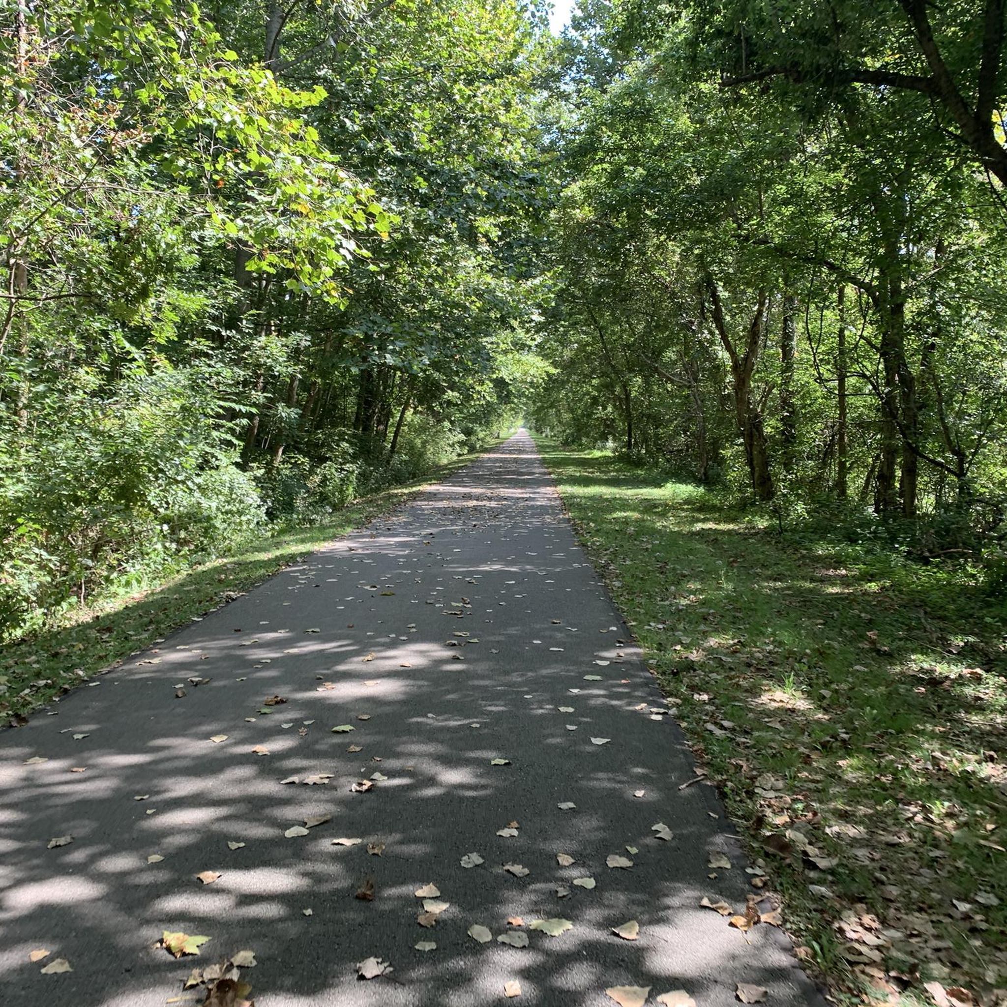
The Creekside Trail is a great 16-mile long trail that connects Dayton and Xenia. The trail is fully paved and is popular with walkers and cyclists. This section runs through several parks and green spaces, so it is a wonderful segment to ride.
0
0

Southern Ohio Brewery is right off the Beavercreek Trail Connector and is a great spot to grab some refreshments and food as a break along your ride.
0
0
The Wright Brothers Bikeway is an almost 5-mile long paved trail that runs through Fairborn. It is popular with cyclists and hikers, so make sure you are respectful of the other trail users.
1
0
The Prairie Grass Trail is a 29-mile trail from Xenia to London and is part of the Ohio to Erie Trail. The trail is fully paved and mostly flat. This section takes you through open fields and into Cedarville, where there are options to refuel.
1
0
Cedarville is a beautiful small town in Greene County. The town was originally settled by Irish and Scottish immigrants in 1799. It is right off the Prairie Grass Trail and is a great place for a break. The town is home to Cedarville University, which has a nice campus and lake that are open public visits.
1
0
The Xenia Station is a replica of an old brick train station that used to be in the area. It now holds a museum and meeting space, and serves as a trail head for several trails that intersect at this point.
1
0
The Creekside Trail is a great 16-mile long trail that connects Dayton and Xenia. The trail is fully paved and is popular with walkers and cyclists. This section runs through several parks and green spaces, so it is a wonderful segment to walk.
0
0
Frequently Asked Questions
How many road cycling routes are available around Fairborn?
Fairborn offers a diverse selection of over 25 road cycling routes, catering to various skill levels. These routes are part of the extensive Miami Valley Trail System, providing numerous options for exploration.
What kind of terrain can I expect on road cycling routes in Fairborn?
The road cycling routes around Fairborn are primarily characterized by an extensive network of paved trails with generally gentle gradients. You'll traverse natural corridors, experience views of the Mad River Valley, and pass by historical sites. The focus is on smooth, well-maintained surfaces suitable for road bikes.
Are there easy road cycling routes suitable for beginners or families in Fairborn?
Yes, Fairborn has 10 easy road cycling routes perfect for beginners or families. An excellent option is the Wright State Biology Preserve – Coffee Hub loop from Wright State University, which is 27.9 miles (44.9 km) long and connects to Wright State University through natural areas.
Can I find longer, more challenging road cycling routes in Fairborn?
Absolutely. Fairborn offers 16 moderate road cycling routes for those seeking a longer ride. A popular choice is the Creekside Trail – Xenia Station loop from Wright State University, a 43.4 miles (69.9 km) path that utilizes the Creekside Trail and extends to Xenia Station, a significant regional trail hub.
What historical sites or landmarks can I see while road cycling in Fairborn?
Many routes pass by significant historical sites. You can cycle past the Wright Brothers Memorial Park and the Huffman Prairie Flying Field, where the Wright Brothers perfected controlled flight. The Five Rivers Fountain of Lights is another notable landmark in the broader Dayton area accessible via the trail system.
Are there any scenic viewpoints or natural features along the road cycling routes?
Yes, cyclists can enjoy diverse natural settings and scenic views. The Wright Brothers-Huffman Prairie Bikeway offers views of the Mad River Valley, and the Creekside Trail travels through a nature-filled corridor. You might also encounter features like the Stone Bridge Over the Pond or pass by areas like Glen Helen Nature Preserve and Eastwood MetroPark.
Where can I park my car when accessing road cycling trails in Fairborn?
Parking is generally accessible near the trailheads. For example, the Fifth Third Gateway Park and Ride Facility is a convenient option for accessing the extensive trail network.
Are there loop routes for road cycling in Fairborn?
Yes, many of Fairborn's road cycling routes are designed as loops, offering a convenient way to start and end your ride at the same point. An example is the Creekside Trail BMX Jumps loop from Fairborn, a 31.9 miles (51.4 km) trail through a natural corridor.
What do other cyclists say about road cycling in Fairborn?
The road cycling routes in Fairborn are highly rated by the komoot community, with an average score of 4.8 stars from over 17 reviews. Cyclists often praise the extensive paved trail system, the natural corridors, and the historical sites encountered along the way.
Are there places to eat or get coffee near the road cycling routes in Fairborn?
Fairborn and its surrounding areas offer various cafes and eateries. Many routes, like the Wright State Biology Preserve – Coffee Hub loop, are specifically designed to include stops at places like coffee hubs, making it easy to refuel during your ride.
What is the best time of year for road cycling in Fairborn?
The spring, summer, and fall months generally offer the most pleasant conditions for road cycling in Fairborn. The extensive paved trail system is well-maintained, making it enjoyable across these seasons. Always check local weather conditions before heading out.
Is public transport available to reach the road cycling trails in Fairborn?
While Fairborn is well-connected by its trail system, direct public transport access to specific trailheads can vary. It's advisable to check local RTA (Greater Dayton Regional Transit Authority) routes and schedules for the most current information on bus stops near major trail access points.
Are dogs allowed on the road cycling trails in Fairborn?
Many paved trails within the Miami Valley Trail System, including those around Fairborn, are dog-friendly, provided dogs are kept on a leash. Always check specific trail regulations, especially in nature preserves or metro parks, to ensure compliance.
Most popular routes around Fairborn
Most popular attractions around Fairborn

Get inspired with the komoot mobile app


Explore more
Browse the best Road cycling routes in other regions.
