Top 20 Mountain Passes around Ginzling
Best mountain passes around Ginzling are found within the Zillertal Alps Nature Park, a region known for its 72 three-thousand-meter peaks and numerous glaciers. Ginzling, designated a "Mountaineering Village," serves as a base for exploring high-alpine routes. All footpaths and trails in Ginzling have been awarded the "Mountain Path Seal of Approval" from the State of Tyrol. This area offers diverse experiences for outdoor enthusiasts.
Best mountain passes around Ginzling
- The most popular mountain passes is Friesenbergscharte, a mountain…
Last updated: October 13, 2026
Ascent to Mörchenscharte
Highlight (Segment) • Mountain Pass
Translated by Google •
Tip by

View of Hochfeiler from Unterschrammachkar
Highlight • Viewpoint
Translated by Google •
Tip by

Sign up now to discover places like this
Get recommendations on the best single tracks, peaks, & plenty of other exciting outdoor places.
Ascent to Pfitscherjoch
Highlight • Mountain Pass
Translated by Google •
Tip by

Lapenscharte
Highlight • Mountain Pass
Translated by Google •
Tip by

Pfitscher Joch–Schlegeis Singletrail
Highlight (Segment) • Trail
Translated by Google •
Tip by

Sign up for free to discover even more mountain passes around Ginzling.
Already have an account?
Start today with a free account
Your next adventure awaits.
Popular around Ginzling
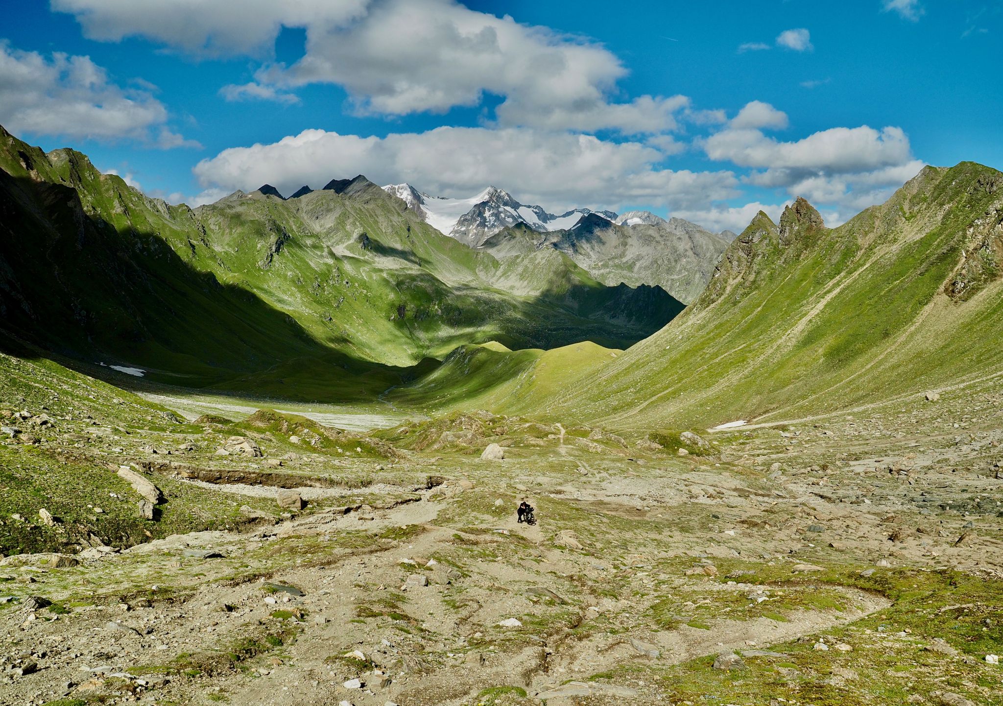
The Zillertal Trail – three passes and a howling dog
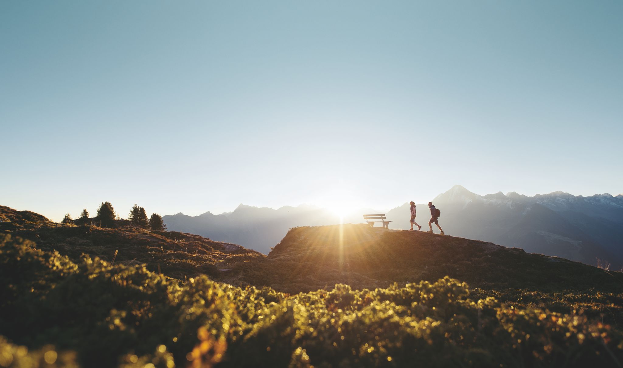
Discover the Zillertal Valley in Austria on eight varied walks
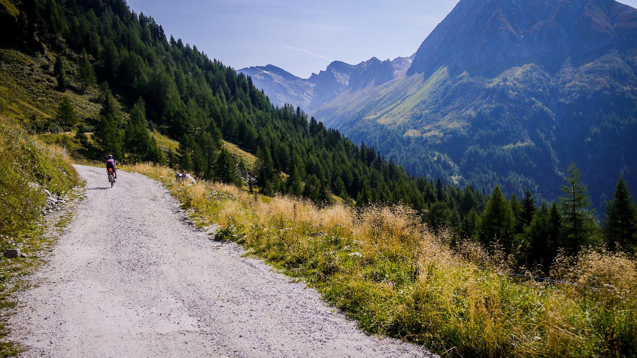
Off-road through South Tyrol – bikepacking between Austria and Italy
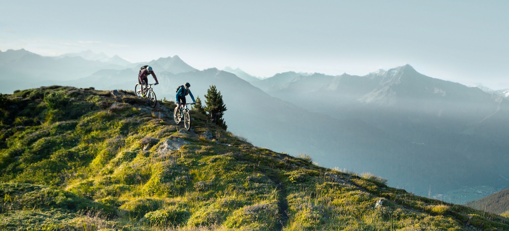
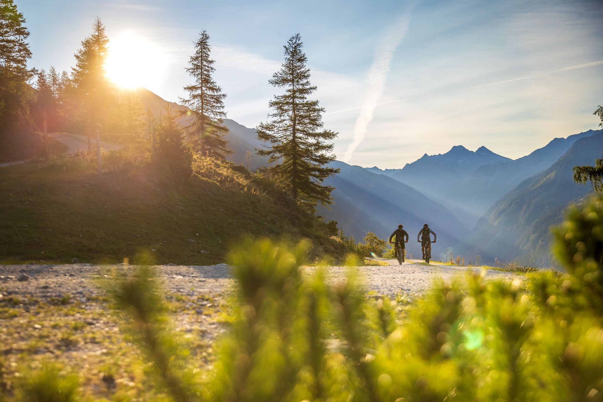
Feine Trails vor herrlicher Kulisse – mit dem MTB im Zillertal
Bike & Hike im Zillertal
Road Cycling Routes around Ginzling
Hiking around Ginzling
MTB Trails around Ginzling

Mountain Hikes around Ginzling
Cycling around Ginzling
Other adventures around Ginzling


Tips from the Community

The ascent from the Italian side is really demanding, but it is one of the most beautiful hikes I have ever done in my life.
0
0

Breathtaking scenery! If you want to shorten the pushing sections, keep to the right below the Lavitz Alm.
0
0

The route from Lapenscharte to Greizer Hütte is very beautiful, more of a hiking trail almost to the gap. Only the last few meters of altitude are over gravel/boulders. On the other side, the route to the Kasseler Hütte is much more challenging.
0
0

AMAZING PASSAGE AT ALTITUDE
0
0

Good to drive at first. Later, pushing is also announced
0
1

Access to the Gigalitz Tower Southeast Ridge
0
0

This section is scenically beautiful, but difficult to master by bike.
1
0

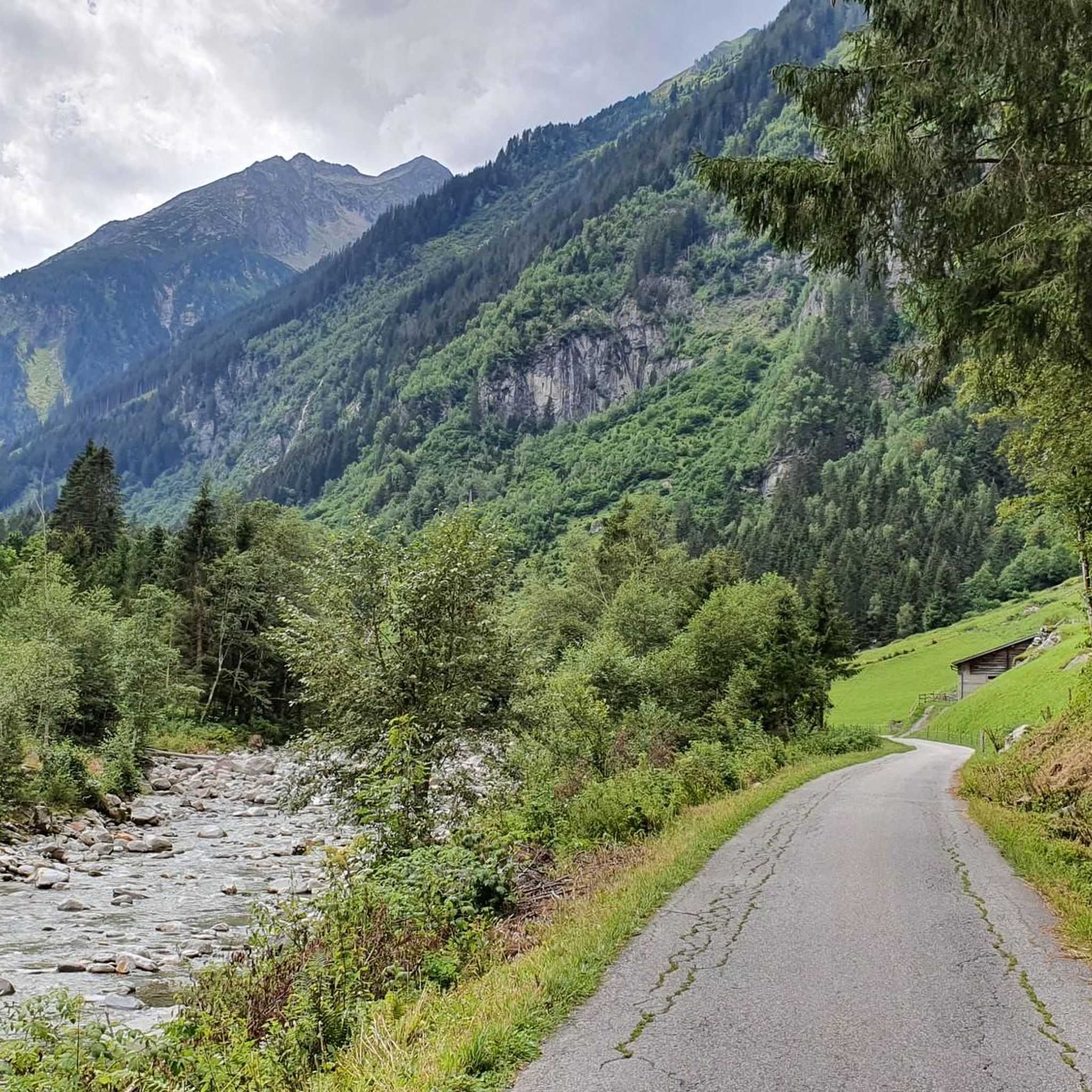
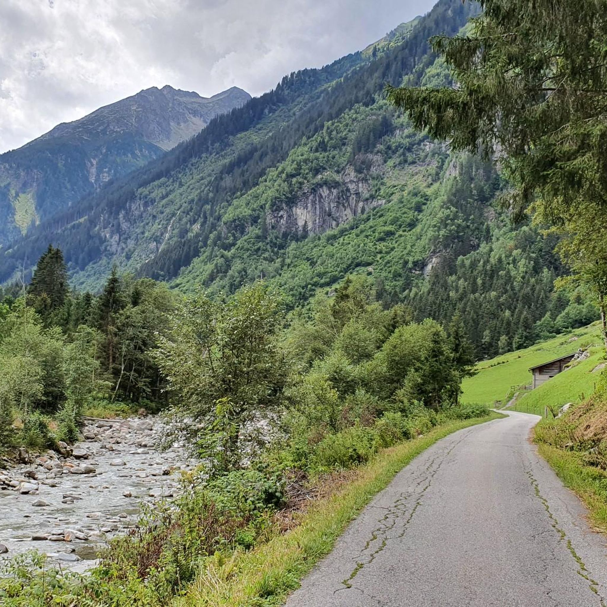
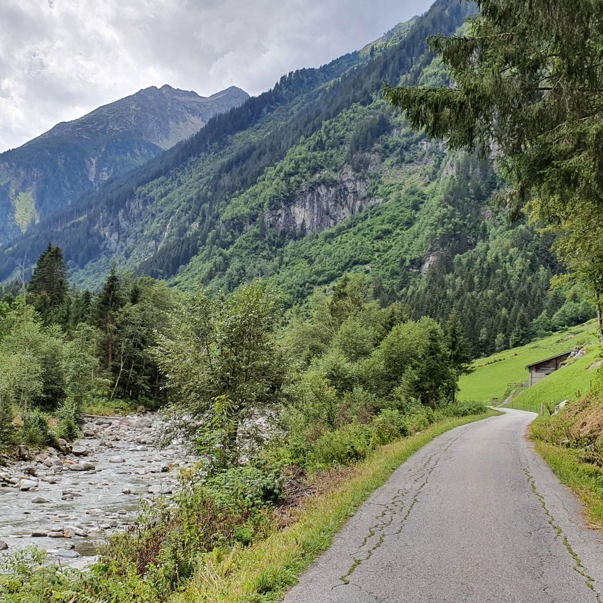
Beautiful valley with streams and small bridges.
4
0
Frequently Asked Questions
What are some of the most scenic mountain passes and viewpoints around Ginzling?
The region around Ginzling, nestled in the Zillertal Alps Nature Park, offers breathtaking scenery. The Schlegeis Alpine Road provides panoramic views of three-thousand-meter peaks, roaring waterfalls, and leads to the emerald green Schlegeis Reservoir. From the Friesenbergscharte, you get sensational views of the Zillertal Alps. The Vizze Pass offers gorgeous views of glacial lakes and the majestic Gran Pilastro. Another stunning viewpoint is the View of Hochfeiler from Unterschrammachkar, rewarding visitors with a breathtaking vista of the highest mountain in the Zillertal Alps.
Are there challenging mountain passes for experienced mountaineers near Ginzling?
Yes, Ginzling is known for its challenging high-alpine routes. The Friesenbergscharte, at 2,904 meters, features a steep path secured with steel cables, requiring a head for heights. The Lapenscharte is technically easy for experienced mountaineers but demands good physical condition due to block stone terrain. The Berliner Höhenweg also includes challenging sections like the Mörchenscharte (2,977 m) and Schönbichler Scharte (3,081 m).
What kind of outdoor activities can I do near the mountain passes around Ginzling?
The area around Ginzling's mountain passes is a hub for various outdoor activities. You can embark on extensive mountain hikes, with routes like the Klausenalm – Grawandhütte loop or the Ahornspitze loop. For mountain biking, there are challenging trails such as the Pfitscher Joch–Schlegeis Singletrail, known for its scenic beauty and enjoyable descent. There are also numerous cycling routes, including those around the Stillup Reservoir and the Schlegeis Dam. Explore more options on the MTB Trails around Ginzling, Mountain Hikes around Ginzling, and Cycling around Ginzling guide pages.
Are there any long-distance hiking trails accessible from Ginzling?
Yes, Ginzling serves as an excellent starting point for sections of the renowned Berliner Höhenweg (Berlin High Route). This long-distance trail traverses the Zillertal Alps, offering multi-day hut-to-hut expeditions. You can access it via the Mörchenscharte to the Greizer Hütte or via the Schönbichler Scharte to Furtschaglhaus. The Vizze Pass is also part of 'The Trans-Alpine Crossing,' another well-known long-distance hiking trail.
What is the best time of year to visit the mountain passes around Ginzling?
The best time to visit the mountain passes around Ginzling is generally from mid-May to late October. During this period, the Schlegeis Alpine Road is typically open, and the high-alpine trails are more accessible, weather permitting. This season offers the most favorable conditions for hiking, cycling, and enjoying the panoramic views before winter snows arrive.
Can I find accommodation or places to eat near the mountain passes?
Yes, the region offers options for refreshment and overnight stays. The Pfitscherjoch-Haus, located immediately after crossing the border into South Tyrol via the Vizze Pass, provides typical cuisine and accommodation. Along the Berliner Höhenweg, the historic Berliner Hütte is a beloved destination with a spacious dining hall, and other huts like the Greizer Hütte and Furtschaglhaus also offer services.
Are there any unique experiences or attractions at the mountain passes?
Absolutely. At the Schlegeis Reservoir, you can take a guided tour of the impressive 131-meter-high Schlegeis Dam wall, offering insights into electricity generation. For adrenaline seekers, the #Schlegeis131 experience includes a spectacular via ferrata on the dam wall and a 600-meter-long flying fox. The Berliner Hütte on the Berliner Höhenweg is protected as a historic monument and once had its own shoemaker and post office, making it a unique stop.
What makes the trails around Ginzling special?
All footpaths and trails in Ginzling have been awarded the 'Mountain Path Seal of Approval' from the State of Tyrol, ensuring quality and safety. The trails immerse visitors in a wild natural landscape shaped by the Rio Zams river, part of the Zillertal Alps Nature Park. They offer unparalleled experiences of natural landscapes, showcasing rich biodiversity and fascinating geological history.
Is there parking available for accessing the mountain passes?
Yes, for accessing the Schlegeis Alpine Road and the areas beyond, there is parking available. The road itself is a toll road that begins in Ginzling and leads up to the Schlegeis Reservoir, where you'll find parking facilities to start your hikes or activities.
What do visitors particularly enjoy about the mountain passes around Ginzling?
Visitors frequently praise the breathtaking views and the sense of adventure. The Pfitscher Joch–Schlegeis Singletrail is often highlighted as an 'ingenious single trail' with 'unbelievably fun' descents and a 'dream backdrop.' The Ascent to Mörchenscharte is noted for its 'great view' making the effort 'really worth it.' The overall appeal lies in the dramatic mountain scenery, challenging treks, and deep immersion in nature.
Are there any mountain passes that cross into other regions or countries?
Yes, the Vizze Pass (Pfitscher Joch / Passo di Vizze) is a notable alpine crossing that takes hikers across the border into South Tyrol, Italy. This makes it a unique cross-border alpine experience, allowing you to explore two regions in one journey.
Most popular routes around Ginzling
Most popular attractions around Ginzling

Get inspired with the komoot mobile app


Explore more
See even more epic mountain passes by checking out these guides around Ginzling:
