
The best road cycling routes around Royal Pines
4.3
(3)
246
riders
38
rides
Road cycling around Royal Pines is characterized by varied terrain, including challenging mountain roads and scenic routes through valleys and near lakes. The region features significant elevation changes, with many routes incorporating climbs and descents. Cyclists can expect to encounter forested areas, open stretches, and views of the surrounding landscape. The network of roads provides options for different skill levels, from moderate to difficult.
Best road cycling routes around Royal Pines
- The most popular road cycling route is Pierce Lake…
Last updated: July 9, 2026
16
riders
96.4km
05:10
1,410m
1,410m
Hard road ride. Very good fitness required. Mostly well-paved surfaces and easy to ride.
3.0
(1)
9
riders
35.0km
01:56
590m
590m
Embark on the Roadbike loop from Hoopers Creek for a dynamic ride through North Carolina's scenic countryside. This popular route winds through a landscape of rolling hills and forested valleys,…

Sign up for free
9
riders
42.7km
02:10
420m
420m
Moderate road ride. Good fitness required. Mostly well-paved surfaces and easy to ride.
6
riders
41.5km
02:05
400m
400m
Moderate road ride. Good fitness required. Mostly well-paved surfaces and easy to ride.
5
riders
32.2km
01:35
390m
390m
Moderate road ride. Good fitness required. Mostly well-paved surfaces and easy to ride.
Get access to more routes and recommendations from other explorers.
Sign up for free
Already have an account?
Our route recommendations are based on thousands of hikes, rides, and runs completed by other people on komoot.
Start today with a free account
Your next adventure awaits.
Login or Signup

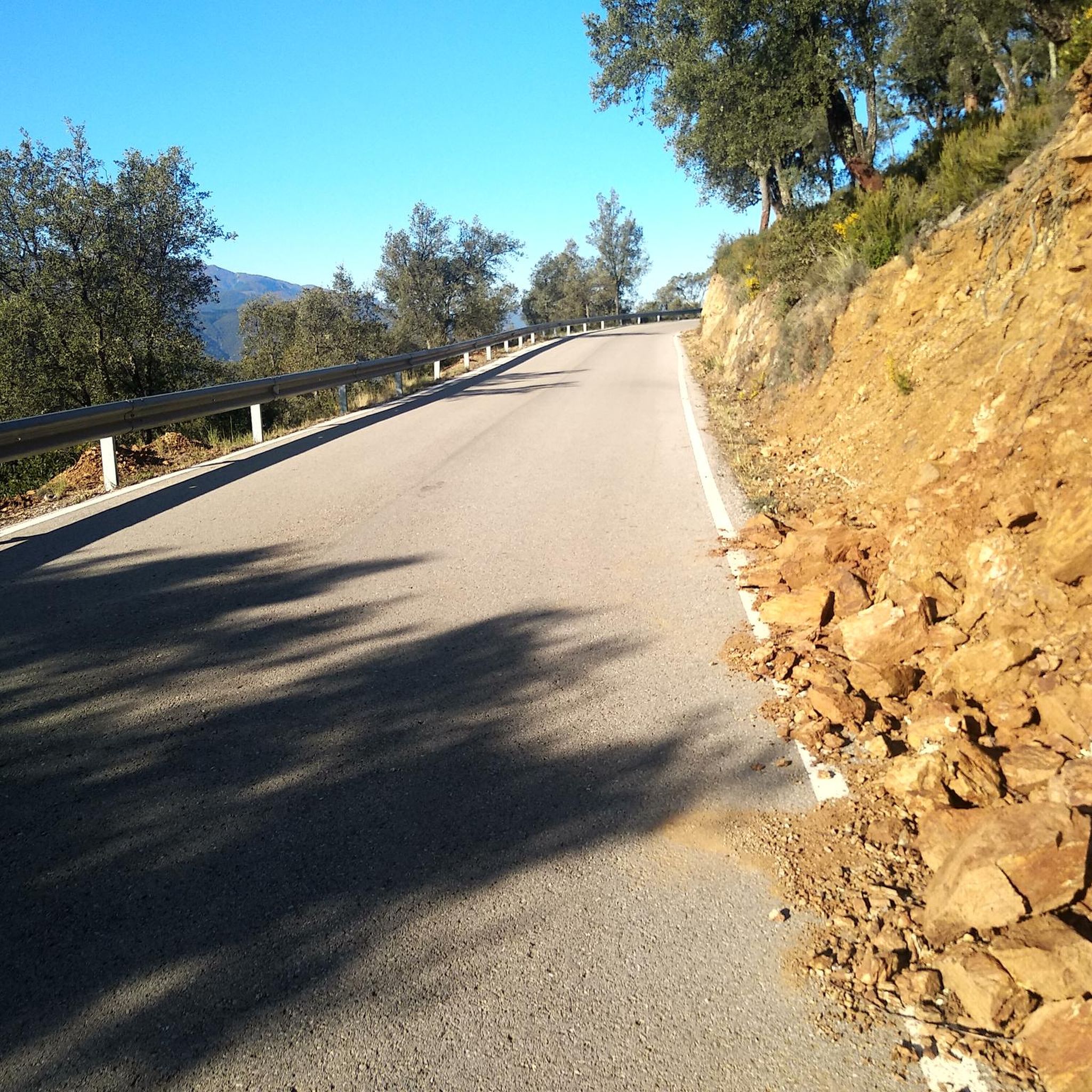



Tips from the Community

Bill Moore Community Park offers a load of public amenities including sporting fields, concessions stands, disc golf course, walking trails, picnic areas, bathrooms, and so on. There are both paved and dirt trails in the park, and the dirt trail gives access to Cane Creek.
0
0
Frequently Asked Questions
How many road cycling routes are available in Royal Pines?
Royal Pines offers a diverse selection of road cycling routes. There are 29 routes in total, catering to various skill levels.
What kind of terrain can I expect on road cycling routes around Royal Pines?
Road cycling around Royal Pines is characterized by varied terrain, including challenging mountain roads and scenic routes through valleys and near lakes. You'll encounter significant elevation changes, forested areas, open stretches, and views of the surrounding landscape.
Are there road cycling routes suitable for beginners in Royal Pines?
While many routes in Royal Pines feature challenging climbs and descents, the area primarily offers moderate to difficult routes. There are 20 moderate routes and 9 difficult routes, but no routes are specifically categorized as easy. Cyclists new to the area should be prepared for elevation changes.
Where can I find challenging road cycling routes in Royal Pines?
For a challenging ride, consider the Pisgah Highway & Blue Ridge Parkway loop, which features significant climbs over 31 miles. Another difficult option is the Walnut Cove View – View of Hominy Valley loop from Bent Creek, offering panoramic views and substantial elevation gain.
Are there any circular road cycling routes in Royal Pines?
Yes, many of the road cycling routes in Royal Pines are loops. Popular circular routes include the Pisgah Highway & Blue Ridge Parkway loop, the Walnut Cove View – View of Hominy Valley loop from Bent Creek, and the Pierce Lake – Silver Lake loop from Glen Bridge River Access.
What are the typical distances of road cycling routes in Royal Pines?
The road cycling routes in Royal Pines vary in distance, generally ranging from around 20 to 40 miles (32 to 64 km). For example, the Roadbike loop from Hoopers Creek is about 21.7 miles (35 km), while the Pretty Road – Hickory Nut Gap Summit loop from Barnhill Mountain extends to 37.6 miles (60.6 km).
What can I see or explore near the road cycling routes in Royal Pines?
While cycling, you can explore several points of interest. The Blue Ridge Parkway Visitor Center is a notable stop. You might also pass by natural features like Lake Powhatan or Hominy Creek River Park. For a botanical experience, consider the Biltmore Rose Garden.
What do other road cyclists enjoy about the routes in Royal Pines?
The road cycling routes in Royal Pines are highly rated by the komoot community, with an average score of 4.5 stars from over 8 reviews. Cyclists often praise the varied terrain, including challenging mountain roads and scenic views over areas like Hominy Valley, as well as routes through forested sections and near lakes.
What is the best time of year for road cycling in Royal Pines?
Given the region's characteristics of mountain roads and forested areas, spring and fall generally offer the most pleasant conditions for road cycling in Royal Pines. Temperatures are milder, and the scenery is particularly vibrant with spring blooms or autumn foliage. Summer can be warm, and winter may bring colder temperatures and potential for icy conditions at higher elevations.
Are there cafes or places to stop along the road cycling routes in Royal Pines?
While specific cafes directly on every route are not detailed, Royal Pines and its surrounding areas offer various towns and communities where you can find places to refuel. Planning your route with potential stops in mind, especially in larger towns, is recommended for longer rides.
What should I wear for road biking in Royal Pines?
Due to the varied terrain and elevation changes, it's advisable to wear layers that can be adjusted to changing temperatures. Performance cycling apparel that wicks moisture is recommended. Always check the local weather forecast before heading out, especially for mountain routes where conditions can change rapidly.
Most popular attractions around Royal Pines

Get inspired with the komoot mobile app


Explore more
Browse the best Road cycling routes in other regions.
