The best road cycling routes around Clayton
5.0
(4)
275
riders
9
rides
Road cycling routes around Clayton feature a landscape characterized by greenways, local parks, and natural preserves, often following river corridors like the Neuse River. The terrain is generally flat to gently rolling, with minimal elevation changes, making it suitable for various skill levels. These routes provide access to natural areas and offer a mix of paved paths and quiet roads.
Best road cycling routes around Clayton
- The most popular road cycling route is Anderson Point Park – Williamson Preserve entry…
Last updated: July 8, 2026
5.0
(2)
158
riders
48.8km
01:59
210m
210m
Easy road ride. Great for any fitness level. Mostly well-paved surfaces and easy to ride.
5.0
(1)
47
riders
28.5km
01:08
130m
130m
Easy road ride. Great for any fitness level. Mostly well-paved surfaces and easy to ride.

Sign up for free
5.0
(1)
18
riders
21.2km
00:56
110m
110m
Easy road ride. Great for any fitness level. Mostly well-paved surfaces and easy to ride.
12
riders
Easy road ride. Great for any fitness level. Mostly well-paved surfaces and easy to ride.
16
riders
74.9km
03:07
380m
380m
Moderate road ride. Good fitness required. Mostly well-paved surfaces and easy to ride.
Get access to more routes and recommendations from other explorers.
Sign up for free
Already have an account?
Our route recommendations are based on thousands of hikes, rides, and runs completed by other people on komoot.
Start today with a free account
Your next adventure awaits.
Login or Signup

Tips from the Community

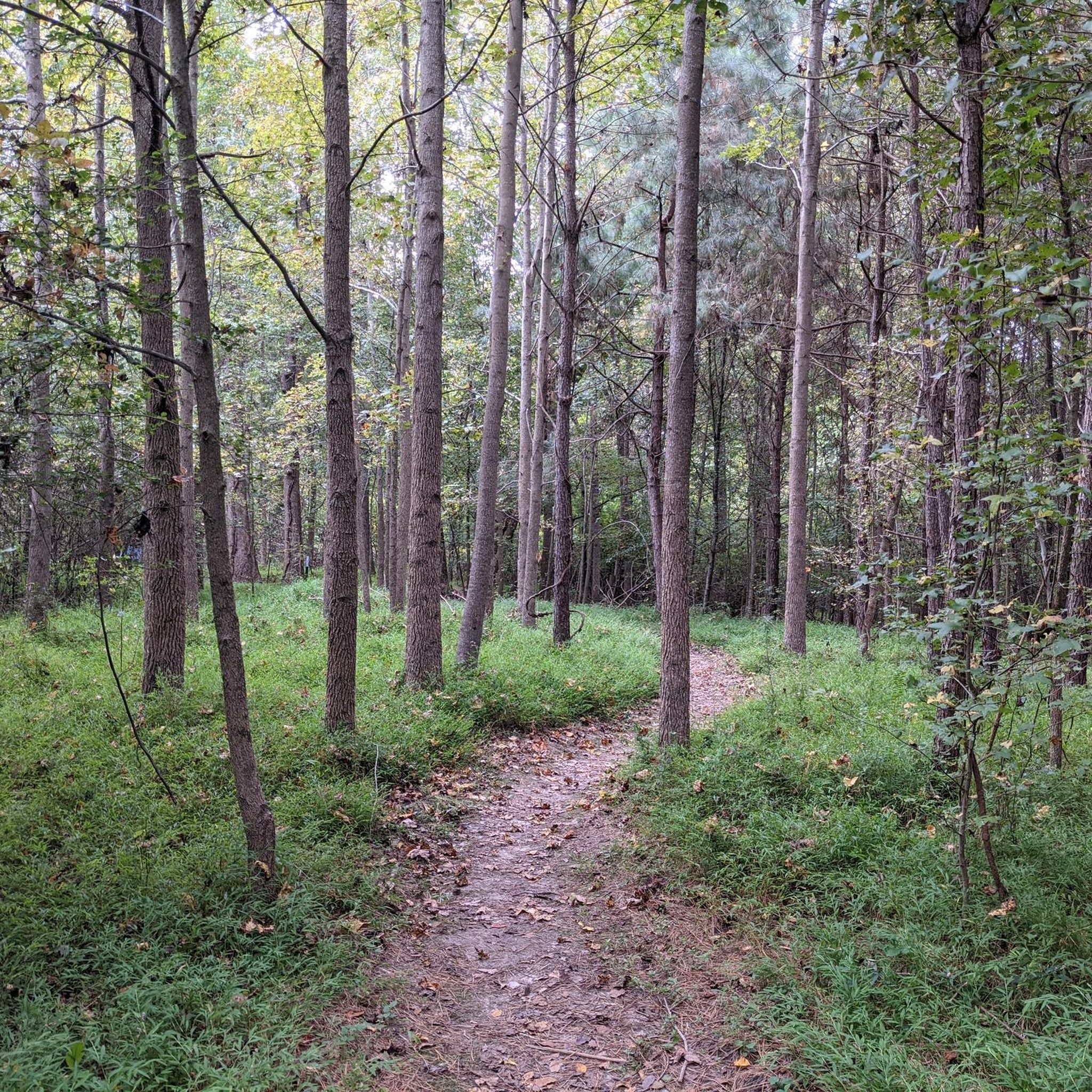
Sam's Branch Greenway Trail is a short, but beautiful multiuse trail in Clayton. The trail runs through beautiful woods and next to a creek before joining up with the Clayton River Walk.
1
0
Legend Park is a nice suburban park in Clayton. The park has a ball field, picnic area and some mountain bike trails. The Sam's Branch Greenway Trail also runs through the park.
1
0

A great place to relax and enjoy the outdoors. It features a 1937 carousel, ball fields, playgrounds, a pool & splash grounds, and more!
0
0
The Neuse River Trail is a 27-mile trail that runs through Raleigh. This section runs through Randleigh Farm and changes from woodland to open farmland and fields. The path at this point is paved and mostly flat, so it is not a challenging section of the trail to walk.
0
0
Crabtree Creek Trail is a 14.9-mile multiuse trail that follows the creek of the same name. This section of the trail winds through beautiful green spaces and several parks.
0
0

With over 520 acres of land, Crabtree Park is a pleasant park in Raleigh with a lake, gardens, and self-named trail.
0
0

Anderson Point Park is a 90-acre park that is home to the historic Anderson Family Homestead, as well as walking trails, an amphitheater, and sports fields.
0
0
At over 447 acres, the Bailey and Sarah Williamson Preserve is an idyllic sanctuary featuring lush forestry, scenic trails, meandering creeks, and diverse wildlife.
0
0
Frequently Asked Questions
What kind of terrain can I expect on road cycling routes around Clayton?
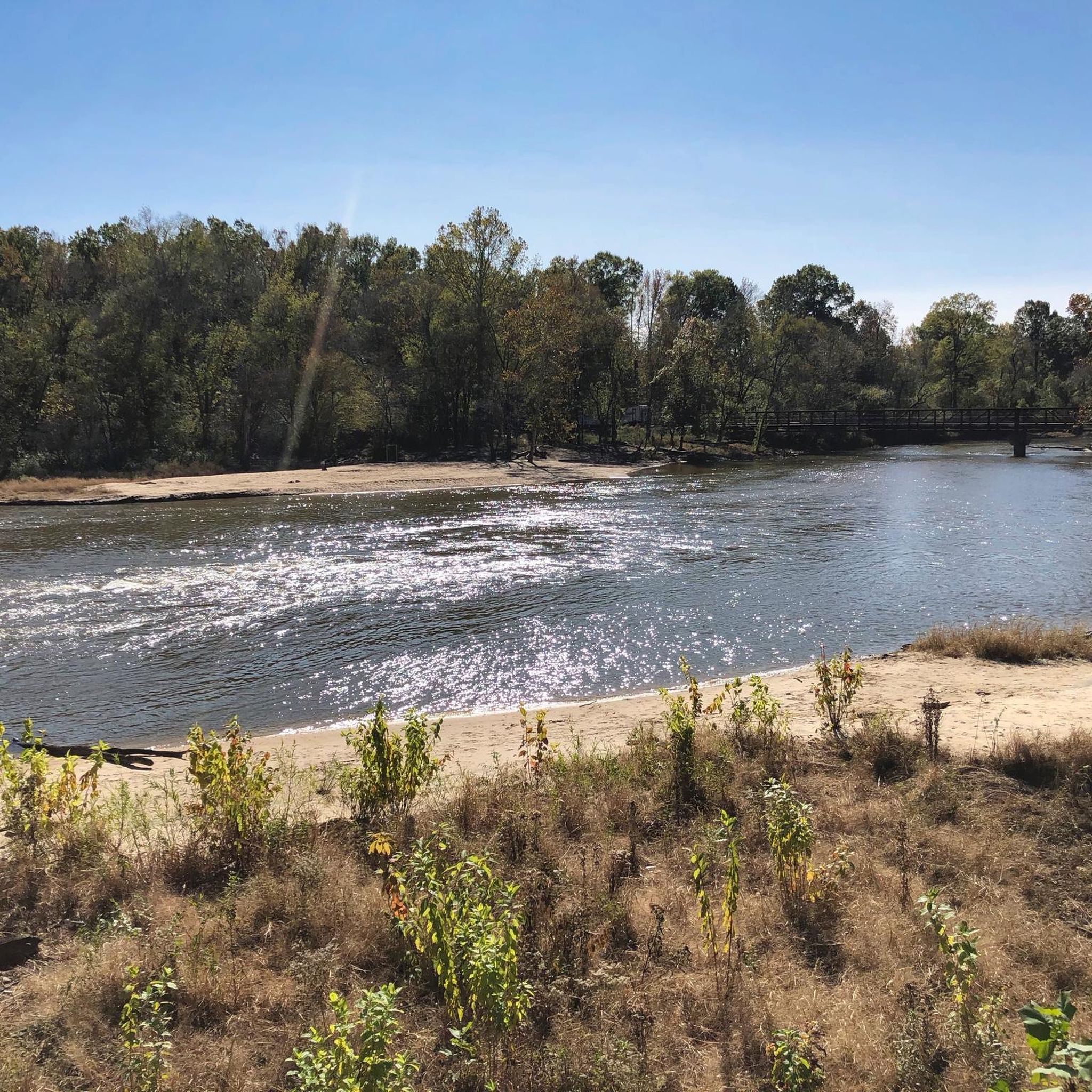
Road cycling routes in Clayton are characterized by greenways, local parks, and natural preserves, often following river corridors like the Neuse River. The terrain is generally flat to gently rolling, with minimal elevation changes, making it suitable for various skill levels.
Are there easy road cycling routes suitable for beginners or families in Clayton?
Yes, Clayton offers several easy road cycling routes perfect for beginners and families. Many routes utilize dedicated greenways, providing a safe and pleasant experience. For example, the Sam's Branch Greenway Trail – Williamson Preserve entry loop from Clayton is an easy 13.2-mile path that uses the Sam's Branch Greenway.
How long do road cycling routes in Clayton typically take to complete?
Route durations vary depending on the distance and your pace. For instance, the Anderson Point Park – Williamson Preserve entry loop from Clayton is a 31.2-mile route that typically takes around 2 hours. Shorter options like the Anderson Point Park loop from Randleigh Farm can be completed in about 35 minutes.
What are some scenic points or natural attractions I can see while road cycling in Clayton?
Many routes in Clayton offer scenic views along the Neuse River and through natural areas. You can also explore the Turnipseed Nature Preserve or ride along the Sam's Branch Greenway Trail, which provides a dedicated cycling surface through natural surroundings.
Are there any cafes or places to stop for refreshments along the road cycling routes?
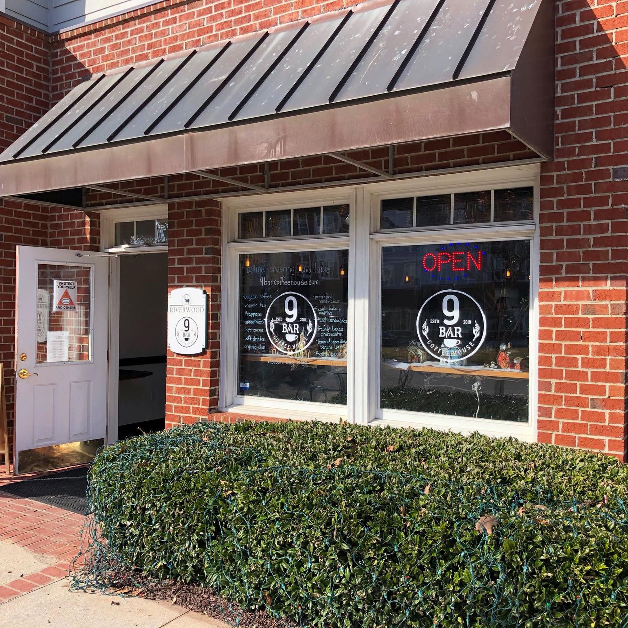
Yes, you can find places to refuel. For example, 9 Bar Coffee House and La Mexicanita Bakery are local spots where you might stop for a break and refreshments, often accessible from routes passing through or near urban areas.
What is the best time of year for road biking in Clayton?
The spring and fall months generally offer the most pleasant conditions for road biking in Clayton, with mild temperatures and lower humidity. While winters are typically mild, it's always wise to check the forecast for any colder snaps. Summers can be hot and humid, so early morning or late afternoon rides are often preferred.
Are there any loop road cycling routes available in Clayton?
Yes, many of the road cycling routes in Clayton are designed as loops, allowing you to start and end at the same point. A popular option is the Sam's Branch Greenway Trail – Legend Park loop from Clayton, which is a 32.7-mile route through greenway and park areas.
How many road cycling routes are there in Clayton?
There are over a dozen road cycling routes available around Clayton, catering to various skill levels and preferences. You'll find a good mix of easy, moderate, and even some more challenging options.
What do other road cyclists enjoy most about road cycling in Clayton?
The road cycling experience in Clayton is highly rated by the komoot community, with an average score of 5.0 stars. Reviewers often praise the well-maintained greenways, the peaceful river corridors, and the accessibility of routes that connect natural areas.
Are there any advanced road cycling trails for experienced riders in Clayton?
While many routes are easy to moderate, there are options for more experienced riders seeking longer distances or slightly more varied terrain. The Anderson Point Park – Williamson Preserve entry loop from Clayton, at over 31 miles, offers a consistent ride that can be a good workout for those looking for a longer excursion.
Is public transport available to access road cycling routes in Clayton?
Public transport options directly to specific trailheads might be limited in Clayton. It's generally recommended to drive to a suitable parking area near your chosen route's starting point. However, some routes, particularly those utilizing greenways, may be accessible from various points within the town.
Most popular attractions around Clayton

Get inspired with the komoot mobile app


Explore more
Browse the best Road cycling routes in other regions.
