The best road cycling routes around Mills River
5.0
(11)
561
riders
47
rides
Road cycling routes around Mills River, North Carolina, traverse an agricultural community nestled within the Blue Ridge Mountains. The terrain features rolling hills and picturesque river valleys, with many routes winding through the scenic French Broad River valley. Cyclists can expect mostly well-paved surfaces, with options ranging from leisurely rides to challenging excursions with significant elevation gains.
Best road cycling routes around Mills River
- The most popular road cycling route is Historic Piney Grove Cemetery loop from Mills River,…
Last updated: October 11, 2026
5.0
(1)
87
riders
72.5km
03:09
500m
500m
Moderate road ride. Good fitness required. Mostly well-paved surfaces and easy to ride.
20
riders
98.7km
05:02
1,480m
1,480m
Hard road ride. Very good fitness required. Some segments of this route may be unpaved and difficult to ride.

26
riders
92.4km
04:51
1,140m
1,140m
Hard road ride. Very good fitness required. Mostly well-paved surfaces and easy to ride.
5
riders
75.8km
03:52
1,070m
1,070m
Hard road ride. Very good fitness required. Mostly well-paved surfaces and easy to ride.
8
riders
88.2km
03:59
840m
840m
Moderate road ride. Good fitness required. Mostly well-paved surfaces and easy to ride.
Get access to more routes and recommendations from other explorers.
Already have an account?
Our route recommendations are based on thousands of hikes, rides, and runs completed by other people on komoot.
Start today with a free account
Your next adventure awaits.


Tips from the Community

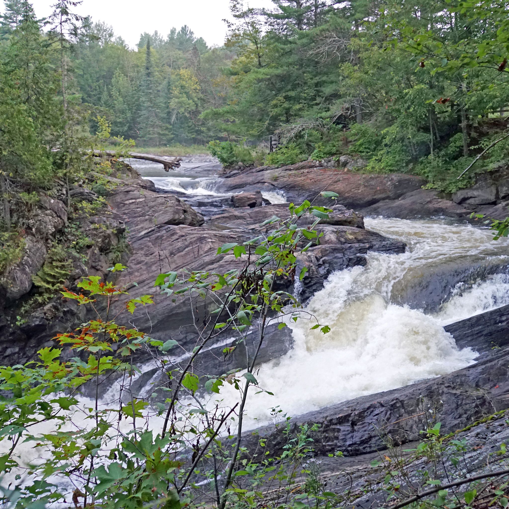
Davidson River marks the southern start of the Art Loeb Trail. It’s a good spot to filter water before the climb ahead. Expect a gradual but steady ascent as you leave the valley and head into the forested hills. This is a popular fly-fishing spot with crystal-clear waters and abundant trout, including brown, brook, and rainbow.
0
0

Piney Grove Cemetery is one of the oldest historic cemeteries in Western North Carolina. Situated on the grounds of the First Presbyterian Church established in 1794, it is the final resting place for several prominent families, such as the Davidson's, Patton's, Alexander's, Connelly's, Stepp's, and Burnett's. All of whom played important roles in the area's history. Additionally, it is the burial site for veterans from various conflicts, including the Revolutionary War, the War of 1812, the Civil War, and more recent military engagements.
0
0

The summit of Hickory Nut Gap sits on the Eastern Continental Divide at 2,880 feet (878m). The road is lined with trees, offering some much-appreciated shade in the summer. A few yards south is the Strawberry Gap Trailhead Parking which is popular with hikers. This is the closest parking area to the summit if you want to pull up and wait for your riding buddies or just have a rest. You will have to go a little further towards Chimney Rock or to Fairview to find any stores or restaurants.
0
0

Step off the bike and take the turn off of the main road to find the Looking Glass Falls Viewpoint. Looking Glass Falls is the perfect quick pit-stop for everyone since it is practically right next to the parking lot. The accessibility to the falls viewing area was kept in mind during designing so that anyone would be able to view the beautiful scene; keep in mind that there are steps leading to the upper viewing platform.
0
0
At Milepost 399.7 on the Blue Ridge Parkway, Bad Fork Valley Overlook offers a pull-off parking area to take in the overlook. This is a popular area to see hikers since there are so many trails around here.
0
0
At Milepost 404.5 on the Blue Ridge Parkway, the Mills River Valley Overlook is the first of many close by scenic overlooks when heading north. There are actually viewing areas of the valley on both sides of the parkway, and there is hiking trail access at this pull-off, making it a really popular stop for a lot of parkway visitors.
0
0
Hominy Valley View is located at Milepost 404.2 on the Blue Ridge Parkway. There are several rows of mountains running parallel to the viewpoint, and you can see just how far back the mountains stretched from up here at 2,400 feet.
0
0
Big Ridge Overlook is located at Milepost 403.6 on the Blue Ridge Parkway. It's nestled in the trees overlooking a wide valley to the southeast. It shows off a few different rows of mountains and offers trail access to the Mountains-to-Sea Trail.
0
0
Frequently Asked Questions
What kind of terrain and difficulty can I expect on road cycling routes in Mills River?
Mills River offers a diverse range of road cycling routes, from easy to difficult. You'll find mostly well-paved surfaces winding through rolling hills and picturesque river valleys, particularly in the scenic French Broad River valley. Routes can range from under two hours with around 1,000 feet of elevation gain, suitable for any fitness level, to over five hours with more than 3,000 feet of elevation, requiring very good fitness. For example, the Trailside Brewery & Cafe loop from Horse Shoe is an easy ride with minimal elevation, while the Graveyard Fields Overlook – Looking Glass Falls loop from Boylston Creek Church presents a significant challenge with over 2,000 meters of ascent.
Are there any family-friendly road cycling options in Mills River?
Yes, Mills River offers options suitable for families. While many routes are on country roads, the proposed Mills River Valley Trail aims to create a safe route for walking and biking alongside NC 280. Additionally, Mills River Park features 1.25 miles of paved multi-use trails that are perfect for family biking. For a shorter, easier road cycling experience, consider routes with less elevation gain.
What are some scenic viewpoints or landmarks I can see while road cycling in Mills River?
Road cycling in Mills River offers numerous scenic opportunities, especially through the French Broad River valley with views of mountains and pastures. You can also find several overlooks nearby that provide stunning vistas. Consider visiting Chestnut Cove Overlook or Bad Fork Valley Overlook for panoramic views. The region is also home to natural features like Lake Powhatan and Twin Falls (Pisgah National Forest), which can be incorporated into longer rides or visited as side trips.
When is the best time of year for road cycling in Mills River?
Mills River, nestled in the Blue Ridge Mountains, offers pleasant road cycling conditions through much of the year. Spring and fall are particularly popular due to moderate temperatures and vibrant foliage. Summer can be warm, but many routes offer shade. Winter conditions can vary; while some days might be mild, others may bring colder temperatures or even snow, especially at higher elevations. Always check local weather forecasts before heading out.
Are there any circular road cycling routes in Mills River?
Yes, many of the road cycling routes in Mills River are designed as loops, allowing you to start and end at the same point without retracing your path. A popular example is the Historic Piney Grove Cemetery loop from Mills River, which offers a moderate ride through agricultural landscapes. Another option is the longer Piney Grove Cemetery – South Country Club Road loop from Horse Shoe River Access, exploring country roads and river valleys.
Where can I find parking for road cycling routes in Mills River?
Specific parking information varies by route. Many routes start from accessible points within Mills River or nearby towns like Horse Shoe, where public parking might be available. For routes originating near parks or trailheads, designated parking areas are often provided. Always check the route details on komoot for suggested starting points and parking availability.
What do other road cyclists enjoy most about road cycling in Mills River?
The road cycling routes in Mills River are highly rated by the komoot community, with an average score of 4.3 stars. Cyclists frequently praise the beautiful agricultural landscapes, the scenic French Broad River valley, and the variety of routes that cater to different fitness levels. The blend of rolling hills and picturesque views makes for a rewarding experience.
Are there cafes or places to stop for refreshments along the road cycling routes?
While many routes traverse rural areas, you can find refreshment stops, especially near the start/end points or in nearby communities. For instance, the Trailside Brewery & Cafe loop from Horse Shoe explicitly mentions a brewery and cafe, indicating opportunities for a break. It's always a good idea to plan your route and check for amenities in advance, especially on longer rides.
How many road cycling routes are available in the Mills River area?
There are over 40 road cycling routes available around Mills River, offering a wide range of distances and difficulties. This includes 3 easy routes, 24 moderate routes, and 13 difficult routes, ensuring options for every skill level.
Are there any challenging road cycling routes with significant climbs in Mills River?
Yes, for experienced cyclists seeking a challenge, Mills River offers routes with significant elevation gains. The region's location within the Blue Ridge Mountains means you can find demanding climbs. An example of a difficult route is the Mills River Valley Overlook – View of Hominy Valley loop from Horse Shoe River Access, which features over 1,400 meters of ascent.
Can I combine road cycling with other activities in Mills River?
Absolutely! Mills River is a hub for outdoor activities. After a road ride, you could explore the nearby Pisgah National Forest for hiking, or visit the North Mills River Recreation Area for fishing or kayaking. For those interested in other bike-related activities, The Riveter in Mills River offers a progressive bike park and a climbing gym, fostering a community around adventure fitness. You can also find more general information about activities in the area at visitmillsriver.com.
Most popular attractions around Mills River

Get inspired with the komoot mobile app


Explore more
Browse the best Road cycling routes in other regions.
