The 20 Most Amazing Peaks around Tharandt
Best mountain peaks around Tharandt are found within the scenic Tharandt Forest, a landscape characterized by rolling hills and elevated points. These prominent elevations provide picturesque views and interesting geological features, making them significant for hiking and nature exploration. The area is renowned for its geological diversity, including traces of ancient volcanic eruptions and unique rock formations. The Tharandt Forest, encompassing these elevated points, is recognized for its rich history and numerous well-marked hiking trails.
Best mountain peaks around Tharandt
…Last updated: October 9, 2026
Kaitzer Heights
Highlight • Viewpoint
Translated by Google •
Tip by

Gohlig Triangulation Pillar
Highlight • Monument
Translated by Google •
Tip by

Sign up now to discover places like this
Get recommendations on the best single tracks, peaks, & plenty of other exciting outdoor places.
Götzenbusch Geological Monument
Highlight • Natural Monument
-Tropical red loams, which were formed by weathering of the gray gneiss and have …
Translated by Google •
Tip by

Historic Baeyerhöhe Triangulation Pillar
Highlight • Monument
Translated by Google •
Tip by

Kienberg Viewpoint (355 m)
Highlight • Viewpoint
Translated by Google •
Tip by

Sign up for free to discover even more peaks around Tharandt.
Already have an account?
Start today with a free account
Your next adventure awaits.
Popular around Tharandt
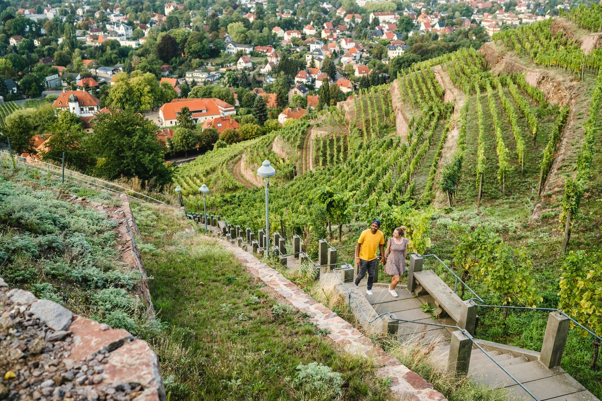
Great places closer to home – nature and fun in the Dresden Elbland
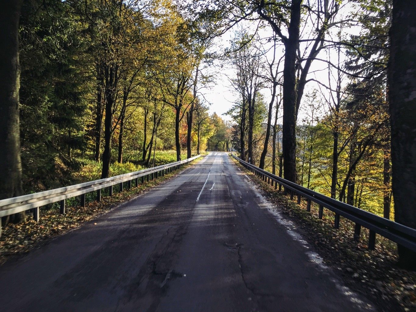
Weekend tours in the Ore Mountains

Wandertouren - Eisenbahn & Wanderstock
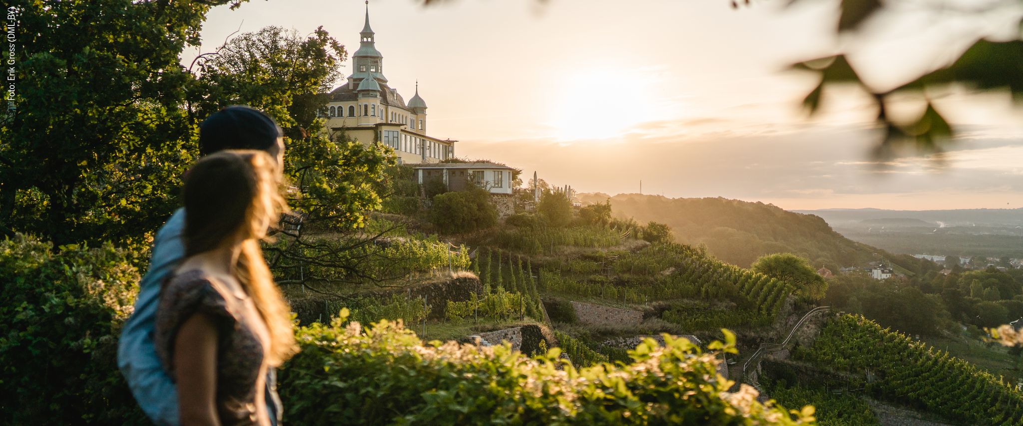
Natur entdecken – 10 Wandertouren abseits der Hauptpfade im Dresden Elbland
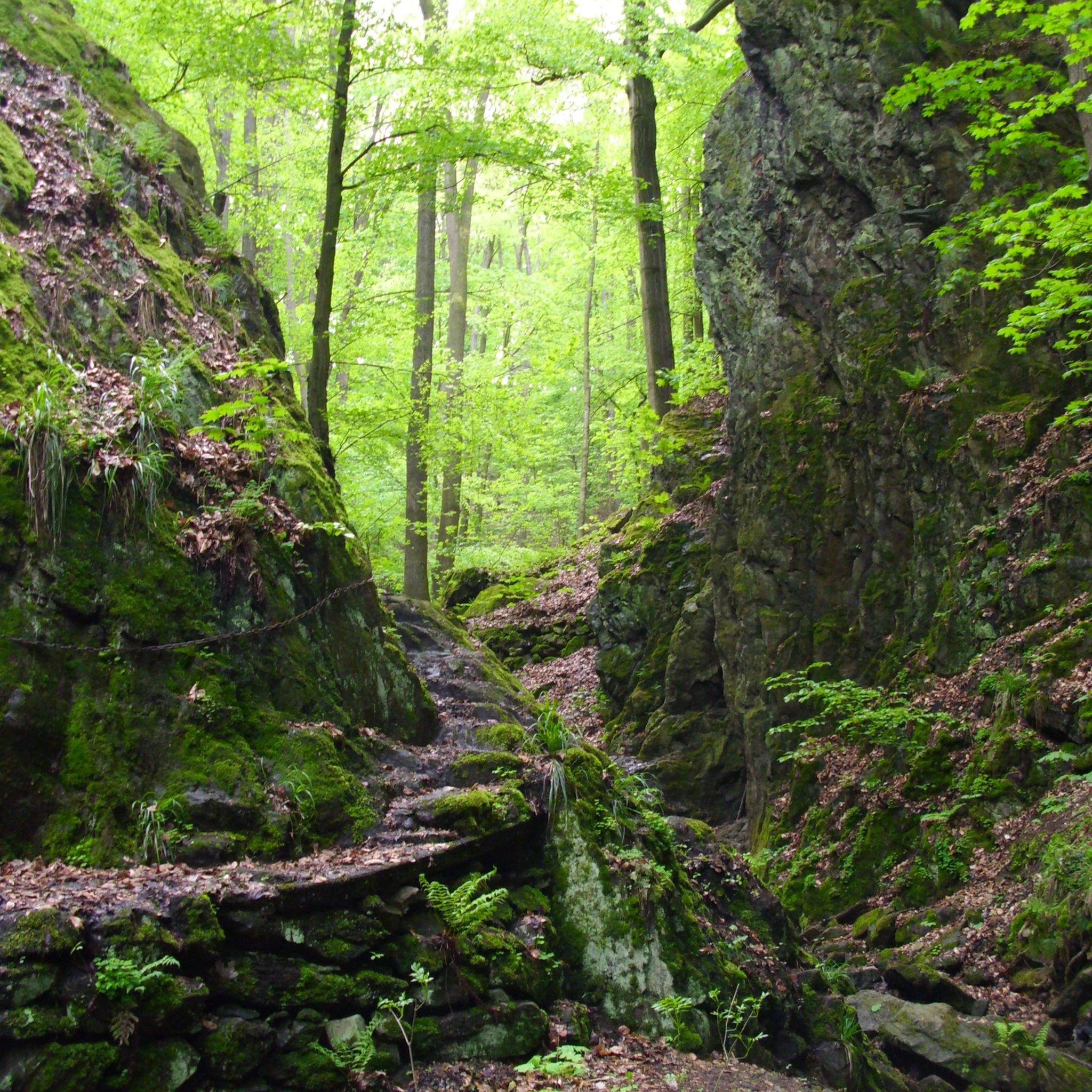
Hiking around Tharandt
Cycling around Tharandt
MTB Trails around Tharandt
Running Trails around Tharandt
Road Cycling Routes around Tharandt
Gravel biking around Tharandt
Other adventures around Tharandt


Tips from the Community

It's just incredibly beautiful here 😊.
0
1

Beautiful view, especially when the rapeseed is in bloom, highly recommended.
2
0

The Bayerhöhe is located on the Baltic Sea - Saale Dam long-distance hiking trail.
1
0

with a view of Dresden, several hiking trails
4
1
Erected in 1865, made of sandstone, techn. monument
3
0

"The Götzenbüschchen (also: Götzenbusch) is a wooded hill near Oelsa in the Eastern Ore Mountains. The area consists of sandstone from the Cretaceous period and is under state protection as a natural monument because of its special geology." - https://de.wikipedia.org/wiki/G%C3%B6tzenb%C3%BCschchen A fine, small trail leads along the edge of the field. It also offers a beautiful view over the Weisseritz Valley.
2
1

The Royal Saxon Triangulation was a large-scale surveying project carried out in the Kingdom of Saxony between 1862 and 1902. The aim was to measure the country precisely and determine geographic coordinates in order to create better maps. The survey covered numerous points throughout the kingdom and 36 1st order and 122 2nd order triangulation pillars were erected, including the triangulation pillar on the Gohilg. The survey results formed the basis for the creation of the first topographical map of the Kingdom of Saxony.
4
0

"Götzenbüschchen" natural monument Dresden-Elbland 350 m On the ridge between Roter Weisseritz and Oelsabach, a copse is home to a natural monument ("geotope") that has long been known to geologists. Here is a remnant of the sandstone cover from the Cretaceous, which overlays the Ore Mountain gneiss. The special feature of this outcrop is that part of the soil formation at that time was covered by the sedimentation in the Cretaceous period and was therefore preserved. In the Cretaceous period, the climate was tropical, and this is how so-called red earth could develop, which got its red color from bivalent iron oxides. These soils are also widespread in today's tropics. This fossil soil horizon is only exposed on a very small scale, since it is either still covered or has already been removed. On the other hand, the thin-plate, also deeply weathered gneiss with a striking violet-red color is clearly visible.
3
1
Frequently Asked Questions
What are the most popular elevated points and viewpoints around Tharandt?
The region around Tharandt, nestled within the scenic Tharandt Forest, offers several popular elevated points and viewpoints. Among them, Kaitzer Heights is a favorite, providing extensive views over the south of Dresden, the Elbe slopes, and the Elbe Sandstone Mountains. Another highly regarded spot is the Kienberg Viewpoint (355 m), known for its beautiful forest setting and suitability for watching the sunset.
Are there any unique geological features to explore near Tharandt?
Yes, the Tharandt Forest is renowned for its geological diversity. A significant site is the Götzenbusch Geological Monument, where you can observe unique geological formations. These include tropical red loams and Cretaceous sea deposits containing fossils, which are considered rare in Europe. The area is also associated with ancient volcanic eruptions, adding to its geological interest.
What historical landmarks can I find on the elevated points around Tharandt?
The region features several historical landmarks, particularly related to surveying. The Gohlig Triangulation Pillar, erected in 1865, is a man-made monument that served as a key point in the Royal Saxon Triangulation project. Similarly, the Historic Baeyerhöhe Triangulation Pillar, at 320.5 meters, was a central station in this 19th-century surveying network and offers magnificent panoramic views of the Meißner Land.
Are there family-friendly elevated points or trails in the Tharandt area?
Yes, several elevated points and their surrounding trails are suitable for families. The Kaitzer Heights is easily accessible via well-developed paths, making it a good option. The Kienberg Viewpoint (355 m) is also considered family-friendly, though it might not be suitable for strollers. The Tharandt Forest itself has numerous well-marked hiking trails that cater to various difficulty levels.
What kind of outdoor activities can I do near the elevated points of Tharandt?
The Tharandt region offers a variety of outdoor activities. You can explore numerous hiking trails throughout the Tharandt Forest, which encompasses these elevated points. For cycling enthusiasts, there are dedicated guides for MTB Trails around Tharandt, Gravel biking around Tharandt, and general Cycling around Tharandt, providing routes of varying distances and difficulties.
What makes the Tharandt Forest unique for nature exploration?
The Tharandt Forest, often called 'Saxony's most beautiful forest,' is unique for its rich biodiversity and geological significance. It features a diverse landscape of rolling hills and elevated points, with traces of ancient volcanic eruptions and sea floods. The forest is home to approximately 2,000 different tree species within the Forstbotanischer Garten Tharandt, including a large North America section, making it a fascinating area for studying flora and geology.
Are there any specific trails or routes that highlight the geological features of the Tharandt Forest?
Yes, the Tharandt Forest offers themed routes focusing on geology. For instance, a circular route through the Tharandt Forest from Kurort Hartha passes by the basalt quarry at Ascherhübel, which is a geotope. The Götzenbusch Geological Monument is another key site for observing unique geological formations, including tropical red loams and Cretaceous sea deposits.
What is the 'Rocky Mountains' in the Tharandt Forest Botanical Garden?
The 'Rocky Mountains' within the Forstbotanischer Garten Tharandt are not actual mountains but distinctive rock formations and viewpoints. They are considered a highlight, especially for children, offering excellent views over Tharandt and the botanical garden itself. Stone benches hidden among the granite blocks provide resting spots, making it a scenic and engaging area to explore.
What do visitors appreciate most about the elevated points around Tharandt?
Visitors particularly enjoy the extensive views offered by many of the elevated points, such as the panoramic vistas from Kaitzer Heights and the Historic Baeyerhöhe Triangulation Pillar. The well-developed paths and the serene forest environment are also highly valued, providing an idyllic recreational area. The unique geological features and historical significance of sites like the Götzenbusch Geological Monument also draw significant interest.
Can I find information about the history of the Tharandt Forest while exploring its elevated points?
Yes, the Tharandt Forest has a rich history as a hunting ground, a source of timber, and later as a place of recreation. Historical paths, including sections of the Saxon Way of St. James, traverse the forest. Additionally, sites like the Gohlig Triangulation Pillar and the Historic Baeyerhöhe Triangulation Pillar offer insights into 19th-century surveying projects that shaped the region's understanding.
Are there any specific recommendations for enjoying the views at sunset?
The Kienberg Viewpoint (355 m) is highly recommended for watching the sunset. Its location within the forest provides a beautiful backdrop for evening views. Remember to bring light for your return journey if you plan to stay until after dark.
Most popular routes around Tharandt
Most popular attractions around Tharandt

Get inspired with the komoot mobile app


Explore more
See even more amazing summits around Tharandt with these guides:
