The best road cycling routes around Nags Head
4.0
(2)
132
riders
10
rides
Road cycling routes around Nags Head offer flat terrain ideal for long-distance rides along the Outer Banks. The region is characterized by coastal roads, scenic bay views, and stretches near natural preserves. With minimal elevation changes, the area provides accessible cycling for various skill levels.
Best road cycling routes around Nags Head
- The most popular road cycling route is Roadbike loop from Kill Devil Hills, a 25.4 miles (40.8 km) trail that takes 1 hour 48 minutes to complete.…
Last updated: July 8, 2026
4.0
(1)
46
riders
45.9km
01:54
20m
20m
Moderate road ride. Great for any fitness level. Some segments of this route may be unpaved and difficult to ride.
4.8
(6)
48
riders
46.4km
01:55
60m
60m
Easy road ride. Great for any fitness level. Mostly well-paved surfaces and easy to ride.

Sign up for free
18
riders
30.8km
01:27
40m
40m
Easy road ride. Great for any fitness level. Mostly well-paved surfaces and easy to ride.
23
riders
Moderate road ride. Good fitness required. Mostly well-paved surfaces and easy to ride.
4.0
(1)
10
riders
39.8km
01:49
20m
20m
Easy road ride. Great for any fitness level. Mostly well-paved surfaces and easy to ride.
Get access to more routes and recommendations from other explorers.
Sign up for free
Already have an account?
Our route recommendations are based on thousands of hikes, rides, and runs completed by other people on komoot.
Start today with a free account
Your next adventure awaits.
Login or Signup
Popular around Nags Head


Tips from the Community

This was the hill from which the experiments were made
0
0

Here there is a wooden boardwalk leading down to Pine Island Beach. Pine Island Beach is a long sandy beach that runs north-south on Pine Island.
0
0

You can see it, but you don't have to. But pure nostalgia, since the first flight supposedly took place here.
0
0

At the top of Kill Devil Hills in North Carolina is the Wright Brothers National Memorial. Dominated by a 60-foot granite pylon, the memorial includes a visitor center with exhibits detailing the brothers' aviation experiments, a replica of the 1903 Wright Flyer, and markers indicating the takeoff and landing points of their historic flights. Managed by the National Park Service, the site stands near where the Wright brothers conducted their pioneering aviation experiments, offering visitors a glimpse into the birth of modern aviation and the lasting impact of the brothers' innovative spirit.
0
0
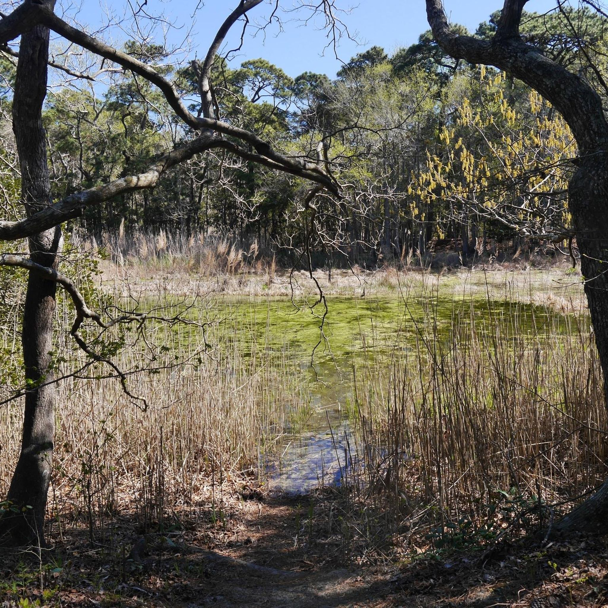
The Pine Island Audubon Sanctuary is off of North Carolina Highway 2, on the famous North Carolina Outer Banks. It is a popular walking and kayaking spot in this truly spectacular part of the country.
0
0
Definitely visit. A small footpath leads to a small viewing platform.
0
0
Very nice for short hikes.
0
0

Beautiful area to stretch your feet, the lighthouse looks really nice too <3
0
0
Frequently Asked Questions
Are there many easy road cycling routes in Nags Head?
Yes, Nags Head is well-suited for easy road cycling. The region is characterized by flat terrain and minimal elevation changes, making most routes accessible for various skill levels, including beginners. For example, the Roadbike loop from Kill Devil Hills is an easy 25.4-mile ride with coastal views.
What are the typical distances and elevation gains for road cycling routes in Nags Head?
Road cycling routes in Nags Head are predominantly flat, with very low elevation gains. Distances for popular loops often range from 25 to 30 miles. For instance, the Billys Woods loop from TownePlace Suites covers 27.3 miles with negligible elevation.
Are there any challenging road cycling routes in Nags Head?
The road cycling in Nags Head is primarily known for its flat, coastal terrain, making most routes easy to moderate. There are no routes classified as 'difficult' in the area, so if you're looking for significant climbs, this region might not be your primary choice.
What is the best time of year for road biking in Nags Head?
The Outer Banks, including Nags Head, generally offers pleasant cycling conditions during the spring and fall. These seasons provide milder temperatures and fewer crowds compared to the peak summer months, making for a more comfortable riding experience.
What kind of scenery can I expect on Nags Head road cycling routes?
You can expect diverse coastal scenery, including scenic bay views, stretches near natural preserves, and open roads. Routes like the Bay Drive Cycle path loop from Nags Head Woods Preserve offer beautiful coastal landscapes.
Are there any loop trails for road cycling in Nags Head?
Yes, many road cycling routes in Nags Head are designed as loops. Examples include the Roadbike loop from Kill Devil Hills and the Bay Drive Cycle path loop from Little Penguin Island, providing convenient circular rides.
What do other road cyclists enjoy most about road cycling in Nags Head?
The komoot community rates the road cycling routes in Nags Head highly, with an average score of 4.3 stars. Cyclists often praise the flat coastal paths, scenic bay views, and the accessibility of routes near natural preserves, making for enjoyable and relaxed rides.
What attractions can I see along the road cycling routes in Nags Head?
While cycling, you can explore several points of interest. The Bay Drive Cycle path loop from Wright Brothers National Memorial passes near the historic Wright Brothers National Memorial. Other nearby attractions include Jockey’s Ridge State Park, known for its massive sand dunes.
Are there less crowded road bike routes available in Nags Head?
While specific crowd levels vary, routes that venture slightly away from the main tourist hubs or those that pass through natural preserves, such as the Bay Drive Cycle path loop from Nags Head Woods Preserve, may offer a more tranquil experience, especially during off-peak seasons.
How many road cycling routes are available around Nags Head?
There are several road cycling routes around Nags Head to explore. The komoot guide features 7 distinct routes, offering a variety of options for different preferences and distances.
Are there any routes that offer a mix of open road and wooded areas?
Yes, some routes provide a blend of scenery. The Billys Woods loop from TownePlace Suites, for example, offers a mix of open road sections and areas near wooded preserves, providing a varied cycling experience.
Most popular routes around Nags Head
Most popular attractions around Nags Head

Get inspired with the komoot mobile app


Explore more
Browse the best Road cycling routes in other regions.
