The best walks and hikes around Rolesville
5.0
(4)
148
hikers
25
hikes
Hiking around Rolesville, North Carolina, features an expanding greenway system and local parks that connect to broader regional trails. The terrain primarily consists of wooded waterways, parkland, and areas influenced by the unique Rolesville Diorite Batholith, a large granite formation visible at Mitchell Mill State Natural Area. This network provides varied routes for walking, jogging, and hiking, often linking neighborhoods and natural areas. The region offers a mix of easy paths within town parks and longer trails connecting to larger greenway systems.
Best hiking trails around Rolesville
- The most popular hiking route is E. Carroll Joyner Park loop, a 2.0 miles (3.3 km) trail that takes 51 minutes to complete. This easy route leads through parkland.
- Another top favourite among local hikers is Neuse River Trail from Horseshoe Farm, an easy 4.2 miles (6.8 km) path. This trail follows a section of the Neuse River.
- Local hikers also love the Sanford, Smith, and Dunn Creeks Greenway, a 4.4 miles (7.1 km) trail leading through greenway corridors, often completed in about 1 hour 49 minutes.
- Hiking around Rolesville is defined by its extensive greenway system, local parks, and wooded waterways. The network offers options for different ability levels, from leisurely strolls to moderate hikes.
- The routes in Rolesville are highly rated by the komoot community with an average score of 5.0 stars from over 4 reviews. More than 120 hikers have used komoot to explore Rolesville's varied terrain.
Last updated: June 26, 2026
6.85km
01:44
10m
20m
Easy hike. Great for any fitness level. Easily-accessible paths. Suitable for all skill levels.
7.13km
01:50
30m
30m
Easy hike. Great for any fitness level. Easily-accessible paths. Suitable for all skill levels.

Sign up for free
5.77km
01:31
40m
60m
Easy hike. Great for any fitness level. Easily-accessible paths. Suitable for all skill levels.
86.3km
22:00
270m
280m
Hard hike. Very good fitness required. Easily-accessible paths. Suitable for all skill levels.
8
hikers
3.27km
00:51
20m
30m
Easy hike. Great for any fitness level. Easily-accessible paths. Suitable for all skill levels.
Get access to more routes and recommendations from other explorers.
Sign up for free
Already have an account?
Our route recommendations are based on thousands of hikes, rides, and runs completed by other people on komoot.
Start today with a free account
Your next adventure awaits.
Login or Signup
Popular around Rolesville


Tips from the Community

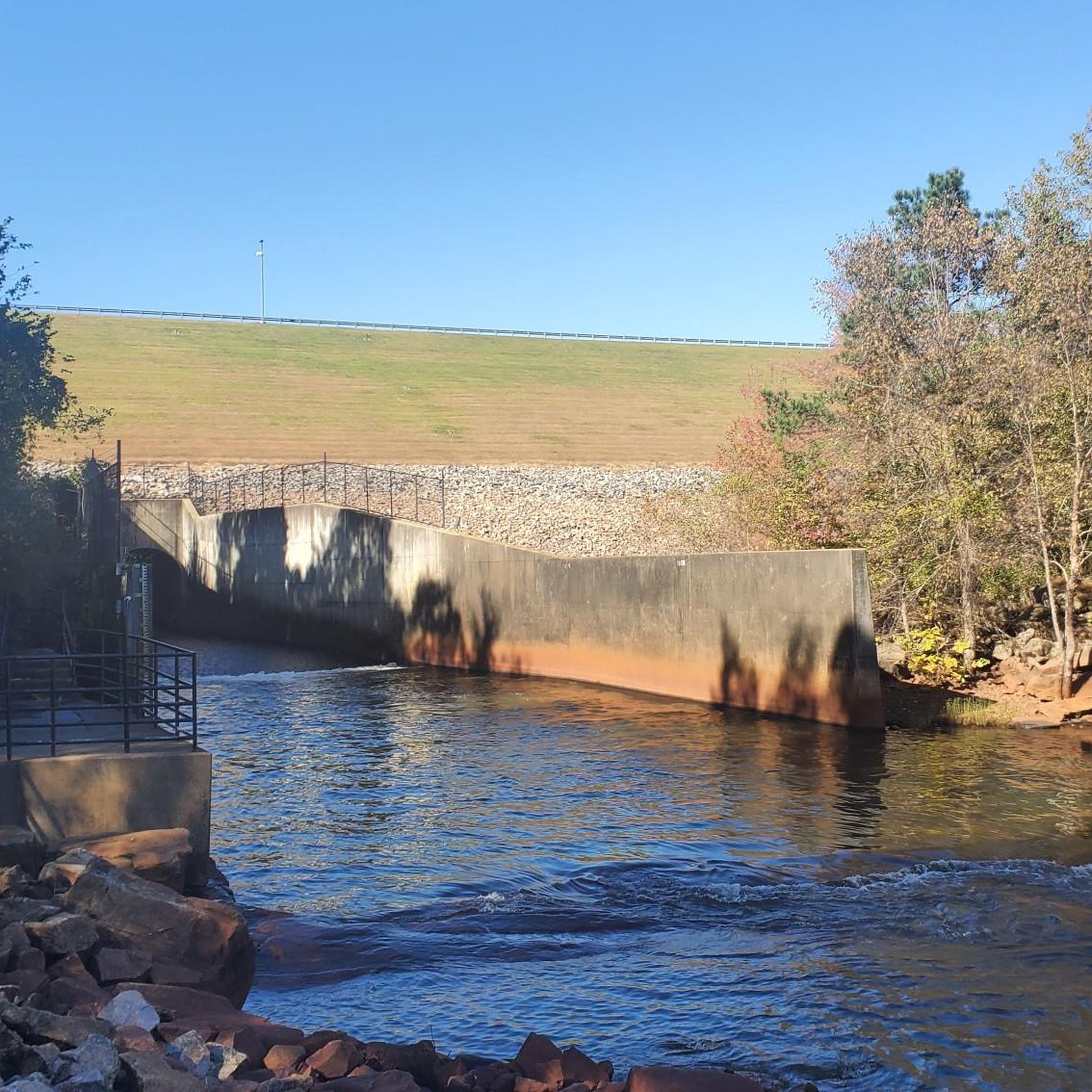
This was the site of the Milburnie Dam, which was built on centuries old mills and dams. Now, it has been removed and this section of the Neuse River is being cleaned up. There is an overlook spot that gives you a great view of the river.
1
0

This is one of two suspension bridges that span the Neuse River. The bridge is 275 feet long and has two 45-foot-tall steel towers.
0
0
Anderson Point Park is a 90-acre park that is home to the historic Anderson Family Homestead, as well as walking trails, an amphitheater, and sports fields.
0
0

E. Carroll Joyner Park, located in Wake Forest, is a scenic 117-acre park known for its nice landscape and diverse recreational offerings. The park features walking trails, a large pond, and open green spaces. Enjoy the park while hiking through the park's gardens, bridges and pecan grove.
0
0

Scenic overlook of the Neuse River from the sight of the former Milburnie Dam. Raleigh Beach is also located on the river at this location.
0
0

It's a great place to take a break and get a view of the river.
0
0
Frequently Asked Questions
How many hiking trails are available around Rolesville?
Rolesville offers a network of over 10 hiking and walking trails, ranging from easy strolls to more moderate paths. The area is known for its expanding greenway system and local parks, providing diverse options for outdoor enthusiasts.
Are there easy hiking options suitable for beginners or families in Rolesville?
Yes, Rolesville has several easy trails perfect for beginners and families. For instance, the E. Carroll Joyner Park loop — Wake Forest is a gentle 2.0-mile path through parkland. Many of the town's greenways and local parks, like Main Street Park, also offer accessible and pleasant walking experiences.
What kind of natural features or landmarks can I expect to see on hikes near Rolesville?
Hikers around Rolesville can explore a variety of natural features. You'll find scenic views of Falls Lake, particularly along routes like the Shoreline Trail loop from Forest Ridge Park. The region also features wooded waterways, and the unique geological formation of the Rolesville Batholith, a large granite dome, is nearby at Mitchell Mill State Natural Area. You can also discover highlights such as the Skycrest Suspension Bridge and the Wake Forest Reservoir.
Are there any trails with waterfalls in the Rolesville area?
Yes, the Mill Bridge Nature Park, a significant local attraction, features small waterfalls along its walking trails. This park also connects to the wider Wake Forest greenway system, offering a scenic natural escape with wooded waterways.
Are the hiking trails in Rolesville dog-friendly?
Many of the greenways and park trails in Rolesville are dog-friendly, provided pets are kept on a leash. It's always a good idea to check specific park regulations before heading out, but generally, the extensive greenway system welcomes leashed dogs.
What is the best time of year to go hiking around Rolesville?
The spring and fall seasons are generally ideal for hiking in Rolesville, offering pleasant temperatures and beautiful scenery. Fall brings vibrant foliage, while spring showcases blooming flora. Summer can be warm and humid, so early mornings or late afternoons are preferable, and winter offers milder conditions compared to northern climates, making it suitable for year-round hiking.
Are there any circular or loop trails available?
Yes, Rolesville and its surrounding areas offer several loop trails. The Shoreline Trail loop from Forest Ridge Park — Falls Lake is a popular option, providing a complete circuit with lake views. Another example is the Wake Forest Reservoir loop, offering a scenic walk around the water body.
What do other hikers enjoy most about hiking in Rolesville?
The hiking experiences around Rolesville are highly rated by the komoot community, with an average score of 5.0 stars. Hikers often praise the well-maintained greenway system, the peaceful natural settings, and the variety of trails that connect local parks and natural areas, making it easy to find a route suitable for any mood or fitness level.
Is parking readily available at trailheads in Rolesville?
Yes, parking is generally available at the various parks and greenway access points throughout Rolesville. For example, parks like Mill Bridge Nature Park and Main Street Park offer dedicated parking facilities, making it convenient to access the trails.
Can I access regional trails like the Neuse River Greenway from Rolesville?
Rolesville's greenway system is designed to connect with broader regional networks. You can access parts of the Neuse River Greenway Trail, which is a significant regional trail offering extensive hiking and biking opportunities. The Neuse River Trail from Falls Lake Dam to Falls River Bridge is one such route that connects to this larger system.
Are there any challenging hikes near Rolesville for experienced hikers?
While many trails in Rolesville are easy to moderate, the region's connectivity to larger greenway systems allows for longer and more challenging experiences. For instance, the Falls Lake Trail from Falls Lake Visitor Assistance Center offers a moderate 5.8-mile path, and exploring extended sections of the Neuse River Greenway can provide a more strenuous outing.
Where can I find more information about Rolesville's greenway system?
Rolesville is committed to its greenway expansion. You can find detailed information and an interactive map of the town's greenway and sidepath systems on the official Rolesville website. For specific details, visit rolesvillenc.gov/greenways or explore their interactive greenway map.
Most popular attractions around Rolesville

Get inspired with the komoot mobile app


Explore more
Browse the best Hikes in other regions.
