The best running trails around Melville
441
runners
47
runs
Jogging routes around Melville offer diverse landscapes, from accessible paved paths to trails with moderate elevation changes. The region features woodlands, fields, and a lake, providing varied environments for running. Notable features include sections of the Bethpage Bikeway and the hills around Jayne's Hill, catering to different fitness levels. These running routes provide opportunities to explore natural settings within and near Melville.
Best jogging routes around Melville
- The most popular jogging route is Bethpage Bikeway loop from The Hamlet on Olde Oyster Bay, a 6.4 miles (10.3 km) trail that takes 1 hour 5 minutes to complete. This route follows a paved bikeway, offering a smooth and scenic running experience.
- Another top favourite among local runners is Bethpage Bikeway – Bethpage Bikeway loop from Plainview, a moderate 4.7 miles (7.5 km) path. This section of the Bethpage Bikeway provides a consistent surface suitable for various running paces.
- Local runners also love the Toad Pond – Jayne's Hill loop from Melville, a 4.8 miles (7.7 km) trail leading through woodlands and past Jayne's Hill, often completed in about 58 minutes.
- Jogging around Melville is defined by paved paths, woodlands, and hills, including the notable Jayne's Hill. The network offers options for different ability levels, from easy, flat runs to more challenging routes with elevation gain.
- The routes in Melville are highly rated by the komoot community with an average score of 5.0 stars from over 1 review. More than 500 runners have used komoot to explore Melville's varied terrain.
Last updated: August 21, 2026
36
runners
12.5km
01:22
70m
70m
Moderate run. Good fitness required. Mostly paved surfaces. Suitable for all skill levels.
19
runners
22.1km
02:26
30m
30m
Hard run. Very good fitness required. Mostly paved surfaces. Suitable for all skill levels.

Sign up for free
21
runners
18.4km
02:15
190m
190m
Hard run. Very good fitness required. Mostly paved surfaces. Suitable for all skill levels.
40
runners
14.7km
01:40
70m
70m
Moderate run. Good fitness required. Mostly paved surfaces. Suitable for all skill levels.
17
runners
13.6km
01:29
60m
60m
Moderate run. Good fitness required. Mostly paved surfaces. Suitable for all skill levels.
Get access to more routes and recommendations from other explorers.
Sign up for free
Already have an account?
Our route recommendations are based on thousands of hikes, rides, and runs completed by other people on komoot.
Start today with a free account
Your next adventure awaits.
Login or Signup


Tips from the Community

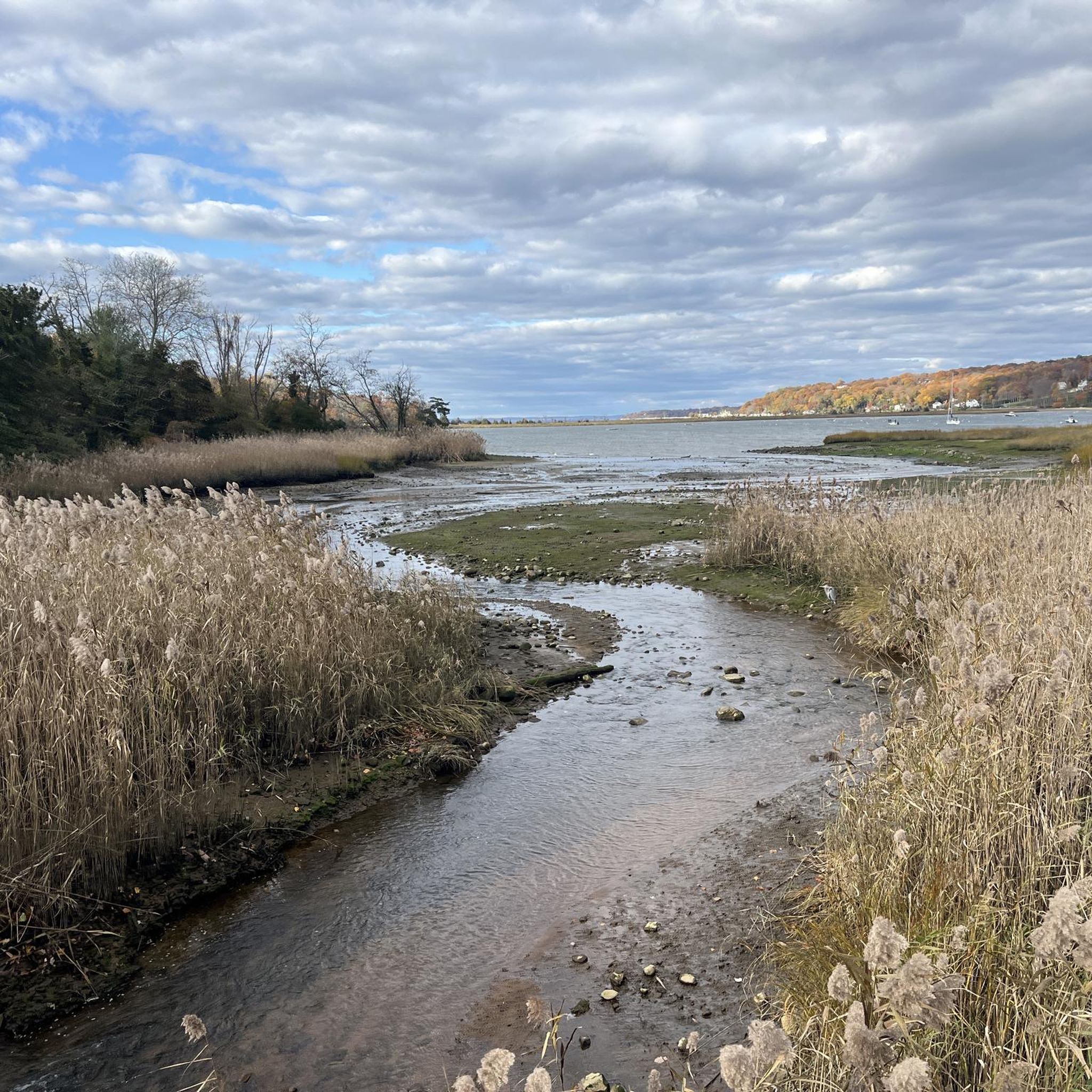
From this spot you get a nice view of a small waterfall flowing out of Belmont Lake into Carl's River. This is a pleasant spot to pause as you ride around Belmont Lake State Park and the surrounding area.
0
0

For those seeking to extend their hike, the West Loop Trail at Uplands Farm links up with the 20-mile Nassau-Suffolk Trail, which is part of the Long Island Greenbelt. This extensive trail network takes you from Cold Spring Harbor down to Massapequa, perfect for a scenic and lengthy hike.
0
0

Bethpage Bikeway is a 13.4-mile paved bike path that runs through the suburbs as well as three parks; Trail View State Park, Bethpage State Park, and Massapequa Preserve.
1
0

Belmont Lake State Park and the path running through it makes a perfect spot to cycle through off of the road and enjoy the green scenery. With the Carlis River running through it, there is plenty to see along the way.
0
0

Southards Pond Park is a popular spot for easy hiking in Babylon, New York. There is a dirt hiking loop that circles the Southards Pond (the centerpiece of the park) and a couple other paths that follow the Carlls River south.
0
0

If you are looking for a scenic and relaxing trail run, you might want to check out Southards Pond Park in Babylon, New York. This park features a 1.4-mile loop trail that circles around a large pond, where you can enjoy the views of the water and the wildlife. The trail is mostly flat and easy, with some dirt footpaths and wooden bridges. You can access the trail from many points around the pond, but the south shoreline offers the easiest access. The park is open from dawn to dusk. Southards Pond Park is a great place to enjoy nature and get some fresh air while running.
0
0
The area where Belmont Lake funnels back into the Carlls River at the southern end of the reservoir is a popular viewing spot of the water. There is a bridge crossing the creek with a head-on view of the small cascade formed by the lake flowing into the tight waterway.
0
0
Belmont Lake is fed by the Carlls River and features a few tiny islands in the middle of the reservoir. There are docks, benches, picnic tables, and a small pier on the east side of the water. The dam on the south side of the lake is another popular hiking destination.
0
0
Frequently Asked Questions
How many running routes are available around Melville?
There are nearly 50 running routes around Melville, offering a variety of experiences for joggers. Most of these routes are rated as moderate, with a few easier and more challenging options available.
Are there any easy jogging routes in Melville for beginners?
Yes, Melville offers a couple of easy jogging routes perfect for beginners or those looking for a relaxed run. These routes typically feature paved surfaces and minimal elevation changes, making them accessible for a wide range of skill levels.
What kind of terrain can I expect on jogging trails in Melville?
Jogging routes in Melville feature diverse terrain. You'll find many paved paths, especially along sections of the Bethpage Bikeway, ideal for smooth running. Other routes, like those around Jayne's Hill, offer woodlands and some elevation gain, providing a more varied and challenging experience.
Are there any scenic running routes with viewpoints or natural attractions?
Absolutely. For scenic views, consider routes that pass through areas like Thompson Park, which features woodlands and a lake. You can also find attractions such as the Massapequa Reservoir or the View of the waterfall at the Belmont Lake outlet near some running paths, offering pleasant sights during your run.
Which running routes offer a good challenge with elevation gain?
For a more challenging run with elevation gain, routes around Jayne's Hill are an excellent choice. For example, the Toad Pond – Jayne's Hill loop from Melville includes over 100 meters of ascent, while the Jayne's Hill loop from Melville offers nearly 70 meters of climbing, requiring good fitness and sure-footedness.
Are there any circular running routes in the Melville area?
Yes, many of the running routes in Melville are designed as loops, providing a convenient way to start and finish in the same location. Popular circular options include the Bethpage Bikeway loop from The Hamlet on Olde Oyster Bay and the Bethpage Bikeway – Bethpage Bikeway loop from Plainview.
What are some notable landmarks or points of interest near the running trails?
Beyond the trails themselves, you can find several interesting spots. The Bethpage Bikeway is a significant feature, and nearby natural areas include Cold Spring Harbor State Park and Bethpage State Park. For a touch of history, the Walled Garden of Knollwood Estate is also in the vicinity.
Are the running routes in Melville suitable for families?
Many of Melville's running routes, particularly those with paved surfaces and minimal elevation, are suitable for families. Thompson Park, with its playground and lake, offers a versatile spot for outdoor activities that can be enjoyed by all ages. Look for easier, shorter loops for family-friendly outings.
What do other runners say about the jogging experience in Melville?
The running routes in Melville are highly regarded by the komoot community, with an average score of 5.0 stars. Over 500 runners have explored the area using komoot, often praising the varied terrain, from smooth bikeways to challenging woodland paths, and the natural settings available.
Are there any running routes that pass by water features like ponds or lakes?
Yes, you can find running routes that offer views of water features. The Toad Pond – Jayne's Hill loop from Melville passes by Toad Pond. Additionally, areas like Thompson Park feature a lake, and the Massapequa Reservoir and Southards Pond are nearby attractions that some routes may offer glimpses of.
Can I find long-distance running options in Melville?
While many routes are moderate in length, Melville's proximity to longer trails like the Bethpage Bikeway allows for extended runs. The Bethpage Bikeway loop from The Hamlet on Olde Oyster Bay is over 10 km (6.4 miles), and the full Bethpage Bikeway spans 13.4 miles, offering ample opportunity for longer distances by combining sections.
Are there any running routes that are part of a larger trail system?
Yes, several running routes in Melville incorporate sections of the Bethpage Bikeway, a significant 13.4-mile paved path. This bikeway connects multiple parks and offers a consistent surface for runners, allowing for longer, continuous runs or easy access to different areas.
Most popular routes around Melville
Most popular attractions around Melville

Get inspired with the komoot mobile app


Explore more
Browse the best Running Trails & Routes in other regions.
