The best running trails around Dix Hills
4.9
(11)
555
runners
47
runs
Jogging around Dix Hills offers diverse natural landscapes and well-maintained trails for runners. The region is characterized by dedicated parks, including Dix Hills Park, which features hilly woodlands. Runners can also explore unique pine-barren forests and spacious fields, with many routes offering gentle hills and minimal elevation changes. These varied environments provide accessible outdoor spaces for physical activity.
Best jogging routes around Dix Hills
- The most popular jogging route is Edgewood Preserve Hiking Loop, a 3.0 miles (4.9 km) trail that takes 35 minutes to complete. This easy route traverses unique pine-barren forests and spacious fields.
- Another top favourite among local runners is Bethpage Bikeway loop from The Hamlet on Olde Oyster Bay, a moderate 6.4 miles (10.3 km) path. This route offers varied terrain suitable for a longer run through local green spaces.
- Local runners also love the Belmont Lake loop from North Babylon, a 3.2 miles (5.1 km) trail leading through areas around Belmont Lake, often completed in about 37 minutes.
- Jogging around Dix Hills is defined by hilly woodlands, pine-barren forests, and open brush plains. The network offers options for various ability levels, from easy paths to more challenging routes.
- The routes in Dix Hills are highly rated by the komoot community with an average score of 4.6 stars from over 10 reviews. More than 600 runners have used komoot to explore Dix Hills's varied terrain.
Last updated: October 14, 2026
4.90km
00:36
10m
10m
The Edgewood Preserve Hiking Loop offers a delightful and easy jogging experience through varied terrain, from shady oak woodlands to open serpentine grasslands. You'll enjoy glimpses of the San Francisco Bay and surrounding hills, especially from higher points, making it a scenic escape. The preserve is particularly renowned for its magnificent spring wildflower displays across its unique serpentine grasslands, adding a vibrant touch to your run.
Accessing the preserve is convenient, located just off I-280 near Redwood City. This 3.0-mile (4.9 km) route is rated easy, with a minimal 29 feet (9 metres) of elevation gain, and can be completed in about 35 minutes. Remember that bikes and pets are not permitted, ensuring a peaceful environment for joggers and hikers, and always stick to marked trails to protect the sensitive ecosystem.
Edgewood Preserve stands out as San Mateo County's only natural preserve, safeguarding over 500 plant species, including rare and endangered ones. Its globally rare serpentine grasslands are a biodiversity hotspot, making it a significant natural landmark. This route is perfect for beginner runners or anyone seeking a quick, refreshing jog in a naturally rich and protected environment.
58
runners
9.66km
01:01
100m
100m
Moderate run. Good fitness required. Mostly paved surfaces. Suitable for all skill levels.

19
runners
22.1km
02:26
30m
30m
Hard run. Very good fitness required. Mostly paved surfaces. Suitable for all skill levels.
21
runners
6.08km
00:38
30m
30m
Moderate run. Good fitness required. Mostly paved surfaces. Suitable for all skill levels.
40
runners
14.7km
01:40
70m
70m
Moderate run. Good fitness required. Mostly paved surfaces. Suitable for all skill levels.
Get access to more routes and recommendations from other explorers.
Already have an account?
Our route recommendations are based on thousands of hikes, rides, and runs completed by other people on komoot.
Start today with a free account
Your next adventure awaits.


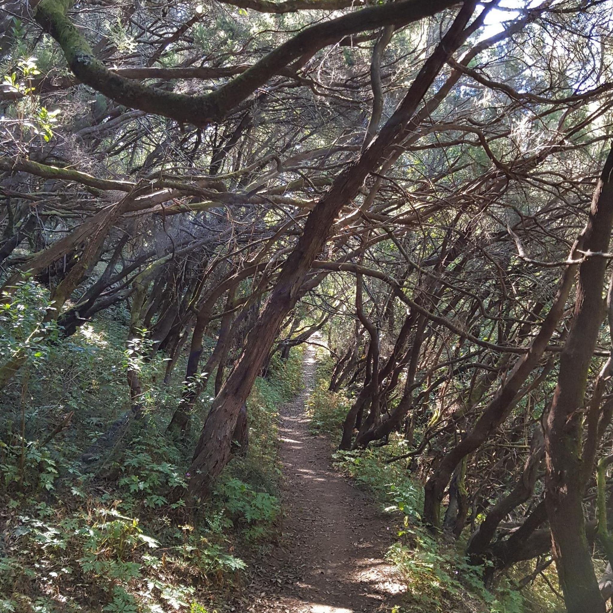
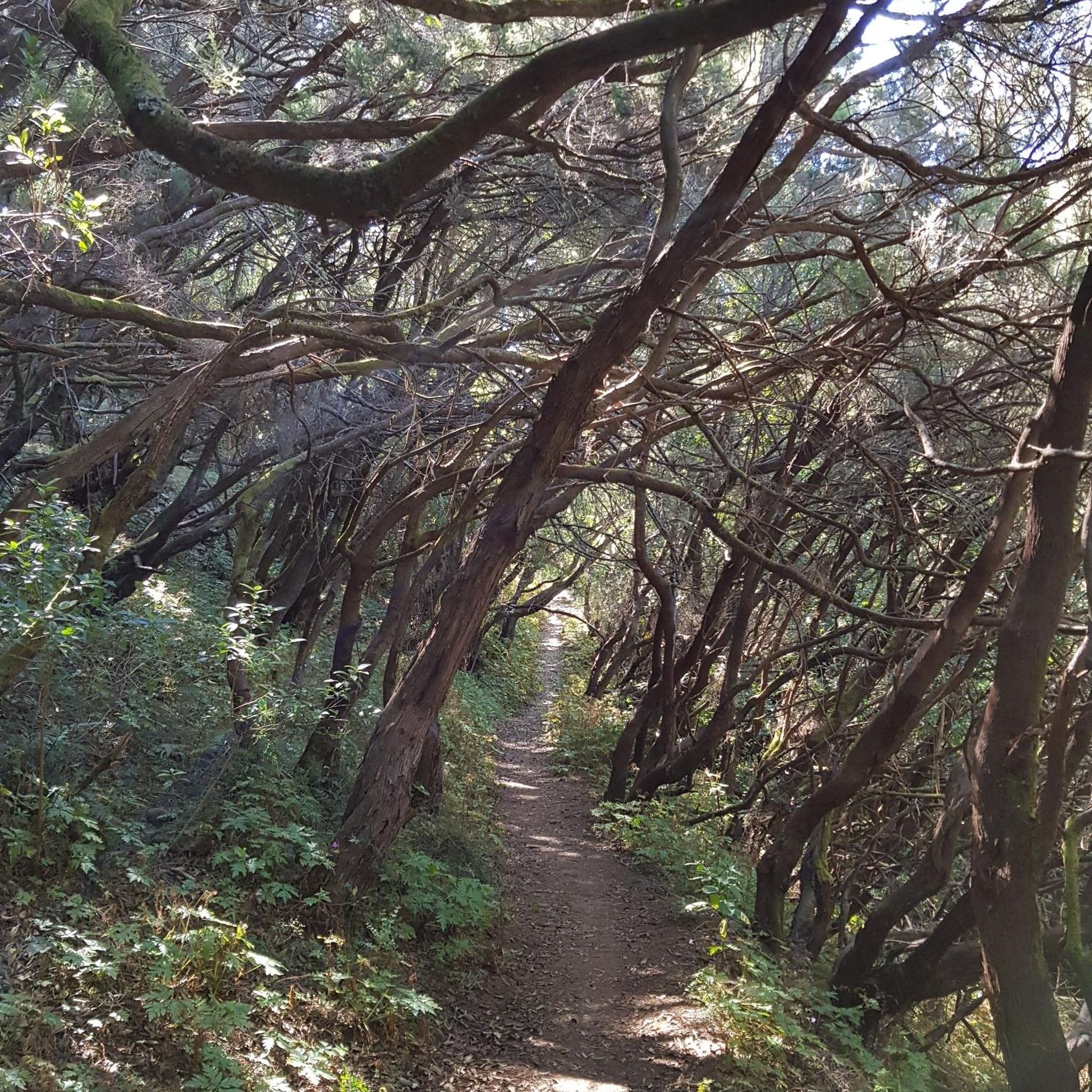
Tips from the Community

From this spot you get a nice view of a small waterfall flowing out of Belmont Lake into Carl's River. This is a pleasant spot to pause as you ride around Belmont Lake State Park and the surrounding area.
0
0

Covering 813 acres, this property has over 23.5 miles of paved and unpaved trails meandering through lush greenery. Benches are scattered throughout the area, providing convenient spots to take a break and enjoy the scenery.
0
0

Bethpage Bikeway is a 13.4-mile paved bike path that runs through the suburbs as well as three parks; Trail View State Park, Bethpage State Park, and Massapequa Preserve.
1
0

Belmont Lake State Park and the path running through it makes a perfect spot to cycle through off of the road and enjoy the green scenery. With the Carlis River running through it, there is plenty to see along the way.
0
0

Gold Star Battalion Beach is a town-owned beach on Huntington Harbor. It does not have the best swimming beach but it is a great location for fishing and kayaking. There are also picnic tables, benches and restrooms available for visitors. The beach is dedicated to the 227 men of the Huntington Township who joined the Gold Star Battalion in World War II. A plaque resides on the beach as a memorial to these brave men.
1
0

Southards Pond Park is a popular spot for easy hiking in Babylon, New York. There is a dirt hiking loop that circles the Southards Pond (the centerpiece of the park) and a couple other paths that follow the Carlls River south.
0
0

If you are looking for a scenic and relaxing trail run, you might want to check out Southards Pond Park in Babylon, New York. This park features a 1.4-mile loop trail that circles around a large pond, where you can enjoy the views of the water and the wildlife. The trail is mostly flat and easy, with some dirt footpaths and wooden bridges. You can access the trail from many points around the pond, but the south shoreline offers the easiest access. The park is open from dawn to dusk. Southards Pond Park is a great place to enjoy nature and get some fresh air while running.
0
0
The area where Belmont Lake funnels back into the Carlls River at the southern end of the reservoir is a popular viewing spot of the water. There is a bridge crossing the creek with a head-on view of the small cascade formed by the lake flowing into the tight waterway.
0
0
Frequently Asked Questions
How many running routes are available in Dix Hills?
Dix Hills offers a wide selection of running routes, with over 50 trails available for you to explore. These routes cater to various fitness levels, including easy, moderate, and difficult options.
What kind of terrain can I expect on the jogging paths in Dix Hills?
The jogging paths in Dix Hills feature diverse natural landscapes. You'll find hilly woodlands, unique pine-barren forests, and spacious open fields. Many routes have gentle hills and minimal elevation changes, providing a mix of surfaces from ground to wood chips, especially within areas like Dix Hills Park.
Are there any easy running routes suitable for beginners or a relaxed jog?
Yes, Dix Hills has several easy running routes. A great option is the Edgewood Preserve Hiking Loop, which is 3.0 miles (4.9 km) and traverses pine-barren forests and fields, offering a mostly paved surface. This route is suitable for various fitness levels.
What do other runners enjoy most about the trails in Dix Hills?
The running trails in Dix Hills are highly rated by the komoot community, with an average score of 4.6 stars from over 10 reviews. Runners often praise the diverse terrain, from hilly woodlands to open fields, and the well-maintained paths that provide a refreshing environment for physical activity.
Are there any running routes that are particularly scenic or pass by points of interest?
Yes, several routes offer scenic views and pass by interesting natural features. For instance, the Belmont Lake loop from North Babylon takes you through areas around Belmont Lake. You might also encounter highlights like the View of the waterfall at the Belmont Lake outlet or Southards Pond on other routes.
Can I find any long-distance running routes in the Dix Hills area?
For longer runs, consider routes like the Blydenburgh County Park Lake – New Millpond loop from Commack, which spans 13.9 miles (22.3 km) and offers a more challenging experience. Another good option for a longer run is the Bethpage Bikeway loop from The Hamlet on Olde Oyster Bay, covering 6.4 miles (10.3 km).
Are there any circular running routes in Dix Hills?
Many of the running routes in Dix Hills are designed as loops, offering a convenient way to start and finish in the same location. Examples include the Edgewood Preserve Hiking Loop and the Belmont Lake loop from North Babylon.
What are the best times of year to go jogging in Dix Hills?
The typical climate in Dix Hills allows for comfortable outdoor activities throughout the seasons, making it an inviting destination year-round. You can enjoy the trails in spring, summer, autumn, and even winter, though conditions may vary with snow or ice.
Where can I find information about parking and facilities for Dix Hills Park?
Dix Hills Park is a significant hub for outdoor activities. For detailed information on parking, facilities, and other amenities available at the park, you can visit the official Huntingtonny.gov website: huntingtonny.gov/dix-hills-park.
Are there any trails that pass through unique natural environments?
Yes, the region is known for its diverse natural environments. The Edgewood Preserve Hiking Loop, for example, traverses unique pine-barren forests and spacious fields. Dix Hills Park also features hilly woodlands that were once part of a field research station, offering a chance to see local flora like American Chestnut and Pitch Pine.
Are there any running routes near water features like lakes or ponds?
Absolutely. Several routes in the Dix Hills area offer views of or pass by water features. The Belmont Lake loop from North Babylon is a great example, leading through areas around Belmont Lake. You can also find routes near Southards Pond and Blydenburgh County Park, which features a lake.
Most popular routes around Dix Hills
Most popular attractions around Dix Hills

Get inspired with the komoot mobile app


Explore more
Browse the best Running Trails & Routes in other regions.
