The best road cycling routes around Crompond
4.9
(12)
456
riders
54
rides
Road cycling around Crompond, a hamlet in Westchester County, New York, offers varied terrain for cyclists. The region features a landscape of rolling hills, dense forests, and scenic waterways, including the New Croton Reservoir. This environment provides options from relatively flat sections along dedicated trailways to more challenging routes with elevation changes through the surrounding rural areas.
Best road cycling routes around Crompond
- The most popular road cycling route is The Pine Bridge Monument – Croton Falls Reservoir Bridge loop…
Last updated: June 28, 2026
21
riders
58.5km
02:51
690m
690m
Moderate road ride. Good fitness required. Some segments of this route may be unpaved and difficult to ride.
16
riders
62.8km
03:10
870m
870m
Moderate road ride. Good fitness required. Some segments of this route may be unpaved and difficult to ride.

Sign up for free
5
riders
Moderate road ride. Good fitness required. Mostly well-paved surfaces and easy to ride.
5.0
(1)
4
riders
Moderate road ride. Good fitness required. Mostly well-paved surfaces and easy to ride.
3
riders
48.1km
02:29
690m
700m
Moderate road ride. Good fitness required. Mostly well-paved surfaces and easy to ride.
Get access to more routes and recommendations from other explorers.
Sign up for free
Already have an account?
Our route recommendations are based on thousands of hikes, rides, and runs completed by other people on komoot.
Start today with a free account
Your next adventure awaits.
Login or Signup



Tips from the Community


Lots of benches just off the paved trail to rest your legs or to enjoy the scenery.
0
0

Great boardwalk that takes you over the southern edge of Teatown Lake. From it, you get a great view of the water and the surrounding hills. If you are lucky, you may catch a glimpse of some of the wildlife that lives in the pond.
1
0
The North County Trailway is a 20-mile rail trail from Baldwin Place to Sleepy Hollow. The section around Yorktown Heights is particularly scenic. It passes several Revolutionary War monuments and an old railway depot. The section ends at a beautiful old railway trestle bridge.
0
0
This bronze statue is a memorial to the Battle of Pines Bridge, a battle in the Revolutionary War. The monument is made to reflect the diversity of the soldiers in the war. The monument is located in Railroad Park, which has benches and a cafe.
0
0
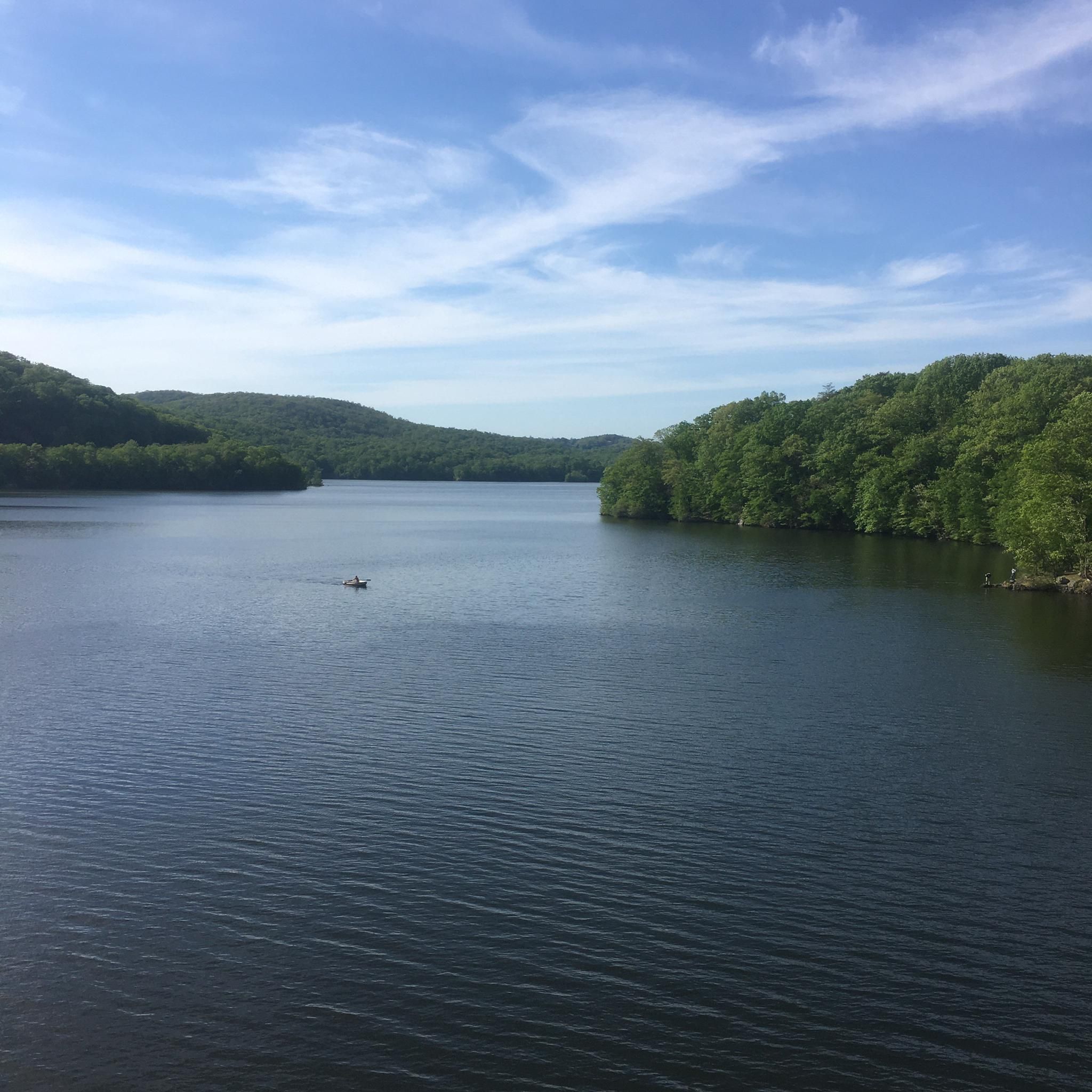
As you cross over an old rail trestle bridge, you are treated to great views of the New Croton Reservoir. The bridge is not open for car traffic, so you can stop on the path for a quick break to take in the views.
2
0
Frequently Asked Questions
How many road cycling routes are available around Crompond?
There are over 60 road cycling routes around Crompond, offering a wide range of options for different preferences and skill levels. You'll find 4 easy routes, 43 moderate routes, and 14 difficult routes to explore.
What kind of terrain can I expect on road cycling routes near Crompond?
Road cycling in Crompond primarily features access to the North County Trailway, which offers a relatively flat and smooth paved surface. Beyond the trailway, the surrounding Westchester County is characterized by rolling hills, lush forests, and scenic waterways, providing varied terrain from gentle stretches to routes with significant elevation changes.
What scenic highlights can I see while road cycling near Crompond?
Many routes offer picturesque views, including the expansive water views from the bridge crossing the New Croton Reservoir. You can also encounter landmarks like the New Croton Dam, the Red Bridge over the Croton Reservoir, and The Pine Bridge Monument. The North County Trailway itself passes through diverse landscapes including forests and wetlands.
Where can I find parking for road cycling routes in Crompond?
Yorktown Heights, central to Crompond, serves as an excellent base for accessing the North County Trailway, offering convenient parking access points. Many routes, such as the New Croton Dam – Trailside Café loop from Parking at Valeria, start from designated parking areas.
Are there places to stop for food or drinks along the routes?
Yes, Yorktown Heights offers various shops and restaurants where you can refuel or relax during your ride. Some routes, like the New Croton Dam – Trailside Café loop from Parking at Valeria, even incorporate specific cafes into their names, indicating convenient stops.
When is the best time of year to go road cycling in Crompond?
The spring and fall seasons generally offer the most pleasant weather for road cycling in Crompond, with comfortable temperatures and beautiful foliage. Summer can be enjoyable, but be prepared for warmer temperatures. Winter cycling is possible but may require appropriate gear for colder conditions and potential snow or ice.
Are there family-friendly road cycling options near Crompond?
Absolutely. The North County Trailway is a paved, multi-use path that is relatively flat and car-free, making it an excellent choice for families and beginner cyclists. There are 4 easy routes available in the area, perfect for a relaxed ride.
Are there any circular road cycling routes in the Crompond area?
Many of the road cycling routes around Crompond are designed as loops, allowing you to start and end at the same point. An example is The Pine Bridge Monument – Quiet resting spot loop from Donald J. Trump State Park – French Hill Section, which offers a moderate 34-mile circular ride.
What do other road cyclists say about the routes in Crompond?
The road cycling routes in Crompond are highly regarded by the komoot community, with an average score of 4.8 stars from over 18 reviews. More than 600 road cyclists have explored the varied terrain, often praising the scenic views, access to the North County Trailway, and diverse options for different skill levels.
What is the North County Trailway and how does it relate to road cycling in Crompond?
The North County Trailway is a significant paved multi-use path that stretches over 22 miles through Westchester County, following a former railroad route. It's a standout feature for road cyclists in Crompond, providing extensive car-free sections with picturesque views of forests, wetlands, and the New Croton Reservoir. It connects to other trailways, forming a larger network for exploration.
Are there any routes with significant elevation gain for a challenge?
Yes, while the North County Trailway offers flatter sections, the surrounding Westchester County provides routes with more substantial climbs. For example, the Tinker Hill Climb – Canopus Lake loop from E MAIN STREET @ WESTBROOK DR is a 39-mile route known for its varied terrain and significant hills, making it a good option for those seeking a challenge.
How long are the road cycling routes typically around Crompond?
The road cycling routes around Crompond vary in length. Many popular routes are moderate in distance, ranging from approximately 25 to 40 miles. For instance, The Pines Bridge Monument – Trailside Café loop from Parking at Valeria is about 25 miles, while Tinker Hill Climb – Canopus Lake loop from E MAIN STREET @ WESTBROOK DR extends to nearly 39 miles.
Most popular routes around Crompond
Most popular attractions around Crompond

Get inspired with the komoot mobile app


Explore more
Browse the best Road cycling routes in other regions.
