The best road cycling routes around Eitzing
4.6
(128)
2,473
riders
262
rides
Road cycling routes around Eitzing traverse a varied landscape, offering diverse terrain suitable for different skill levels. The region features a mix of paved surfaces and segments with notable elevation changes, providing both leisurely rides and more challenging ascents. Cyclists can experience picturesque surroundings, including potential views of traditional farms and river-adjacent paths. This topography ensures a range of road cycling experiences across the area.
Best road cycling routes around Eitzing
- The most popular road cycling route is Upper Town…
Last updated: October 18, 2026
31
riders
Moderate road ride. Good fitness required. Mostly well-paved surfaces and easy to ride.
5.0
(2)
53
riders
54.8km
02:18
290m
290m
Moderate road ride. Good fitness required. Mostly well-paved surfaces and easy to ride.

3.5
(2)
22
riders
Moderate road ride. Good fitness required. Mostly well-paved surfaces and easy to ride.
5.0
(1)
39
riders
Easy road ride. Great for any fitness level. Mostly well-paved surfaces and easy to ride.
5.0
(2)
32
riders
33.8km
01:32
140m
140m
Easy road ride. Great for any fitness level. Mostly well-paved surfaces and easy to ride.
Get access to more routes and recommendations from other explorers.
Already have an account?
Our route recommendations are based on thousands of hikes, rides, and runs completed by other people on komoot.
Start today with a free account
Your next adventure awaits.
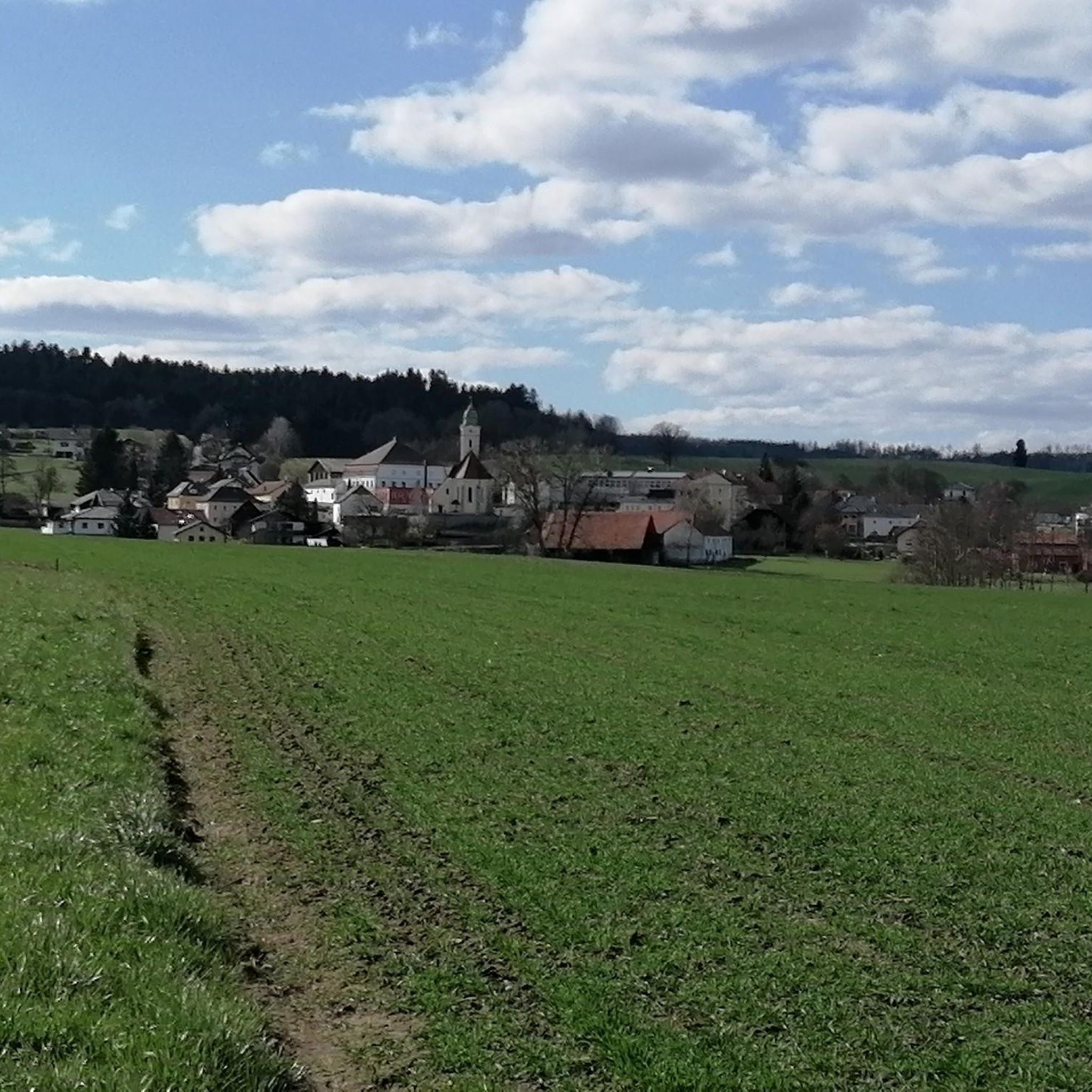
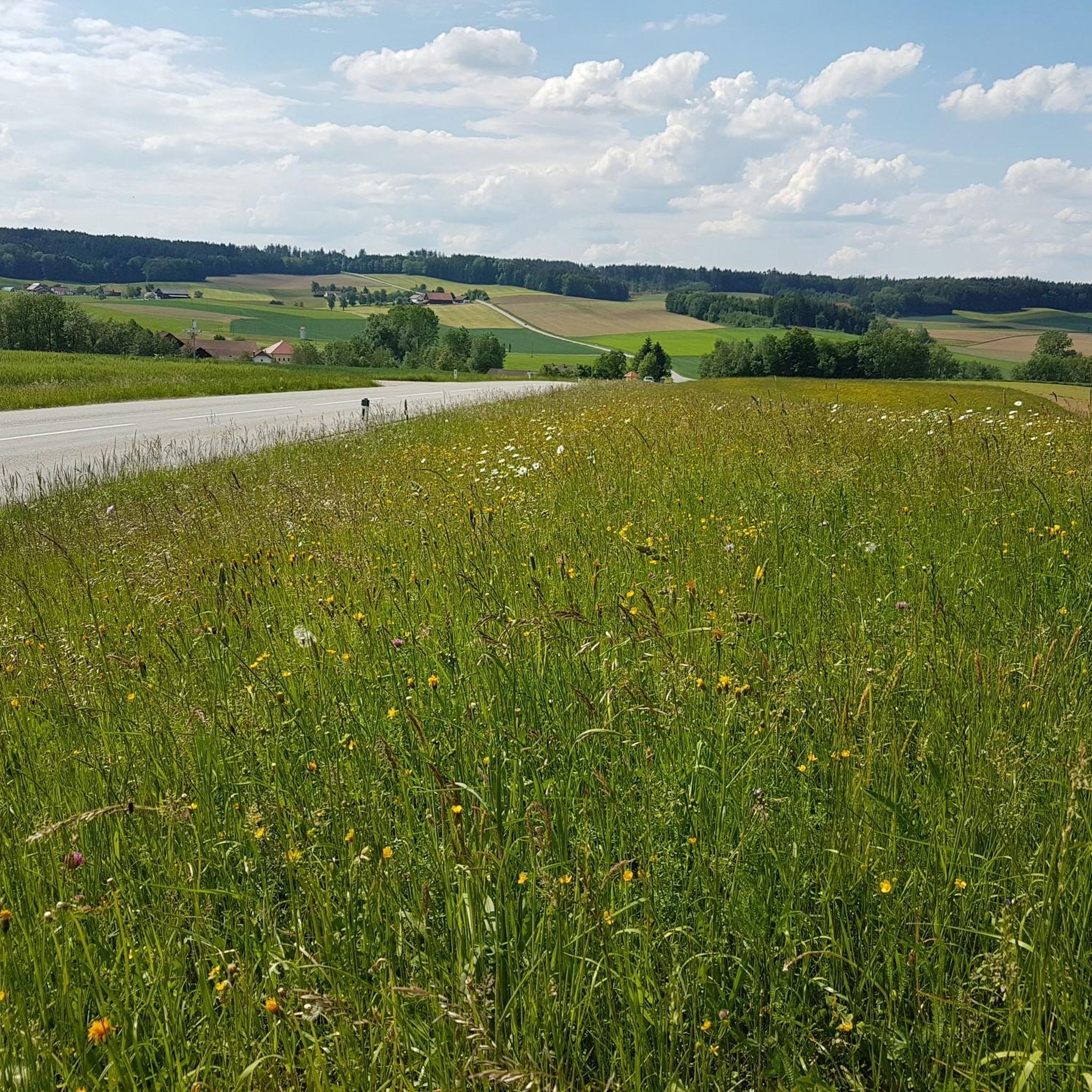
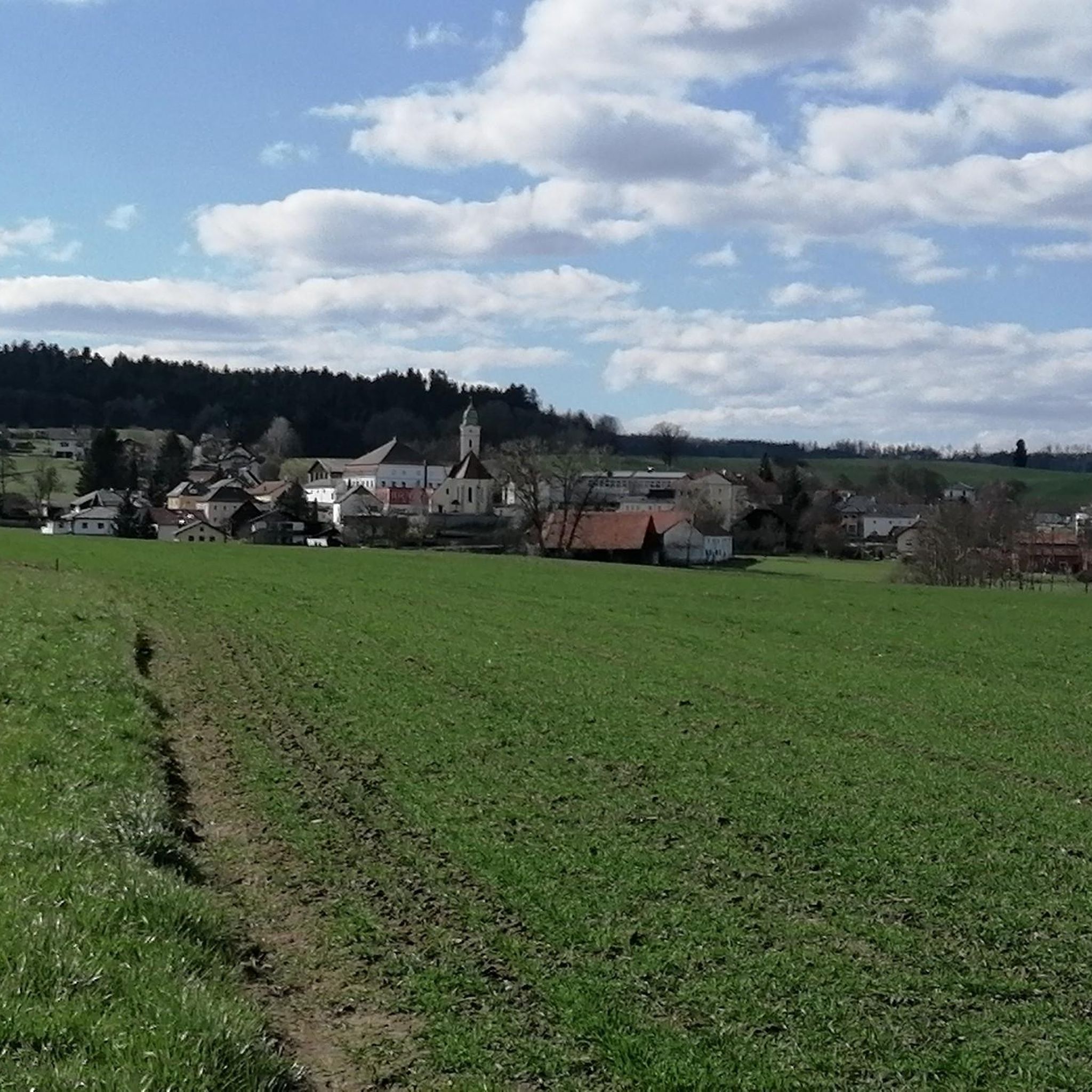
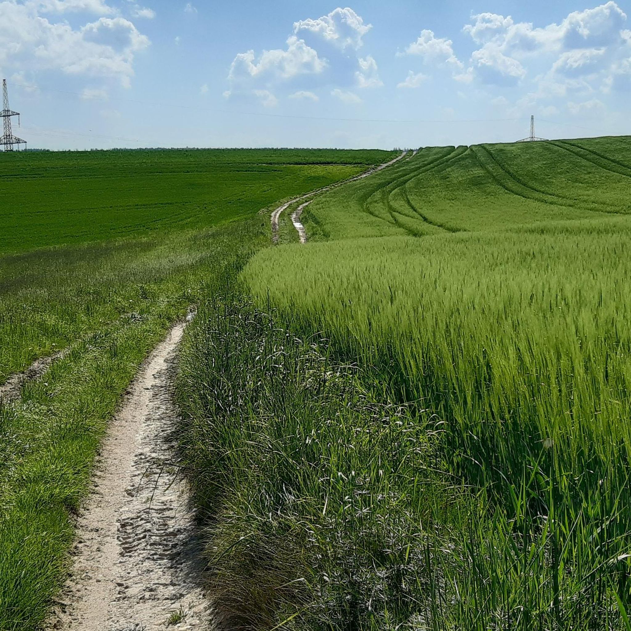
Tips from the Community

Beautiful town ensemble with a main square that is often used for the market.
0
0
Beautiful town ensemble with a main square that is often used for the market.
0
0

Schloss Neuhaus am Inn is located in Bavaria, Germany, and offers splendid panoramic views of the Inn river valley
0
0

Optimal hotspot with a view of the castle for taking perfect pictures. An ice cream parlor is also located right on site.
3
0

Ried is situated in the heart of the Innviertel hill country, in a depression of the Alpine foothills north of the Hausruck Forest. The town's name derives from the Middle High German word "Riet" (also: "Rieth," "Reet," "Rohr," and similar terms), meaning reeds growing on riverbanks and marshy ground. A spot where the gradient of the two rivers, Oberach and Breitsach, slowed and saturated the soil gave the town its name. The two rivers converge north of the old town to form the Rieder Bach, a stream that flows for 2.6 kilometers before emptying into the Antiesen River outside the town limits. Ried im Innkreis lies at an altitude of 433 meters. It extends 3.2 kilometers from north to south and 3.6 kilometers from west to east, covering a total area of 6.7 square kilometers.
3
0
Ried im Innkreis is a town in western Upper Austria with 12,766 inhabitants, located approximately 80 kilometers west of Linz and 60 kilometers northeast of Salzburg. It is the district capital of the Ried district and a regional center within the Innviertel region. It is also the center of the Ried im Innkreis judicial district.
2
0

The small church "on the hill" has a long tradition. It was named after the Capuchin friars.
0
0
The parish church of Kirchdorf am Inn is located in the municipality of Kirchdorf am Inn in Upper Austria. It is the Roman Catholic parish church of the Assumption of Mary.
0
0
Frequently Asked Questions
How many road cycling routes are available around Eitzing?
There are over 330 road cycling routes around Eitzing, offering a wide variety of options for different skill levels and preferences. This includes 48 easy routes, 243 moderate routes, and 48 difficult routes.
What kind of landscapes can I expect to see while road cycling around Eitzing?
Road cycling routes around Eitzing traverse a varied and picturesque landscape. You can expect to see a mix of terrain, including potential views of traditional farms and scenic river-adjacent paths. The region offers diverse topography, from mostly paved, leisurely rides to more demanding segments with notable elevation changes.
What do other cyclists enjoy most about road cycling in Eitzing?
The road cycling routes in Eitzing are highly rated by the komoot community, with an average score of 4.7 stars from over 90 reviews. More than 3,000 road cyclists have explored the area, often praising the varied terrain, picturesque surroundings, and the extensive network of paths suitable for different abilities.
Are there any interesting landmarks or attractions I can visit along the road cycling routes?
Yes, several attractions can enhance your road cycling experience. You might encounter the beautiful Aurolzmünster Castle, which serves as a starting point for many routes. Other points of interest include the Obernberg am Inn Market Square, and the Ried im Innkreis City Park. For a relaxing stop, the Therme Geinberg is also within cycling distance.
Are there easy road cycling routes suitable for beginners in Eitzing?
Yes, Eitzing offers 48 easy road cycling routes perfect for beginners or those looking for a more relaxed ride. An example is the Aurolzmünster Castle – Peterskirchen Church loop from Eitzing, which is an easy 29.9 km trail.
Are there challenging road cycling routes for experienced cyclists?
Absolutely. For experienced cyclists seeking a challenge, Eitzing provides 48 difficult road cycling routes with significant elevation changes. These routes offer more strenuous journeys through the region's diverse topography.
Are there circular road cycling routes available in Eitzing?
Many of the road cycling routes around Eitzing are designed as loops, allowing you to start and end at the same point. For instance, the popular Upper Town Square, Schärding – Schärding Town Square loop from Aurolzmünster is a 69.3 km circular route.
What is the best time of year for road cycling in Eitzing?
The region is generally conducive to outdoor pursuits. While specific seasonal data isn't available, spring through autumn typically offers the most favorable weather conditions for road cycling, with pleasant temperatures and less chance of snow or ice. Always check local weather forecasts before heading out.
Can I find cafes or accommodation along the road cycling routes in Eitzing?
While specific cafes and accommodation directly on every route are not detailed, the region is well-equipped for visitors. Attractions like the Therme Geinberg offer relaxation, and towns such as Aurolzmünster and Ried im Innkreis likely provide various amenities, including cafes and places to stay, making them good stops during or after your ride.
Are there any routes that connect significant town squares or cultural sites?
Yes, several routes are designed to connect notable town squares and cultural sites. For example, the Schärding Town Square – Upper Town Square, Schärding loop from Aurolzmünster explores the areas around Schärding's town squares. Another route, Obernberg am Inn Market Square – Reichersberg Abbey loop from Aurolzmünster, connects a market square with a historic abbey.
What is the average duration for a road cycling route in Eitzing?
The duration varies significantly depending on the route's length and difficulty. For example, a moderate route like the Upper Town Square, Schärding – Schärding Town Square loop from Aurolzmünster, which is 69.3 km, typically takes about 3 hours 1 minute to complete. Shorter, easier routes will take less time, while longer, more difficult ones will require more.
Most popular attractions around Eitzing

Get inspired with the komoot mobile app


Explore more
Browse the best Road cycling routes in other regions.
