The best running trails around Los Alamos
4.0
(2)
170
runners
45
runs
If you’ve ever tried to plan jogging around Los Alamos, you know how quickly the sheer number of trails can become overwhelming. It’s tough to tell which routes are genuinely worth your time and effort, and which are just filler. That’s where we come in. Our komoot community has mapped, run, and reviewed these routes, so we’ve done the legwork to bring you a curated shortlist of the very best, saving you all the guesswork.
Jogging here is a unique…
Last updated: May 10, 2026
8
runners
17.3km
02:17
560m
560m
The Guaje Ridge/Perimeter Loop offers a challenging jogging experience through the diverse landscapes north of Los Alamos. You'll navigate varied terrain, from rugged singletrack to steep dirt roads, passing through…
6
runners
8.23km
01:03
200m
200m
The Bayo Benches Loop offers a dynamic jogging experience through the Los Alamos County Trail Network, blending packed dirt paths with historic wagon roads carved into volcanic rock. You'll traverse…

4
runners
13.4km
01:34
290m
290m
If you're seeking a rewarding jogging experience near Los Alamos, the Perimeter Trail delivers a moderate challenge over 8.3 miles (13.4 km). You'll navigate a route with 948 feet (289…
4
runners
6.92km
00:51
90m
90m
The Kwage Mesa Loop offers a dynamic jogging experience through varied terrain, from smooth dirt paths to challenging single-track and slickrock sections. You'll be treated to expansive vistas of the…
3
runners
9.25km
01:20
420m
420m
If you're an experienced trail runner looking for a serious challenge with big rewards, the Quemazon Trail delivers. This difficult 5.7-mile (9.3 km) route climbs a substantial 1374 feet (419…
Get access to more routes and recommendations from other explorers.
Already have an account?
Our route recommendations are based on thousands of hikes, rides, and runs completed by other people on komoot.
Start today with a free account
Your next adventure awaits.
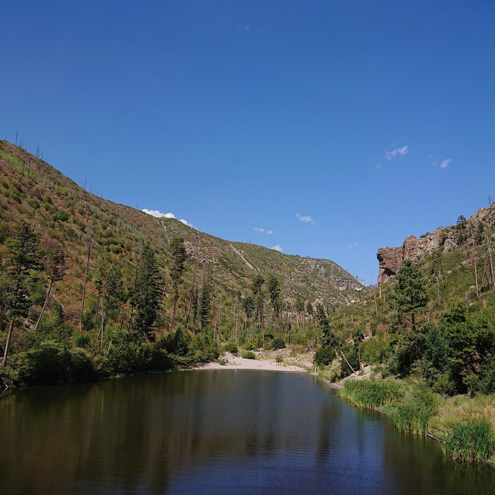
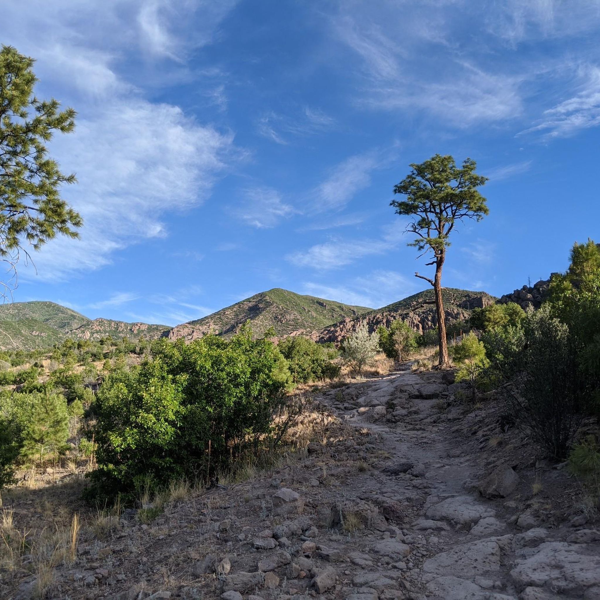
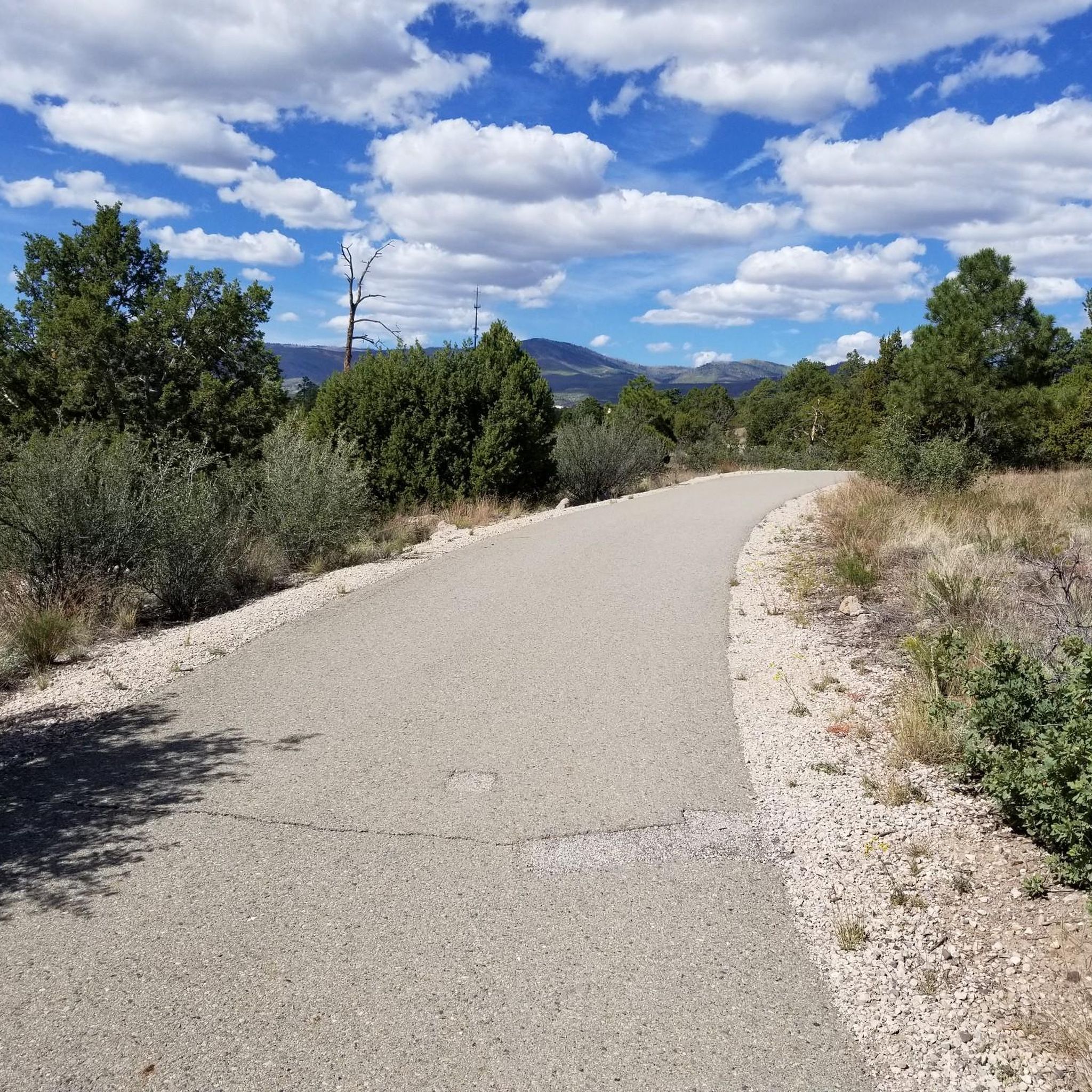
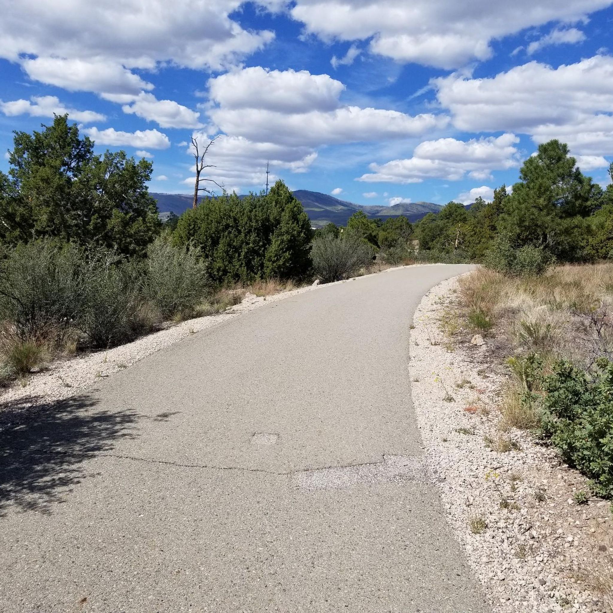
Tips from the Community

The Quemazon Trail is an excellent running and hiking trail on the westside of Los Alamos. It is typically run as a downhill trail accessed from either the Knapp/Los Alamos Canyon Trail or Pipeline Road, but it can be run uphill. The Quemazon Trail is a technical trail with stretches of flowy singletrack intermixed with rocks, ledges, and small drops to keep things interesting.
0
0
The Kwage Mesa Trail is an easy, flat trail that takes you out into the desert northeast of Los Alamos, New Mexico. Archeologists have found evidence of human activity on the Kwage (KWA-hee) Mesa, which is also known as the Pajarito Plateau, dating back over 10,000 years. This unique trail is a great place to run through both natural and human history close to town.
0
0
Here you will find the trailhead for the Bayo Canyon Trail. The trail runs from the rotary next to Loma Linda Park to the bottom of Bayo Canyon. At the bottom of the canyon the trail levels out before turning into a dirt road that eventually leads out to the highway.
0
0

An easy trail that winds through the North Community, featuring numerous entry points and links to various well-traveled trails. Enjoy breathtaking vistas of Los Alamos and its picturesque surroundings.
0
0
The Mitchell Trail is a very steep, switchbacking trail thats open to hikers, bikers, and joggers.This trail is very popular with those headed to the Los Alamos Arch.
0
0
The Guaje Ridge Trail is a long, open trail that traverses the amazing ridges of several mountain tops (most unnamed) north of Los Alamos. This section of trail stretches from the intersection with the Mitchell Trail and the Upper Guaje Ridge Trail. Although you're only a few miles from town (as the crow flies), this is an incredibly remote feeling trail.
0
0
This spot is known as the North Bench Overlook and is a great spot to include as part of the larger Rendija Crack Loop, the Bayo Benches Loop, or as a destination in and of itself. From this overlook on the North Bayo Bench Trail, you get great views of the orange-walled Bayo Canyon, Barranca Mesa, and the Sangre de Cristo Mountains.
0
0
From this spot you get fantastic views down Pueblo Canyon. This is a great spot to sip some water, take a few photos, and admire your surroundings.
0
0
Frequently Asked Questions
How many running routes are available in Los Alamos?
Los Alamos offers a wide variety of running experiences, with over 45 routes documented on komoot. These range from easy paths to challenging trails, catering to all fitness levels.
What kind of terrain can I expect on Los Alamos running trails?
The terrain in Los Alamos is incredibly diverse, shaped by ancient volcanic activity. You'll find routes traversing mesa tops, descending into rugged canyons, winding through pine forests, and offering views of the Rio Grande. Options range from mostly paved surfaces to technical singletrack with rocks and ledges.
Are there easy running routes for beginners in Los Alamos?
Yes, Los Alamos has options suitable for beginners. While many routes are moderate to difficult, there are at least 2 easy routes available. These typically feature less elevation gain and smoother surfaces, perfect for those new to running or looking for a relaxed jog.
Where can I find challenging running trails in Los Alamos?
For experienced runners seeking a challenge, Los Alamos offers 15 difficult routes. Trails like the Guaje Ridge/Perimeter Loop and Quemazon Trail feature significant elevation changes and technical sections, providing a rigorous workout.
Are there any circular running routes in Los Alamos?
Yes, many of the running routes in Los Alamos are loops, perfect for starting and ending your run in the same spot. Popular loop options include the Bayo Benches Loop and the Kwage Mesa Loop, offering varied scenery and experiences.
What scenic viewpoints or landmarks can I see while jogging?
Los Alamos trails offer stunning views and historical landmarks. You might encounter dramatic canyon vistas, panoramic views from spots like the North Bench Overlook, or even ancient Petroglyphs. The volcanic landscape itself is a major attraction, with features like the Los Alamos Natural Arch.
Is Los Alamos suitable for high-altitude running training?
Absolutely. Situated on the Pajarito Plateau at an elevation of 7,400 feet, Los Alamos provides a natural advantage for high-altitude training. The extensive trail network allows runners to adapt and improve their endurance in this unique environment.
What do other runners enjoy most about jogging in Los Alamos?
The running routes in Los Alamos are highly rated by the komoot community, with an average score of 4.0 stars. Runners frequently praise the diverse terrain, the stunning volcanic landscapes, and the opportunity to experience high-altitude training. The variety of trails, from flowy singletrack to challenging climbs, is also a common highlight.
Are Los Alamos running trails dog-friendly?
Many trails in Los Alamos County Open Space are dog-friendly, but it's always best to check specific trail regulations before heading out with your canine companion. Always keep dogs on a leash and be mindful of wildlife and other trail users.
Are there family-friendly jogging routes in Los Alamos?
Yes, Los Alamos offers several family-friendly options, particularly on less strenuous paths or paved sections. These routes are generally shorter, have minimal elevation gain, and provide a safe and enjoyable experience for families looking to jog together. Look for trails designated as 'easy' for the best family experience.
What is the best time of year to go running in Los Alamos?
Los Alamos offers great running opportunities throughout the year, but spring and fall are particularly pleasant with mild temperatures and beautiful scenery. Summer mornings are also ideal before the heat sets in. Winter running is possible, but be prepared for snow and ice on some trails, especially at higher elevations.
Can I access running trails in Los Alamos using public transport?
While Los Alamos has a local bus system, many trailheads are more easily accessed by car. It's advisable to check the specific location of your desired trailhead and the local bus routes to determine if public transport is a viable option for your chosen running route.
Most popular attractions around Los Alamos

Get inspired with the komoot mobile app


Explore more
Browse the best Running Trails & Routes in other regions.
