The 20 Most Amazing Peaks around Langenbruck
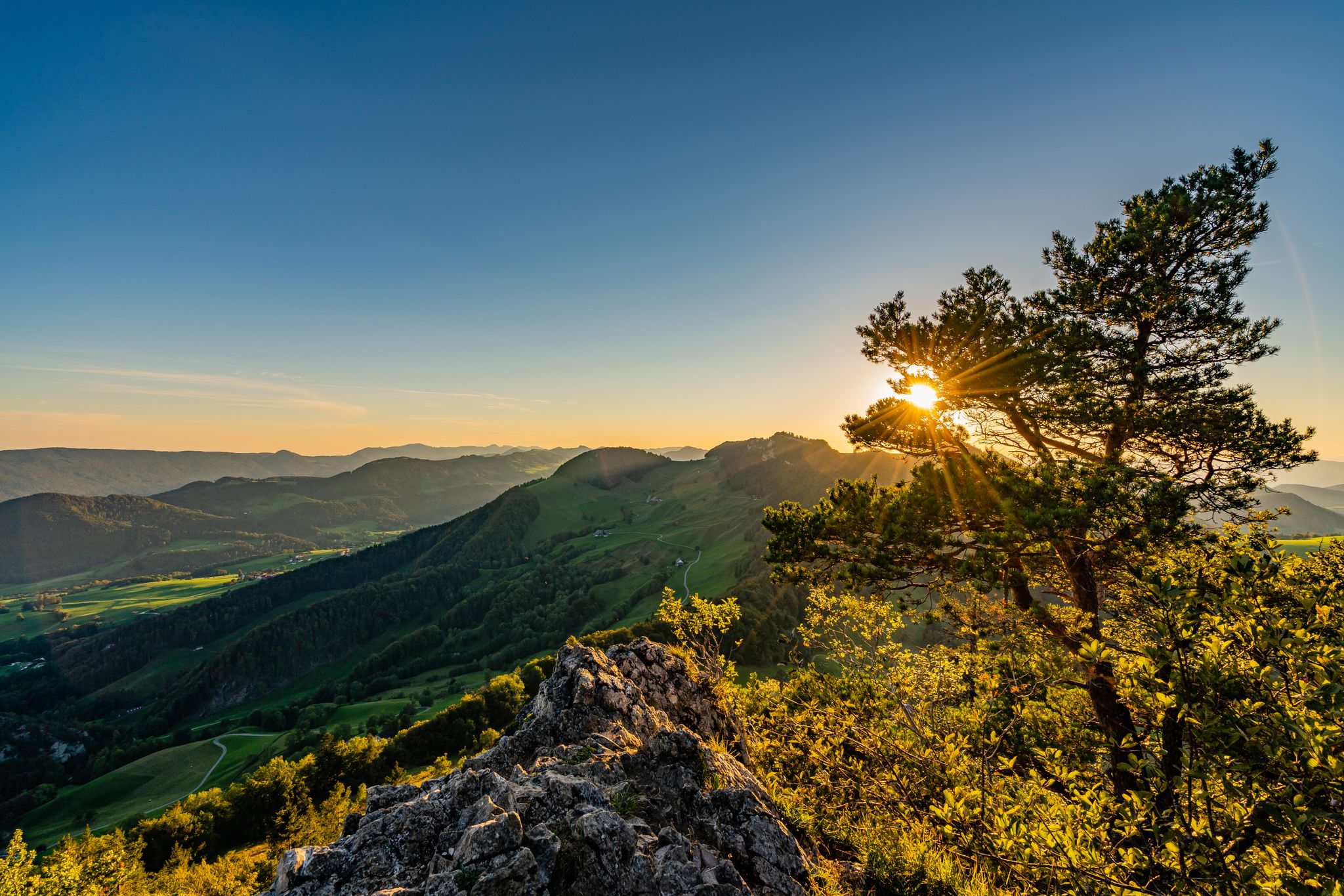
Best mountain peaks around Langenbruck, a municipality in the canton of Basel-Landschaft, Switzerland, offer access to elevated areas known for panoramic views and appealing hiking routes. The region serves as a gateway to diverse natural landscapes, characterized by its varied terrain suitable for outdoor activities. These mountain peaks provide opportunities to experience the natural environment and explore numerous trails.
Best mountain peaks around Langenbruck
- The most popular mountain peaks is Belchenflue Summit Viewpoint, a summit that offers extensive views,…
Last updated: October 11, 2026
Wisenberg Observation Tower
Highlight • Monument
The forest grew higher and higher, making it necessary to expand the tower.
Translated by Google •
Tip by

Belchenflue Summit Viewpoint
Highlight • Summit
Translated by Google •
Tip by
Sign up now to discover places like this
Get recommendations on the best single tracks, peaks, & plenty of other exciting outdoor places.
Hirnichopf Summit
Highlight • Summit
Translated by Google •
Tip by

Wasserfallen Mountain Station
Highlight • Rest Area
:Opening hours
May to October 2018:
Monday and Tuesday: Only for groups upon registration
Wednesday-Friday: 1pm-5pm
Weekends and public holidays: 11 am-5 pm
Opening hours school holidays BL:
Summer …
Translated by Google •
Tip by

Vogelberg Summit
Highlight • Summit
Translated by Google •
Tip by

Sign up for free to discover even more peaks around Langenbruck.
Already have an account?
Start today with a free account
Your next adventure awaits.
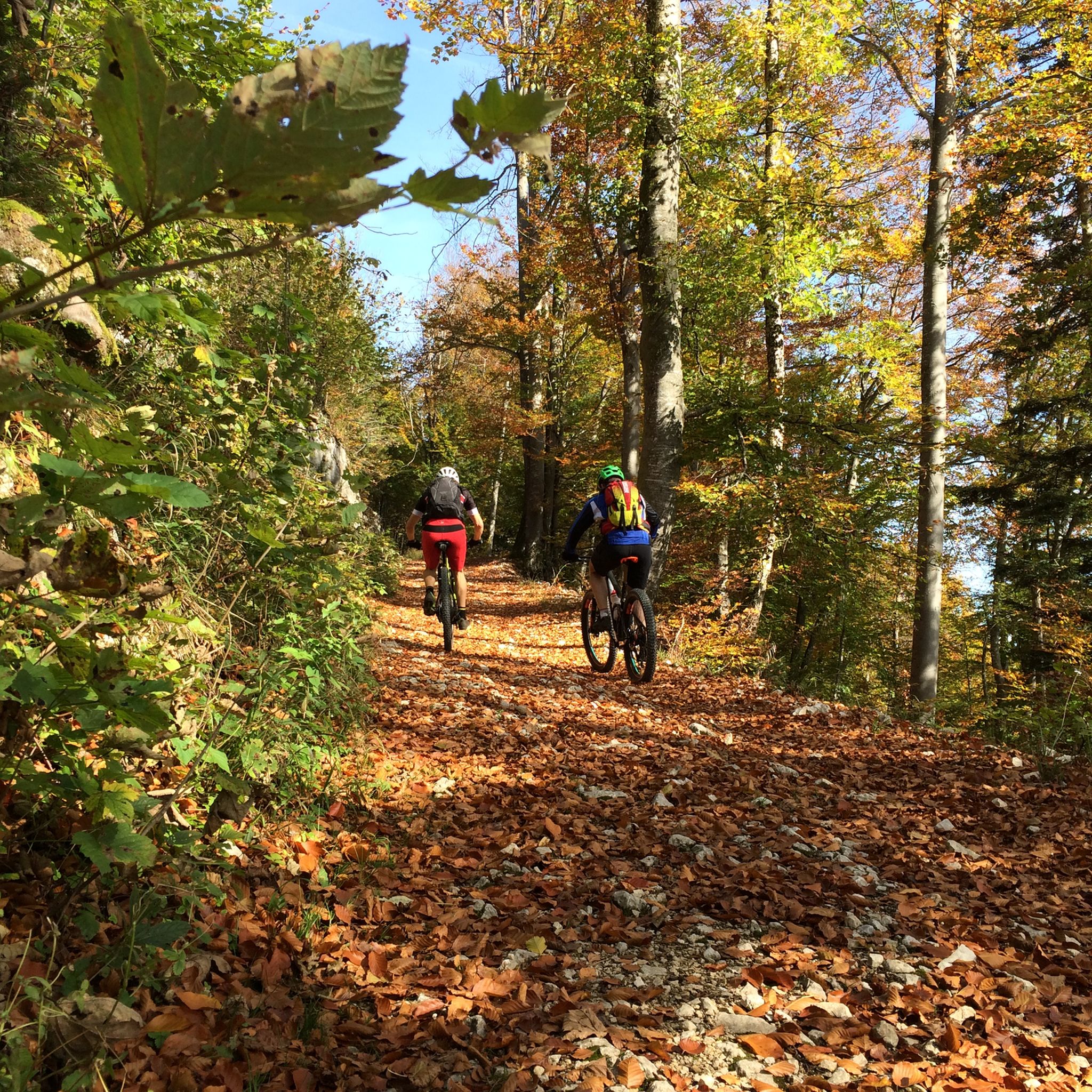
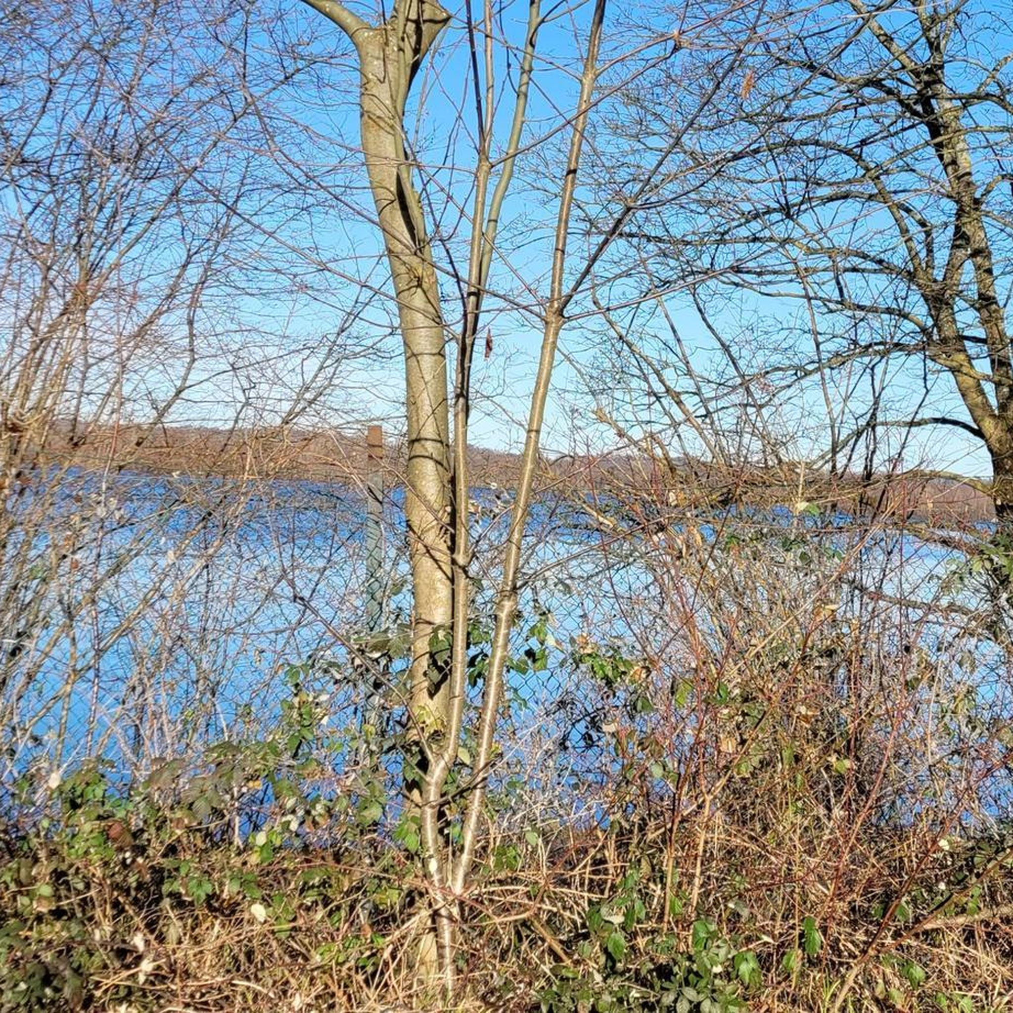
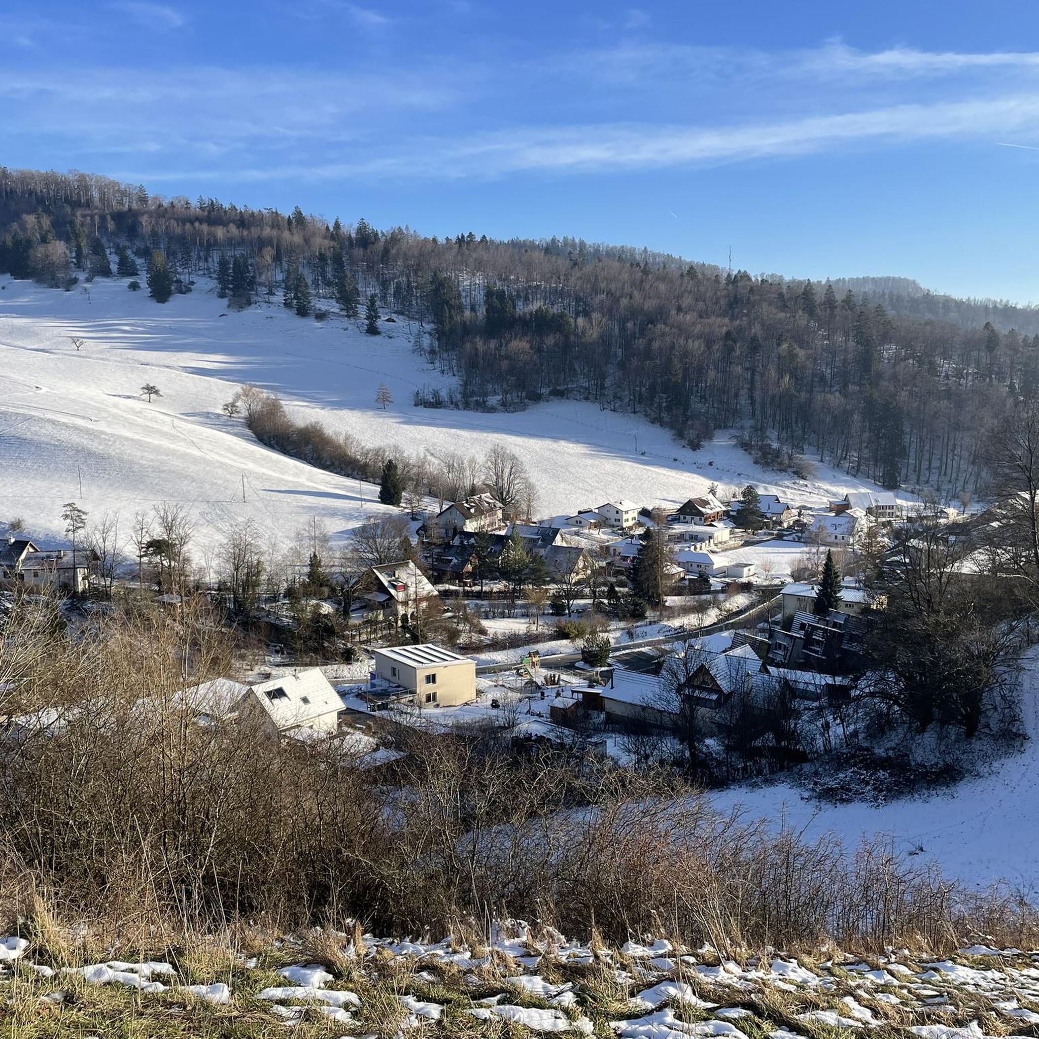
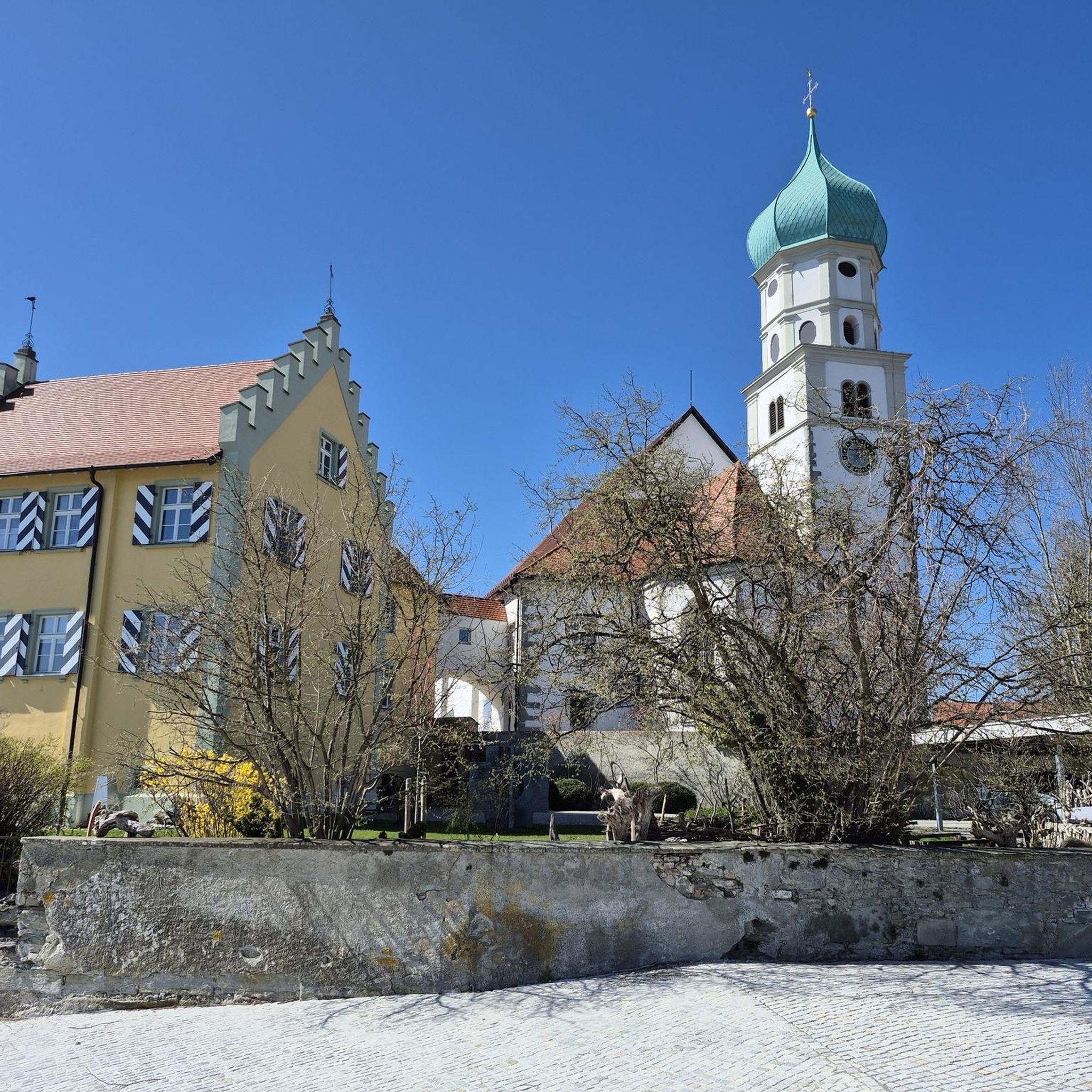
Other adventures around Langenbruck

Tips from the Community

Beautiful summit and viewpoint at 1204 meters
6
1
This viewpoint is located on the highest point of the Swiss Belchen on the border between Baselland and Solothurn and is best reached on foot. There are no public transport stations nearby. A car park is available 5 minutes on foot below the Chilchzimmersattel. From there it is a 15-minute hike to the Belchenfluh. Further information The famous "Belchenflue" viewpoint was used as an observation post in World War I and was blasted into its current form. The Belchensüdstrasse between Ifenthal and the Belchenflue commemorates the troops involved in the construction with numerous coats of arms, which immortalized themselves in the rock after the work was completed.
15
2

A great tour that we really enjoyed. In order not to have to walk the same route to and from Hirnichopf twice, we walked the official hiking trail shortly after the start to Hirnichopf. A small trail with steps and lots of variety. When descending from Hirnichopf again on the "official" path, I had to say: "If I had had to go up here..." (a climb from here would definitely have made my pulse race). So it's better to use the official hiking trail shortly after the start. A short stop at the Metingerbeg restaurant also refreshed us. Otherwise the route was great and we liked the view! Thank you
2
4
Here are the details about the forest rope park https://www.region-wasserfallen.ch/angebote/waldseilpark-wasserfallen/
4
0

Great hike with a view of the mountains. Sure-footedness required
2
0
Since the Wiesenberg is in the forest, this observation tower makes sense. It takes hikers above the treetops and allows a 360-degree panorama. There are panorama boards. The climb is worth it.
6
0

Romantic paths over rocky ridges invite you to climb the Belchenflue at 1,099 m with a unique panoramic view. The viewpoint is located at the highest point of Belchen on the border between Baselland and Solothurn and can be reached on foot. https://www.baselland-tourismus.ch/poi/belchenfluh
6
0

Attention to those who have vertigo
2
0
Frequently Asked Questions
What are some of the most rewarding mountain peaks to visit near Langenbruck?
For extensive panoramic views, especially glimpses of the Alps, the Belchenflue Summit Viewpoint is highly recommended. Another excellent choice is Vogelberg Summit, offering beautiful vistas of Basel and the Alps on clear days. For those seeking a challenge with rewarding mountain views, Hirnichopf Summit provides a steep but worthwhile ascent.
Are there any observation towers or unique viewpoints in the Langenbruck region?
Yes, the Wisenberg Observation Tower offers a 360-degree panorama above the treetops. It was historically used as an air observation post during World War II and has been extended to provide excellent views today.
What kind of hiking trails can I find around the mountain peaks near Langenbruck?
The region offers diverse hiking trails, from moderate loops to more challenging routes. Popular options include the 'Belchenflue Summit – Fortification Hauenstein loop' and the 'Belchenflue — Views of the Alps' loop. For a more demanding experience, consider the 'Gwidem ridge trail – Belchenflue Summit Viewpoint loop'. You can find more details on these and other routes in the Hiking around Langenbruck guide.
Is there a good starting point for various outdoor activities near Langenbruck?
The Wasserfallen Mountain Station serves as an excellent starting point for a variety of outdoor activities. It's accessible by gondola year-round and is a hub for hiking, snowshoeing, and even features a forest ropes course.
What is the best time of year to visit the mountain peaks around Langenbruck?
The spring, summer, and autumn months generally offer the best conditions for hiking and enjoying the panoramic views. Clear days are ideal for seeing the Alps from peaks like Belchenflue and Vogelberg. While winter hiking is possible, some trails may require specific gear or experience due to snow and ice.
Are there family-friendly options for exploring the mountain peaks near Langenbruck?
While some summits involve steep ascents, the region around Wasserfallen Mountain Station is known for being family-friendly, offering a forest ropes course and various starting points for easier walks. Many trails also offer opportunities for shorter, less strenuous sections suitable for families.
What are the typical difficulty levels for hiking trails to these peaks?
Hiking trails range from intermediate to challenging. For instance, the ascent to Hirnichopf Summit is described as steep, requiring good fitness. The Belchenflue Summit Viewpoint trails can also require sure-footedness, especially when wet. However, there are also moderate options like the 'Belchenflue Summit – Fortification Hauenstein loop'.
Can I reach the mountain peaks near Langenbruck using public transport?
While some peaks like Belchenflue Summit Viewpoint do not have public transport stations directly nearby, they are often accessible via a short hike from a car park or from Langenbruck itself. The Wasserfallen Mountain Station is reachable by gondola, which connects to public transport options.
What other outdoor activities are available near the mountain peaks of Langenbruck?
Beyond hiking, the area around Langenbruck is excellent for cycling and mountain biking. You can explore various routes, including challenging MTB trails like the 'View over the Diegtertal – Belchenflue Summit Viewpoint loop' or scenic cycling tours. For more information, refer to the Cycling around Langenbruck and MTB Trails around Langenbruck guides.
What do visitors particularly enjoy about the mountain peaks in this region?
Visitors consistently praise the extensive and breathtaking panoramic views, often including glimpses of the Alps, from summits like Belchenflue and Vogelberg. The diverse hiking opportunities, ranging from leisurely walks to challenging ascents, and the natural beauty of the landscape are also highly appreciated.
Are there any historical aspects to the mountain peaks or viewpoints in the area?
Yes, the Belchenflue Summit Viewpoint was used as an observation post during World War I and was modified into its current form by blasting. The Wisenberg Observation Tower also has historical significance, having served as an air observation post during World War II.
Are there any circular hiking routes that include prominent peaks?
Yes, several circular routes incorporate the region's peaks. For example, the 'Belchenflue Summit – Fortification Hauenstein loop' and the 'Belchenflue — Views of the Alps' loop both start and end in Langenbruck, offering a complete experience of the area's natural beauty and viewpoints.
Most popular routes around Langenbruck
Most popular attractions around Langenbruck

Get inspired with the komoot mobile app


Explore more
See even more amazing summits around Langenbruck with these guides:
