The best MTB trails around Eilenburg
4.7
(48)
186
riders
40
rides
Mountain biking around Eilenburg offers diverse terrain shaped by the Mulde River Valley and surrounding rolling hills. The region features extensive floodplains, mixed forests, and the prominent Eilenburger Berg, providing varied landscapes for mountain bike trails. These geographical features contribute to routes with different elevation profiles and technical demands. The area is characterized by its natural river landscapes and forested sections, suitable for exploring on two wheels.
Best mountain bike trails around Eilenburg
- The most popular mountain bike trail is…
Last updated: June 27, 2026
5.0
(2)
15
riders
48.8km
03:26
130m
130m
Moderate mountain bike ride. Good fitness required. Advanced riding skills necessary.
4.7
(3)
15
riders
Moderate mountain bike ride. Good fitness required. Advanced riding skills necessary.

Sign up for free
5.0
(5)
10
riders
42.0km
02:36
110m
110m
Moderate mountain bike ride. Good fitness required. Suitable for all skill levels.
5.0
(3)
17
riders
Easy mountain bike ride. Great for any fitness level. Suitable for all skill levels.
4.5
(6)
14
riders
Easy mountain bike ride. Great for any fitness level. Suitable for all skill levels.
Get access to more routes and recommendations from other explorers.
Sign up for free
Already have an account?
Our route recommendations are based on thousands of hikes, rides, and runs completed by other people on komoot.
Start today with a free account
Your next adventure awaits.
Login or Signup
Popular around Eilenburg
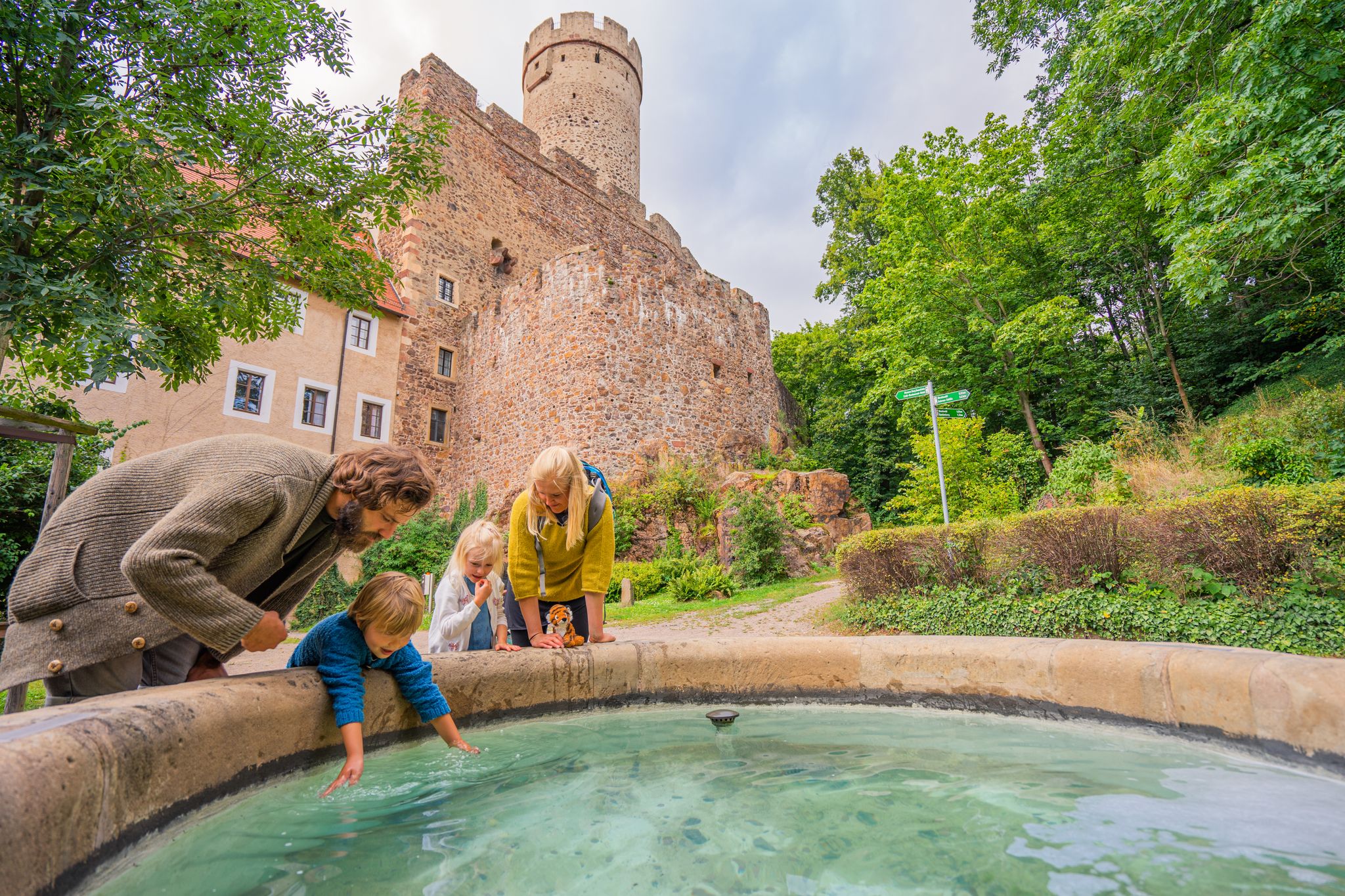
Time for little adventures – family hikes in the Leipzig region
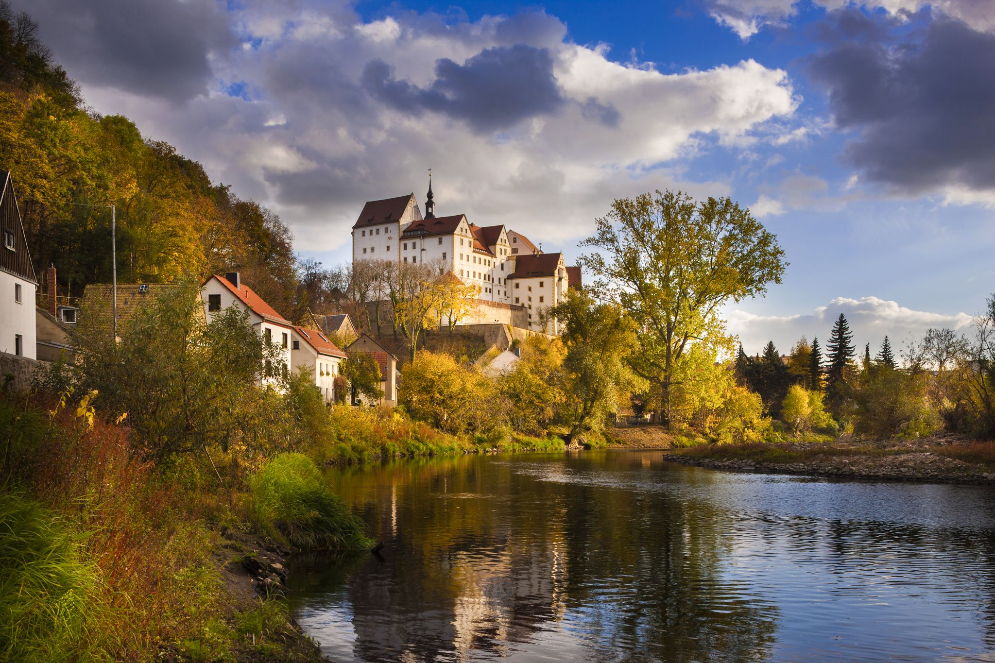
Experience art, culture and handicrafts – Germany’s Mulde Cycle Path
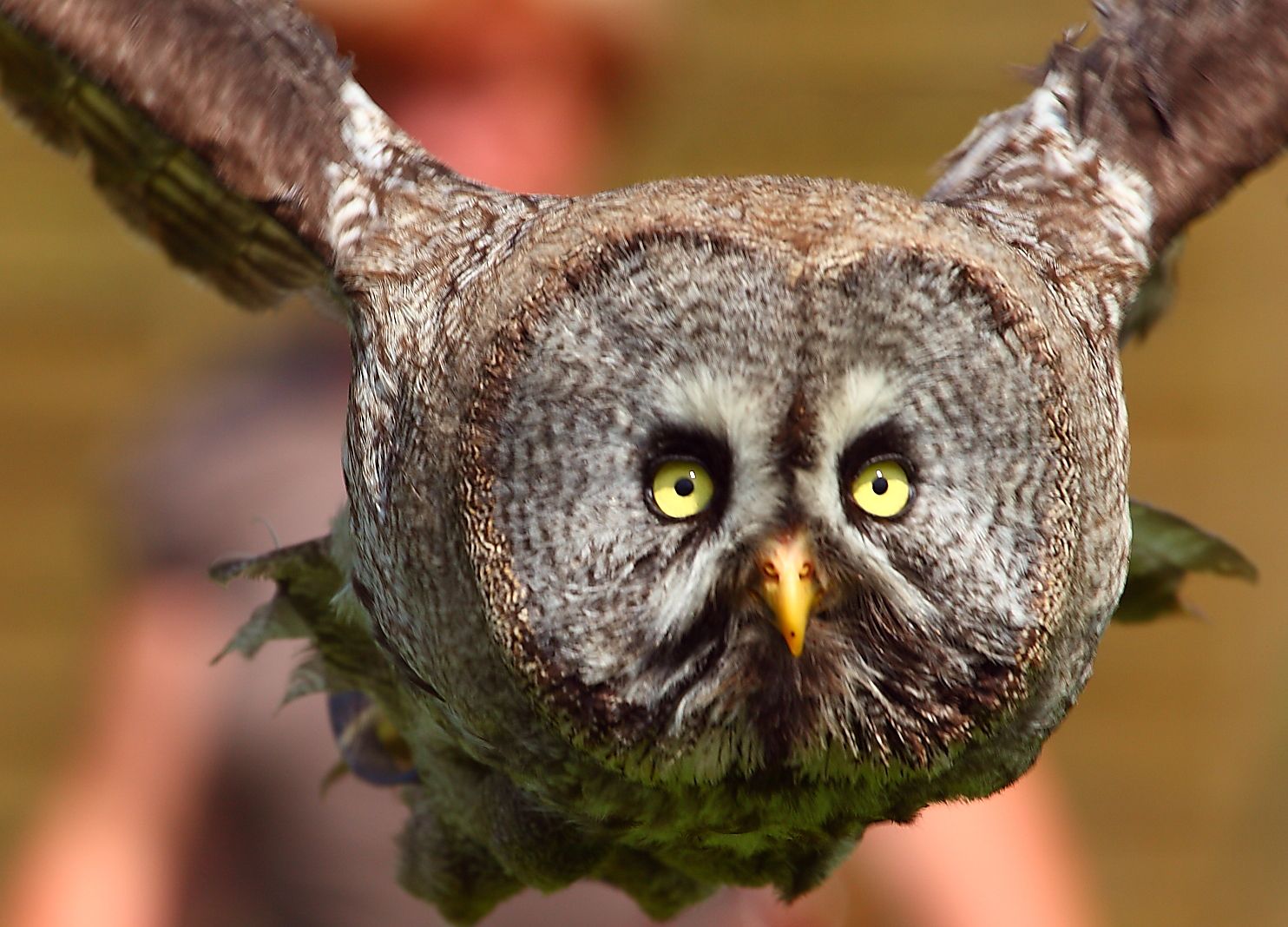
Wild horses, bears & falcons — meet wild animals by bus and train
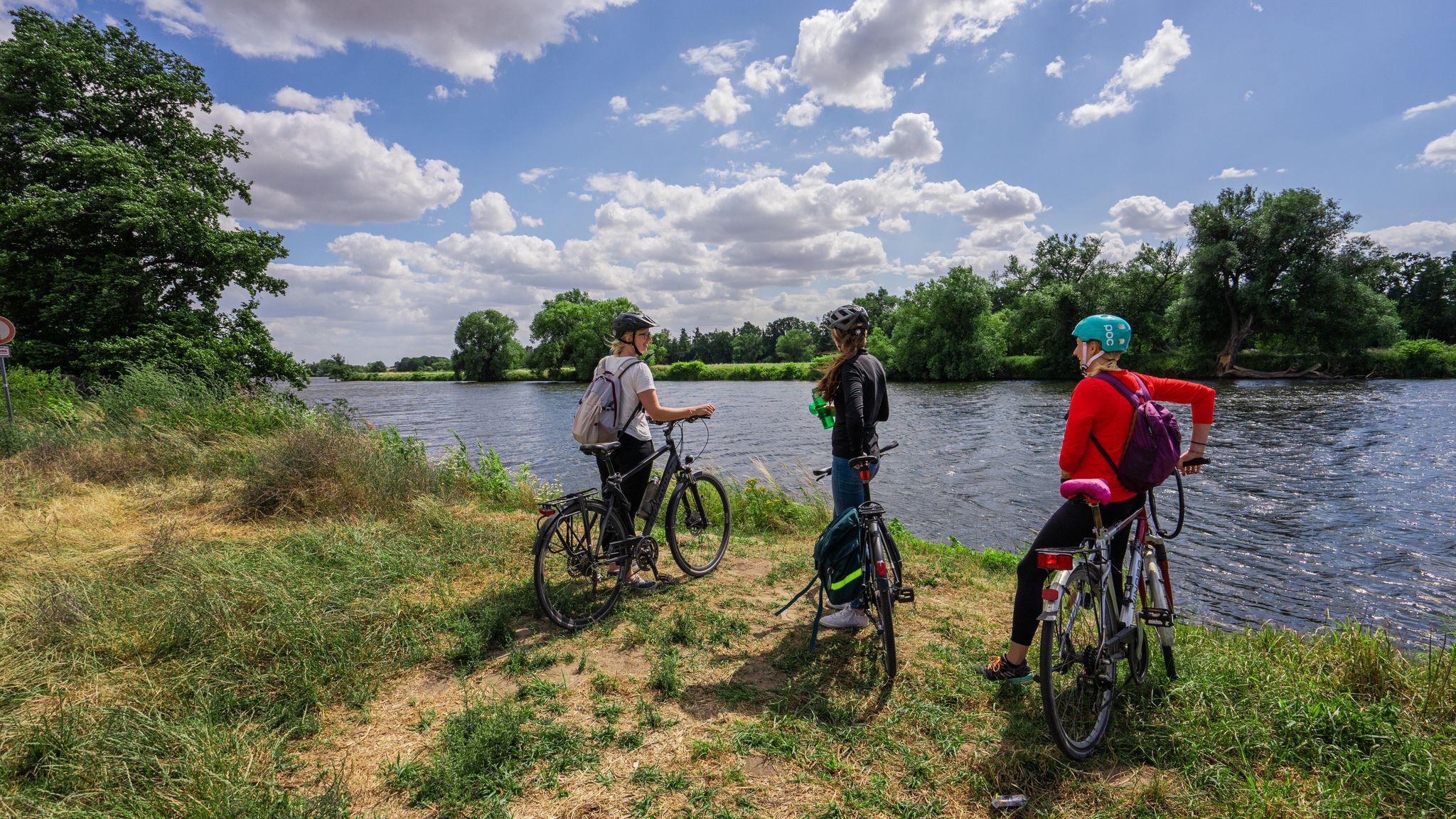
The Mulde Cycling Path
Cycling around Eilenburg
Hiking around Eilenburg
Road Cycling Routes around Eilenburg
Running Trails around Eilenburg
Gravel biking around Eilenburg
Other adventures around Eilenburg


Tips from the Community

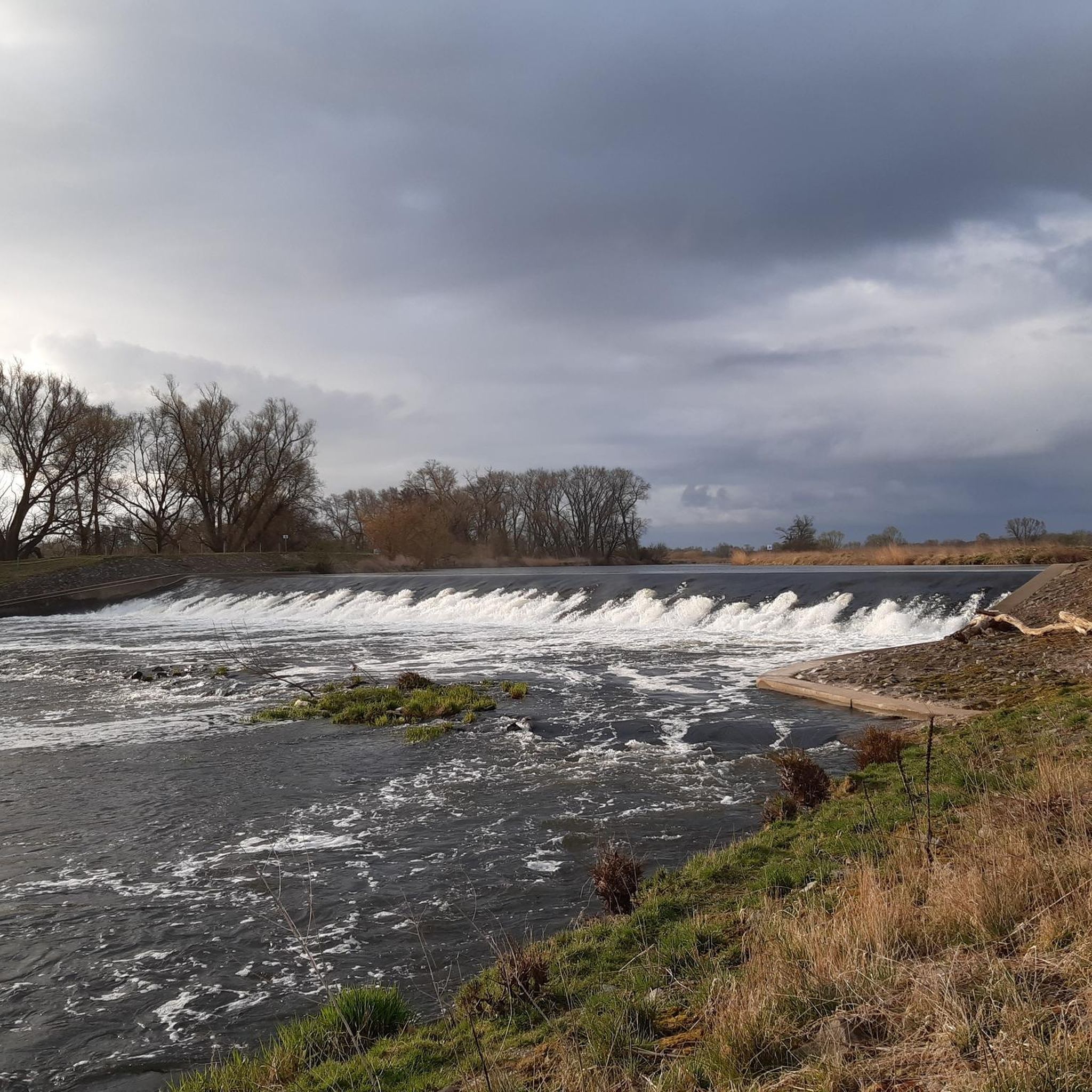
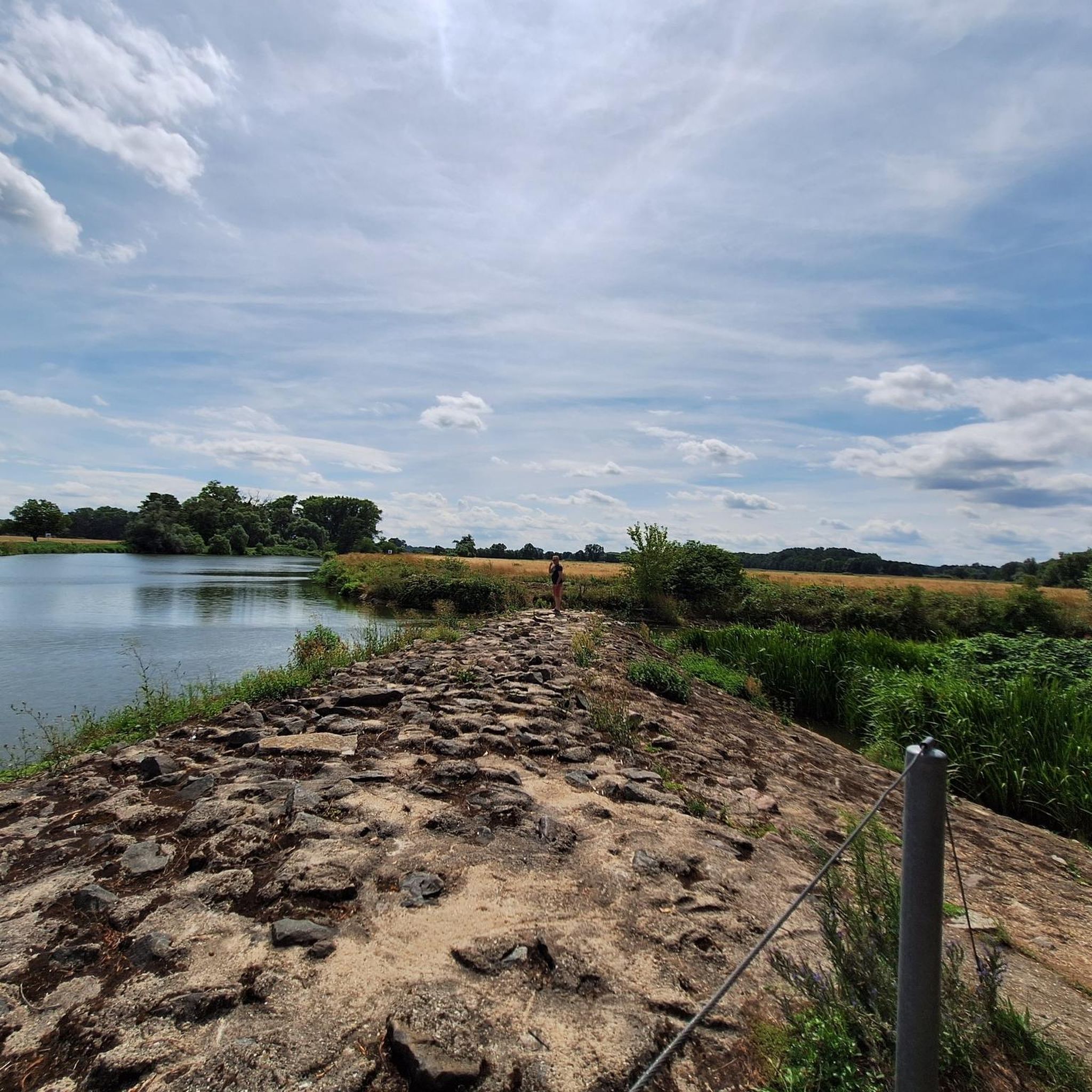
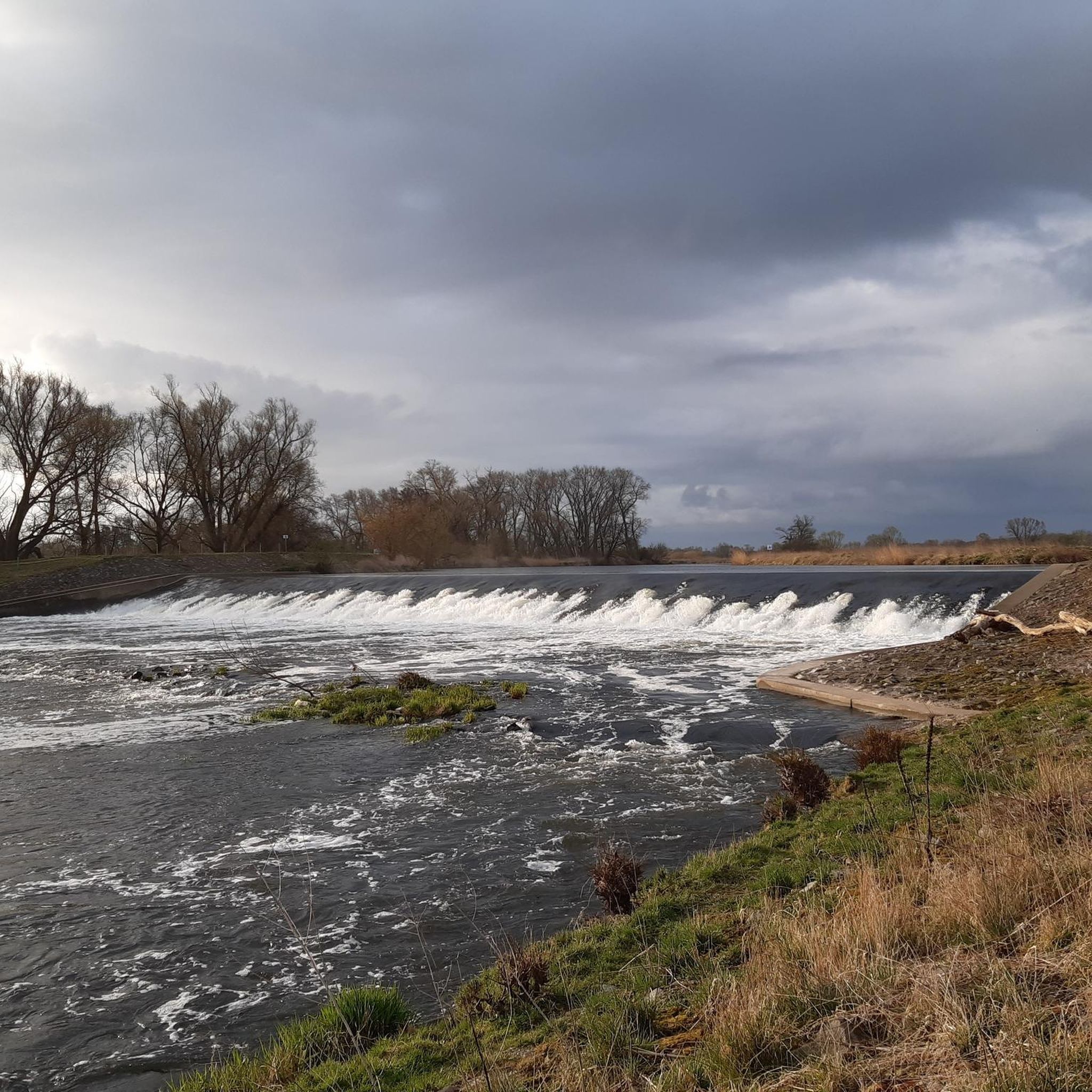
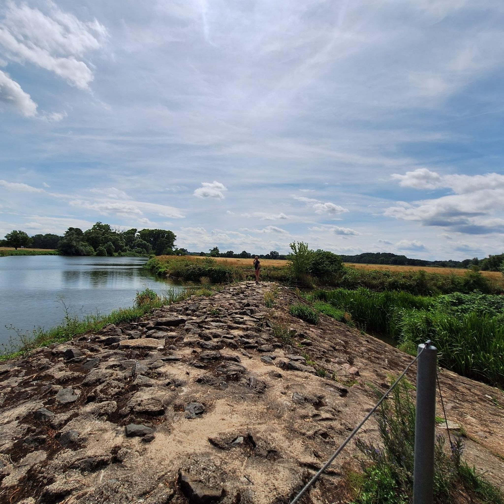
From the small bridge, you have a nice view over the water.
2
0
After its construction in 1916, the tower was used to supply process water for the celluloid factory. In 2002, the water tower was no longer needed for its original purpose; however, it has since served as a fire water reservoir for the industrial and commercial area. As part of species protection, 20 nesting sites for swifts were established in the tower shaft. Optically imperceptible antenna systems from mobile network operators are installed in the upper cylindrical shell.[2][3] Source https://de.wikipedia.org/wiki/Wasserturm_(Deutsche_Celluloid-Fabrik)
4
0
The structure shapes the silhouette of the city of Eilenburg with its height of 60.5 meters. The water tower was built in the Intze style. Ten reinforced concrete columns distributed around its circumference form the basic static structure.[4] Inside, the first staircase winds spirally over 184 steps along the tower wall and the columns up to the 54,000-liter waste butanol container. Below the cylindrical shell are oval and round windows, offering a wide view over the city, the former ECW site, and the Mulde floodplain. Another 117 steps of a spiral staircase lead to the lantern under the tower's spire.[2][3] Source https://de.wikipedia.org/wiki/Wasserturm_(Deutsche_Celluloid-Fabrik)
4
0
The water tower was built in 1915–1916 by the construction company Dykerhoff & Widmann AG (Dresden branch) as a process water reservoir and to stabilize the water pressure for the then Deutsche Celluloid-Fabrik, later Eilenburger Chemiewerk (ECW). The tower had three water tanks with a capacity of 1 × 1500 m³ and 2 × 500 m³. The tower was completed in 1916, and later rectification plants were installed in the tower shaft, with which water was again removed from the technical alcohol used in drying processes. In 1950, the first renovation of the water tower took place. In 2002/2003, the tower was extensively renovated again. The rectification plants were dismantled, the 500 m³ tank in the basement was adapted as a fire water reservoir for the neighboring industrial area and supplemented with modern pumping technology. The collapse-endangered, corrosion-affected reinforced concrete structure of the conical shell roof was replaced by a steel-wood construction, nesting sites were created, and antenna systems for mobile communications were installed. For the reception and transmission of the latter, several large slots have been milled and clad into the cylindrical outer wall below the roof.[1] The lantern was rebuilt on the ground and lifted onto the conical roof by a crane. This use of the tower justified its preservation and the total renovation costs of 1,597,500 euros. The planning was the responsibility of the engineering firm Röder (Doberschütz). The renovation measure, officially completed on February 24, 2004, was carried out by 18 ABM (employment program) workers, coordinated by the Leipzig employment office and the executing company Dr. Waldenburger GmbH.[2][3] Source https://de.wikipedia.org/wiki/Wasserturm_(Deutsche_Celluloid-Fabrik)
4
0
The water tower of the former Deutsche Celluloid-Fabrik (DCF) in Eilenburg is a 60.5-meter-high water tower built in 1916 for the industrial water supply of the former chemical plant. It is registered as a cultural monument in the state monument list as a building that shapes the cityscape and an outstanding example of industrial architecture in Eilenburg. Source https://de.wikipedia.org/wiki/Wasserturm_(Deutsche_Celluloid-Fabrik)
4
0
The Mulde flows exclusively in the North German Plain, initially through the Saxon Uplands, and passes Grimma, Nerchau, and Trebsen. Approximately near Wurzen, on the western edge of which it flows, the Mulde reaches the Elbe-Mulde Lowland. It then flows through Eilenburg and Bad Düben and shortly thereafter leaves Saxon territory. The remaining course to its mouth is covered by the Mulde in Saxony-Anhalt. Further downstream, until 1975, the Mulde flowed west of the two places Pouch and Friedersdorf in the area of today's Goitzschesee. Since then, it has been dammed up east of the two places in the Muldestausee – a former open-cast mine. Subsequently, the Mulde flows past Muldenstein, Jeßnitz, Raguhn, and Dessau and flows into the Elbe between Dessau and Roßlau after 147 km.[2] The revitalization project "Wilde Mulde" for the lower course in Dessau was recognized in November 2018 as an official project of the UN Decade of Biodiversity.[11][12] Source https://de.wikipedia.org/wiki/Mulde_(Fluss)#Hochwasser
4
0
Although the confluence of the two source rivers takes place at approximately half the total length of the Mulde, the Freiberger Mulde and Zwickauer Mulde already contribute over 80% of the total water volume. This is due to the shape of the catchment area, which is very wide in the Ore Mountains and narrows towards the Elbe, and also to the higher precipitation in the mountains and simultaneously higher proportion of runoff water. The shape of the catchment areas also means that the longer Zwickauer Mulde is the smaller of the two source rivers at the confluence. The hydrologically strongly dominating main branch of the Freiberger Mulde river system is the Zschopau. In its upper catchment area, it is again a named tributary, the Flöha, that contributes the larger water flow and is thus the actual source river of the Mulde. Along this main flow path, the Mulde is approximately 267 kilometers long, and along the longest flow path (Zwickauer Mulde) a good 314 kilometers.[3] The Mulde catchment area shows total drops of 600 to 900 meters for many important flow paths, so that exceptionally high flow velocities prevail here for Northern Germany. The Mulde is sometimes even referred to as the fastest flowing river in Central Europe.[10] Source https://de.wikipedia.org/wiki/Mulde_(Fluss)#Hochwasser
4
0
The Mulde, also known as Vereinte Mulde or Vereinigte Mulde, is a left-hand, non-navigable tributary of the Elbe. It is formed southeast of Leipzig near Sermuth (Saxony) by the confluence of two large headwaters, the longer Zwickauer Mulde and the Freiberger Mulde, which drains a larger catchment area with a greater discharge. The river's catchment area covers large parts of Saxony and, in particular, by far the largest part of the northern slopes of the Ore Mountains. With a water flow of approximately 73 m³/s at its mouth[8], it is the fourth largest tributary of the Elbe. The old name for the Mulde, Milda, is translated by linguists as "the water-rich one".[9] The word component Mel, referring to grinding, is sometimes associated with the name in view of the large number of mills previously operated on the river, which overlooks the fact that river names represent the oldest, often Slavic or Celtic, geographical name layer.
4
0
Frequently Asked Questions
What kind of mountain bike trails can I expect in Eilenburg?
Eilenburg offers a diverse range of mountain bike trails, from flowing gravel paths like the 'Gravel Wave' to more technical singletracks. You'll find routes with varying difficulties, from easy (S0-S1) to those requiring advanced skills (S2-S6), especially around the Kiesgrube Eilenburg area which features elements like berms, drops, and jumps. The terrain is shaped by the Mulde River Valley and rolling hills, providing varied landscapes.
Are there mountain bike trails suitable for beginners or families in Eilenburg?
Yes, Eilenburg has trails suitable for beginners and families. For instance, the Joachim Ringelnatz Fountain, Wurzen Market Square – Thallwitz Castle loop from Eilenburg Ost Bk Hp is an easy route. The region's mixed forests and meadows also offer gentler paths. The 'Kleine Heide' nature trail, while primarily for hiking, indicates the presence of accessible natural areas that can be explored by bike on easier sections.
Where can I find trails with good views in Eilenburg?
For panoramic views, the Muldenaue near Eilenburg – Mulde River in Eilenburg loop from Eilenburg offers scenic riverside views along the Mulde River. Additionally, the Eilenburger Berg provides extensive panoramic views over the entire region, stretching to the Leipzig Lowland Bay, from its observation tower, making it a great destination to include in a ride.
Are there any circular mountain bike routes in Eilenburg?
Yes, many of the mountain bike routes in Eilenburg are designed as loops. Popular options include the Presseler Pond – Wooden Bridge in Dübener Heide loop from Eilenburg Ost, which takes you through the Dübener Heide, and the Mulde River in Eilenburg – Mulde Bridge, Eilenburg loop from Eilenburg, which explores the Mulde River Valley.
What are some natural attractions or landmarks I can see along the mountain bike trails in Eilenburg?
The trails often lead through the picturesque Mulde River Valley, known for its natural and intact river landscape, vast floodplains, and diverse birdlife. You might also encounter the prominent Eilenburger Berg with its observation tower. For specific points of interest, consider routes that pass by highlights such as Pond at the Former MiMo Factory or Staditzteich South Shore with Rest Area.
Are there any castles or historical sites accessible by mountain bike near Eilenburg?
Yes, the region around Eilenburg features several historical castles that can be incorporated into your mountain bike tours. Notable examples include Machern Castle, Püchau Castle, and Thallwitz Castle. These offer interesting stops and add a cultural dimension to your ride.
What is the best time of year for mountain biking in Eilenburg?
The Eilenburg region is generally suitable for mountain biking throughout much of the year, with spring, summer, and autumn offering pleasant conditions. During these seasons, the mixed forests and river landscapes are particularly inviting. It's advisable to check local weather conditions, especially after heavy rain, as some trails, particularly in floodplains, might become muddy.
Is there parking available near the mountain bike trailheads in Eilenburg?
Yes, parking is generally available in and around Eilenburg, particularly near common starting points for outdoor activities. Specific parking information for individual trailheads can often be found on detailed route descriptions or local maps. For example, routes starting from 'Eilenburg Ost' or 'Eilenburg' typically have accessible parking options nearby.
Can I reach the mountain bike trails in Eilenburg using public transport?
Eilenburg is connected by public transport, making it possible to access some trailheads without a car. The town's train station and bus stops can serve as starting points for various routes. For instance, routes starting from 'Eilenburg Ost Bk Hp' (train station) are directly accessible via public transport.
What do other mountain bikers say about the trails in Eilenburg?
The mountain bike trails around Eilenburg are highly regarded by the komoot community, with an average rating of 4.7 stars from over 40 reviews. Many riders praise the varied terrain, the scenic beauty of the Mulde River Valley, and the well-maintained paths that cater to different skill levels.
Are there any cafes or restaurants along the mountain bike routes in Eilenburg?
While specific cafes directly on every trail might be limited, Eilenburg town center and surrounding villages offer various options for refreshments and meals. Many routes pass close enough to populated areas where you can find cafes and restaurants to refuel during or after your ride.
Are mountain bike trails in Eilenburg dog-friendly?
Many natural areas and trails in Eilenburg are generally dog-friendly, especially if dogs are kept on a leash. However, specific rules can vary, particularly in nature reserves or protected areas like parts of the Mulde River Valley, which is a haven for birdlife. It's always best to check local signage and respect wildlife, especially during nesting seasons.
Most popular routes around Eilenburg
Most popular attractions around Eilenburg

Get inspired with the komoot mobile app


Explore more
Browse the best MTB trails in other regions.
