The 11 Most Amazing Peaks around Königs Wusterhausen
Best mountain peaks around Königs Wusterhausen are found in a region largely characterized by its flat terrain, with the town itself having an average elevation of 44 meters. While traditional mountain peaks are absent, the area offers numerous elevated points and hills within its natural landscape of picturesque lakes and dense forests. Königs Wusterhausen is situated at the edge of the Dahme-Heideseen Nature Park, providing accessible locations for outdoor activities. These spots are valued for their recreational opportunities amidst tranquil…
Last updated: July 6, 2026
Kranichsberg Observation Tower
Highlight • Viewpoint
Information on opening hours and prices can be found here: woltersdorf-schleuse.de/seite/130419/aussichtsturm.html.
Translated by Google •
Tip by

Großer Müggelberg – Highest Natural Point in Berlin
Highlight • Summit
Translated by Google •
Tip by

Sign up now to discover places like this
Get recommendations on the best single tracks, peaks, & plenty of other exciting outdoor places.
Sign up for free
Müggel Tower
Highlight • Viewpoint
Translated by Google •
Tip by

Trails to Berlin's highest hill (Müggelberg)
Highlight • Trail
Translated by Google •
Tip by

Kahler Berg Summit
Highlight • Summit
Translated by Google •
Tip by

Sign up for free to discover even more peaks around Königs Wusterhausen.
Sign up for free
Already have an account?
Start today with a free account
Your next adventure awaits.
Login or Signup
Popular around Königs Wusterhausen
Hut or cask, tent or room – two-day hiking with the S-Bahn
On the trail of the Sphinx - The Fontane hiking trail in Dahme-Seenland
Where the Hohenzollerns worked — searching for traces with the S-Bahn
Hike Theodor Fontane’s beloved Brandenburg – S-Bahn Berlin
Hiking the Paul Gerhardt Path in the Dahme-Seenland
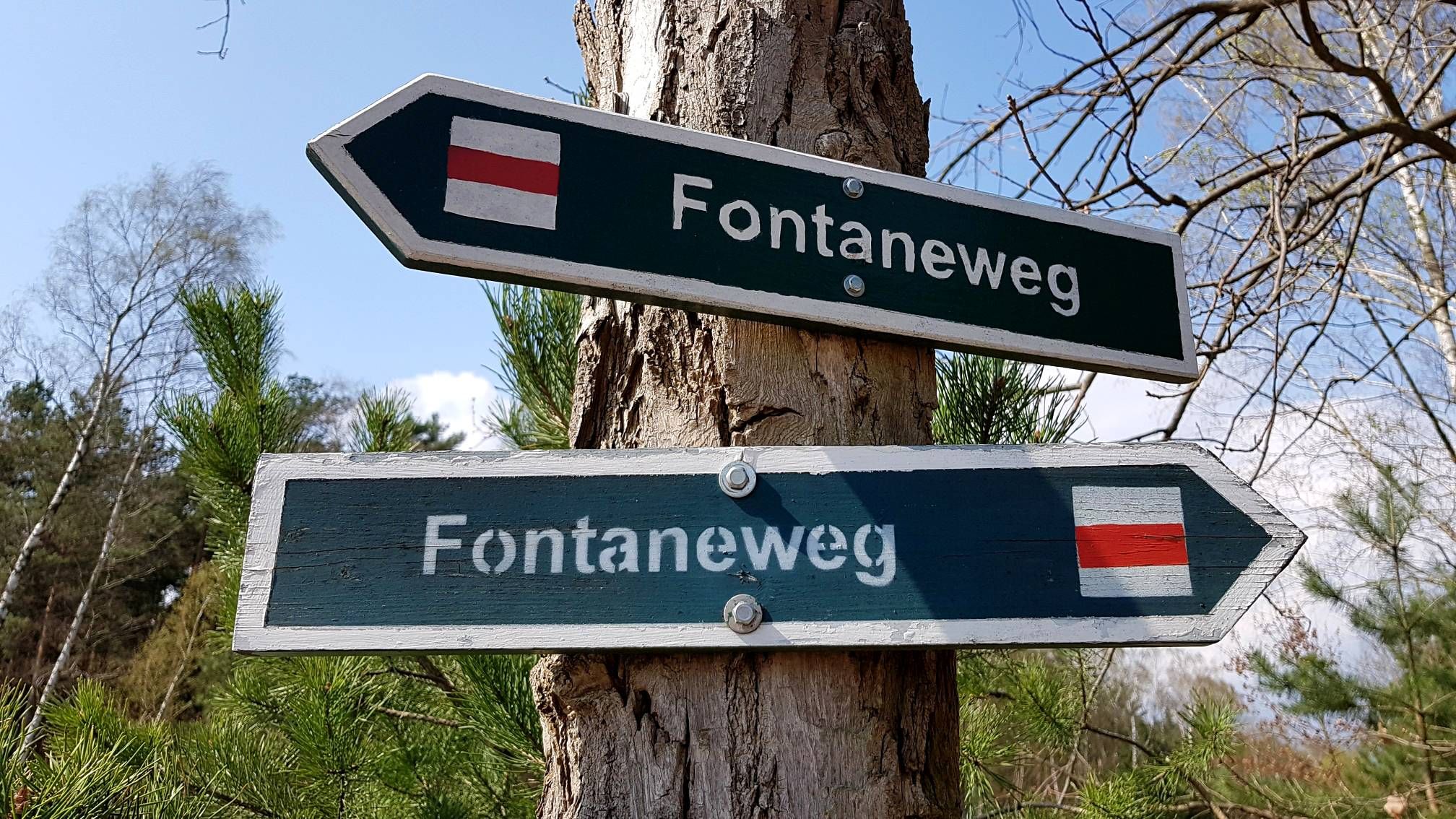
200 years - 200 km: On the long Fontaneweg trail from Köpenick to Potsdam
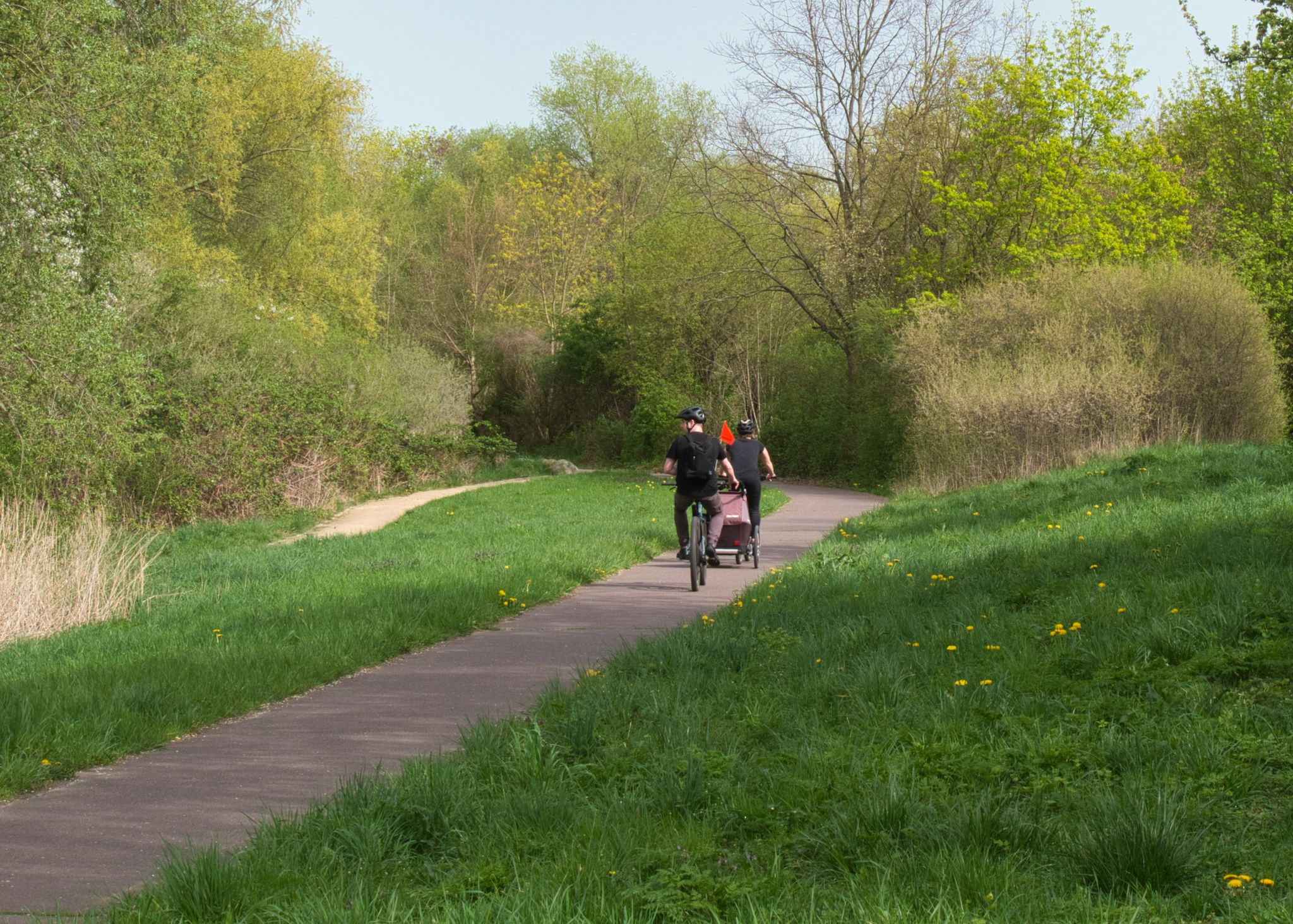
Tourentipps des ADFC Berlin - mit S- oder U-Bahn erreichbar
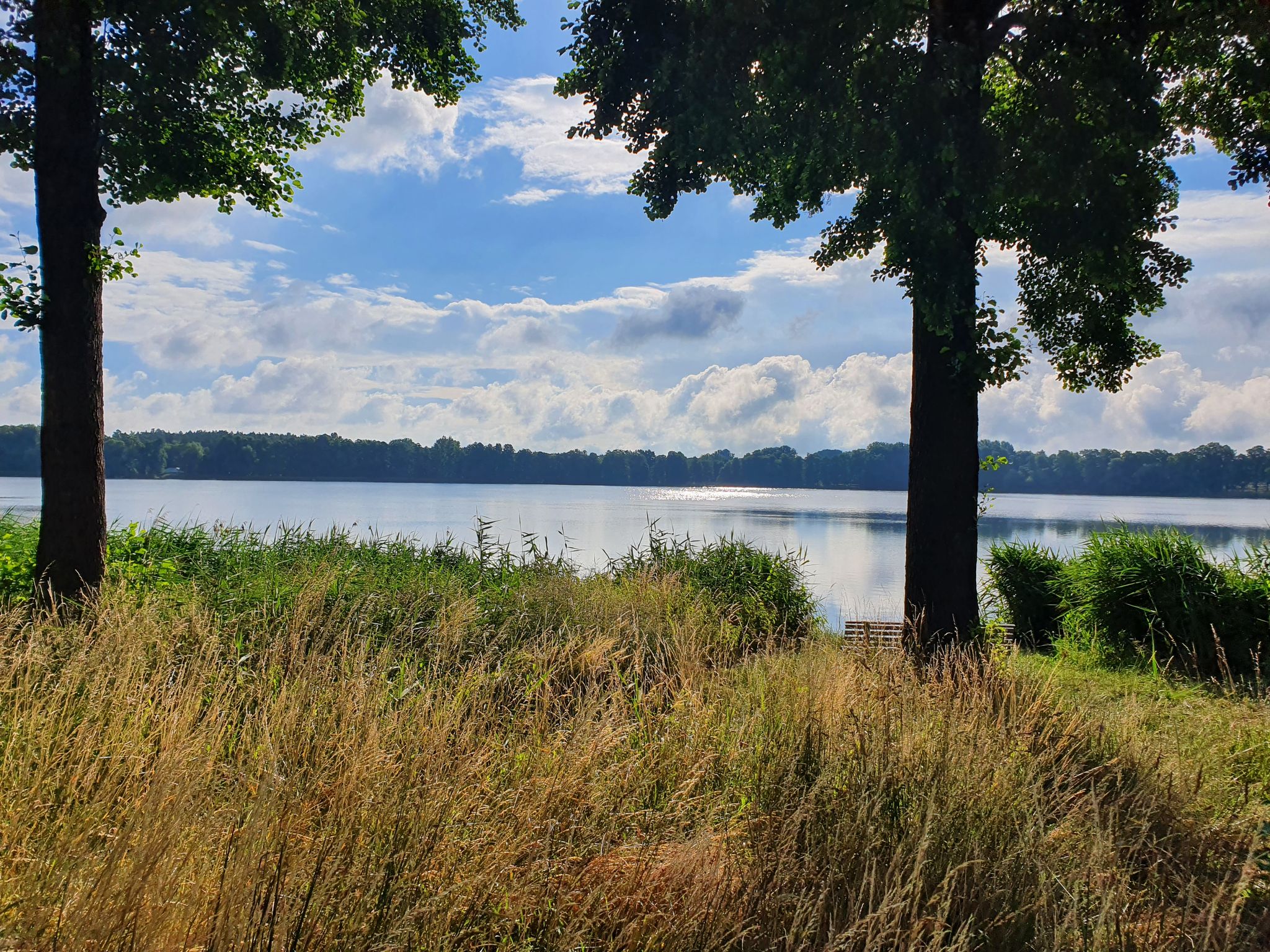
Minibadehosen – Radeln und Plantschen im Dahme-Seenland
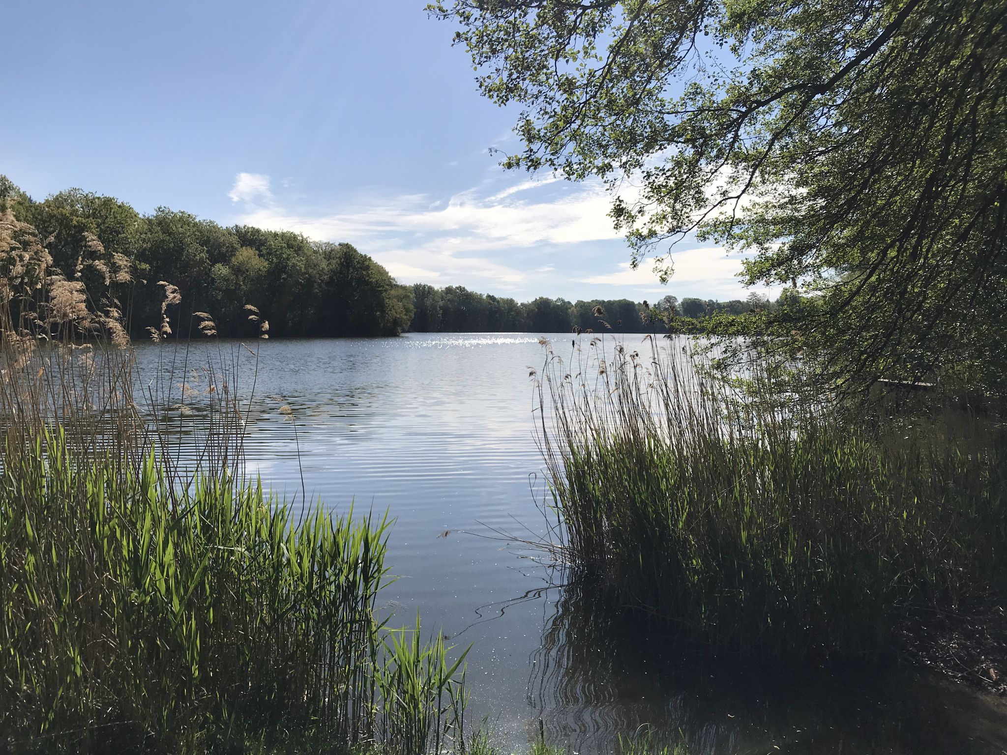
Dahme-Seenland - Rundwanderungen mit Badegarantie
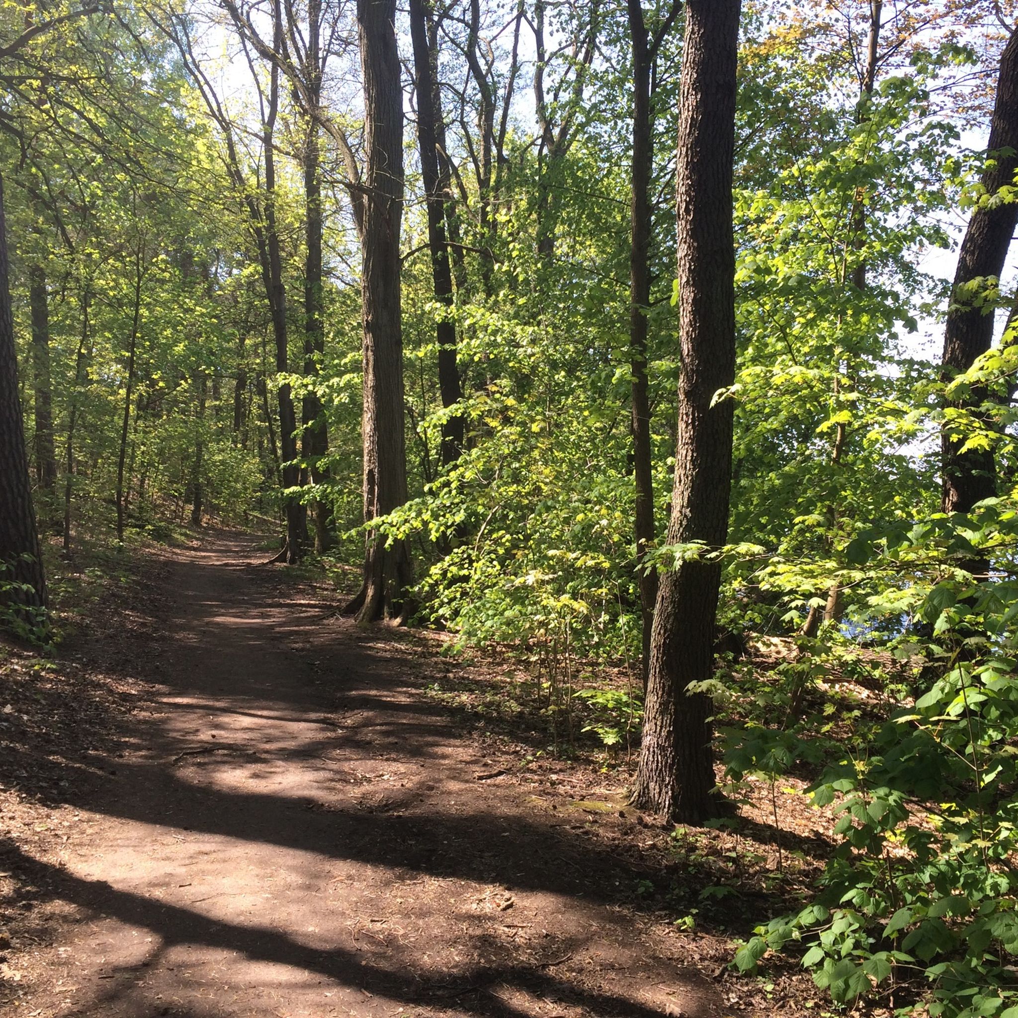
Hiking around Königs Wusterhausen
Other adventures around Königs Wusterhausen


Tips from the Community

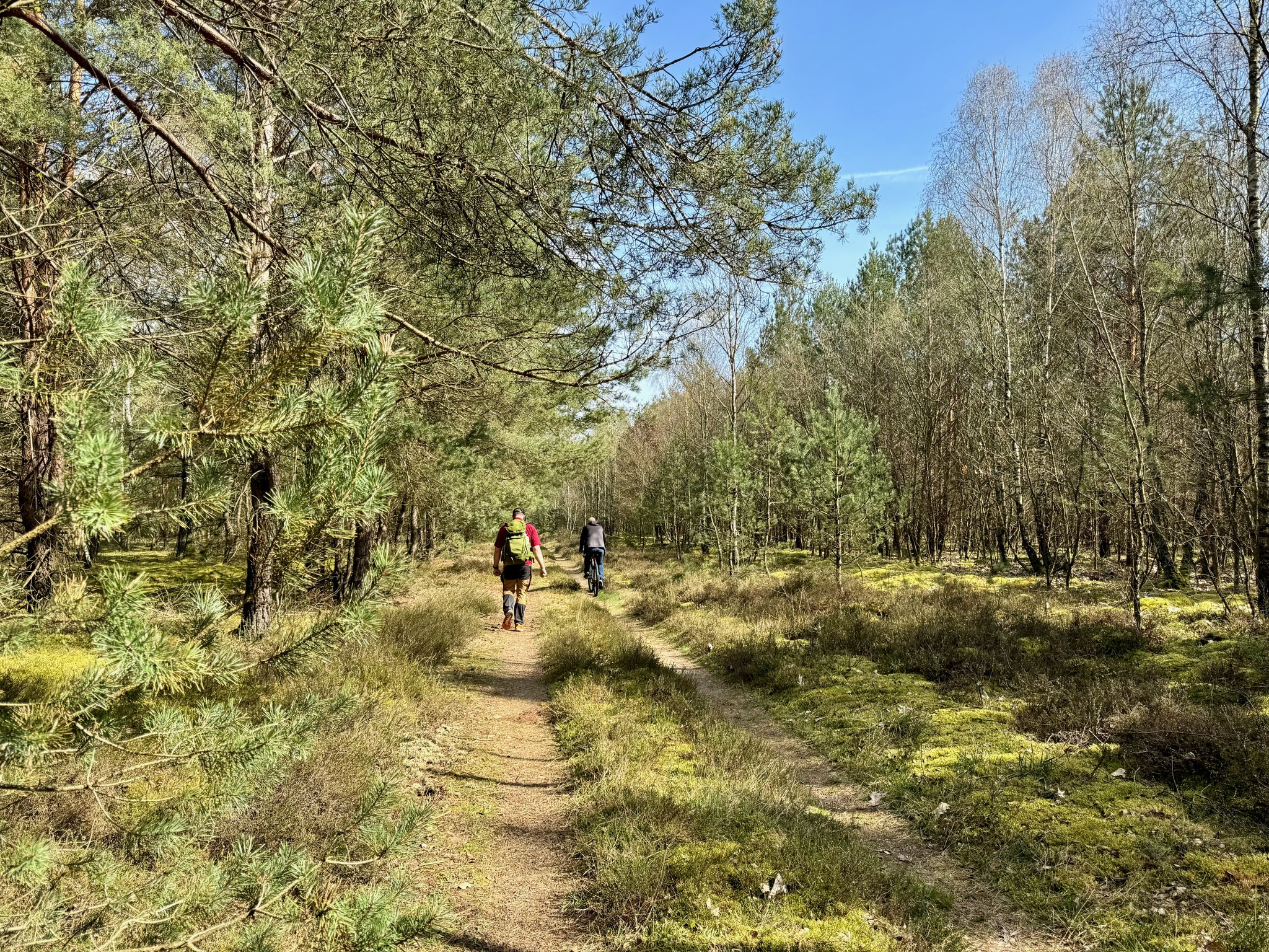
Adventurous hiking trails. In autumn, the forest and its paths glow golden yellow and copper. Beautiful.
0
1

There are various trails up and down here! Watch out for oncoming traffic!
0
0

The Kahle Berg is 86 m high above sea level and is covered with pine trees. There are 2 lines of sight to the Motzener See and the Töpchiner See.
0
0

Here you can really criss-cross. But be careful not to get run over by a mountain biker.
2
0

If you want to climb the Top-of-Germany 16-Summits, you cannot avoid the Großer Müggelberg. Ultimately, as part of this challenge, it is important to climb the highest elevation of all 16 federal states and the Müggelberg is the highest natural elevation in Berlin. Logically, high alpine terrain is not to be expected, but you can approach the summit on different paths and from different sides and it can be a bit steeper in the middle of Berlin. The summit itself is located in the middle of the forest and offers no view as the trees around it are too high. But there is a summit cross that shows the correct position. If you are looking for a view, you have to go to and on the nearby, reopened Müggelturm. A worthwhile detour from the summit leads to the foot of the Müggelberg. The path is lined with numerous information boards and when you arrive at the bottom you can visit the Teufelsmoor on safe wooden walkways and keep an eye out for the animals and insects that live there.
10
1

It is no longer really bare, but two lines of sight still offer an opportunity to look out
0
0

You can hike around the small Kahler Berg in approx. 4 km. From above you can see the Motzener See through a forest aisle.
2
0

Very beautiful here. We recommend.
1
3
Frequently Asked Questions
What kind of "mountain peaks" can I expect around Königs Wusterhausen?
The Königs Wusterhausen region is largely flat, so you won't find traditional towering mountain peaks. Instead, the "peaks" refer to elevated points, hills, and observation towers that offer scenic views and recreational opportunities. These are often found within picturesque landscapes of lakes and dense forests, particularly at the edge of the Dahme-Heideseen Nature Park.
Where can I find the highest natural elevation in the broader Königs Wusterhausen area?
The highest natural elevation in the broader region is the Großer Müggelberg – Highest Natural Point in Berlin, standing at 114.7 meters. While the summit itself is forested and doesn't offer direct views, the surrounding area features many small trails perfect for discovery. You can also find the Großer Müggelberg Summit Cross marking this point.
Are there any observation towers offering panoramic views?
Yes, the Kranichsberg Observation Tower is a historical landmark providing views over the Flakensee, Müggelsee, and even towards the Berlin TV tower. Another excellent option is the Müggel Tower, which offers wide views over Berlin and the surrounding natural areas, and includes a snack bar.
What is the Kahler Berg Summit like?
The Kahler Berg Summit reaches 85 meters and features a transmission tower and a rest area with benches. While the forest has grown tall, limiting panoramic views, two straight pathways still offer small sections with a view. It's a good starting point for a hike from Motzen, leading through a quiet pine forest.
What kind of hiking trails are available near Königs Wusterhausen?
The region offers a variety of hiking trails, from easy lakeside paths to more moderate forest routes. You can explore areas like the Sutschketal Nature Reserve with its diverse flora and fauna, or enjoy circular hikes around lakes such as Lake Zeesen. For more options, check out the Hiking around Königs Wusterhausen guide.
Are there easy or family-friendly hiking options?
Absolutely. Many trails around Königs Wusterhausen are suitable for families and beginners. For example, the easy hike around Lake Zeesen passes through the Tiergarten nature reserve, offering fresh air and views. The Easy hikes around Königs Wusterhausen guide provides several accessible routes, including the Krummer Lake – Lakeside Path with View.
Can I go cycling near these elevated points?
Yes, the area around Königs Wusterhausen is also popular for cycling. There are numerous routes that take you through forests and along lakes, offering a different perspective of the landscape. You can find various options in the Road Cycling Routes around Königs Wusterhausen guide.
What natural features are prominent in the region?
The region is characterized by its rich natural landscape, including numerous picturesque lakes like Lake Zeesen and the Krummer See, and dense forests. The Sutschketal Nature Reserve is a notable area with diverse habitats, from wet meadows to dry oak forests, making it ideal for observing local flora and fauna.
What is the best time of year to visit Königs Wusterhausen for outdoor activities?
Spring is particularly appealing when nature is in bloom, offering vibrant scenery for hikes around the lakes and through the forests. Summer provides warm weather for water-based activities and longer days for exploration. Autumn brings beautiful foliage, while winter can offer tranquil, crisp conditions for walks, though some services might have reduced hours.
Are there any historical sites or cultural points of interest related to these elevated areas?
The Kranichsberg Observation Tower is a historical landmark that also houses an exhibition on the development of German film at the Woltersdorf location. The area around the Müggelberge, including the Großer Müggelberg, also has a history of reforestation efforts by local industrialists, shaping the landscape we see today.
What do visitors enjoy most about the elevated points and natural areas around Königs Wusterhausen?
Visitors appreciate the tranquil natural surroundings, the accessibility of the paths for walking and cycling, and the opportunities for recreation amidst forests and lakes. The various observation towers are highly valued for their panoramic views, offering a unique perspective of the region's diverse landscape.
Most popular routes around Königs Wusterhausen
Most popular attractions around Königs Wusterhausen

Get inspired with the komoot mobile app


Explore more
See even more amazing summits around Königs Wusterhausen with these guides:
