The 13 Most Amazing Peaks around Lohr am Main
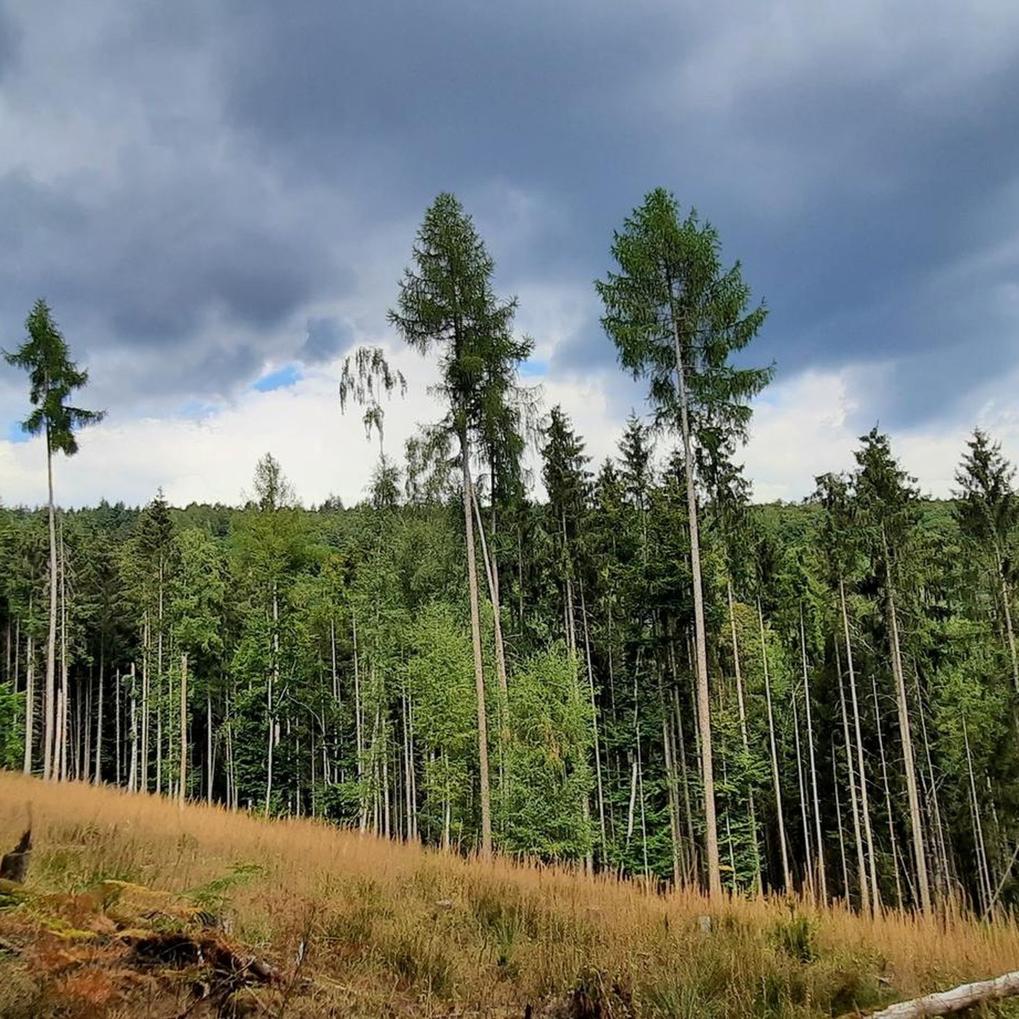
Best mountain peaks around Lohr am Main are situated at the eastern edge of the Spessart forest, providing access to numerous hiking trails. The region's prominent mountain peaks are primarily found within the larger Spessart Nature Park. These elevations offer rewarding hikes, historical insights, and panoramic views of the surrounding forested landscape. The area is characterized by expansive, dense forests, rolling hills, and picturesque river valleys.
Best mountain peaks around Lohr am Main
- The most popular mountain peaks is Geiersberg…
Last updated: July 7, 2026
Klosterkuppel (552 m) – Highest Point in Main-Spessart
Highlight • Summit
Translated by Google •
Tip by

Geiersberg Summit
Highlight • Summit
Translated by Google •
Tip by

Sign up now to discover places like this
Get recommendations on the best single tracks, peaks, & plenty of other exciting outdoor places.
Sign up for free
Hermannskoppe Summit (567 m)
Highlight • Summit
Translated by Google •
Tip by

Erkelshöhe – Highest Point of Wiesen
Highlight • Summit
Translated by Google •
Tip by

Breitsol Transmitter on Geiersberg
Highlight • Monument
Translated by Google •
Tip by
Sign up for free to discover even more peaks around Lohr am Main.
Sign up for free
Already have an account?
Start today with a free account
Your next adventure awaits.
Login or Signup
Popular around Lohr a. Main
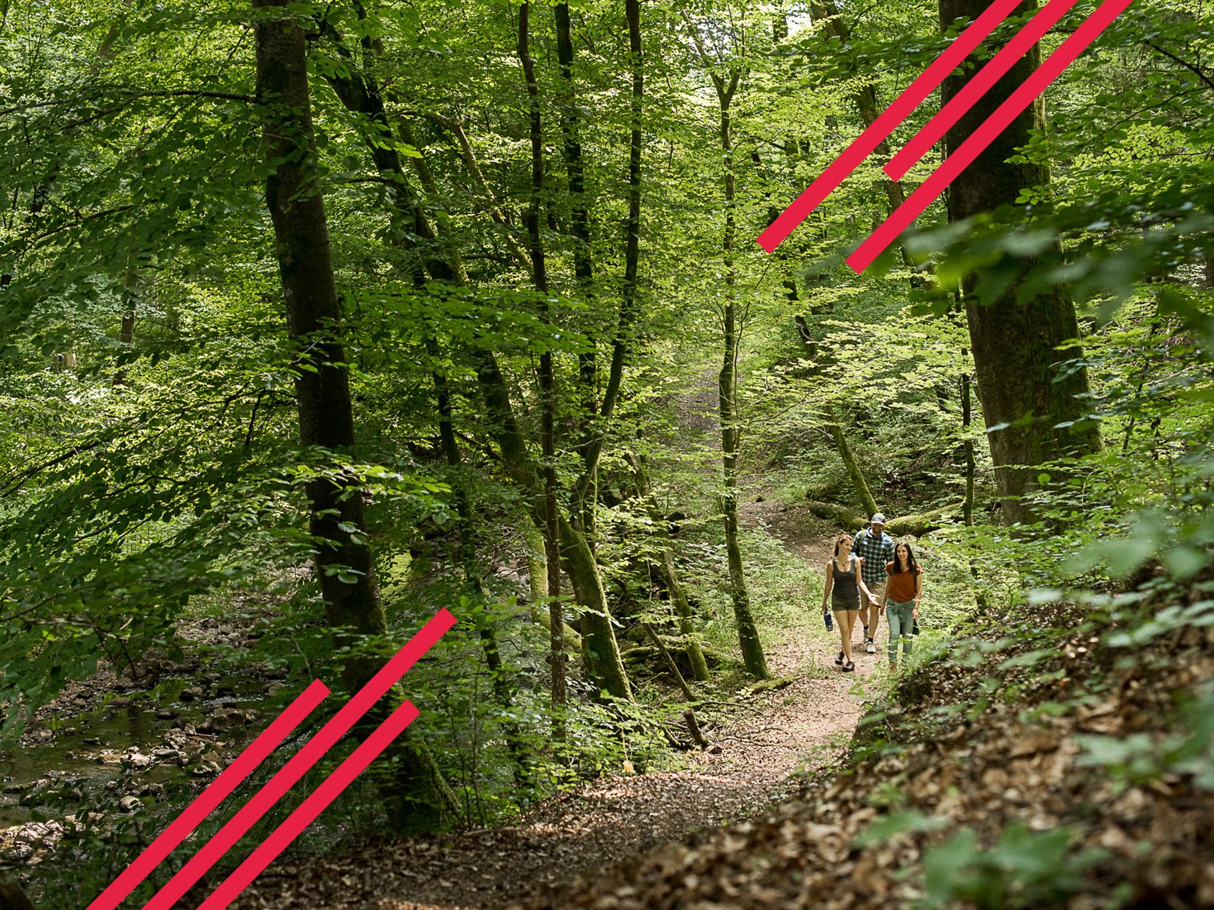
Germany's Spessart Trail – Free as a bird
Relaxed hiking in the Spessart – short trails of discovery
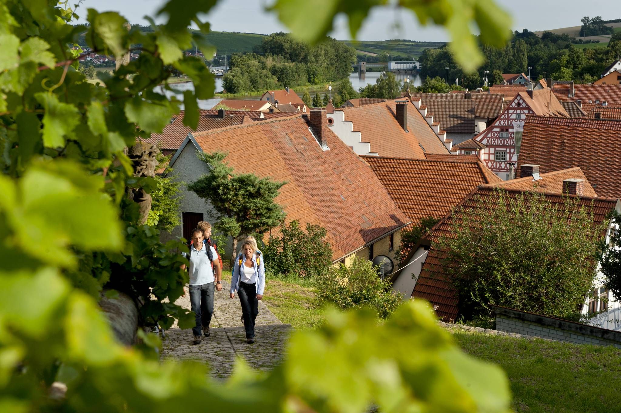
Relaxed hiking – day trips in the Fränkische Weinland
Wandern auf dem Spessartweg 1
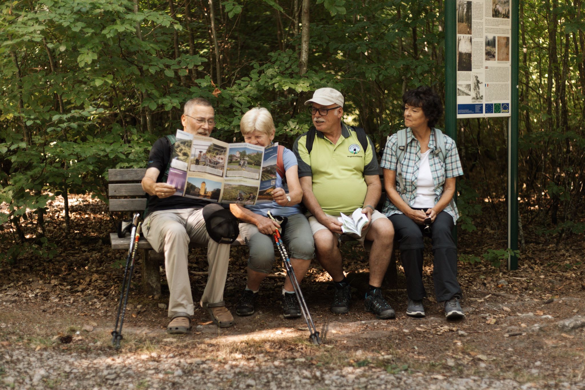
Europäische Kulturwege zwischen Frammersbach und Lohr a.Main
Cycling around Lohr am Main
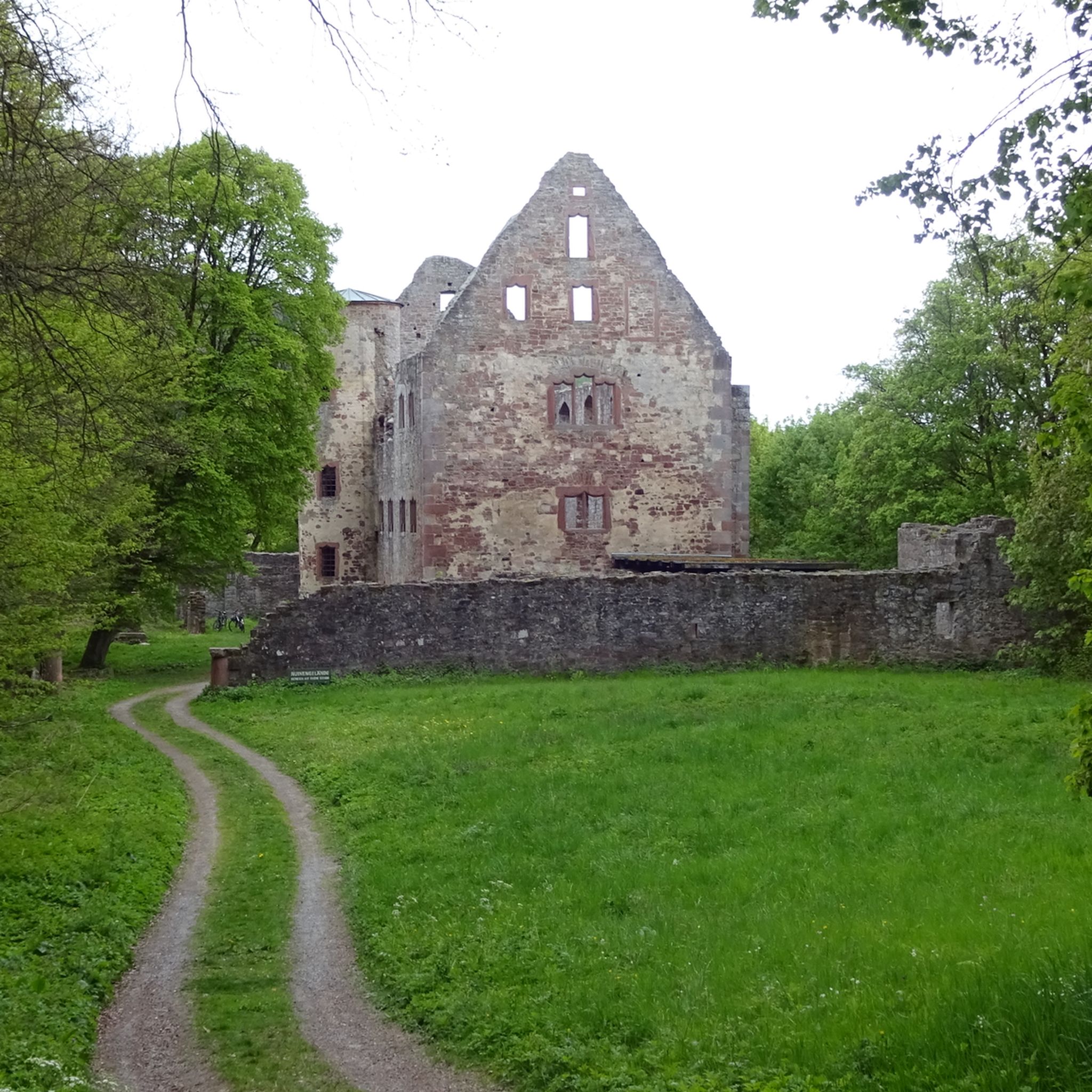
Hiking around Lohr am Main
MTB Trails around Lohr am Main
Road Cycling Routes around Lohr am Main
Running Trails around Lohr am Main
Other adventures around Lohr am Main


Tips from the Community

The Erkelshöhe (historically: Mertel) is a 517 m above sea level. NHN high mountain in the Spessart in the Bavarian district of Aschaffenburg and in the Hessian Main-Kinzig district in Germany. The Erkelshöhe lies between the towns of Wiesen and Flörsbach. The state border runs across the summit between the municipality of Flörsbachtal (Hesse) and the unincorporated area of Wiesener Forst (Bavaria). In the southeast, the Erkelshöhe goes flat to the Sauberg (454 m). Both mountains belong to the Sailhöhe ridge stretching towards Wiesthal. West of the summit, about a kilometer away, is the village of Wiesen im Aubachtal; on the south-eastern slopes is the town of Mosborn on the upper reaches of the Laubersbach. North of the mountain are the Wiesbüttsee and the Wiesbüttmoor. The Franconian Marienweg leads over the Erkelshöhe. Source: Wikipedia
3
0

Small waterhole set in sandstone
11
2
Nice idea .. nicely done ... cared for and cared for ... so everything in the countryside
13
0
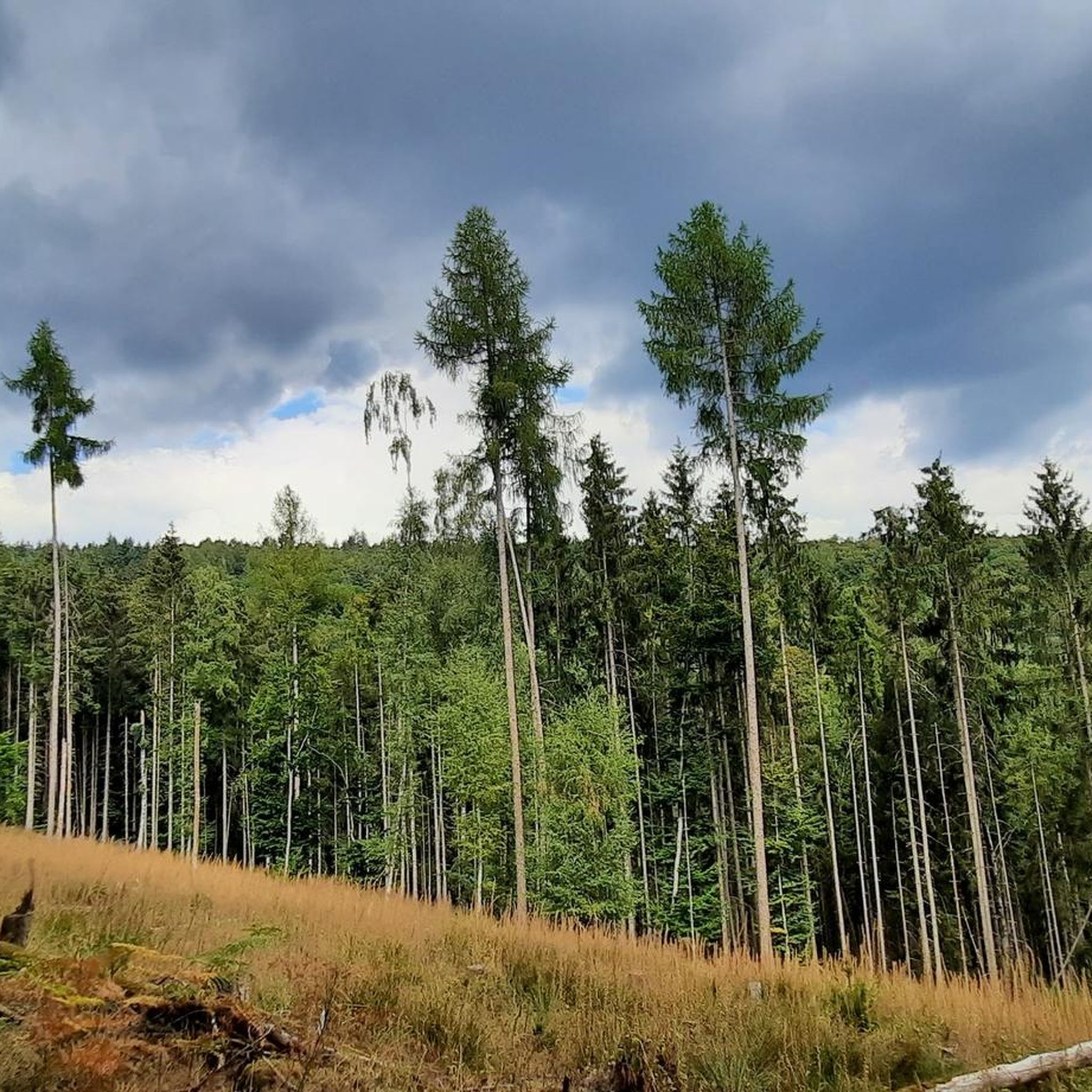
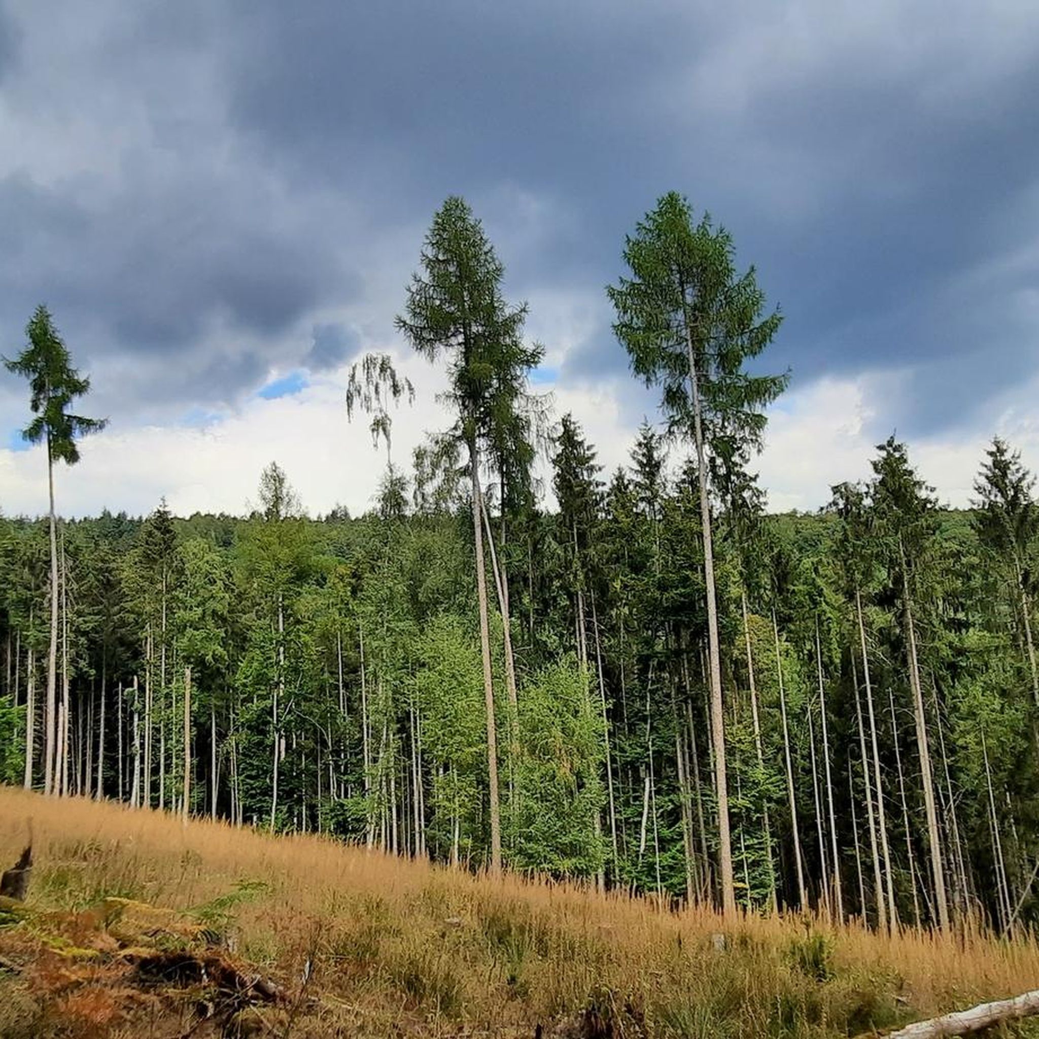
At 567 m, the Hermannskoppe is the highest mountain in the Hessian part of the Spessart in the Main-Kinzig district and the fourth highest mountain in the Spessart. Its summit is in the district of Lohrhaupten. The mountain was partially deforested by Hurricane Kyrill in January 2007. Source: Wikipedia
5
0
The Geiersberg, also called Breitsol, is 586 m above sea level. NHN the highest mountain in the Spessart. It lies between Bischbrunn and Weibersbrunn in the Bavarian districts of Main-Spessart and Aschaffenburg. The Breitsol transmitter is located on the wooded mountain. The summit region is dominated by two transmission towers of the Breitsol transmitter located on the south-southwest hill in the hamlet of Breitsol in the municipality of Bischbrunn. The higher of the two towers is designed as a hybrid tower and is 124 m high. Its substructure is a free-standing steel framework tower; its superstructure, also made of steel framework, is braced with steel cables. Until December 2008 it carried a 7 ton TV transmitter in a GRP cylinder. The lower tower is free. Until the switch to DVB-T on November 25, 2008, ZDF and Bayerisches Fernsehen (Franconia) were broadcast from there in analogue PAL. The program Das Erste (BR) came from the Pfaffenberg transmitter near Aschaffenburg, which also broadcasts radio programs. Since November 25, 2008, DVB-T has been available for the Spessart from Pfaffenberg. The Geiersberg site has been shut down with regard to radio broadcasts. About 300 m north of the transmitter, about 20 m west of the service road that runs there, there are three old concrete foundations in the forest, which may have belonged to an earlier military transmission tower or mast. Source: https://de.wikipedia.org/wiki/Geiersberg_(Spessart)#Sender_Breitsol
4
0

Nearby is a place to stop at the Bavarian Schantz
4
0

If you hike on the Schneewittchen-Weg, you pass the Erkelshöhe as the last of seven mountains over which Snow White reached the seven dwarfs. Because you are already moving in the Hochspessart, the Erkelshöhe is hardly noticeable. That is why it is very helpful to point out from the Wiesen hiking club "Falkenjah" that you are at the highest point of the Wiesen municipality.
2
0

At 586 m above sea level NN the Geiersberg is the highest point in the Spessart. Bench, summit cross and summit book invite you to linger 👍🏼
5
0
Frequently Asked Questions
What are some of the most notable mountain peaks to visit around Lohr am Main?
The region offers several distinct peaks. The highest point in the Spessart is Geiersberg Summit, standing at 586 meters. For those seeking the highest point within the Main-Spessart district, Klosterkuppel (552 m) is a popular choice. Another significant peak is Hermannskoppe Summit (567 m), known for its blend of nature and historical context.
What kind of views can I expect from the mountain peaks in the Spessart region?
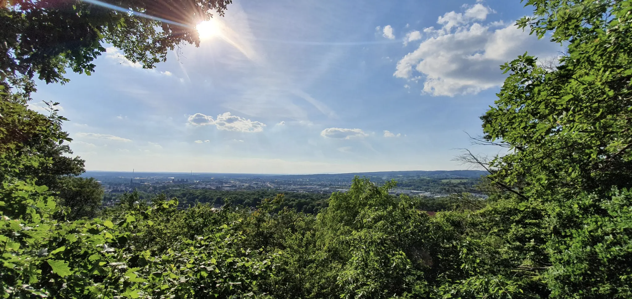
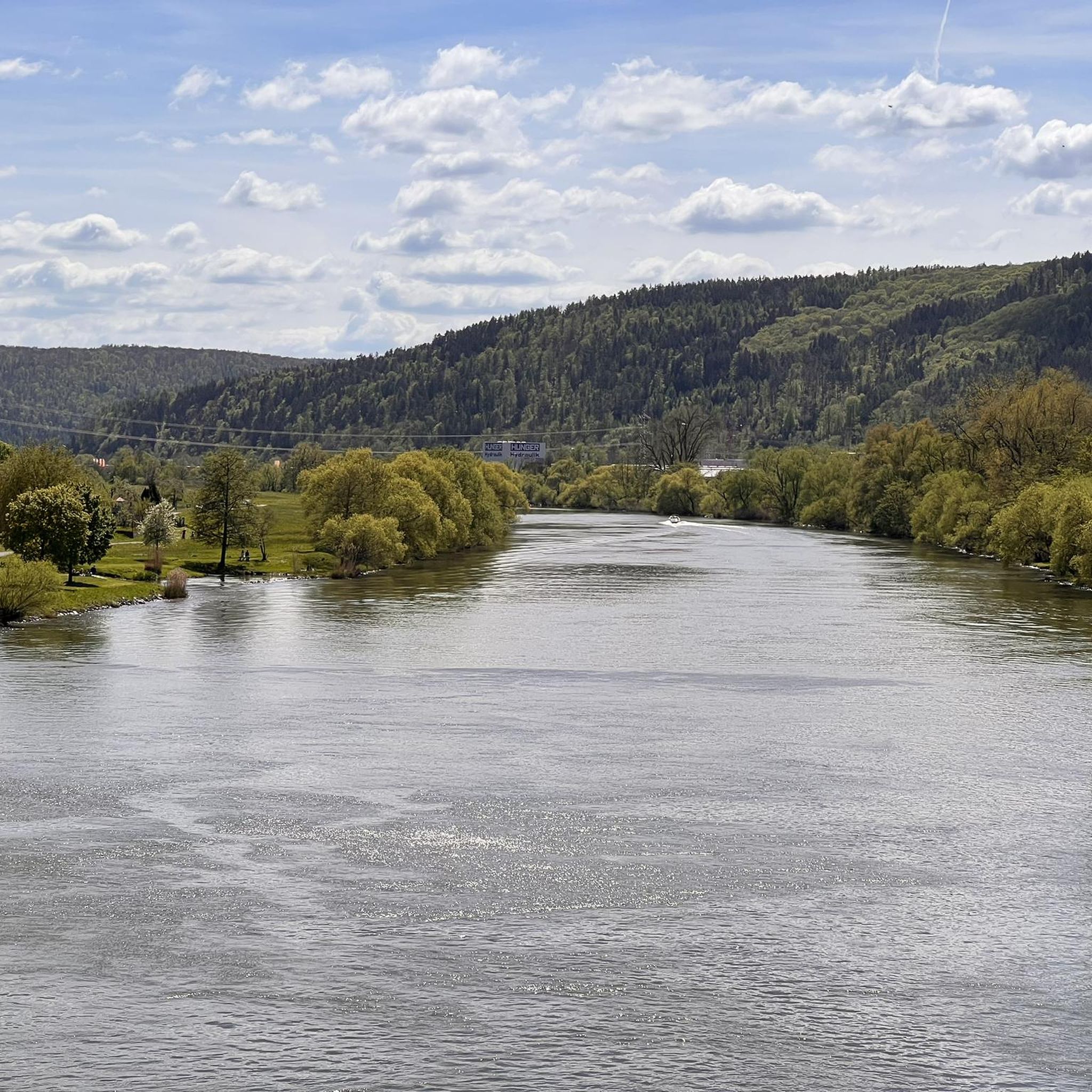
While not alpine, the peaks around Lohr am Main offer rewarding panoramic views, especially over the Main valley and the expansive, dense forests of the Spessart. From various vantage points, you can enjoy the unspoiled nature and rolling hills of the region.
Are there historical or cultural points of interest associated with these peaks?
Yes, the Hermannskoppe Summit (567 m) is particularly rich in history. On its slopes, you'll find the Hermannsborn fountain, which was historically a drinking trough along the Birkenheiner Landstraße, a significant medieval trade route. The broader Spessart region also features historical ruins, castles, and traditional Franconian inns along its trails.
What outdoor activities can I do near the mountain peaks around Lohr am Main?
The Spessart Nature Park, encompassing these peaks, is ideal for various outdoor activities. You can explore extensive hiking trails, from leisurely walks to more challenging routes with steep climbs. The area is also popular for cycling and mountain biking. For more specific routes, check out the MTB Trails around Lohr am Main, Cycling around Lohr am Main, and Road Cycling Routes around Lohr am Main guides.
Are there family-friendly options among the mountain peaks?
Yes, Geiersberg Summit is considered family-friendly, offering an accessible goal for reaching the highest point in the Spessart. The extensive network of trails in the Spessart Nature Park also includes many routes suitable for families, allowing for walks through the beautiful forests.
Which peak is the highest in the Spessart region?
The highest mountain in the Spessart range is Geiersberg Summit, also known as Breitsol, reaching an elevation of 586 meters (1,923 ft) above sea level.
What is the highest point within the Main-Spessart district?
The Klosterkuppel, at 552 meters (1,811 ft), holds the distinction of being the highest point within the Main-Spessart district. It's a popular spot for hiking and cycling, offering routes through dense forests.
Can I bring my dog on hikes to these mountain peaks?
Yes, Hermannskoppe Summit (567 m) is noted as dog-friendly. Generally, the Spessart Nature Park's trails are welcoming to dogs, but it's always advisable to keep them on a leash and respect local regulations.
What is the best time of year to visit the mountain peaks around Lohr am Main?
The Spessart region, with its temperate climate and excellent air quality, is enjoyable throughout much of the year. Spring and autumn offer particularly pleasant hiking conditions with vibrant foliage or blooming nature. Summer provides lush green forests, while winter can transform the landscape into a serene, snowy wonderland, though some trails might be more challenging.
Is there a mountain peak directly within the municipal area of Lohr am Main?
Yes, the Steckenlaubshöhe, at 542 meters (1,778 ft), is the highest topographical point within the municipal area of Lohr am Main itself. Its proximity makes it an accessible option for local residents and visitors.
What makes the Erkelshöhe notable?
The Erkelshöhe, at 517 meters, is situated between the towns of Wiesen and Flörsbach. Notably, the state border between Bavaria and Hesse runs directly across its summit, offering a unique geographical feature for hikers.
What do visitors enjoy most about the mountain peaks and surrounding area?
Visitors highly appreciate the tranquil escape offered by the vast and beautiful Spessart forest. The clean air, quiet atmosphere, and the opportunity to discover historical elements combined with serene natural vistas are frequently highlighted. The komoot community has given these locations over 390 upvotes and shared more than 100 photos, reflecting their popularity.
Most popular routes around Lohr am Main
Most popular attractions around Lohr am Main

Get inspired with the komoot mobile app


Explore more
See even more amazing summits around Lohr am Main with these guides:
