The best road cycling routes around Sunland Park
4.0
(2)
178
riders
23
rides
Road cycling routes around Sunland Park traverse a unique desert landscape at the convergence of New Mexico, Texas, and Chihuahua, Mexico. The area features prominent natural landmarks such as Mount Cristo Rey and the Rio Grande, offering diverse terrain for cyclists. The surrounding Chihuahuan Desert provides a distinct backdrop, while the proximity to the Franklin Mountains State Park offers additional challenging climbs. Developing trail networks, including the Rio Grande Trail, enhance access to natural spaces for road cyclists.
Best road…
Last updated: July 13, 2026
23
riders
Hard road ride. Very good fitness required. Mostly well-paved surfaces and easy to ride.
9
riders
Moderate road ride. Good fitness required. Mostly well-paved surfaces and easy to ride.

Sign up for free
9
riders
24.8km
01:46
400m
400m
Moderate road ride. Good fitness required. Mostly well-paved surfaces and easy to ride.
6
riders
48.4km
02:18
60m
60m
Moderate road ride. Good fitness required. Some segments of this route may be unpaved and difficult to ride.
9
riders
56.8km
03:06
650m
650m
Moderate road ride. Good fitness required. Some segments of this route may be unpaved and difficult to ride.
Get access to more routes and recommendations from other explorers.
Sign up for free
Already have an account?
Our route recommendations are based on thousands of hikes, rides, and runs completed by other people on komoot.
Start today with a free account
Your next adventure awaits.
Login or Signup
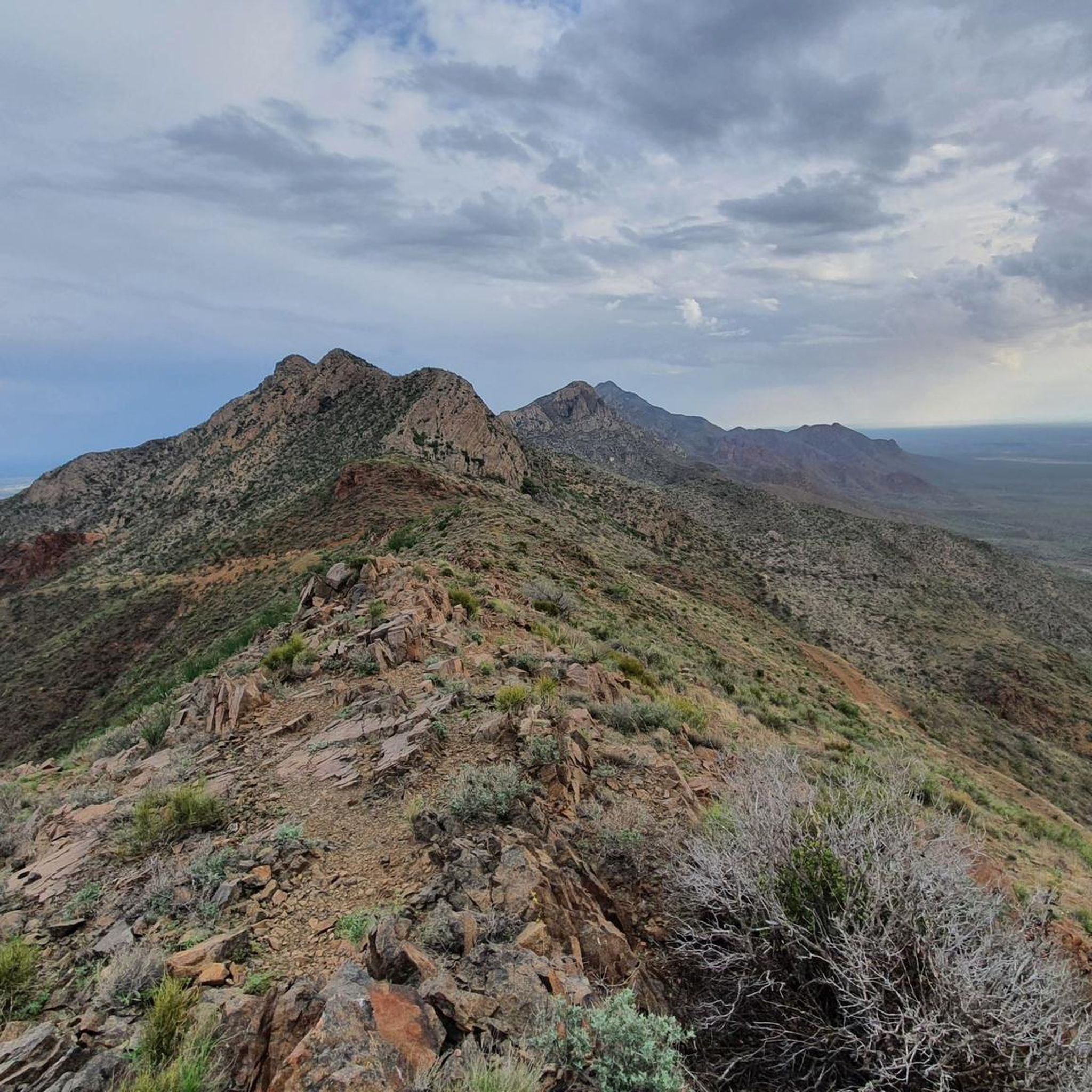
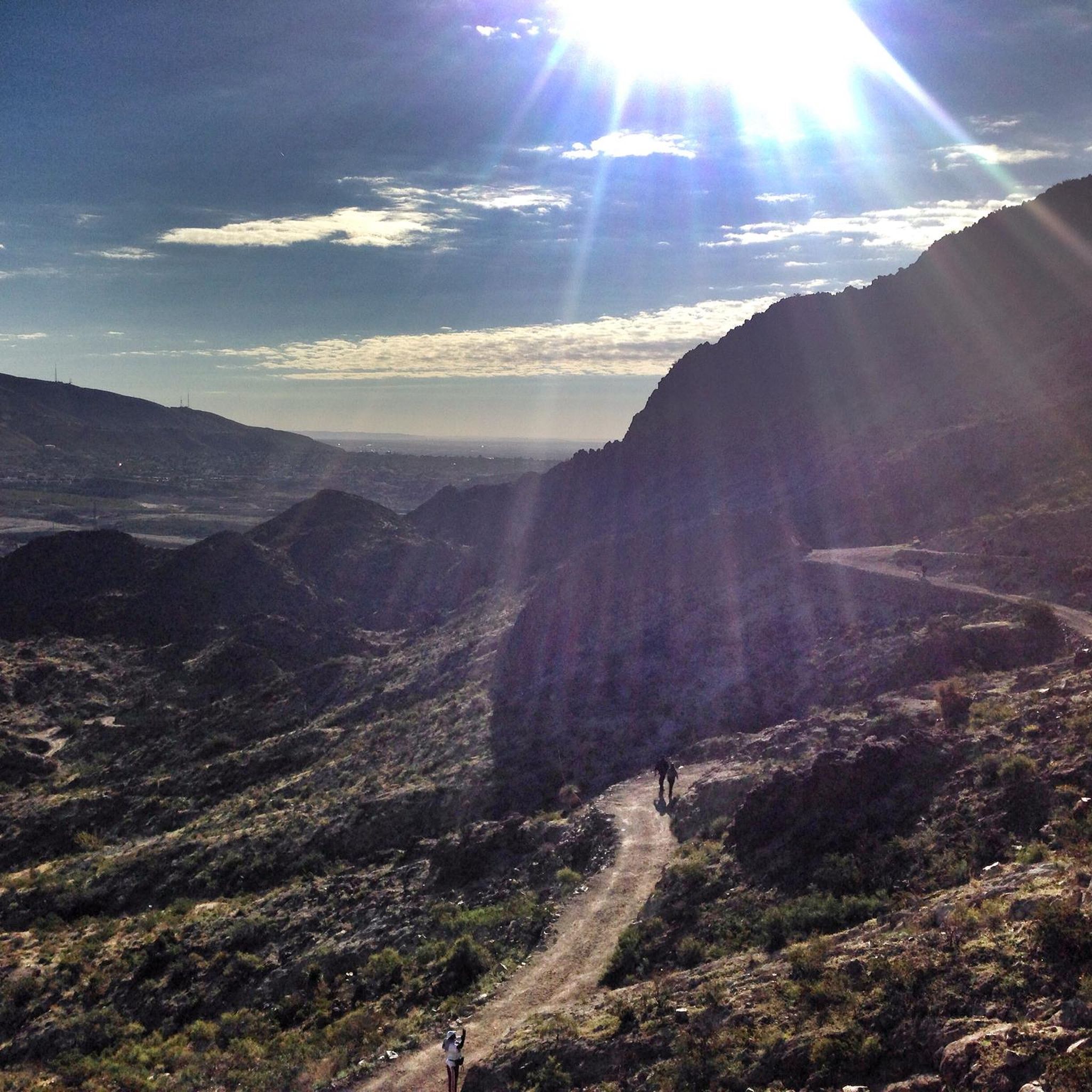
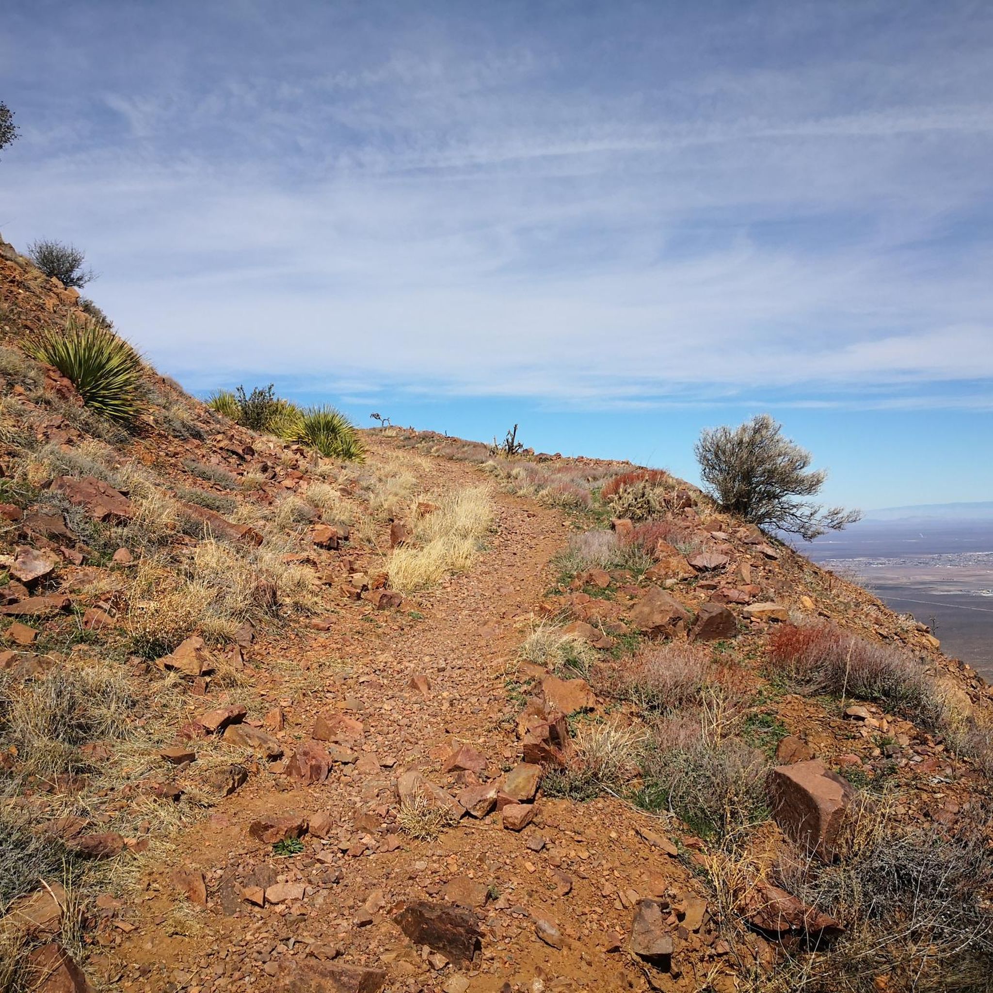
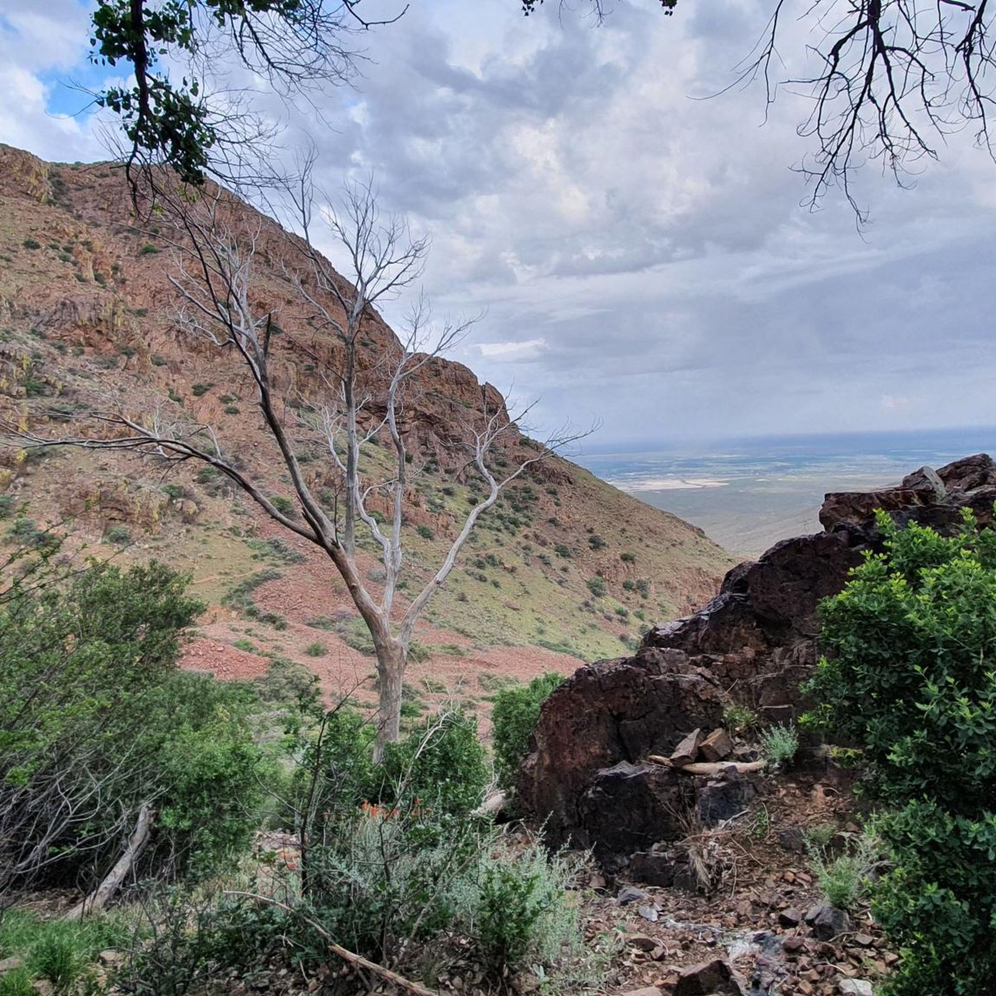
Tips from the Community

The Mammoth is a well-known local landmark, named for its resemblance to the extinct beasts. The steep rock formation stands at 6,285 ft (1915.7 m), and is enjoyed by spectators and rock climbers alike.
0
0

This overlook is better known as Murchison Rogers Park. The overlook features several pier overlooks from the cliffside that point down the valley and towards the mountain sides. The twisty mountain road reaching the overlook is a popular scenic drive, walk, jog, and bike ride.
0
0

In the park named after the former president of Mexico, known as the Father of the Americas, you can find this monument in his honor, which was inaugurated in 1910 shortly before the start of the revolution.
1
0

Nice ride. Crowded on sundays. Blocked for motorvehicles sunday mornings
1
0

The main road leading from the entrance to Tom Mays Unit is completely paved but a pretty popular spot for biking and running. It’s a nice warm-up for some of the steeper trails, too, so a lot of people just run up the road to get to different trailheads.
0
0
McKelligon Canyon Road is a completely paved road that is open to foot traffic, bikes, and motor vehicles. There is a wide bike lane the entirety of the road for pedestrians to use. You can even park right at the base of the canyon climb, or you can add this onto your run from town.
0
0
Frequently Asked Questions
What kind of terrain can I expect on road cycling routes around Sunland Park?
Road cycling routes around Sunland Park traverse a unique desert landscape, offering diverse terrain. You'll find riverside paths along the Rio Grande, challenging climbs towards prominent hills like Mount Cristo Rey, and routes through the distinctive Chihuahuan Desert. The area's proximity to the Franklin Mountains State Park also means options for more demanding rides with significant elevation changes.
Are there road cycling routes suitable for beginners or those looking for an easy ride?
Yes, Sunland Park offers routes for various ability levels. For an easier option, consider the Resler Pond 2 loop from Franklin High School. This route covers about 19.1 km (11.9 miles) with a moderate elevation gain, making it a good choice for a less strenuous ride.
Where can I find more challenging road cycling routes in the Sunland Park area?
For a more challenging experience, the View of the Mammoth – Murchison Rogers Park Overlook loop from Coronado High School is a difficult 70.6 km (43.8 miles) path with significant elevation changes, providing panoramic views. Another option is the Smuggler's Pass – View of the Mammoth loop from Thunder Canyon Conservation Easement, a moderate 50.4 km (31.3 miles) route through desert landscapes.
What scenic landmarks or viewpoints can I see while road cycling near Sunland Park?
The region is rich in scenic landmarks. You can enjoy views of Mount Cristo Rey, a prominent natural landmark with a 29-foot-tall statue at its summit. The Rio Grande offers scenic riverside routes, and the nearby Franklin Mountains provide expansive views, especially from spots like the South Franklin Mountain summit or along McKelligon Canyon Road.
Are there family-friendly road cycling routes in Sunland Park?
While many routes involve desert terrain and some elevation, developing trail networks like the Rio Grande Trail are designed to be multi-use and enhance access to natural spaces. These pathways often accommodate road cycling and can be suitable for families, especially the flatter sections along the river. Always check the specific route details for difficulty and surface before heading out with children.
Can I bring my dog on road cycling routes in Sunland Park?
Road cycling routes typically follow paved roads or dedicated bike lanes where dogs may not be permitted or safe due to traffic. While some multi-use trails might allow dogs, it's best to check local regulations for specific trails, especially for the developing Rio Grande Trail. For safety, it's generally recommended to leave dogs at home when road cycling.
Where can I park when starting a road cycling route in Sunland Park?
Many routes in the area, such as the Resler Pond 2 loop or the View of the Mammoth loop, often start from locations like Coronado High School or Franklin High School, which may offer parking. For routes along the Rio Grande, look for designated parking areas near trailheads. Always verify parking availability and restrictions before your ride.
Is public transport an option for reaching cycling routes in the Sunland Park area?
Sunland Park is adjacent to El Paso, Texas, which has a cycling community and some bike-friendly infrastructure. While direct public transport options specifically for reaching trailheads in Sunland Park with a road bike might be limited, you can explore options within El Paso's public transport system for connections. For more information on El Paso's cycling community and potential transport links, you might find resources on visitelpaso.com.
Are there places to eat or get coffee along the road cycling routes?
Sunland Park and its surrounding areas, including parts of El Paso, offer various amenities. While some routes might pass through residential or commercial areas with cafes and restaurants, many desert routes are more remote. It's advisable to plan your stops in advance and carry sufficient water and snacks, especially on longer rides. Local attractions in Sunland Park also include restaurants, which you can explore on sunlandpark-nm.gov.
What is the best time of year to go road cycling in Sunland Park?
The Chihuahuan Desert climate means that spring and fall generally offer the most pleasant temperatures for road cycling. Summers can be very hot, making early morning or late afternoon rides essential, while winters are typically mild but can have cooler days. Always check the local weather forecast before planning your ride.
How many road cycling routes are available around Sunland Park?
There are over 20 road cycling routes available around Sunland Park, catering to various skill levels. These include 5 easy routes, 13 moderate routes, and 4 difficult routes, ensuring options for every type of road cyclist.
What do other road cyclists enjoy the most about road cycling in Sunland Park?
Road cyclists using komoot often praise the unique desert landscapes, the challenging climbs that offer rewarding views, and the variety of routes available. The opportunity to cycle along the Rio Grande and explore the convergence of three states is also a highlight for many.
Most popular routes around Sunland Park
Most popular attractions around Sunland Park

Get inspired with the komoot mobile app


Explore more
Browse the best Road cycling routes in other regions.
