The best road cycling routes around Las Cruces
5.0
(1)
44
riders
8
rides
Road cycling routes around Las Cruces are characterized by a diverse landscape, ranging from the flat, open Mesilla Valley along the Rio Grande to the rolling hills and steeper climbs leading into the Organ Mountains-Desert Peaks National Monument. The region features extensive farmlands, including pecan groves and chile fields, offering scenic, low-traffic routes. Terrain transitions from the Rio Grande basin to higher elevations, providing varied cycling experiences.
Best road cycling routes around Las Cruces
- The most popular road cycling route is Sagecrest Park loop from Mesilla Valley Mall, a 31.1 miles (50.0 km) trail that takes 2 hours 15 minutes to complete. This moderate route offers a substantial ride through the local area.
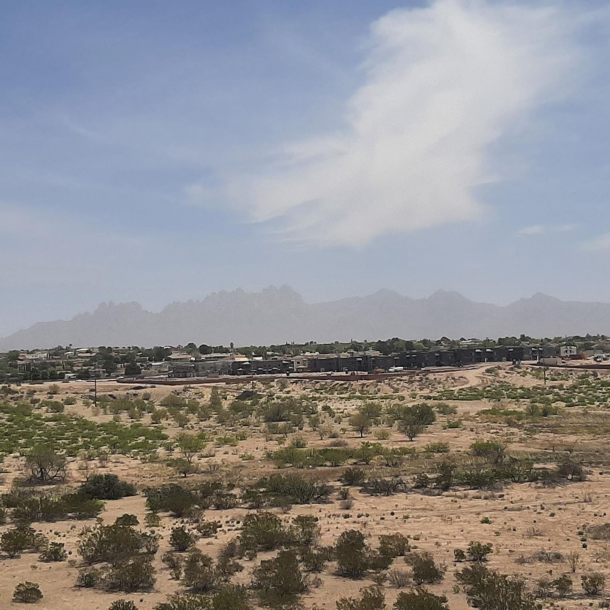
- Another top favourite among local road cyclists is The Bean cafe – View of the Organ Mountains loop from Mesa Middle School, a moderate 42.9 miles (69.0 km) path. This route provides views of the Organ Mountains and covers a significant distance.
- Local road cyclists also love the Roadbike loop from Mayfield High School, a 16.2 miles (26.0 km) trail leading through local neighborhoods and open areas, often completed in about 1 hour 19 minutes.
- Road cycling around Las Cruces is defined by the flat Mesilla Valley, the dramatic Organ Mountains, and the expansive Chihuahuan Desert, with routes offering options for different ability levels.
- The guide includes highly-rated routes that showcase the best of the region's landscape. More than 29 road cyclists have used komoot to explore Las Cruces's varied terrain.
Last updated: October 13, 2026
17
riders
Moderate road ride. Good fitness required. Mostly well-paved surfaces and easy to ride.
6
riders
35.7km
01:35
390m
390m
Moderate road ride. Good fitness required. Mostly well-paved surfaces and easy to ride.

4
riders
71.7km
02:57
320m
320m
Moderate road ride. Good fitness required. Mostly well-paved surfaces and easy to ride.
5.0
(1)
6
riders
32.1km
01:38
180m
180m
Easy road ride. Great for any fitness level. Mostly well-paved surfaces and easy to ride.
3
riders
29.4km
01:18
40m
40m
Easy road ride. Great for any fitness level. Mostly well-paved surfaces and easy to ride.
Get access to more routes and recommendations from other explorers.
Already have an account?
Our route recommendations are based on thousands of hikes, rides, and runs completed by other people on komoot.
Start today with a free account
Your next adventure awaits.


Other adventures around Las Cruces

Tips from the Community

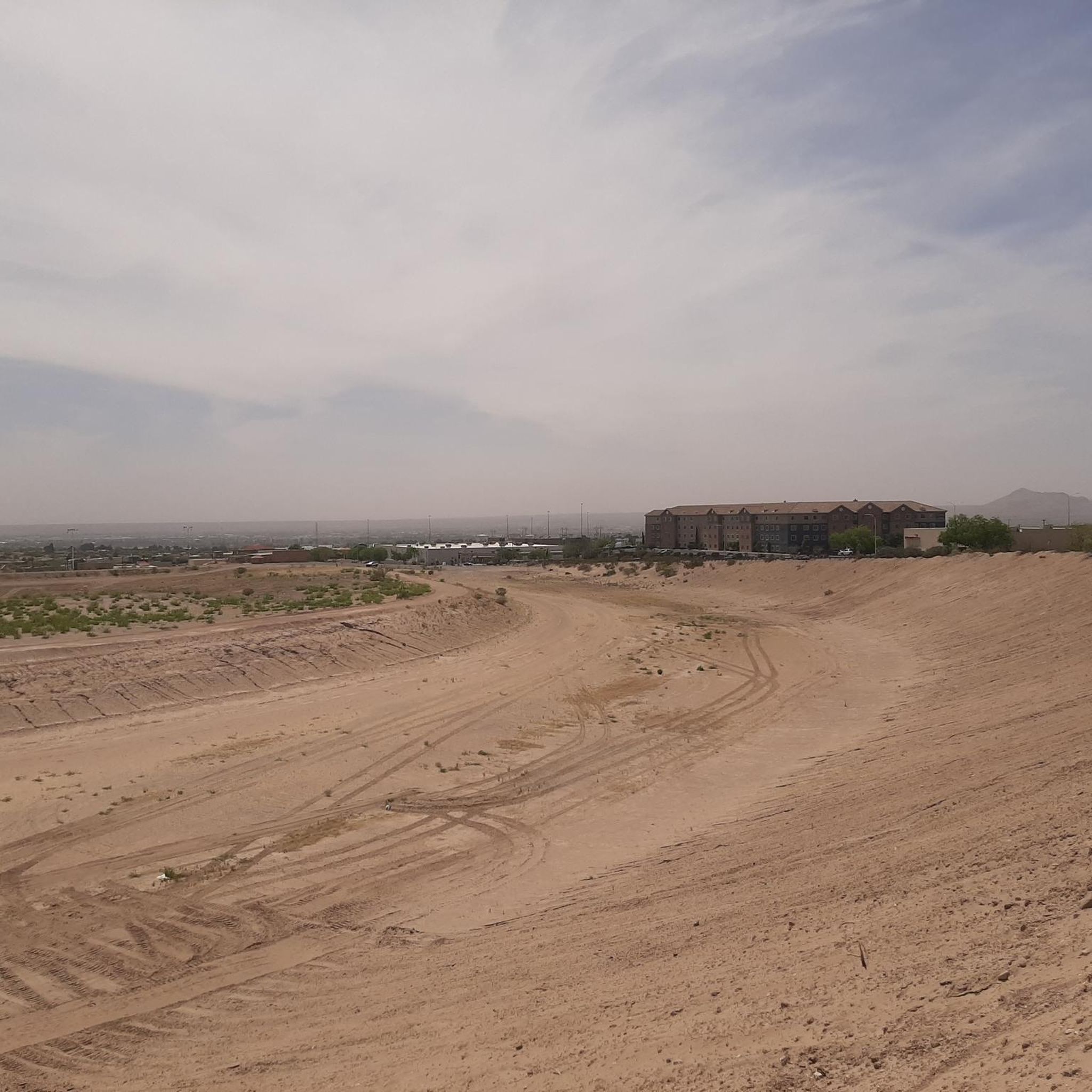
This is a paved track that runs along the north side of the dam. The dam was originally constructed in 1975 to protect the city from flooding damages from alluvial arroyos.
0
0
The park has some nice green space with views to the Organ Mountains. There is street parking, clean public restrooms, a picnic table, and trail access.
0
0
The trail is well marked, well maintained, and runs along an easy route that parallels the foot of the mountains. There is a vast network of trails you can connect to if you wish. Some parts of the trail are rocky must mostly it is a well packed dirt singletrack through the cacti with gorgeous views of the desert and the mountains. There is a gravel lot at the trailhead.
0
0


A visit to IHOP Las Cruces is worthwhile for the good pancakes.
0
0
Frequently Asked Questions
How many road cycling routes are available around Las Cruces?
There are 5 road cycling routes around Las Cruces. These include 2 easy routes perfect for a relaxed ride and 3 moderate routes for those seeking a bit more challenge.
What is the best time of year for road cycling in Las Cruces?
Las Cruces boasts an impressive 320 days of sunshine annually, making it suitable for road cycling year-round. While summers can be hot, the spring, fall, and winter months offer ideal conditions for exploring the region's diverse landscapes.
What kind of terrain can I expect on road cycling routes in Las Cruces?
You'll find a mix of terrain. The Roadbike loop from Mayfield High School offers a relatively flat experience. Routes through the Mesilla Valley often feature flat, easygoing paths through farmlands and pecan groves. As you head towards the Organ Mountains-Desert Peaks National Monument, you can expect rolling hills and some steeper climbs, providing a more challenging ride with stunning mountain backdrops.
Are there any easy or family-friendly road cycling routes in Las Cruces?
Yes, Las Cruces offers several easy routes suitable for beginners or families. The Roadbike loop from Mayfield High School is an easy option, as is The Bean cafe loop from Mesilla. These routes typically feature lower elevation gains and are often found in the flat Mesilla Valley.
What natural features or landmarks can I see while road cycling in Las Cruces?
Road cycling in Las Cruces offers stunning views of the Organ Mountains, the vast Chihuahuan Desert, and the fertile Mesilla Valley along the Rio Grande. You might also encounter unique geological formations like Baylor Canyon. The The Bean cafe – View of the Organ Mountains loop from Mesa Middle School route, for example, provides excellent vistas of the Organ Mountains.
Are there any waterfalls or canyons along the road cycling routes?
While primarily a desert region, you can find natural features like Fillmore Waterfall and Baylor Canyon in the broader Las Cruces area. Some road routes may offer distant views or access points to these natural attractions, particularly those venturing closer to the Organ Mountains-Desert Peaks National Monument.
Are there cafes or places to stop for refreshments along the routes?
Yes, some routes are designed with refreshment stops in mind. For instance, The Bean cafe – View of the Organ Mountains loop from Mesa Middle School and The Bean cafe loop from Mesilla both incorporate 'The Bean cafe' into their names, suggesting convenient stops for coffee or a snack. Historic Mesilla, often passed by routes in the valley, also offers various cafes and eateries.
Are the road cycling routes in Las Cruces typically loop routes?
Yes, all the road cycling routes featured in this guide are designed as loops, allowing you to start and finish at the same point without needing to retrace your path. This includes routes like the Sagecrest Park loop from Mesilla Valley Mall and Soledad Canyon Windmill – The Bean cafe loop from Mayfield High School.
What is the elevation gain like on the road cycling routes?
Elevation gain varies significantly. Easy routes like the Roadbike loop from Mayfield High School have minimal gain (around 36 meters). More moderate routes, such as the Soledad Canyon Windmill – The Bean cafe loop from Mayfield High School, can feature over 600 meters of climbing, offering a good workout and expansive views.
Are there any specific trails or paths within Las Cruces suitable for road cycling?
Within Las Cruces, multi-use paths like the Triviz Multi-Use Path and the Outfall Channel Trail offer easygoing options for road cyclists. Many routes also utilize roads with wide shoulders or designated bike lanes, especially in the Mesilla Valley, providing a safe and enjoyable cycling experience.
Most popular attractions around Las Cruces

Get inspired with the komoot mobile app


Explore more
Browse the best Road cycling routes in other regions.
