The best road cycling routes around Far Hills
4.5
(26)
476
riders
110
rides
Road cycling around Far Hills offers diverse terrain through scenic hills and varied natural features. The region is characterized by rolling hills, wooded areas, and a mix of well-paved roads and some unpaved segments. Cyclists can navigate routes that pass through areas like Natirar Park and the Great Swamp National Wildlife Refuge, providing a blend of challenging climbs and serene paths. This landscape provides a suitable environment for road cyclists of varying skill levels.
Best road cycling routes around Far Hills
- The most popular road cycling route is Mannon-Sauerland Pond loop from Far Hills, a 46.0 miles (74.0 km) trail that takes 3 hours 32 minutes to complete. This route offers varied terrain through scenic hills and past natural features.
- Another top favourite among local road cyclists is Watchung Reservation – Blue Brook Bridge loop from Far Hills, a moderate 42.0 miles (67.5 km) path. It navigates through wooded areas and provides views of the Watchung Reservation.
- Local road cyclists also love the Osborn Pond loop from Far Hills, a 27.0 miles (43.5 km) trail leading past Osborn Pond, often completed in about 1 hour 59 minutes.
- Road cycling around Far Hills is defined by scenic hills, wooded areas, and diverse natural features like ponds and wetlands. The network offers options for different ability levels, from moderate paths to more challenging routes.
- The routes in Far Hills are highly rated by the komoot community with an average score of 4.2 stars from 8 reviews. More than 190 road cyclists have used komoot to explore Far Hills's varied terrain.
Last updated: July 2, 2026
5.0
(1)
60
riders
61.3km
02:52
370m
370m
Moderate road ride. Good fitness required. Mostly well-paved surfaces and easy to ride.
16
riders
70.6km
03:16
430m
430m
Moderate road ride. Good fitness required. Mostly well-paved surfaces and easy to ride.

Sign up for free
15
riders
74.0km
03:32
640m
640m
Moderate road ride. Good fitness required. Some segments of this route may be unpaved and difficult to ride.
14
riders
55.0km
02:43
330m
330m
Moderate road ride. Good fitness required. Mostly well-paved surfaces and easy to ride.
10
riders
95.2km
04:04
540m
540m
Moderate road ride. Good fitness required. Mostly well-paved surfaces and easy to ride.
Get access to more routes and recommendations from other explorers.
Sign up for free
Already have an account?
Our route recommendations are based on thousands of hikes, rides, and runs completed by other people on komoot.
Start today with a free account
Your next adventure awaits.
Login or Signup


Tips from the Community

A great view, but no cyclists are allowed to use their bikes on the bridge. This is strictly enforced however there is a sidewalk you can walk your bike on.
0
0

The Devil's Tree is an oak tree that sits by itself on Mountain Road. The tree is surrounded by legends, the most popular being that anyone that disrespects the tree will come to some sort of harm.
0
0

The collection of open spaces around Readington Township is an effort to preserve at least 12,000 acres despite the projected growth in the area. As of now a number of areas are designated as open spaces and have varying amenities such as trails, picnic sites, and lakes.
0
0

This 978-acre area was once an iron ore mine site in the 1800s. It has now become a very popular park, thanks to the miles of trails and the Black River running through it.
1
0

Washington Valley Park is really split into two trail systems: the Washington Valley Park West and the Washington Valley Park East Trails. There is a good mix of difficulty in both parts of the park with some of the west trails offering views of the Washington Valley Reservoir.
0
0

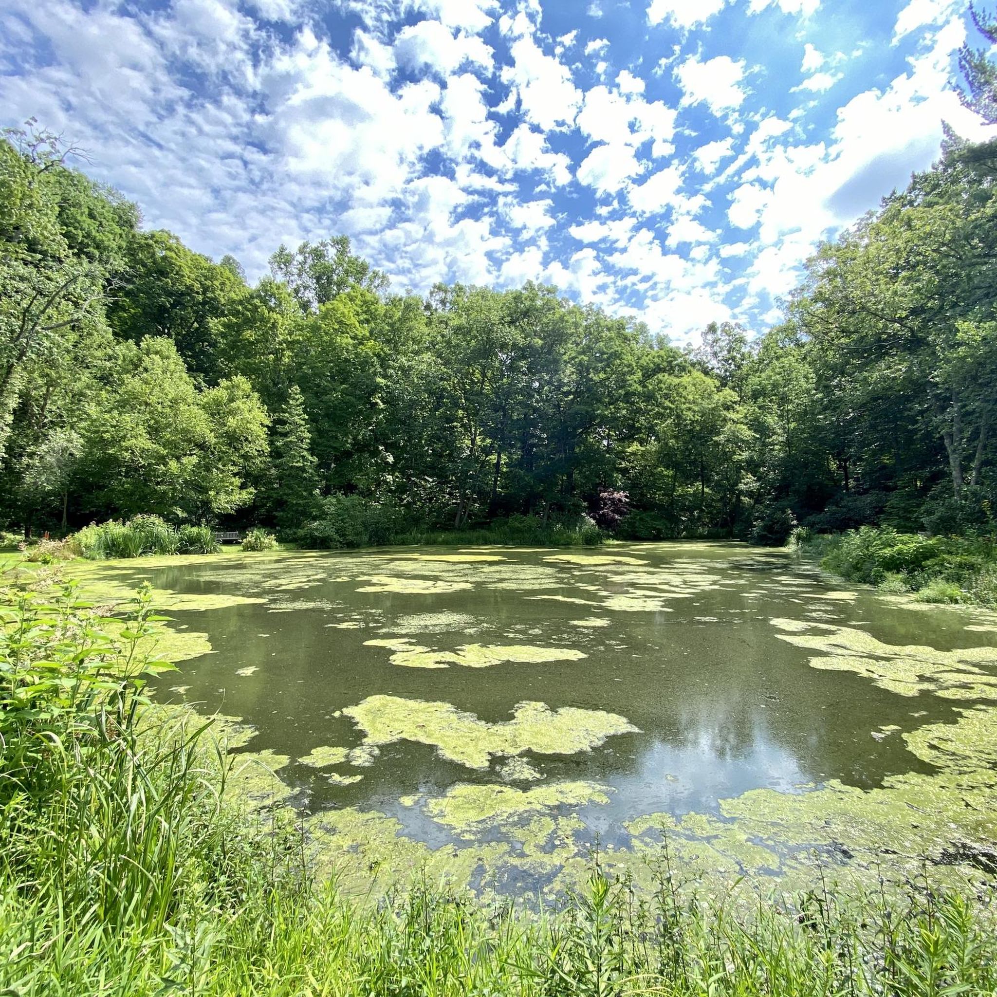
Mannon-Sauerland Pond is a small pond right on the corer of Red Cushetunk Trail and Round Valley Youth Canter driveway. It is a pond surrounded by cattails and is a popular fishing spot for Scouts. There are a few benches for riders to sit and enjoy the calm waters.
0
0
Washington Valley Park is really split into two trail systems: the Washington Valley Park West and the Washington Valley Park East Trails. There is a good mix of difficulty in both parts of the park with some of the west trails offering views of the Washington Valley Reservoir.
0
0

This segment goes alongside the D&R canal. There is a good view of the canal from this segment. Very quiet road on the weekdays, could be a little busy during the weekend with traffic
1
0
Frequently Asked Questions
How many road cycling routes are available around Far Hills?
There are over 20 road cycling routes around Far Hills, offering diverse terrain through scenic hills and varied natural features. These routes cater to different skill levels, from moderate paths to more challenging climbs.
What kind of terrain and difficulty can I expect on road cycling routes in Far Hills?
Far Hills offers a blend of challenging terrains and serene routes. You'll find rolling hills, wooded areas, and a mix of well-paved roads. While most routes are rated as moderate, there are also some more difficult options for experienced riders seeking steeper climbs and technical sections. The region's landscape provides a suitable environment for road cyclists of varying skill levels.
Are there any family-friendly road cycling routes in Far Hills?
While many routes in Far Hills feature rolling hills, some are suitable for families looking for a more leisurely ride. The region offers paths that are generally well-paved, providing a smooth experience. For specific family-friendly options, it's best to check individual route details on komoot to ensure they match your family's comfort level.
What are some notable road cycling loops in the Far Hills area?
Several popular loops originate from Far Hills. The Mannon-Sauerland Pond loop from Far Hills is a popular choice, offering varied terrain. Another favorite is the Watchung Reservation – Blue Brook Bridge loop from Far Hills, which navigates through wooded areas. You can also explore the Osborn Pond loop from Far Hills, leading past the scenic Osborn Pond.
What natural features and landmarks can I see along the road cycling routes?
Road cycling routes in Far Hills often pass by beautiful natural features. You might encounter the serene Osborn Pond, a favored spot for birding. Some routes also offer views of the expansive Natirar Park with its rolling hills, or skirt the edges of the Great Swamp National Wildlife Refuge, known for its diverse wildlife. The Watchung Reservation – Blue Brook Bridge loop from Far Hills provides views of the Watchung Reservation.
Are there any specific parks or natural areas that road cyclists can explore?
Yes, road cyclists can enjoy routes that pass through or near several significant natural areas. Natirar Park offers stunning scenic views and wooded areas. The Great Swamp National Wildlife Refuge, a critical habitat for diverse wildlife, is also accessible via routes in the region. Additionally, the Washington Valley Park West provides trails with spectacular views of the Washington Valley Reservoir.
What is the best time of year for road cycling in Far Hills?
The Far Hills region is beautiful for road cycling throughout much of the year. Spring and summer offer lush greenery, while autumn provides vibrant foliage, making these seasons particularly scenic. The well-paved surfaces of many routes ensure a smooth ride in various conditions, though it's always wise to check local weather before heading out.
Where can I find parking for road cycling routes in Far Hills?
Far Hills offers various starting points for road cycling routes, and parking availability can vary. Many routes originate from areas with accessible parking. It's recommended to check the specific details of your chosen route on komoot, as individual tour pages often provide information on suitable parking locations near the starting point.
Are there cafes or places to eat near the road cycling routes in Far Hills?
Yes, Far Hills and its surrounding towns offer a selection of cafes, pubs, and restaurants where cyclists can refuel. The area is known for its charming communities, and you'll find options for refreshments and meals, particularly in the village centers or along some of the more popular routes. It's a great way to experience the local hospitality during your ride.
What do other road cyclists enjoy most about road cycling in Far Hills?
The road cycling experience in Far Hills is highly rated by the komoot community, with an average score of 4.2 stars. Cyclists often praise the region's diverse terrain, from challenging climbs to serene paths, and the picturesque landscapes that provide a beautiful backdrop for their rides. The blend of well-paved roads and scenic natural features is frequently highlighted as a key draw.
Are there any routes that follow a river or offer waterside views?
Yes, you can find routes that incorporate waterside views. The Along the river loop from Far Hills is one such option, offering scenic stretches. Additionally, the Osborn Pond is a notable feature along some routes, providing tranquil lake views, particularly from the Lees Hill Road bridge.
Are there any specific permits required for road cycling in Far Hills parks?
Generally, road cycling on public roads and designated bike paths in Far Hills does not require special permits. However, if your route takes you through specific county parks or private estates, it's always advisable to check the regulations of those particular areas. Information regarding permits is usually available on the official websites of the respective parks or land managers.
Most popular routes around Far Hills
Most popular attractions around Far Hills

Get inspired with the komoot mobile app


Explore more
Browse the best Road cycling routes in other regions.
