The best road cycling routes around Mount Arlington
4.5
(18)
237
riders
68
rides
If you've ever tried to plan a road cycling trip around Mount Arlington, you know how quickly the sheer number of routes can become overwhelming. It's tough to tell which rides are genuinely worth your time and effort, and which are just filler. We get it – sifting through endless options to find those standout experiences can be a real pain.
That's where komoot comes in. Our community has ridden, mapped, and reviewed countless miles across the region, and we've distilled that collective wisdom into this curated guide. Consider this your shortcut to the best road cycling Mount Arlington has to offer, saving you the guesswork and ensuring every pedal stroke counts.
Road cycling around Mount Arlington is defined by its diverse terrain and the stunning presence of Lake Hopatcong, New Jersey's largest freshwater lake, which provides a beautiful backdrop for many rides. You'll find a mix of well-paved surfaces, routes through lush woodlands, and quiet green neighborhoods. The elevation changes are varied, ranging from routes with under 1,000 feet (300 m) of gain to more demanding paths exceeding 3,000 feet (900 m), including some sharp climbs that will test your legs.
If you only do one ride, make it the High Point to Cape May Bike Route: Andover Loop. At 48.7 miles (78.4 km), it's a fantastic introduction to the area's varied landscapes and a favorite among local cyclists. For those seeking a challenge, the Sharp climb Minnesink Road – West Dewey Avenue loop from Wharton, at 28.1 miles (45.2 km), is known for its excellent road surface and, as the name suggests, some memorable ascents. Ready to explore? Dive into these routes and discover why over 200 road cyclists have already used komoot to experience Mount Arlington.
Last updated: June 2, 2026
4.5
(2)
3
riders
78.4km
03:34
740m
740m
The High Point to Cape May Bike Route: Andover Loop offers a moderate road cycling adventure through Northern New Jersey's varied landscape. You'll traverse diverse terrain, from rolling Appalachian foothills to peaceful farm valleys, passing through remote state preservation lands and catching views of quiet streams and the scenic Lake Musconetcong. This 48.7-mile (78.4 km) route features 2424 feet (739 metres) of elevation gain, making it a good challenge for cyclists in about 3 hours and 34 minutes.
While the overall High Point to Cape May route is largely paved, be aware that some local segments within the Andover area might include unpaved sections. These could be particularly challenging for road bikes, especially after rain, so checking current conditions is a smart move before you start. The broader route also benefits from public transportation options at various points, which can be useful for planning or emergencies.
This Andover Loop is a fantastic way to experience the distinct ecological zones of Northern New Jersey, from higher Appalachian elevations to serene agricultural valleys. It's part of the larger High Point to Cape May Bike Route, which is a significant end-to-end journey showcasing the state's diverse beauty and historical sites. It's a notable route for those seeking a varied and engaging ride.
4.7
(3)
27
riders
Moderate road ride. Good fitness required. Mostly well-paved surfaces and easy to ride.

Sign up for free
4.5
(2)
21
riders
36.1km
01:45
340m
340m
The Lake Musconetcong – Hopatcong State Park loop from Netcong offers a moderate road cycling experience through northern New Jersey's picturesque landscape. You'll pedal past quiet streams and through wooded areas, eventually opening up to gorgeous views of Lake Musconetcong and the expansive Lake Hopatcong. This 22.5 miles (36.1 km) route, with 1123 feet (342 metres) of elevation gain, provides a varied terrain of gentle gradients and some climbs, making for an engaging ride that typically takes around 1 hours and 44 minutes.
To make the most of your ride, plan your visit during pleasant weather, as the route is primarily on mostly well-paved surfaces. While no specific parking details are provided for the start in Netcong, the area around Hopatcong State Park is well-established for recreation. This moderate route requires good fitness levels, so be prepared for a decent challenge, especially if you're looking for Hopatcong State Park cycling opportunities.
This loop is notable for its journey around Lake Musconetcong, a 329-acre reservoir, and its proximity to Lake Hopatcong, New Jersey's largest freshwater lake. Beyond the natural beauty, the region also holds historical significance, with remnants of the Morris Canal and the Lake Hopatcong Historical Museum nearby. This combination of natural scenery and historical elements makes the Lake Musconetcong Hopatcong State Park loop Netcong road cycling route a unique experience.
3.0
(1)
13
riders
71.9km
03:40
960m
960m
Hard road ride. Very good fitness required. Some segments of this route may be unpaved and difficult to ride.
8
riders
98.1km
04:52
1,280m
1,280m
The Hopatcong State Park – Heaters Pond loop from Lake Hopatcong offers a rewarding road cycling experience through New Jersey's scenic northern highlands. You'll navigate rolling hills and forests, passing by the tranquil Heater's Pond and enjoying sweeping views of Lake Hopatcong's Crescent and Byram Coves. This difficult 61.0-mile (98.1 km) route features significant ascents, totaling 4193 feet (1278 metres) of elevation gain, and typically takes around 4 hours and 52 minutes to complete, making it perfect for advanced riders.
To make the most of your ride, plan to start early, especially on weekends, as the area is a popular recreational destination. While specific parking details aren't provided, the route begins from Lake Hopatcong, a well-known access point. The best times to visit for cycling are generally spring and fall, when the weather is cooler and the natural scenery is at its most vibrant.
This area is notable not just for its cycling, but also for its rich history, including remnants of the Morris Canal, which once used Lake Hopatcong as its main water source. The region's natural beauty, encompassing the largest freshwater lake in New Jersey and surrounding parklands, provides a consistently appealing backdrop. It's a destination that combines challenging road cycling with historical significance and picturesque landscapes.
Get access to more routes and recommendations from other explorers.
Sign up for free
Already have an account?
Our route recommendations are based on thousands of hikes, rides, and runs completed by other people on komoot.
Start today with a free account
Your next adventure awaits.
Login or Signup
Tips from the Community


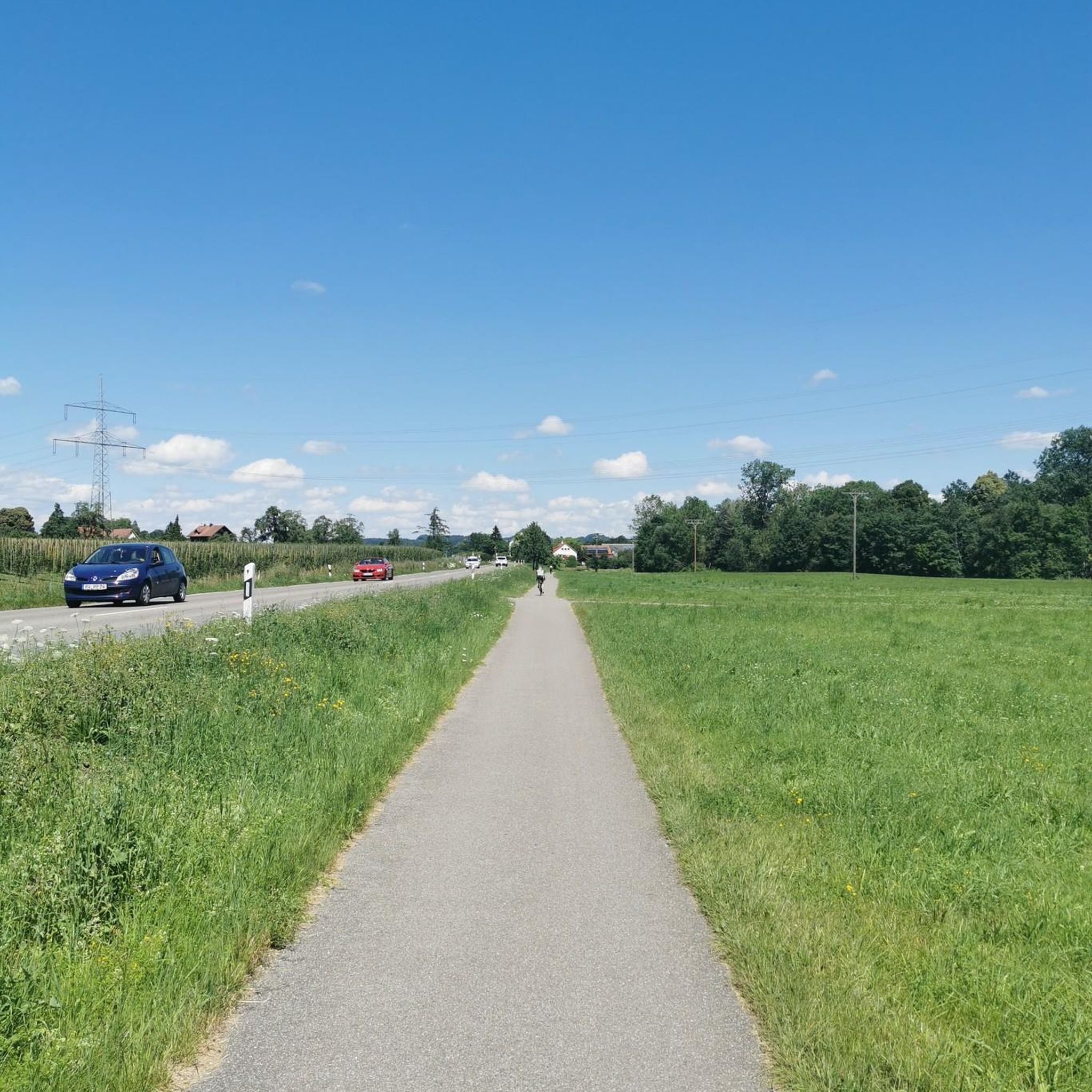
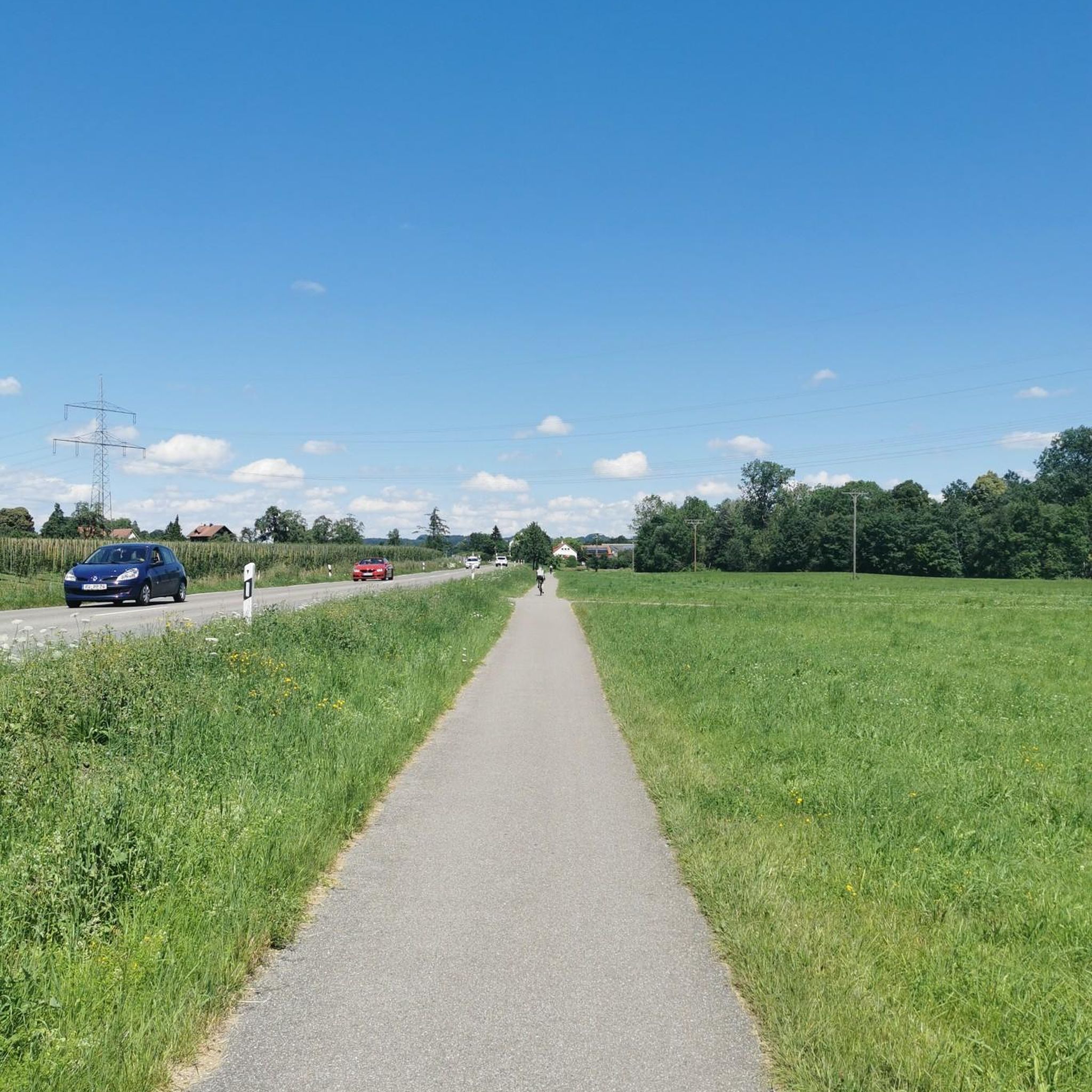
Brady Bridge on Lake Hopatcong connects Brady Marina with Prospect Point. The views out over the lake with its tree-lined residential shores, complete with its jetties of boats, make this crossing a bit special, as the views are simply stunning.
1
0

This Thomas Edison Monument is a quick pull-off from Edison Road and gives visitors the chance to learn about the inventor of the practical electric light bulb.
0
0
Kittatinny Valley State Park has over 5,000 acres of scenic green space. Once used for agriculture and mining, it is now popular for hiking, biking, and fishing. Keep an eye out for deer and wild turkey. Visitors can also enjoy water activities at nearby Lake Aeroflex and Gardner's Pond.
0
0
Heaters Pond, the main attraction of Heaters Pond Park, can be seen while riding on Edison Road. For a fee of $7 per season, visitors can swim and hang out on the beach. Heaters Pond has not only swimming areas but also a dock, a bathroom, an island with a large overhang, grills, and picnic tables.
0
0

Walk, bike, or jog along the park's trails, soaking in the panoramic views of the lake and surrounding woodlands. Take a break at one of the picnic areas and savor a delicious lunch with a breathtaking backdrop.
0
0

Saffin Pond is considered the most scenic part of the area, where you can enjoy stunning waterfront views on a trail that encircles the pond, providing numerous stopping points. This area is also very popular for fishing, so bring your pole along if you're interested.
0
0

Saffin Pond is a small reservoir on the Mahlon Dickerson Reservation that has flat and easy hiking trails traveling around its banks. This is one of many spots on the property that is great for viewing wildlife.
0
0
Frequently Asked Questions
How many road cycling routes are available around Mount Arlington?
Mount Arlington offers a wide selection of road cycling routes, with over 60 different tours available on komoot. These routes cater to various preferences, ranging from easy to difficult, ensuring there's something for every cyclist.
What kind of terrain and elevation can I expect on road cycling routes in Mount Arlington?
The region around Mount Arlington features diverse terrain, from well-paved surfaces through quiet, green neighborhoods to more challenging paths with significant elevation changes. You'll find routes with up to 1,000 feet of elevation gain for easier rides, and others exceeding 3,000 feet, including sharp climbs like those found on Minnesink Road, suitable for experienced cyclists.
Are there any easy road cycling routes suitable for beginners in Mount Arlington?
Yes, Mount Arlington has several easy road cycling routes. While specific beginner routes aren't highlighted in the top selections, the region offers options with less elevation gain and mostly well-paved surfaces, making them suitable for those new to road cycling. Look for routes with lower elevation profiles for a more relaxed ride.
Which routes offer a challenging experience for experienced road cyclists?
For experienced cyclists seeking a challenge, routes like the Hopatcong State Park – Heaters Pond loop from Mount Arlington provide a difficult experience with significant elevation gain. Another challenging option is the Heaters Pond – Thomas Edison Monument loop from Lake Hopatcong, which covers a long distance with over 1,200 meters of ascent.
What scenic views and natural features can I see along the road cycling routes?
Many routes offer sweeping views of Lake Hopatcong, New Jersey's largest freshwater lake, and its coves. You'll also ride through lush woodlands and past rocky outcrops. Notable natural features include Lake Musconetcong and the tranquil beauty of areas like Roland-May Eves Mountain Inlet Sanctuary.
Are there any historical landmarks or points of interest along the road cycling routes?
Longer cycling routes in the Mount Arlington area may lead past historical landmarks such as remnants of the Morris Canal and Waterloo Village, a preserved 19th-century canal port town. These add a cultural dimension to your ride, offering glimpses into the region's past.
What is the best time of year for road cycling in Mount Arlington?
While specific seasonal recommendations are not provided, the diverse natural beauty of Mount Arlington suggests that spring, summer, and fall would offer pleasant conditions for road cycling. Spring and fall provide cooler temperatures and vibrant foliage, while summer allows for longer daylight hours to enjoy the lake views.
Are there any family-friendly road cycling routes in the Mount Arlington area?
For families, it's best to look for routes with minimal elevation gain and well-maintained, quieter roads. While specific 'family-friendly' routes are not explicitly listed, the region does offer easier options that could be suitable. Consider routes that stick to the flatter sections around the lakes for a more relaxed family outing.
What do other road cyclists enjoy most about cycling in Mount Arlington?
The road cycling routes around Mount Arlington are highly rated by the komoot community, with an average score of 4.5 stars from over 18 reviews. Cyclists often praise the varied terrain, the scenic beauty of Lake Hopatcong, and the mix of well-paved surfaces and challenging climbs that cater to different fitness levels.
Are there any circular road cycling routes available?
Yes, many of the routes around Mount Arlington are designed as loops, allowing you to start and end at the same point. Examples include the Sharp climb Minnesink Road – West Dewey Avenue loop from Wharton and the Lake Musconetcong – Lake Musconetcong loop from Netcong, which are popular circular options.
Can I find long-distance road cycling routes in Mount Arlington?
Absolutely. The region offers several long-distance routes for those looking to cover significant mileage. The High Point to Cape May Bike Route: Andover Loop, for instance, is nearly 80 kilometers long, providing an extensive ride across varied terrain.
Are there places to park near the road cycling trailheads?
While specific parking locations for each trailhead are not detailed, Mount Arlington and its surrounding areas, particularly near popular attractions like Hopatcong State Park, generally offer parking facilities. It's advisable to check local resources or the starting points of individual routes for precise parking information.
Most popular routes around Mount Arlington
Most popular attractions around Mount Arlington

Get inspired with the komoot mobile app


Explore more
Browse the best Road cycling routes in other regions.
