The best MTB trails around Summerlin South
3.9
(19)
227
riders
24
rides
Mountain biking around Summerlin South offers diverse trail systems set within the unique Mojave Desert ecosystem. The region is characterized by iconic Joshua Trees, striking granite slickrock formations, and views of the Spring Mountains. Many routes are located near or connect to the Red Rock Canyon National Conservation Area, providing a rugged and picturesque backdrop for outdoor adventures.
Best mountain bike trails around Summerlin South
- The most popular mountain bike trail is Bear's Best loop — Bears Best, a…
Last updated: October 10, 2026
2.5
(2)
23
riders
17.1km
01:31
250m
250m
Easy mountain bike ride. Great for any fitness level. Suitable for all skill levels.
15
riders
12.9km
01:04
230m
230m
Easy mountain bike ride. Great for any fitness level. Suitable for all skill levels.

5.0
(3)
15
riders
15.8km
01:19
200m
200m
Easy mountain bike ride. Great for any fitness level. Suitable for all skill levels.
41
riders
28.9km
02:35
440m
440m
Moderate mountain bike ride. Good fitness required. Suitable for all skill levels.
20
riders
16.1km
01:22
210m
210m
Easy mountain bike ride. Great for any fitness level. Suitable for all skill levels.
Get access to more routes and recommendations from other explorers.
Already have an account?
Our route recommendations are based on thousands of hikes, rides, and runs completed by other people on komoot.
Start today with a free account
Your next adventure awaits.
Tips from the Community

Mesa Park is a large, 19-acre park in Summerlin South. There are bathrooms, a playground, two tennis courts, three softball/baseball fields, a full-sized basketball court, covered picnic/BBQ areas, and parking. This park is where many park to access the extensive Bears Best Trail System, but is also a good place to park and begin a road cycling adventure on the west side of town.
1
0
Permagrin (or Perma Grin) is one of the most popular trails in the Bears Best Trail system that should be ridden from south to north (downhill). Permagrin is comprised of a series of fun washes and gullies that create undulating bumps that skirt the side of the mountain.
0
0
The Canal Road is a well-graded dirt road next to the canal. It's an easy way to warm up your legs as you ride up to Bears Best.
0
0
Mesa Park is a large, 19-acre park in Summerlin South. There are bathrooms, a playground, two tennis courts, three softball/baseball fields, a full-sized basketball court, covered picnic/BBQ areas, and parking. This park is where many park to access the extensive Bears Best Trail System.
0
0
Benchmark is a fun, short trail that connects Gasoline Road to Jeep Road and the respective nearby trails at the 5-Way with a short, but steep, section. It is frequently linked up with Permagrin, but can be combined with other trails that intersect at the 5-Way like Nice Curves. Although Benchmark is can be ridden either direction, most ride it uphill from Gasoline Road to Jeep Road and the 5-Way.
0
0
The Nice Curves and Flagpole trails are two switchbacking, fun mountain bike trails in the Bears Best Area. Nice Curves is a primarily uphill trail and Flagpole is both directions so be on the lookout for other users.
0
0
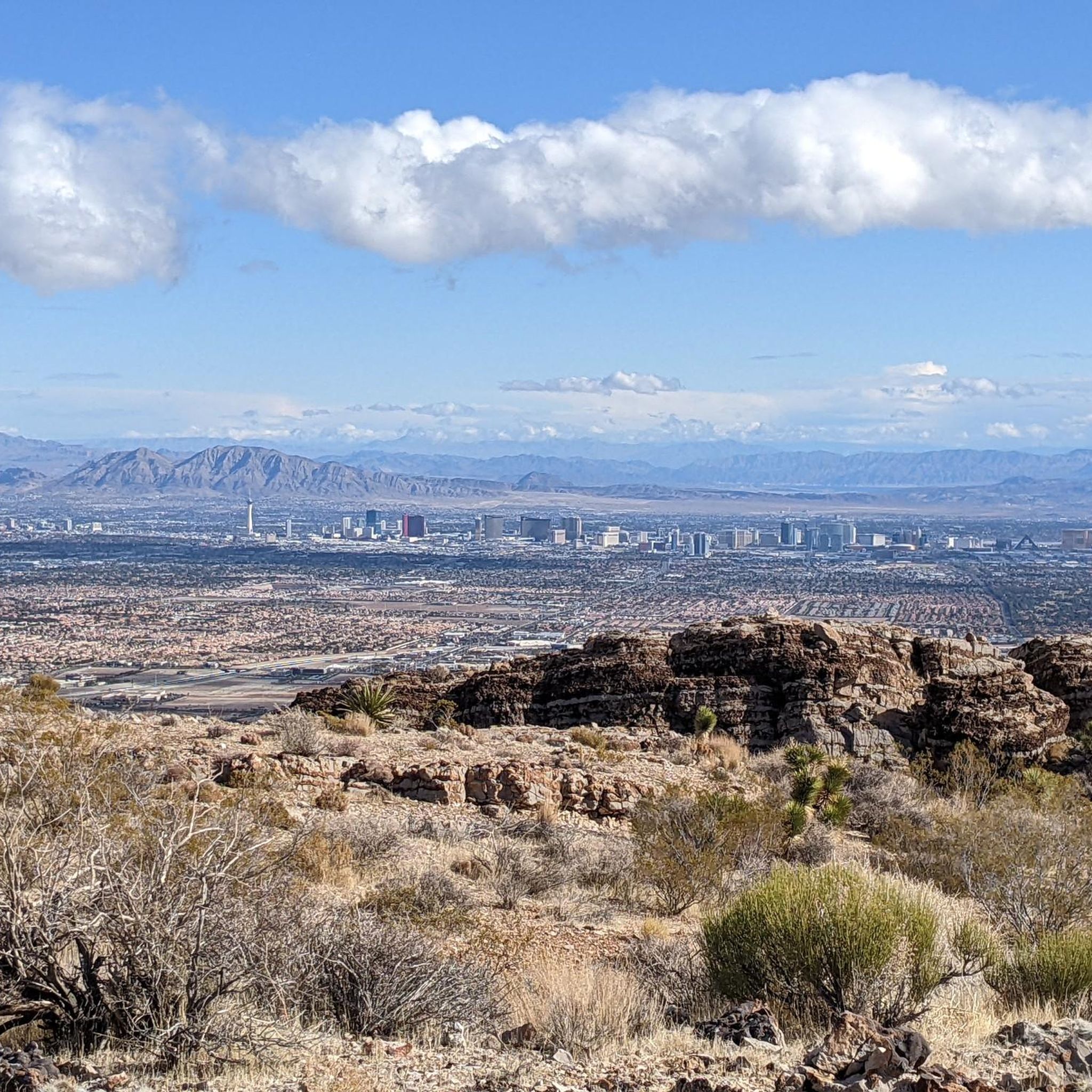
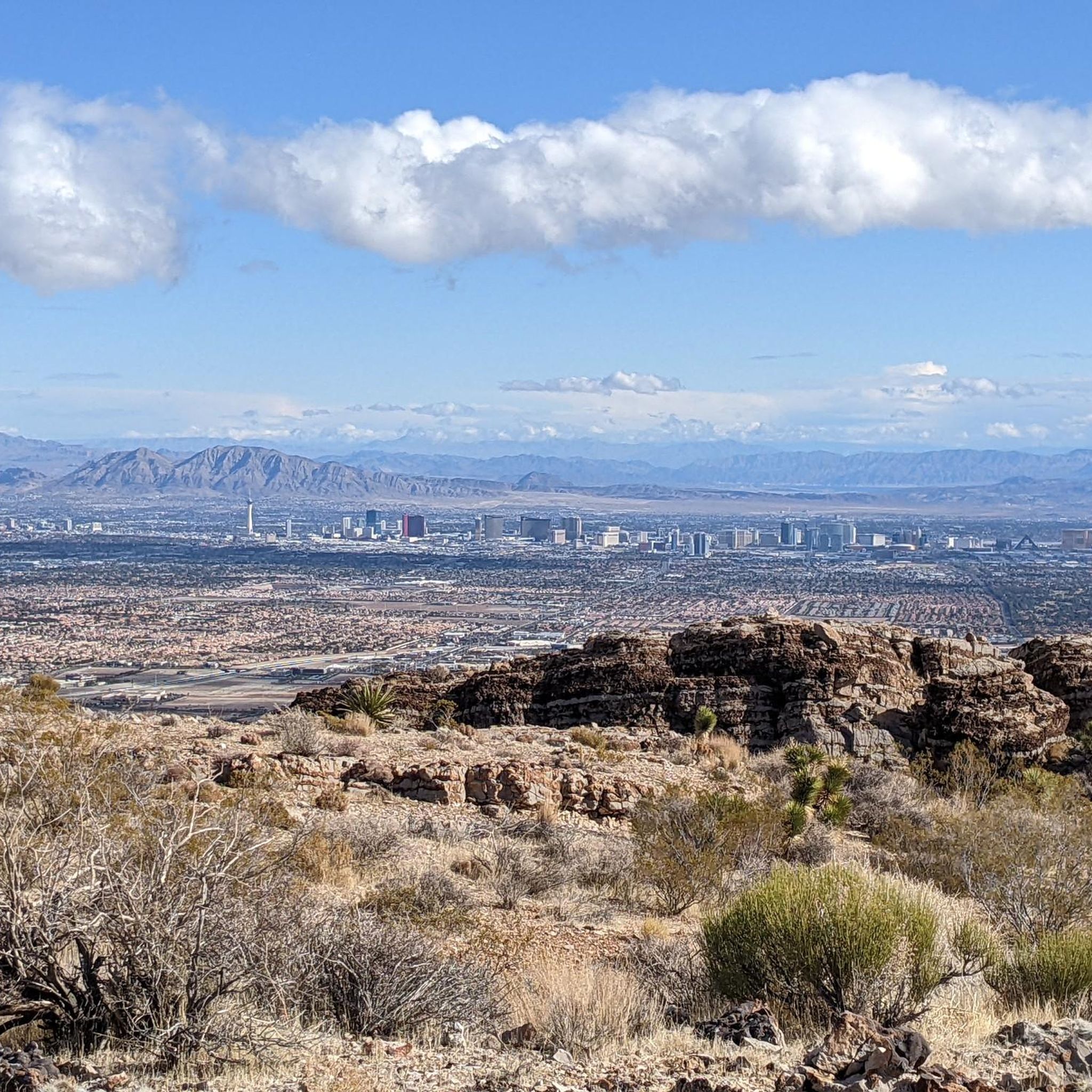
This trailhead is the main access point to the Bears Best Trail System. This extensive network of trails connects to other systems including Blue Diamond and Cowboy Trails, which have trails of varying difficulties; there really is something for everyone in an amazing desert setting! In the spring, summer, and early fall look out for desert tortoises in this area! They blend into the surroundings and can look like rocks! Please do not pick up or handle a tortoise unless they are in danger of getting hit; in those cases you can carefully pick up the tort by the sides of it shell, keep it low to the ground and move it in the direction it was headed (and sanitize your hands afterward!). Other than that, please do not touch a tort or get too, too close to one in the wild because scaring them can actually be deadly! When afraid, they will pee as a last resort defense mechanism. Desert tortoises are able to drink water in large amounts (up to 45% of their body weight), which is stored for future use and critical to their survival all year. They can actually live off of one big drink a year! If startled, however, they might urinate and lose their critical water stores and die of dehydration. Additionally, wild torts carry a bunch of diseases including salmonella and herpes, so you also don’t want to handle them for your own safety!
0
0
Frequently Asked Questions
How many mountain bike trails are available in Summerlin South?
There are over 25 mountain bike routes available around Summerlin South, offering a diverse range of experiences for riders of all skill levels.
What is the typical difficulty level of mountain bike trails in Summerlin South?
The trails in Summerlin South offer a good mix of difficulties. You'll find 10 easy routes, 14 moderate routes, and 2 more challenging routes, ensuring options for beginners to advanced riders.
Are there mountain bike trails suitable for beginners in Summerlin South?
Yes, Summerlin South has several easy mountain bike trails perfect for beginners. For example, the Mesa Park – Permagrin Trail loop is an easy 10-mile route that provides a great introduction to the area's terrain. The Bear's Best loop is another easy option, offering a classic Mojave Desert setting.
What kind of terrain can I expect on mountain bike trails in Summerlin South?
You can expect a diverse desert landscape. Many trails feature classic Mojave Desert settings with iconic Joshua Trees and striking granite slickrock formations. Riders often encounter a mix of loose dirt, rocks, and some challenging obstacles, especially on more technical routes like the Cowboy Trails.
Are there any family-friendly mountain bike trails in Summerlin South?
For families or those seeking a less strenuous ride, the Lone Mountain Equestrian Trail offers an easier option. Additionally, the South Summerlin Parkway is a 5.2-mile paved path suitable for gravel biking and adaptive bikes, providing an accessible and enjoyable experience for all.
What are some popular loop mountain bike trails in Summerlin South?
Many trails in Summerlin South are designed as loops, offering varied scenery. Besides the popular routes mentioned in the guide's introduction, you can explore the Bears Best Trailhead – Benchmark Trail loop, a moderate 19.4-mile route, or the easier Mesa Park – Permagrin Trail loop.
What is the best time of year to go mountain biking in Summerlin South?
The best time for mountain biking in Summerlin South is typically during the cooler months, from late fall through spring (October to April). Summers can be extremely hot in the Mojave Desert, making early morning or late evening rides essential if riding during that season.
What kind of wildlife might I encounter on the trails?
As you ride through the Mojave Desert, you might encounter various desert wildlife. Keep an eye out for desert tortoises, jackrabbits, roadrunners, and various bird species. While less common, coyotes and snakes are also native to the area.
Are there any notable natural landmarks or attractions near the mountain bike trails?
Absolutely. Many trails are near or connect to the Red Rock Canyon National Conservation Area, known for its dramatic red sandstone cliffs. You can also find highlights like the Sandstone Quarry, the Calico Tanks Trail, and the scenic Red Rock Canyon Scenic Drive. The region also offers views of the Spring Mountains, including Mount Potosi and Mount Charleston.
Where can I find parking for mountain biking in Summerlin South?
Many trailheads in and around Summerlin South, especially those connecting to the Red Rock Canyon area or within the larger Summerlin trail system, offer designated parking. Specific parking information is often available on individual route pages or at the start of popular trail networks like the Bears Best area.
What do other mountain bikers say about the trails in Summerlin South?
The mountain biking trails in Summerlin South are highly rated by the komoot community, with an average score of 5.0 stars from 8 reviews. Riders often praise the unique desert scenery, the well-maintained trails, and the variety of options for different skill levels.
Are there options for more advanced mountain bikers in Summerlin South?
Yes, advanced riders will find challenging options. The Cowboy Trails, for instance, are known for their long climbs and steep, technical descents through rugged desert terrain. Trails like Wicked Garden also cater to more experienced riders looking for a difficult challenge.
Most popular attractions around Summerlin South

Get inspired with the komoot mobile app


Explore more
Browse the best MTB trails in other regions.
