The best road cycling routes around Skyland
4.8
(5)
368
riders
21
rides
Road cycling routes around Skyland navigate a landscape characterized by significant elevation changes, with routes often traversing mountain passes and offering views of expansive lake areas. The region features a mix of forested sections and open roads, providing varied terrain for road cyclists. Roads often follow natural contours, including river paths and lakeside stretches.
Best road cycling routes around Skyland
- The most popular road cycling route is Echo Summit loop, a 27.1 miles (43.6 km) trail that takes 2…
Last updated: October 11, 2026
9
riders
43.6km
02:04
550m
550m
Cycle the Echo Summit loop, a moderate 27.1-mile road cycling route in South Lake Tahoe with challenging climbs and panoramic views.
76
riders
Moderate road ride. Good fitness required. Mostly well-paved surfaces and easy to ride.

49
riders
89.2km
04:31
1,420m
1,420m
Hard road ride. Very good fitness required. Mostly well-paved surfaces and easy to ride.
45
riders
39.1km
01:40
280m
280m
Easy road ride. Great for any fitness level. Mostly well-paved surfaces and easy to ride.
5.0
(1)
45
riders
Easy road ride. Great for any fitness level. Mostly well-paved surfaces and easy to ride.
Get access to more routes and recommendations from other explorers.
Already have an account?
Our route recommendations are based on thousands of hikes, rides, and runs completed by other people on komoot.
Start today with a free account
Your next adventure awaits.

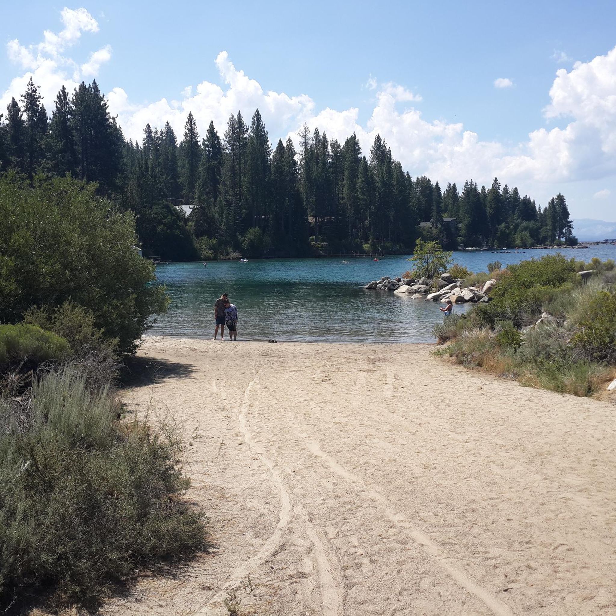
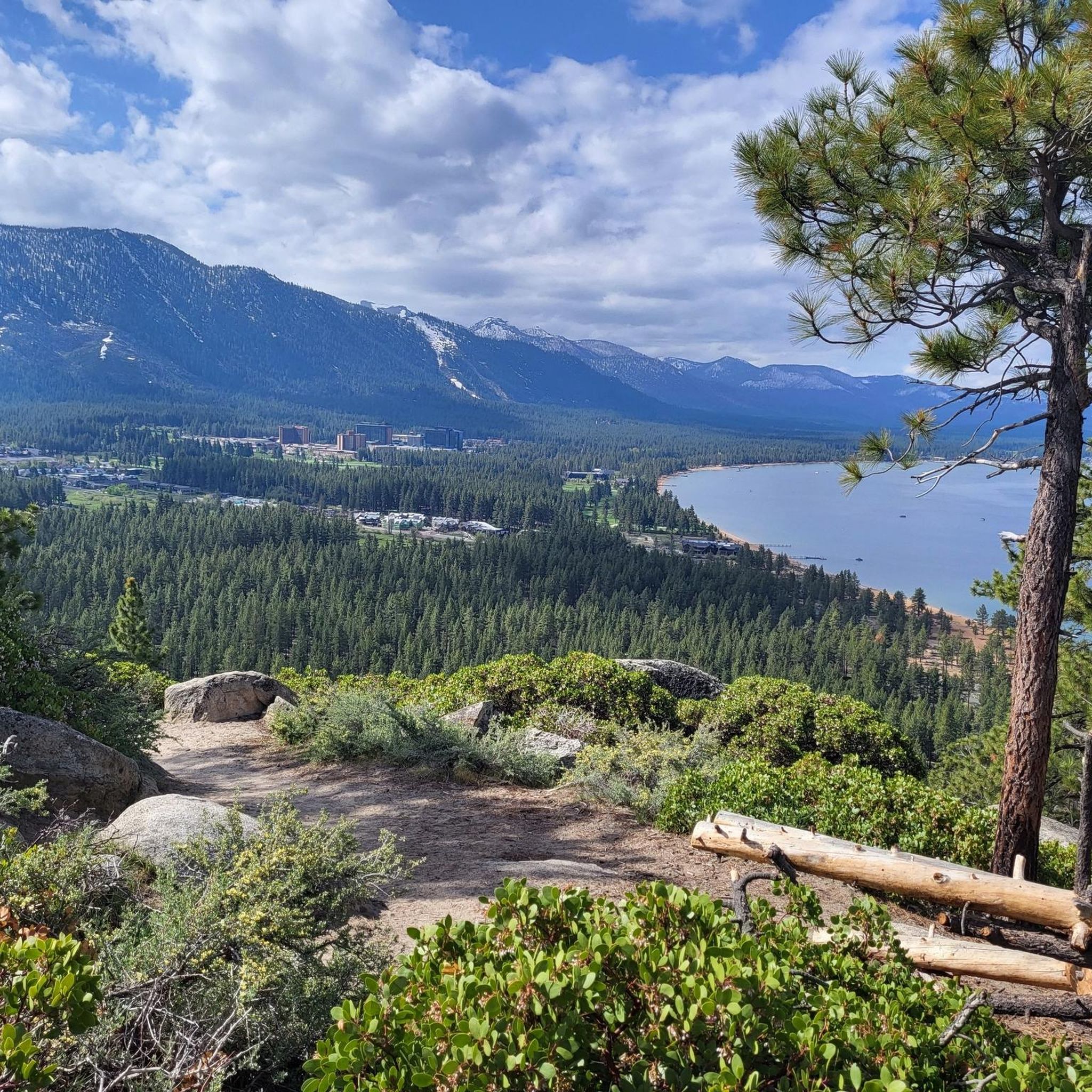
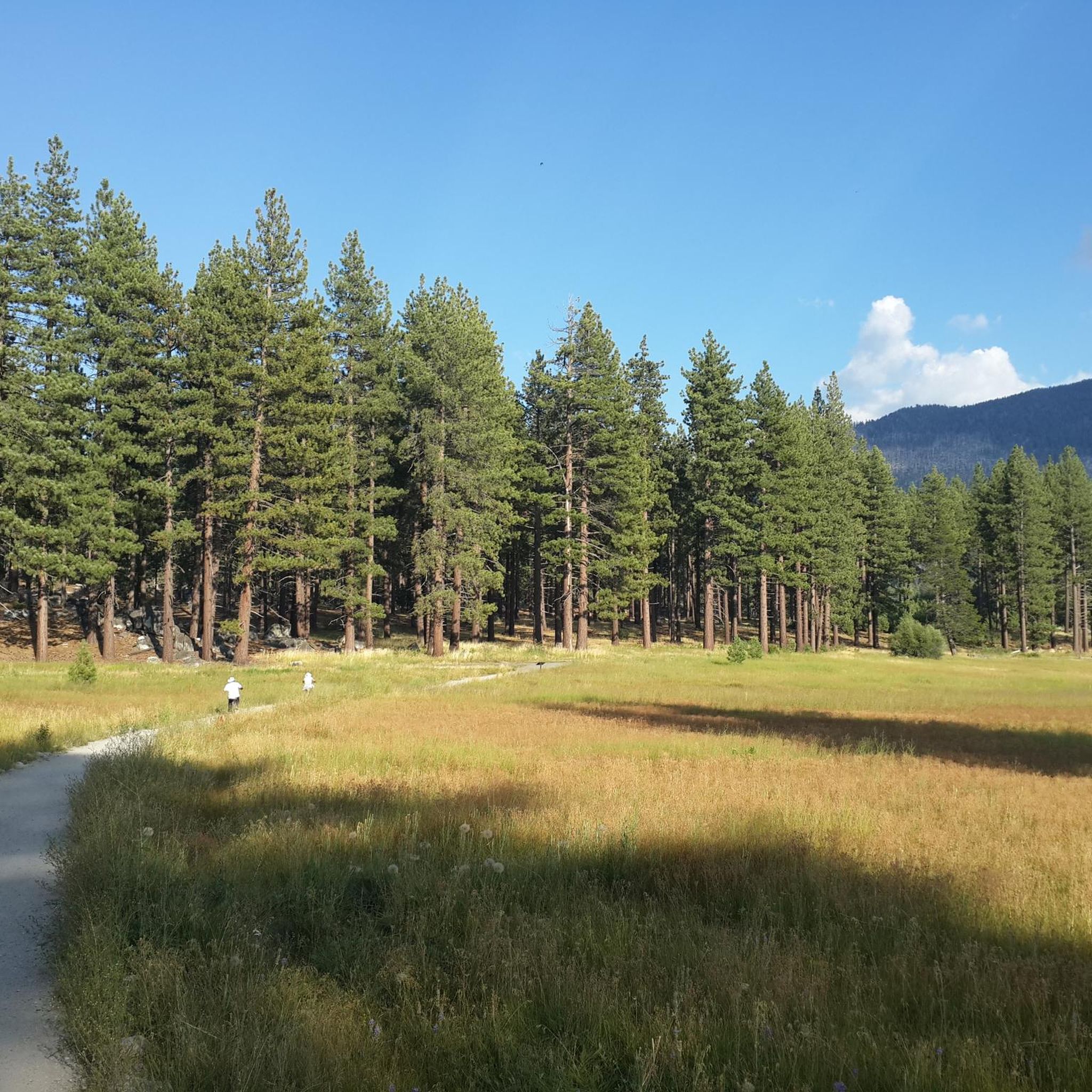
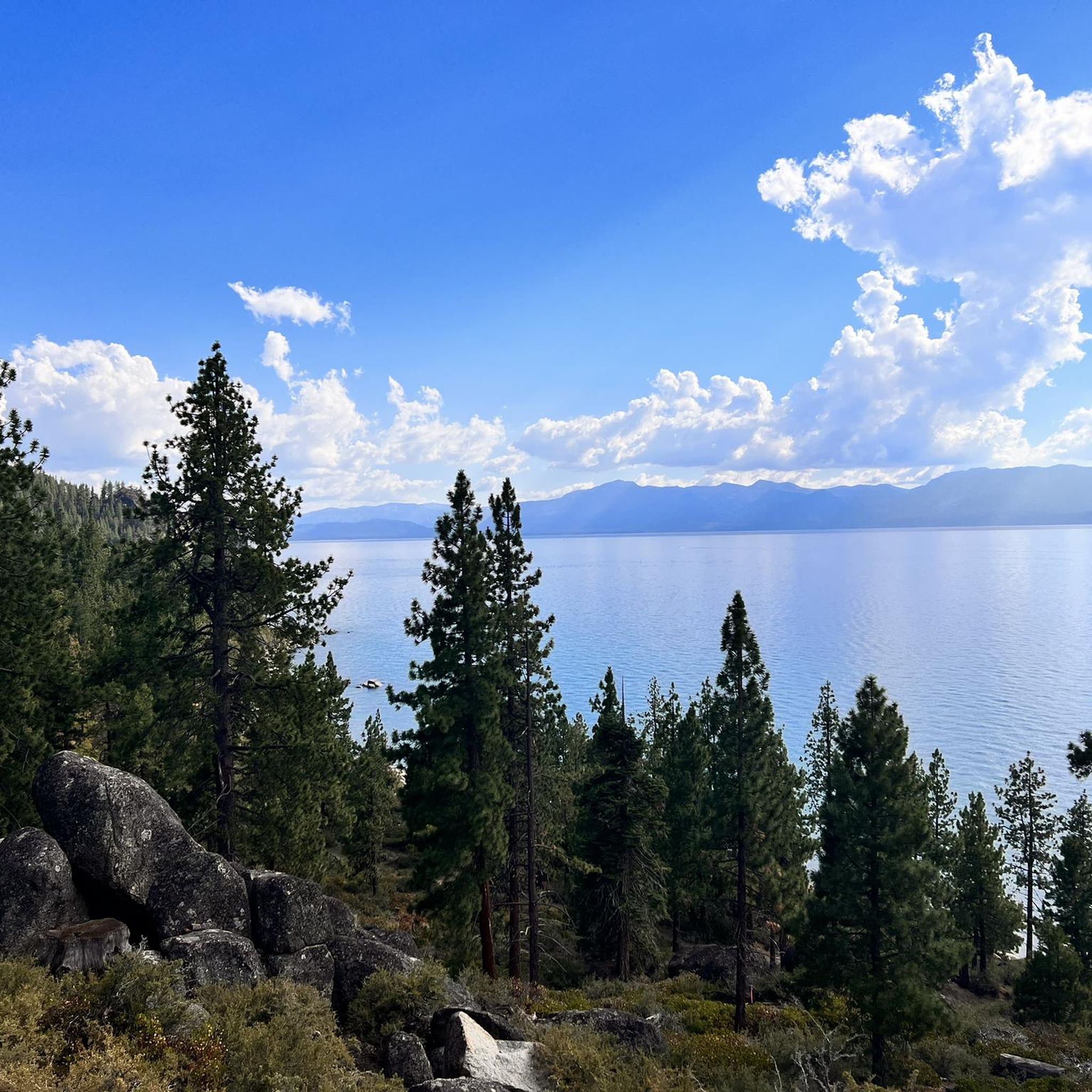
Other adventures around Skyland

Tips from the Community

Fantastic views. Unfortunately, completely overcrowded.
0
0

The El Dorado Trail links South Lake Tahoe to Meyers with a network of paved bike paths along Lake Tahoe Boulevard, Sawmill Road, and Hwy 50. This paved trail brings visitors to natural areas as well as restaurants, markets, and shops.
0
0

A smattering of picnic tables dot the water's edge and a signpost helps identify native and non-native fish in the pond. This is a fantastic place to bring kids, with a highly accessible shoreline and shaded wall to sit on at the edge of the water. It's also a great spot to take a break from your ride!
0
0
CA-89 takes you over the West Fork Carson river as you ride across the heart of this absolutely stunning valley.
0
0

The Bayview Campground would offer a good parking lot. However, it is now closed until Spring 2025. Maybe one has to consider parking along the street during day trips.
0
0

Perfect paved dedicated bike trail in safe distance from roads
2
0
Frequently Asked Questions
What kind of terrain can I expect on road cycling routes around Skyland?
Road cycling routes in Skyland are characterized by significant elevation changes, often traversing mountain passes. You'll find a mix of forested sections and open roads, with many routes following natural contours like river paths and expansive lakeside stretches. This varied terrain offers diverse experiences for cyclists.
Are there road cycling routes suitable for beginners in Skyland?
Yes, Skyland offers several options for less experienced road cyclists. There are 7 easy routes available, providing a gentler introduction to the region's beautiful scenery without overly challenging climbs. An example of an easy route is the Upper Truckee River Bike Path – South Lake Tahoe Beach loop from Van Sickle Bi-State Park.
How many road cycling routes are available in Skyland?
There are 19 road cycling routes documented around Skyland on komoot. These routes cater to various skill levels, including 7 easy, 8 moderate, and 4 difficult options.
What are some of the more challenging road cycling routes in Skyland?
For experienced road cyclists seeking a challenge, Skyland offers 4 difficult routes. These typically feature significant elevation gains and longer distances. A notable difficult route is the Stateline-South Lake Tahoe – South Lake Tahoe Beach loop from Stateline, which covers 54.6 miles (87.9 km) with substantial climbing.
Are there any circular road cycling routes in Skyland?
Yes, all the road cycling routes listed for Skyland are designed as loops, allowing you to start and finish at the same point. This makes planning your ride and return journey straightforward. Examples include the Echo Summit loop and the South Lake Tahoe Beach – Cascade Falls Trailhead loop from Van Sickle Bi-State Park.
What scenic attractions can I see along the road cycling routes in Skyland?
Many routes offer stunning views of Lake Tahoe and the surrounding natural beauty. You can pass by highlights such as South Lake Tahoe Beach, the Upper Truckee River Bike Path, and even a Bridge & Waterfall. Other natural monuments like Cave Rock and Spooner Lake are also nearby.
Are there any viewpoints or natural monuments accessible from the road cycling routes?
Absolutely. Cyclists can enjoy panoramic views from spots like Castle Rock. The region also features impressive natural monuments such as Cave Rock and the serene Spooner Lake, offering picturesque stops during your ride.
What do other road cyclists enjoy most about road cycling in Skyland?
The road cycling routes in Skyland are highly rated by the komoot community, with an average score of 4.7 stars. Reviewers often praise the diverse terrain, from challenging mountain passes to scenic lakeside stretches, and the stunning views of Lake Tahoe and its surroundings.
Are there any routes that pass through or near notable parks?
Yes, several routes either start from or pass near significant parks. For instance, the Van Sickle Bi-State Park – Sawmill Pond loop from Van Sickle Bi-State Park begins directly from Van Sickle Trailhead, offering easy access to the park's amenities and trails.
When is the best time of year to go road cycling in Skyland?
The best time for road cycling in Skyland is typically from late spring through early autumn (May to October). During these months, the weather is generally mild, and mountain passes are clear of snow, offering optimal riding conditions and access to all routes. Winter cycling can be challenging due to snow and ice at higher elevations.
Are there any longer road cycling routes for endurance training in Skyland?
For those looking for longer rides, Skyland offers several routes that extend beyond 25 miles. The Stateline-South Lake Tahoe – South Lake Tahoe Beach loop from Stateline is a substantial option, covering 54.6 miles (87.9 km) and providing a significant endurance challenge with considerable elevation gain.
Most popular attractions around Skyland

Get inspired with the komoot mobile app


Explore more
Browse the best Road cycling routes in other regions.
