The best road cycling routes around Bozeman
5.0
(3)
423
riders
16
rides
Road cycling around Bozeman offers diverse terrain set against a backdrop of six mountain ranges, including the Bridger Mountains and Gallatin Range. The region features expansive valleys, such as the Gallatin Valley, providing open scenery and views of the surrounding peaks. Paved roads wind through areas like Hyalite Canyon, offering dedicated cycling experiences. This varied landscape provides a range of road cycling opportunities for different skill levels.
Best road cycling routes around Bozeman
- The most popular road cycling route is The Gallagator Trail – Sourdough Trail loop from Bozeman, a 38.3 miles (61.6 km) trail that takes 3 hours 21 minutes to complete. This moderate route connects urban areas with scenic valley views.
- Another top favourite among local road cyclists is Bridger Canyon – Flaming Arrow Rock loop from Bridger Creek, a moderate 43.8 miles (70.4 km) path. This route offers expansive views of the Bridger Mountains.
- Local road cyclists also love the Roadbike loop from Bon Ton, a 14.0 miles (22.5 km) trail leading through the local area, often completed in about 1 hour 8 minutes.
- Road cycling around Bozeman is defined by its surrounding mountain ranges, the open Gallatin Valley, and scenic canyons like Hyalite, with options for both easy rides and more challenging routes. The network offers options for different ability levels, from leisurely spins to longer, more demanding climbs.
- The routes in Bozeman are highly rated by the komoot community with an average score of 4.0 stars from 2 reviews. More than 390 road cyclists have used komoot to explore Bozeman's varied terrain.
Last updated: October 15, 2026
69
riders
62.3km
03:23
640m
640m
Moderate road ride. Good fitness required. Some segments of this route may be unpaved and difficult to ride.
38
riders
41.2km
02:15
420m
420m
Moderate road ride. Good fitness required. Some segments of this route may be unpaved and difficult to ride.

45
riders
26.2km
01:27
250m
250m
Moderate road ride. Great for any fitness level. Some segments of this route may be unpaved and difficult to ride.
28
riders
Moderate road ride. Great for any fitness level. Some segments of this route may be unpaved and difficult to ride.
24
riders
30.9km
01:49
250m
250m
Moderate road ride. Great for any fitness level. Some segments of this route may be unpaved and difficult to ride.
Get access to more routes and recommendations from other explorers.
Already have an account?
Our route recommendations are based on thousands of hikes, rides, and runs completed by other people on komoot.
Start today with a free account
Your next adventure awaits.

Tips from the Community

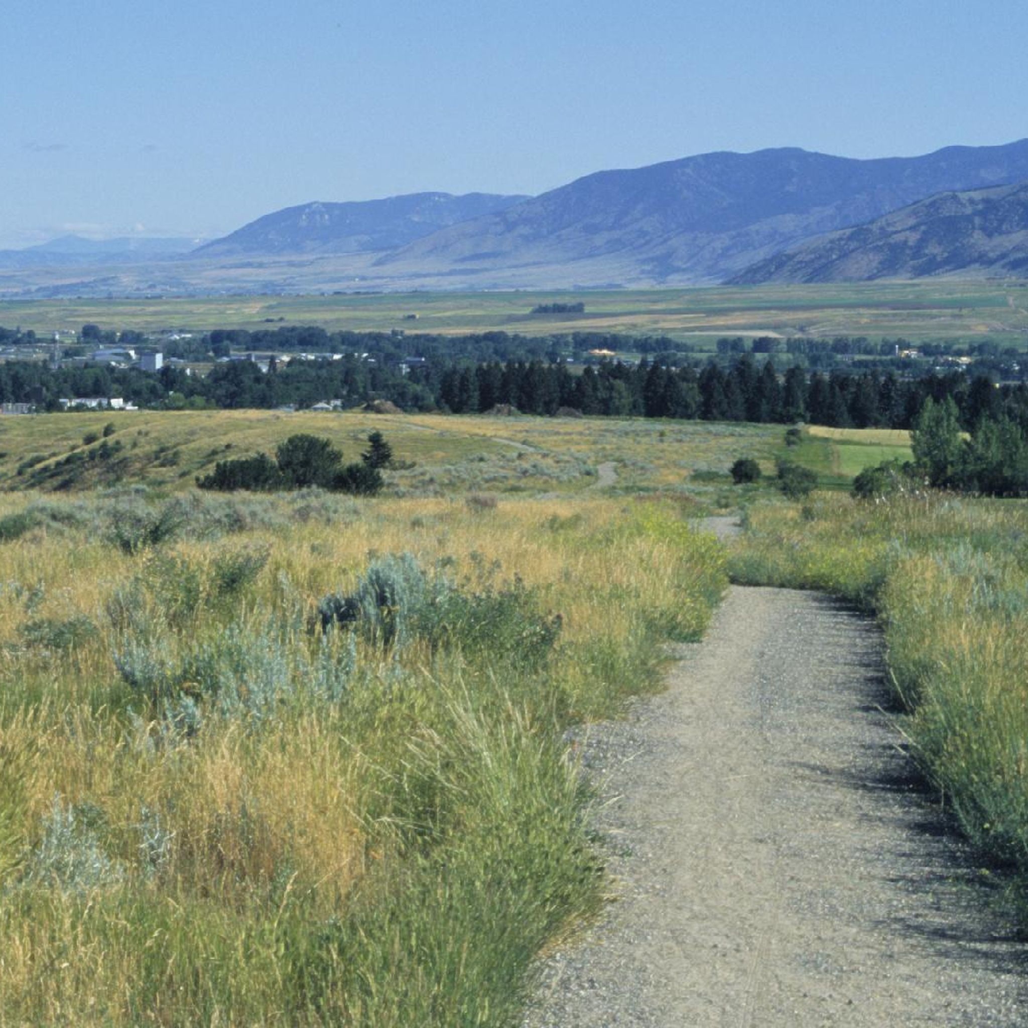
Commonly referred to as the "Cow Trails," the Highland Glen Nature Preserve has a network of single track and double track trails that are open to biking, running, and hiking. In the winter, this is a cross country ski area. The trails get their nickname from the herd of cows that lives in the preserve. Make sure to always close and latch any gates that you go through!
0
0

The spur trail is well-maintained, finely crushed gravel.
0
0

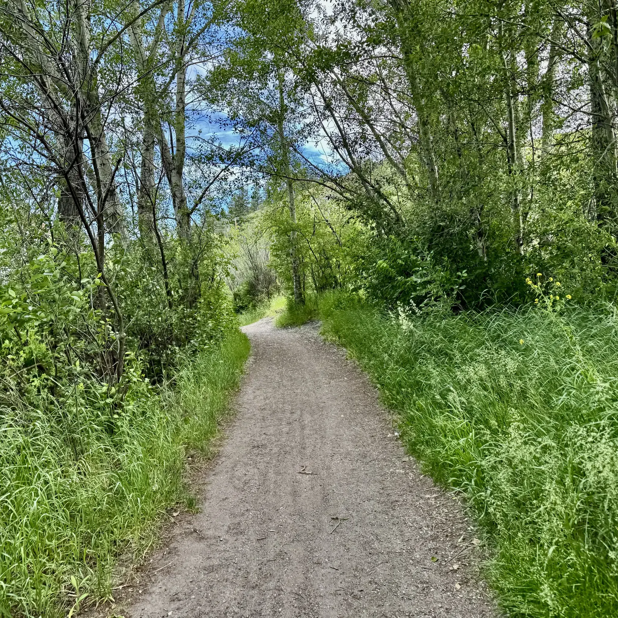
This is the northern terminus for the Gallagator Trail. The trail is a popular route for walkers and cyclists. It is crushed gravel and takes you into the center of Bozeman via a beautiful tree lined gravel path.
0
0
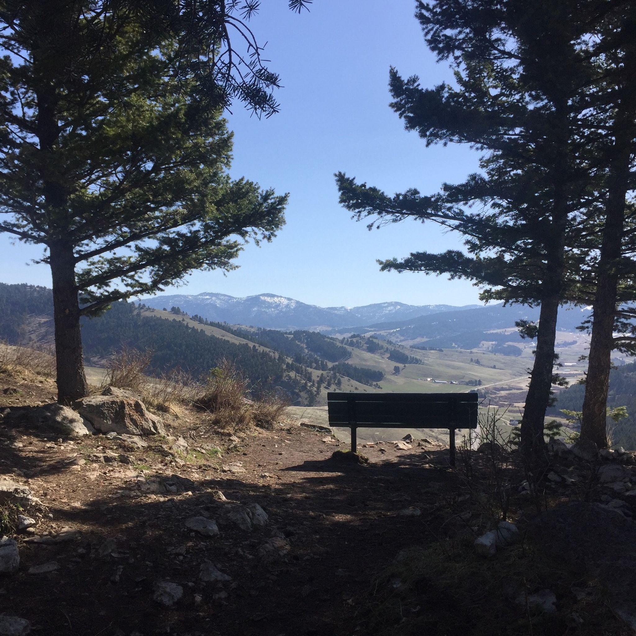
This is the trail head for the Triple Tree Trail. It is a popular loop in the southern suburbs of Bozeman, frequented by runners, hikers, and bikers. Expect to encounter plenty of other trail users, especially on nice days. Much of the route winds through forested areas, eventually leading to a bald summit with a bench and sweeping views of Bozeman and the Bridger Range. The lookout is exposed, offering little to no shade.
0
0
Story Mill Nature Reserve is a 40 acre nature sanctuary that has several miles of trails that cut through a large green space. There are still remnants of the water-powered mill and grain elevator that used to be active on this land.
0
0

Nice road with a short steep climb up to 11% eastward to summit. Good way to get to/from Bozeman to miss the busier lower sections of Bridger Canyon Road. Not much traffic!
0
0

Bozeman Fish Technology Center is a working fish hatchery that you can visit just outside of Bozeman, Montana in Bridger Canyon. You can view and feed the fish, learn about the important work and services that fish hatcheries provide, and hike one of over 2,100 miles of trails and boardwalks located near the facility.
0
0
Frequently Asked Questions
What kind of road cycling routes can I find around Bozeman?
Bozeman offers a diverse range of road cycling routes, from easy urban rides to more challenging climbs. You'll find paths through expansive valleys with mountain views, as well as scenic paved roads in canyons like Hyalite, which are sometimes closed to vehicles for exclusive cycling access. The region caters to various skill levels, with options for leisurely spins and longer, more demanding climbs.
Are there any easy or beginner-friendly road cycling routes in Bozeman?
Yes, Bozeman has several easy routes suitable for beginners or those looking for a relaxed ride. For example, the Roadbike loop from Bon Ton is an easy 14.0-mile (22.5 km) trail that takes just over an hour to complete. The Gallagator Trail, mentioned in the region research, also offers a leisurely ride through town with continuous mountain views.
What are some scenic highlights or landmarks I can see while road cycling in Bozeman?
Road cycling routes around Bozeman offer stunning views of the surrounding six mountain ranges, including the Bridger Mountains and Gallatin Range. You can experience the open scenery of the Gallatin Valley. Specific routes like the Bridger Canyon – Flaming Arrow Rock loop provide expansive views of the Bridger Mountains. Hyalite Canyon is known for its scenic paved road leading to Hyalite Reservoir, often without vehicle traffic. You might also pass by natural features like the Highland Glen Nature Preserve or the Bridger Canyon itself.
When is the best time of year for road cycling in Bozeman?
Bozeman is a premier destination for outdoor activities, and road cycling is particularly enjoyable during the warmer months. Spring and fall offer pleasant temperatures and beautiful scenery. While specific weather conditions can vary, the region's diverse landscapes are best experienced when roads are clear of snow and ice, typically from late spring through early fall.
Are there any family-friendly road cycling options in Bozeman?
For families, the Gallagator Trail is an excellent option. It runs directly through town, offering a leisurely and scenic ride with continuous mountain views, connecting Montana State University to downtown Bozeman. This trail provides a safe and enjoyable experience for all ages.
Where can I rent a bike in Bozeman?
Bozeman has a vibrant cycling community with local bike shops that offer rentals. Shops like Bangtail Bikes and Owenhouse Cycling are known to provide bike rentals, gear, and valuable local advice, making it easy to get equipped for your ride.
What do other road cyclists think about the routes in Bozeman?
The road cycling routes in Bozeman are highly rated by the komoot community, with an average score of 4.0 stars. Over 390 road cyclists have used komoot to explore the varied terrain, often praising the diverse routes and stunning natural backdrops provided by the surrounding mountain ranges and valleys.
Are there any road cycling routes that offer significant elevation gain for a challenge?
Yes, Bozeman offers challenging routes with significant elevation gain for experienced cyclists. While specific routes are not detailed here, the region's setting amidst six mountain ranges, including the Bridger Mountains and Gallatin Range, naturally provides opportunities for demanding climbs. Routes like the Highland Glen Nature Preserve – Kelly Canyon Road loop, at 73.4 miles (118.1 km) with over 850 meters of elevation gain, offer a substantial challenge.
Can I find loop routes for road cycling around Bozeman?
Many of the road cycling routes around Bozeman are designed as loops, allowing you to start and end in the same location. Examples include the popular The Gallagator Trail – Sourdough Trail loop from Bozeman, the Bridger Canyon – Flaming Arrow Rock loop, and the Roadbike loop from Bon Ton.
Are there any road cycling routes that are particularly long or require more time to complete?
For longer rides, routes like the Highland Glen Nature Preserve – Kelly Canyon Road loop from Bozeman cover a distance of 73.4 miles (118.1 km) and typically take over 4 hours to complete. Another substantial option is the Bridger Canyon – Flaming Arrow Rock loop, which is 43.8 miles (70.4 km) long and takes around 3.5 hours.
Are there any specific regulations or permits needed for road cycling in the Bozeman area?
Generally, road cycling on public roads and designated trails in Bozeman does not require special permits. However, it's always advisable to check local regulations for specific areas, especially if you plan to venture into national forests or other protected lands. Always respect local signage and rules of the road.
What amenities are available near the road cycling routes in Bozeman?
Bozeman is a city with a strong outdoor culture, so you'll find various amenities. Near urban trails like the Gallagator, you'll have access to cafes, restaurants, and shops. For routes venturing further out, it's wise to carry sufficient water and snacks. Local bike shops can also provide advice on amenities along specific routes.
Most popular routes around Bozeman
Most popular attractions around Bozeman

Get inspired with the komoot mobile app


Explore more
Browse the best Road cycling routes in other regions.
