The best road cycling routes around Parkville
4.3
(5)
142
riders
16
rides
Road cycling around Parkville features routes that traverse riverfront paths and follow creek-side trails. The terrain includes gentle rolling hills, with elevation gains typically under 300 meters. The region offers a mix of paved surfaces suitable for road bikes, often passing through natural areas and suburban landscapes.
Best road cycling routes around Parkville
- The most popular road cycling route is Line Creek Trail – Missouri Riverfront Trail loop from Parkville, a 29.6 miles (47.7 km) trail that takes 3…
Last updated: July 15, 2026
3.0
(1)
14
riders
47.6km
03:03
290m
290m
Moderate road ride. Good fitness required. Some segments of this route may be unpaved and difficult to ride.
12
riders
Easy road ride. Great for any fitness level. Mostly well-paved surfaces and easy to ride.

Sign up for free
5.0
(1)
6
riders
63.4km
03:51
460m
460m
Moderate road ride. Good fitness required. Some segments of this route may be unpaved and difficult to ride.
3
riders
38.2km
01:49
330m
330m
Moderate road ride. Good fitness required. Mostly well-paved surfaces and easy to ride.
7
riders
43.1km
02:12
320m
320m
Moderate road ride. Good fitness required. Mostly well-paved surfaces and easy to ride.
Get access to more routes and recommendations from other explorers.
Sign up for free
Already have an account?
Our route recommendations are based on thousands of hikes, rides, and runs completed by other people on komoot.
Start today with a free account
Your next adventure awaits.
Login or Signup


Tips from the Community

This 8 mile multi-use trail is a great place to go for a peaceful ride. It's a great place to look for deer, birds, and other wildlife as you roll along.
0
0

The Line Creek Trail is a multiuse trail that passes through beautiful countryside. The trail is 8 miles long and is fully paved. There is frequently deer, squirrels and birds alongside the path, so if you keep an eye out, you may see some wildlife.
0
0
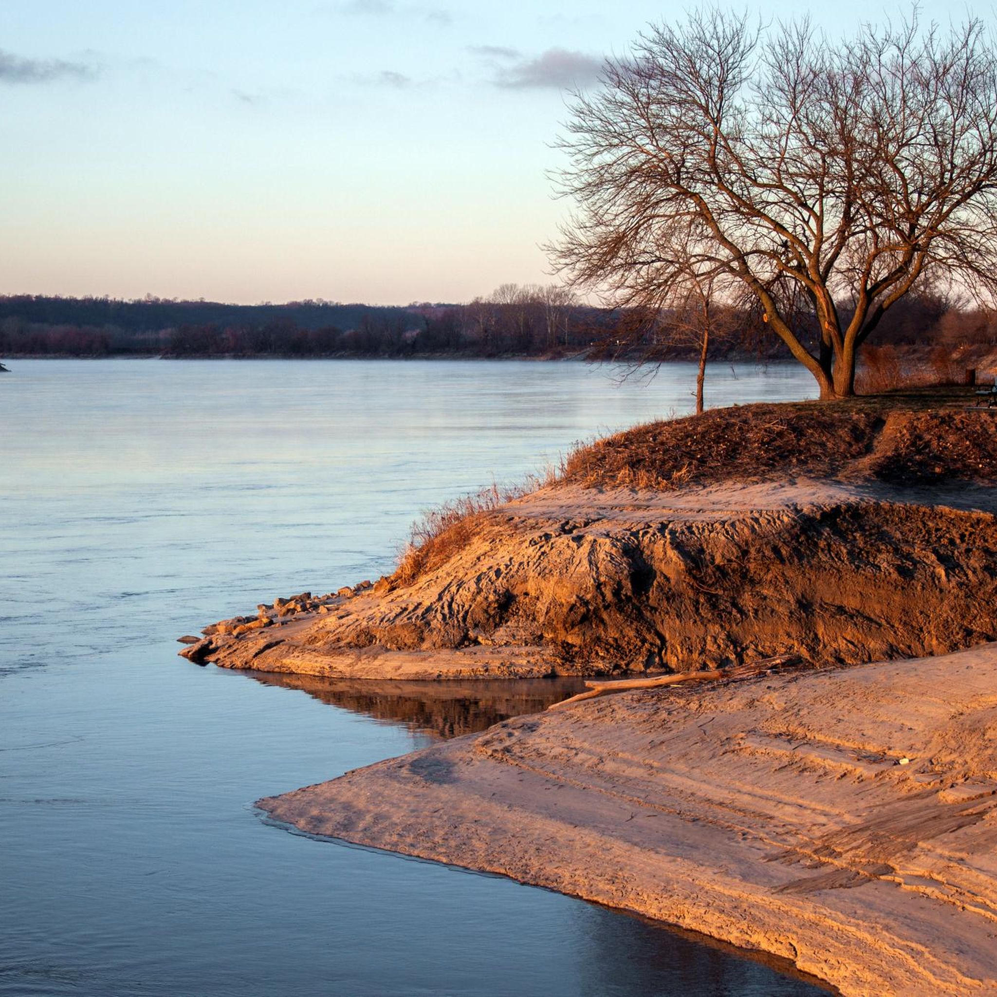
The Missouri Riverfront Trail is an almost 5-mile long multiuse trail. As the name suggests, the path follows alongside the Missouri River and at certain times, it gives you great views of the water. The trail ends at Platte Landing Park.
1
0

This area was once a healthy, forested route for people traveling west on the Santa Fe Trail. However, by the late 1800s, many of the trees were cut down and buildings were erected in their place. Today, the area features various monuments, statues, and a beautiful lake to explore.
0
0

The north end of the bridge overlooks the Missouri River, while the south end looks out onto the city. The Missouri River flows over 2300 miles, starting in the Rockies and emptying into the Mississippi just north of Kansas City.
2
0
From this trailhead the Line Creek Trail continues around two miles south toward the Missouri River and the Riverside Waterfall, and around eight miles north toward the community center and miniature railroad.
0
0
A shallow double-terraced waterfall along the Line Creek Trail. Most easily accessible by a short walk south from the community center trailhead.
0
0
A triple terraced waterfall along the Line Creek Trail. The easiest access is a mile south from the community center trailhead near Frank Vaydik park.
0
0
Frequently Asked Questions
How many road cycling routes are available around Parkville?
There are over 15 road cycling routes around Parkville, offering a variety of experiences for different skill levels.
What is the typical terrain like for road cycling in Parkville?
The terrain around Parkville features riverfront paths and creek-side trails, with gentle rolling hills. Elevation gains are typically under 300 meters, and routes are mostly on paved surfaces suitable for road bikes.
Are there road cycling routes suitable for beginners in Parkville?
Yes, Parkville offers 5 easy road cycling routes. An example is the Line Creek Trail – Line Creek Trail loop from 229, which is 26.4 miles (42.5 km) long with an elevation gain of 185 meters.
What kind of distances can I expect on road cycling routes in Parkville?
Road cycling routes in Parkville vary in distance. For example, the Line Creek Trail – Missouri Riverfront Trail loop from Parkville is 29.6 miles (47.7 km), while the Line Creek Trail loop from Oak Park High School covers 32.6 miles (52.4 km).
Are there any family-friendly road cycling options in Parkville?
While specific 'family-friendly' designations aren't always given, the region's easy routes with paved surfaces and gentle rolling hills, such as those along the Line Creek Trail, can be suitable for families with older children or those comfortable with moderate distances. Always check the route details for specific suitability.
What can I see along the road cycling routes in Parkville?
Many routes offer views along the Missouri Riverfront and follow the Line Creek Trail. You might also encounter natural areas and suburban landscapes. Notable attractions include the Missouri Riverfront Trail itself and Platte Landing Park.
Are there any loop road cycling trails in Parkville?
Yes, many of the popular road cycling routes in Parkville are loops. Examples include the Line Creek Trail – Missouri Riverfront Trail loop from Citi Cards and the Roadbike loop from North Kansas City.
What do other road cyclists enjoy most about road cycling in Parkville?
The area is highly rated by the komoot community, with an average score of 4.0 stars from over 4 reviews. Reviewers often praise the varied scenery along riverfront paths and creek-side trails, as well as the well-maintained paved surfaces.
What is the best time of year for road biking in Parkville?
Road biking in Parkville is generally pleasant during spring and fall when temperatures are mild. Summer can be warm, so early morning or late afternoon rides are often preferred. Winter riding is possible, but check weather conditions for ice or snow, especially on shaded creek-side paths.
Are there any viewpoints or scenic spots along the routes?
Many routes offer scenic views, particularly along the Missouri Riverfront and where they follow the Line Creek. These areas provide opportunities to enjoy the natural surroundings and river vistas.
Is there public transport access to the road cycling trails in Parkville?
Public transport options directly to trailheads can be limited. It's advisable to check local bus routes or consider driving to a starting point with parking, such as near Oak Park High School or other designated trail access points.
Where can I find parking for road bike trails in Parkville?
Many routes start from locations with available parking. For instance, the Line Creek Trail loop from Oak Park High School suggests a starting point with parking facilities. Always verify parking availability at your chosen trailhead.
Most popular attractions around Parkville

Get inspired with the komoot mobile app


Explore more
Browse the best Road cycling routes in other regions.
