The best road cycling routes around Springfield
4.6
(9)
253
riders
39
rides
Road cycling routes around Springfield, Missouri, are set within a landscape characterized by the rolling terrain of the Ozarks woodlands and an extensive network of greenway trails. The region features varied elevations, including areas around the James River and local parks. Cyclists can expect routes that traverse urban green spaces, connect to natural areas, and offer views of local waterways.
Best road cycling routes around Springfield
- The most popular road cycling route is Waterfall in Sequiota Park – James River…
Last updated: October 12, 2026
21
riders
Moderate road ride. Good fitness required. Mostly well-paved surfaces and easy to ride.
5.0
(2)
20
riders
Easy road ride. Great for any fitness level. Mostly well-paved surfaces and easy to ride.

5.0
(2)
16
riders
21.0km
00:57
110m
110m
Easy road ride. Great for any fitness level. Mostly well-paved surfaces and easy to ride.
4.0
(1)
16
riders
34.0km
01:38
150m
150m
Easy road ride. Great for any fitness level. Mostly well-paved surfaces and easy to ride.
8
riders
28.7km
01:18
110m
110m
Easy road ride. Great for any fitness level. Mostly well-paved surfaces and easy to ride.
Get access to more routes and recommendations from other explorers.
Already have an account?
Our route recommendations are based on thousands of hikes, rides, and runs completed by other people on komoot.

Tips from the Community

On the way home tonight, a flat tire could have easily ruined the evening. But my incredible husband completely saved the day! In the pitch dark, he managed to take the gearshift apart and put it all back together just to get that tire taken care of. I am so endlessly amazed by his patience, his skill, and his love. When life throws a wrench in your plans, it’s the people by your side who make all the difference. ❤️🚗
0
0

Phelps Grove Park is a peaceful oasis in the heart of Springfield. The grounds are lined with beautiful, majestic oak trees, providing plenty of shade. There are picnic tables, restrooms, and a drinking fountain, making it a perfect spot to take a break during a day of riding and enjoy this quiet and charming spot.
0
0
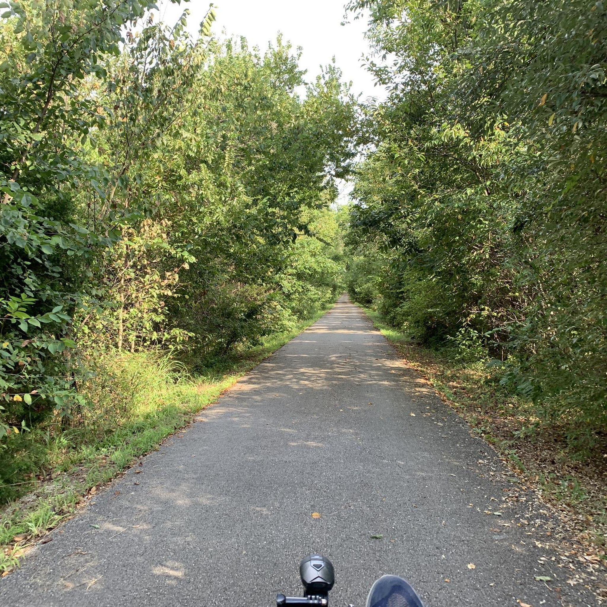
The South Creek Greenway, a designated National Recreation Trail by the National Park Service, is a fantastic paved pathway that winds its way through the heart of Springfield. It offers several access points, providing ample opportunities for both long and short rides along this scenic paved path.
0
0

The James River Bridge is an old iron bridge crossing the James River. It serves as the southernmost end of the Galloway Creek Greenway, and there's even a small pull-off area where you can park on the south side of the river.
0
0
Sequiota Park is beautiful, spanning 28 acres and offering a variety of activities for visitors to enjoy. There are several picnic areas and plenty of open space. Its unique feature is a protected cave on the grounds that is home to an endangered migrating colony of gray bats. The park surrounds a lovely pond with plenty of ducks, geese, and swans, making it the perfect place to stop for a picnic and enjoy its beautiful surroundings.
0
0
The Galloway Creek Greenway is a fantastic urban paved pathway that provides a leisurely ride along the beautiful trees in the James River Corridor. It passes by a lovely park and has easy access to several restaurants and shops all the way to Lake Springfield. The path connects to the James River Greenway and the James River Water Trail, where you can extend your ride and enjoy the picturesque scenery of the Ozarks in the heart of the city.
0
0
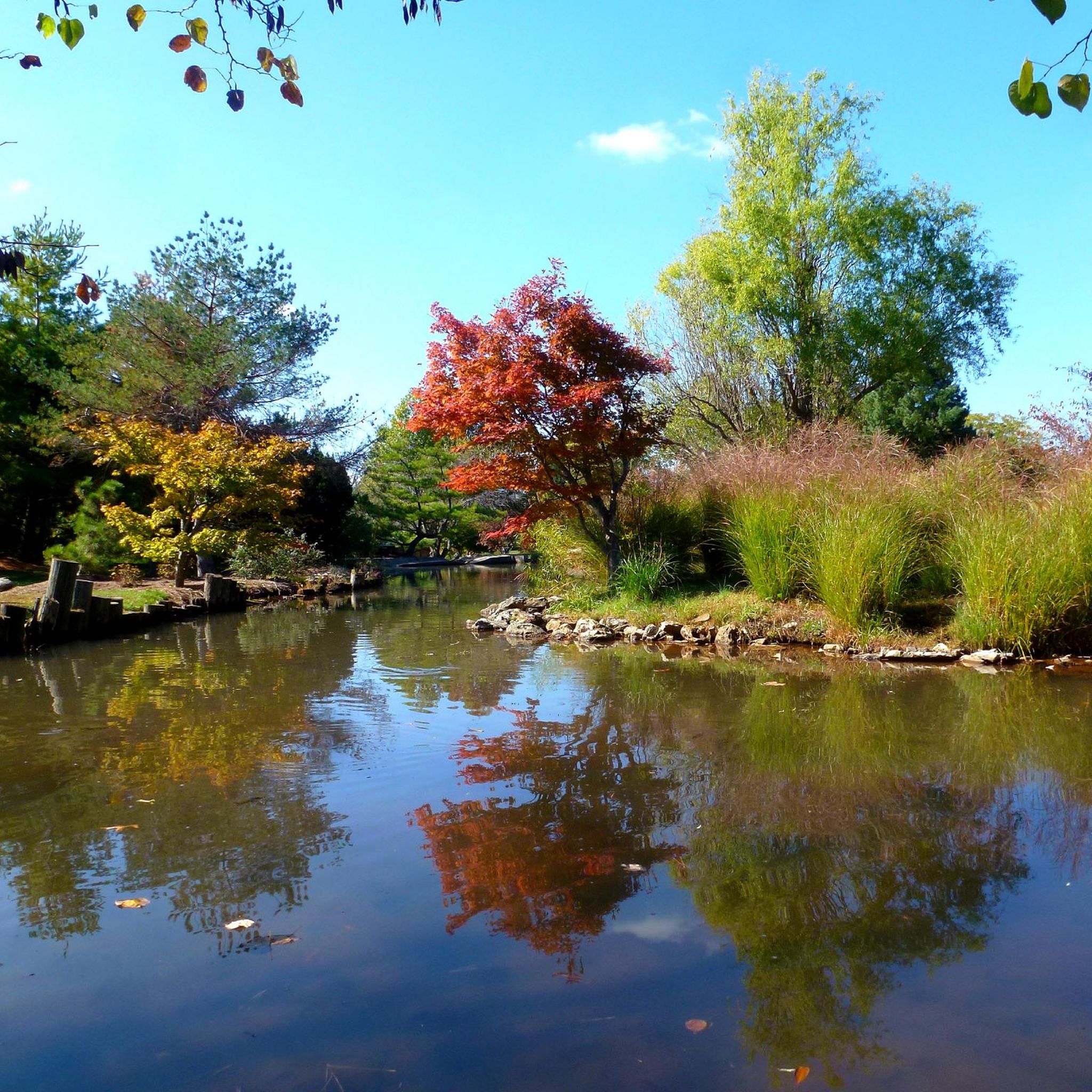
Nathanael Greene Park shares the property with the Springfield Botanical Gardens. There are walking paths around the gardens, ponds, and gazebos, and the paths even connect to the South Creek Greenway that passes by Lake Drummund.
0
0
The James River Bridge is an old iron bridge crossing the James River. It serves as the southernmost end of the Galloway Creek Greenway, and there's even a small pull-off area where you can park on the south side of the river.
2
0
Frequently Asked Questions
How many road cycling routes are available in Springfield?
Springfield offers a diverse network of road cycling routes. You can find over 35 routes, catering to various skill levels, from easy rides to more challenging excursions through the Ozarks.
What kind of terrain can I expect on road cycling routes in Springfield?
Road cycling in Springfield, Missouri, is characterized by the rolling terrain of the Ozarks woodlands and an extensive network of greenway trails. You'll encounter varied elevations, including areas around the James River and local parks, offering a mix of urban green spaces and natural scenery.
Are there road cycling routes suitable for beginners or families in Springfield?
Yes, Springfield has many easy road cycling options perfect for beginners or families. For example, the James River Bridge – Waterfall in Sequiota Park loop from Pershing Elementary-Middle School is an easy 10.6-mile path that provides a scenic ride through areas featuring the James River and Sequiota Park.
Are there more challenging road cycling routes in Springfield?
For those seeking a greater challenge, Springfield offers several moderate routes and at least one difficult route. A popular moderate option is the Waterfall in Sequiota Park – James River Bridge loop from Battlefield Mall, a 38.1-mile trail with notable landmarks and varied elevation.
What natural features or landmarks can I see along road cycling routes in Springfield?
Many routes in Springfield pass by significant natural features and landmarks. You can explore areas like Sequiota Park Pond and Waterfall, the scenic South Creek Greenway, and the expansive Nathanael Greene Park. The Ozarks woodlands also provide a naturally scenic backdrop for many rides.
Are there any routes that pass by waterfalls or scenic viewpoints?
Yes, several routes offer views of waterfalls and scenic spots. The James River Bridge – Waterfall in Sequiota Park loop specifically highlights the waterfall in Sequiota Park. You can also find viewpoints around Fellows Lake and other natural areas.
Are there any circular road cycling routes in Springfield?
Many of Springfield's road cycling routes are designed as loops, allowing you to start and end at the same point. Examples include the Nathanael Greene Park – Phelps Grove Park loop and the Old Iron Bridge – James River Bridge loop, which offer convenient circular journeys.
What do other road cyclists enjoy most about the routes in Springfield?
The road cycling routes in Springfield are highly rated by the komoot community, with an average score of 4.4 stars from over 8 reviews. Cyclists often praise the varied terrain, the extensive greenway network, and the beautiful Ozarks scenery that defines the region's rides.
What is the best time of year for road cycling in Springfield?
Spring and fall generally offer the most pleasant conditions for road cycling in Springfield, with mild temperatures and vibrant natural scenery. Summer can be warm, but early mornings or evenings are often suitable. Winter cycling is possible, but conditions can vary, so checking local weather is advisable.
Where can I find parking for road cycling routes near Springfield?
Many of Springfield's parks and trailheads, such as those near Nathanael Greene Park, Phelps Grove Park, or the starting points of various greenway trails, typically offer designated parking areas for cyclists. It's always a good idea to check the specific route details for recommended parking locations.
Are there any long-distance road cycling routes in Springfield?
For longer rides, the region offers routes that can be combined or extended. The Waterfall in Sequiota Park – James River Bridge loop, at over 38 miles, provides a substantial ride. Additionally, the Ozark Greenways Trails Network includes 140 miles of trails, some of which are suitable for longer road cycling excursions.
Can I cycle through historical areas in Springfield?
Yes, you can. The paved tour road at Wilson's Creek National Battlefield offers a hilly cycling experience combined with historical significance. This area provides a unique opportunity to combine your ride with a visit to a notable historical site.
Most popular attractions around Springfield

Get inspired with the komoot mobile app


Explore more
Browse the best Road cycling routes in other regions.
