The 20 Most Amazing Peaks in Nature Park Region Reutte
Best mountain peaks in Nature Park Region Reutte are found nestled between the Lechtal and Allgäu Alps in Tyrol, Austria. This region offers a diverse array of mountain peaks, catering to various interests from hiking to climbing. Visitors can find everything from easily accessible panoramic viewpoints to challenging summits. The landscape provides extensive opportunities for active exploration within a natural setting.
Best mountain peaks in Nature Park Region Reutte
- The most popular mountain peaks is Tauern Summit Viewpoint, a…
Last updated: July 6, 2026
Salober Alm
Highlight • Mountain Hut
Translated by Google •
Tip by

Summit of Vilser Kegel
Highlight • Summit
Translated by Google •
Tip by

Sign up now to discover places like this
Get recommendations on the best single tracks, peaks, & plenty of other exciting outdoor places.
Sign up for free
Roßberg Summit
Highlight • Summit
Follow the path along the ridge from the Brentenjoch until you come to an approx. …
Translated by Google •
Tip by

Schlosskopf Fortress
Highlight • Castle
Showing Translation
Tip by

Tauern Summit Viewpoint
Highlight • Viewpoint
Translated by Google •
Tip by

Sign up for free to discover even more peaks in Nature Park Region Reutte.
Sign up for free
Already have an account?
Start today with a free account
Your next adventure awaits.
Login or Signup
Popular around Nature Park Region Reutte
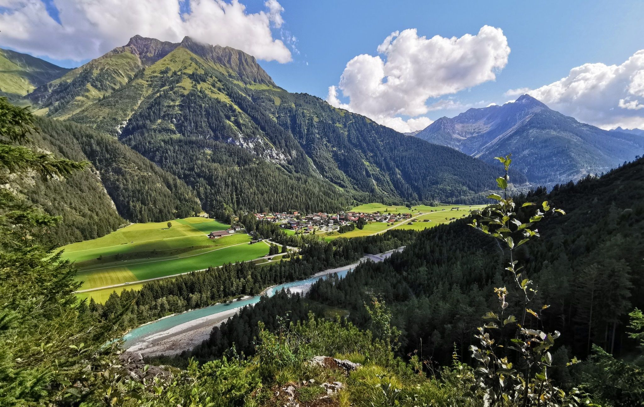
The Lechweg — eight days on Austria's wildest river
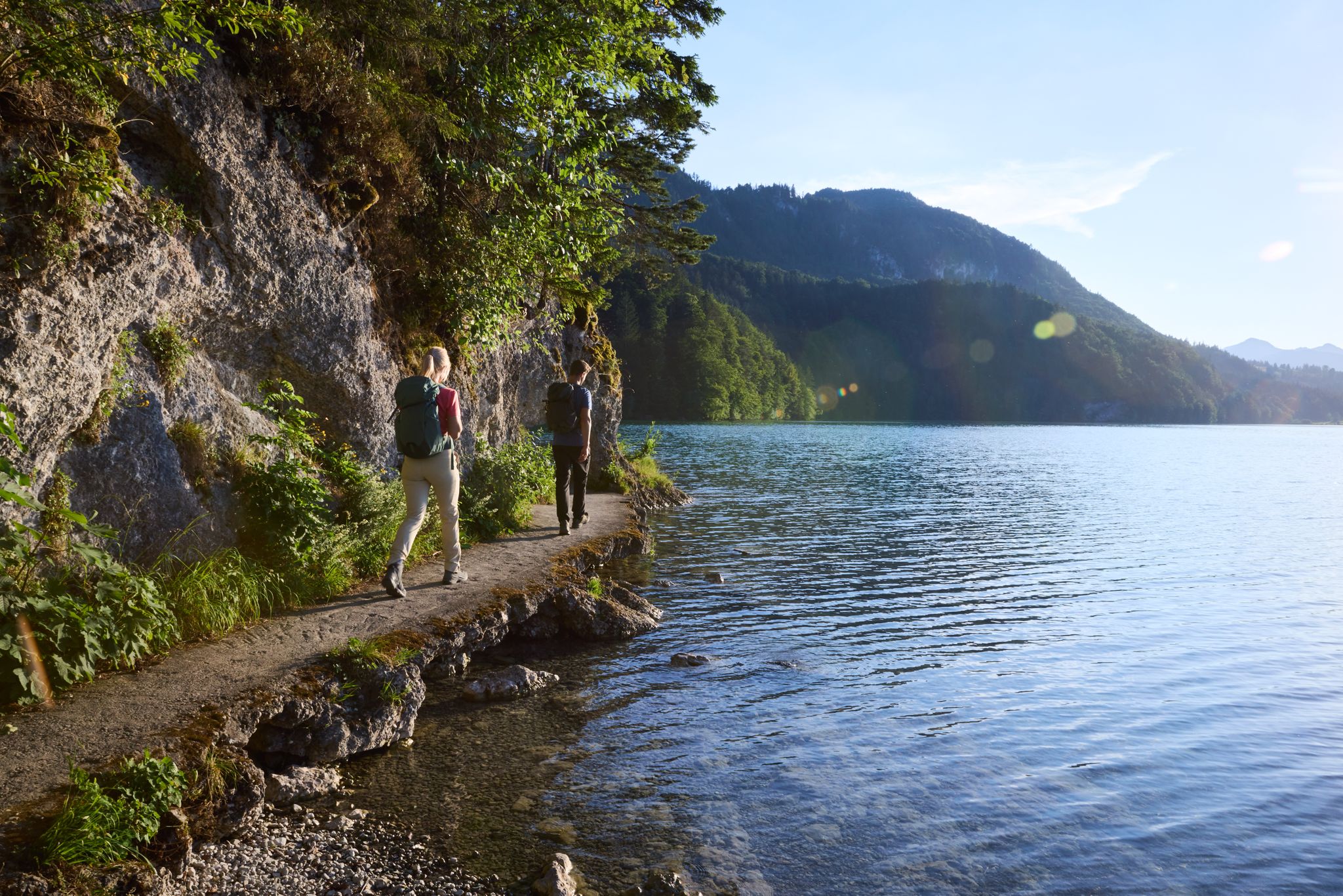
Lechloops – wonderful hiking along the wild Lech
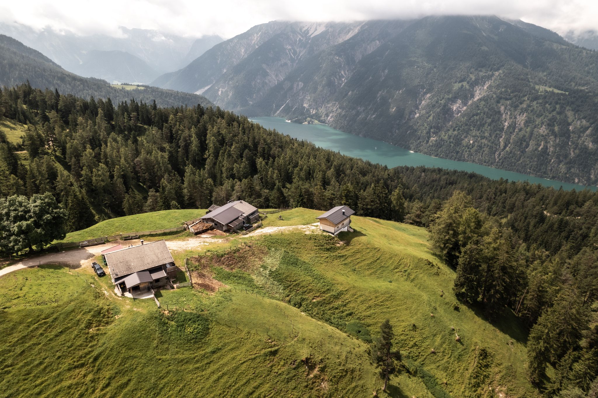
Lakes'n'Knödel – Bikepacking adventure with a taste of the Alps
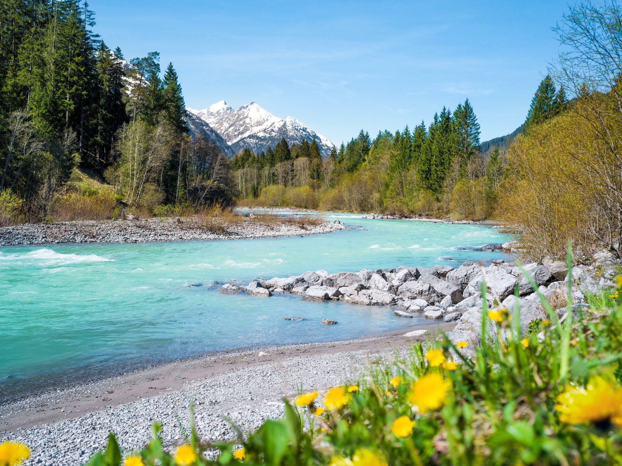
Multi-day hiking against the flow – the Lechweg in reverse
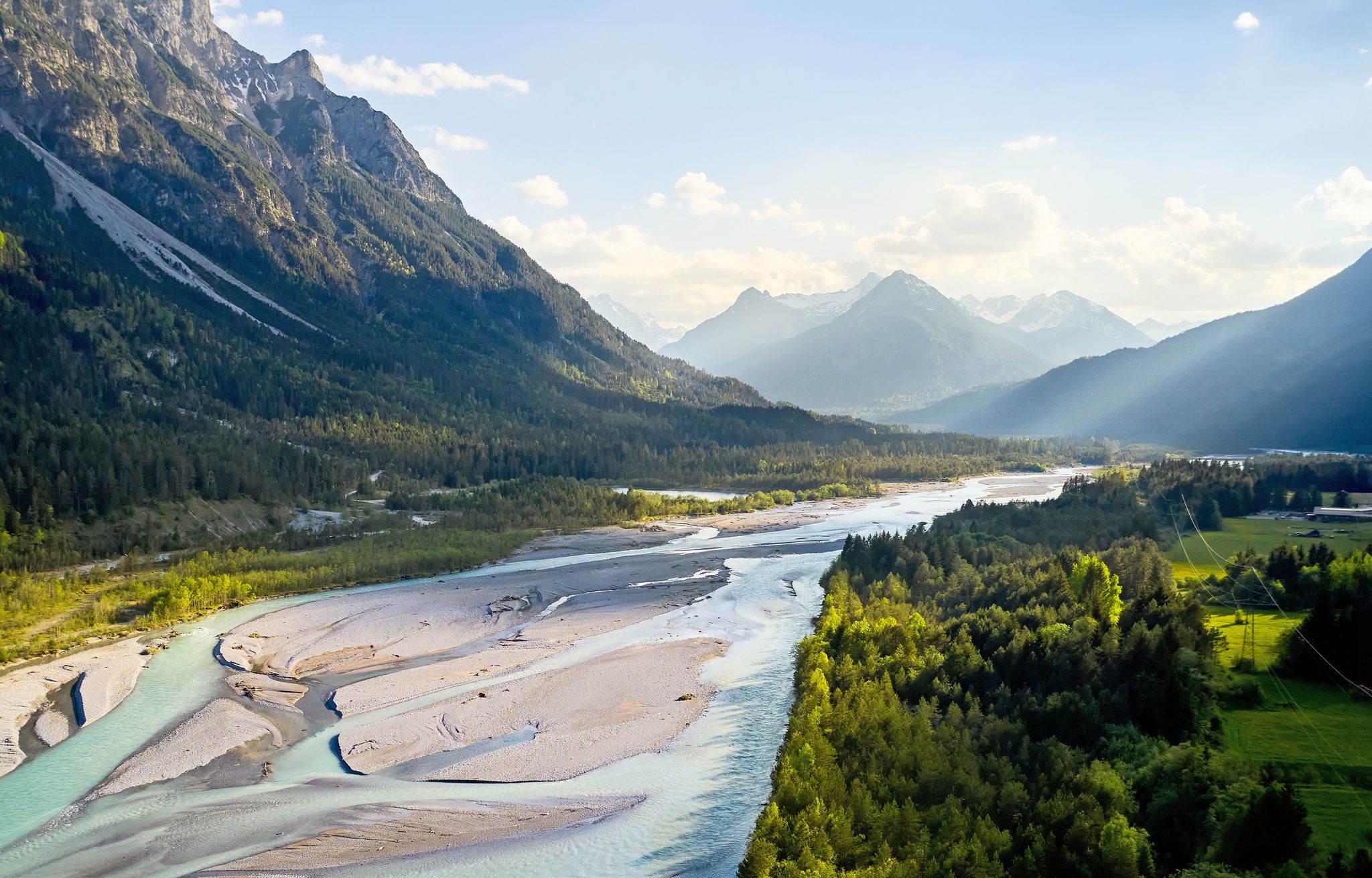
Lechweg – follow the wild river through the mountains
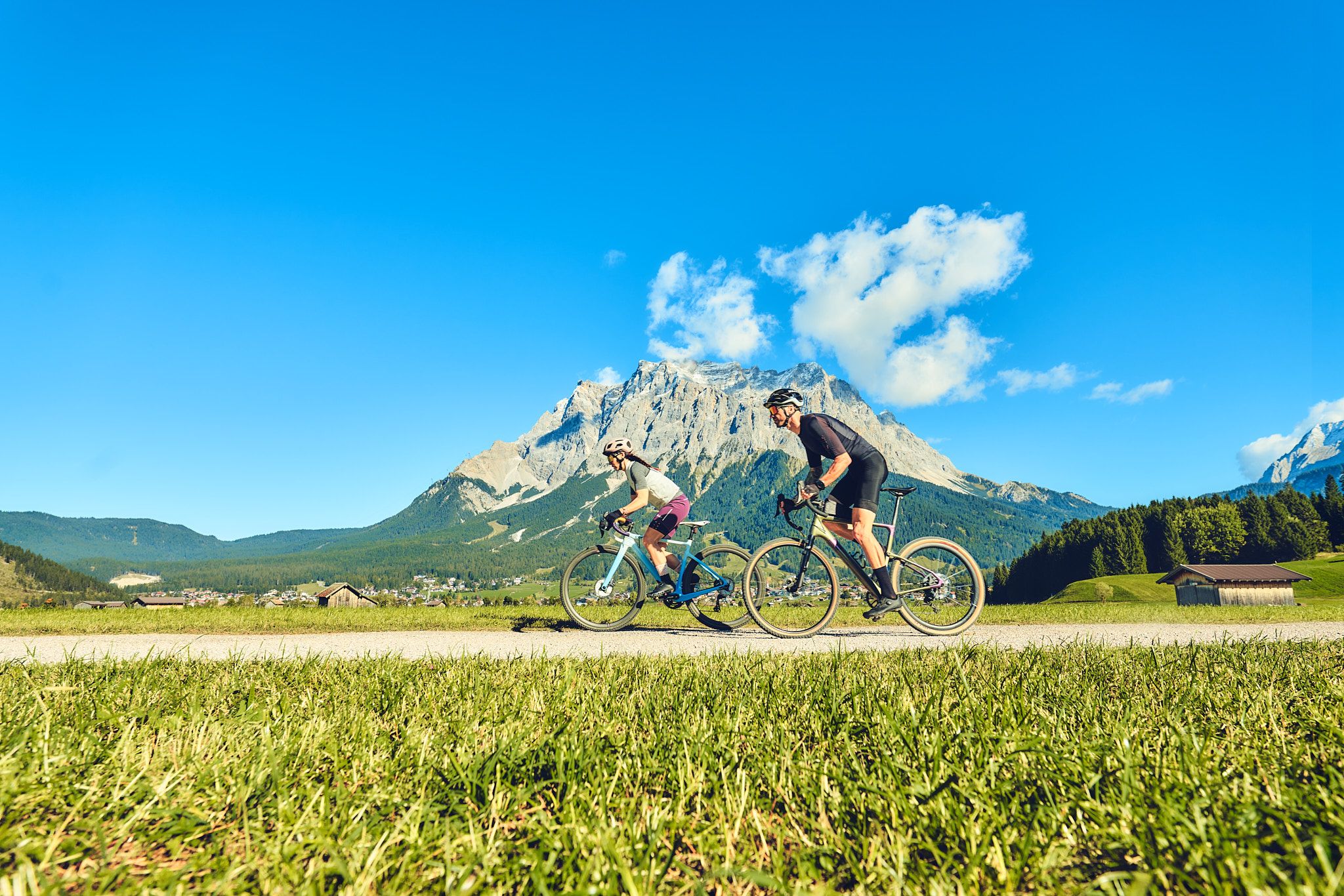
Experience the Außerfern in Tyrol's largest gravel bike region
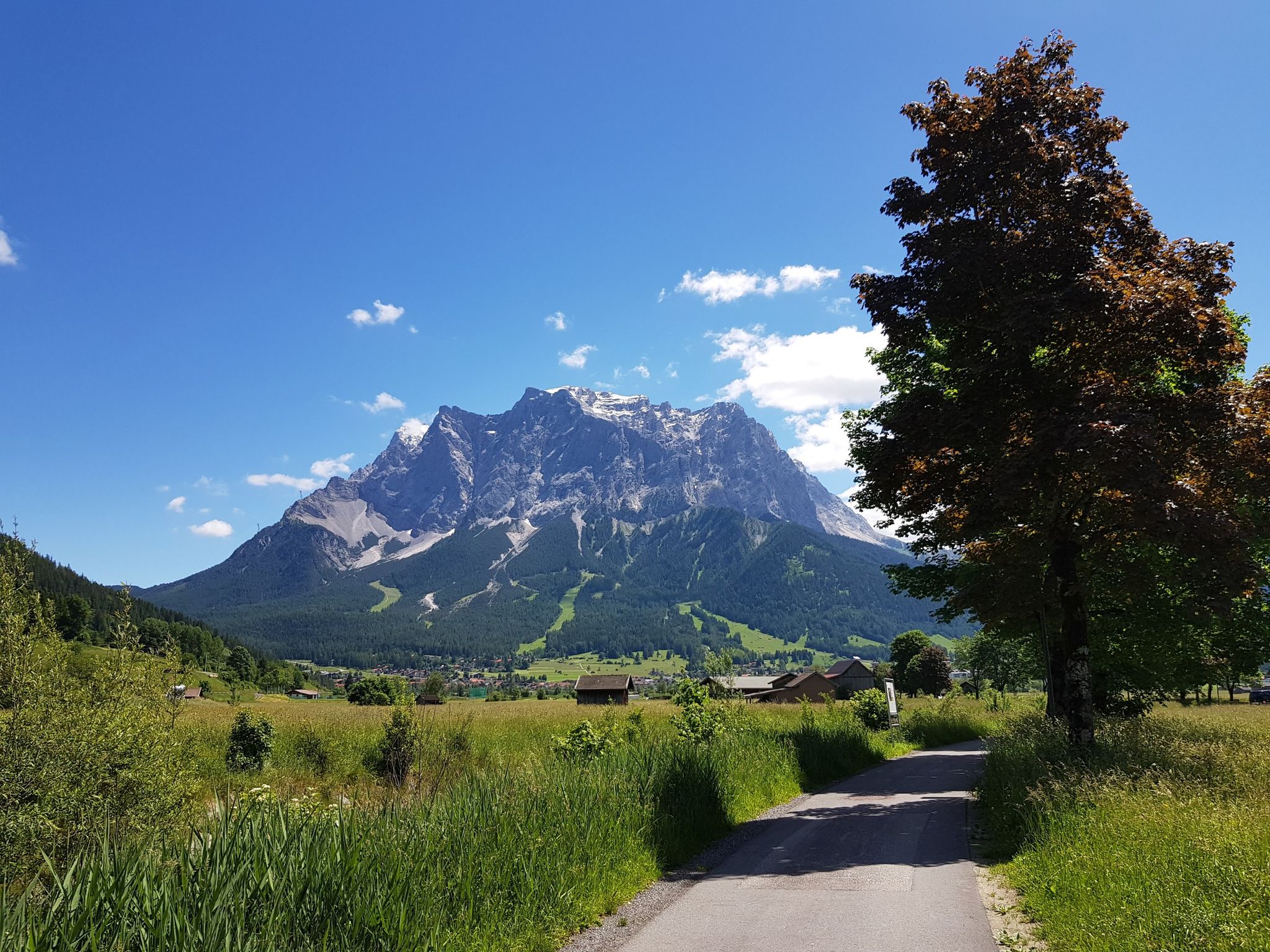
Bikepacking around Germany’s immense Zugspitze
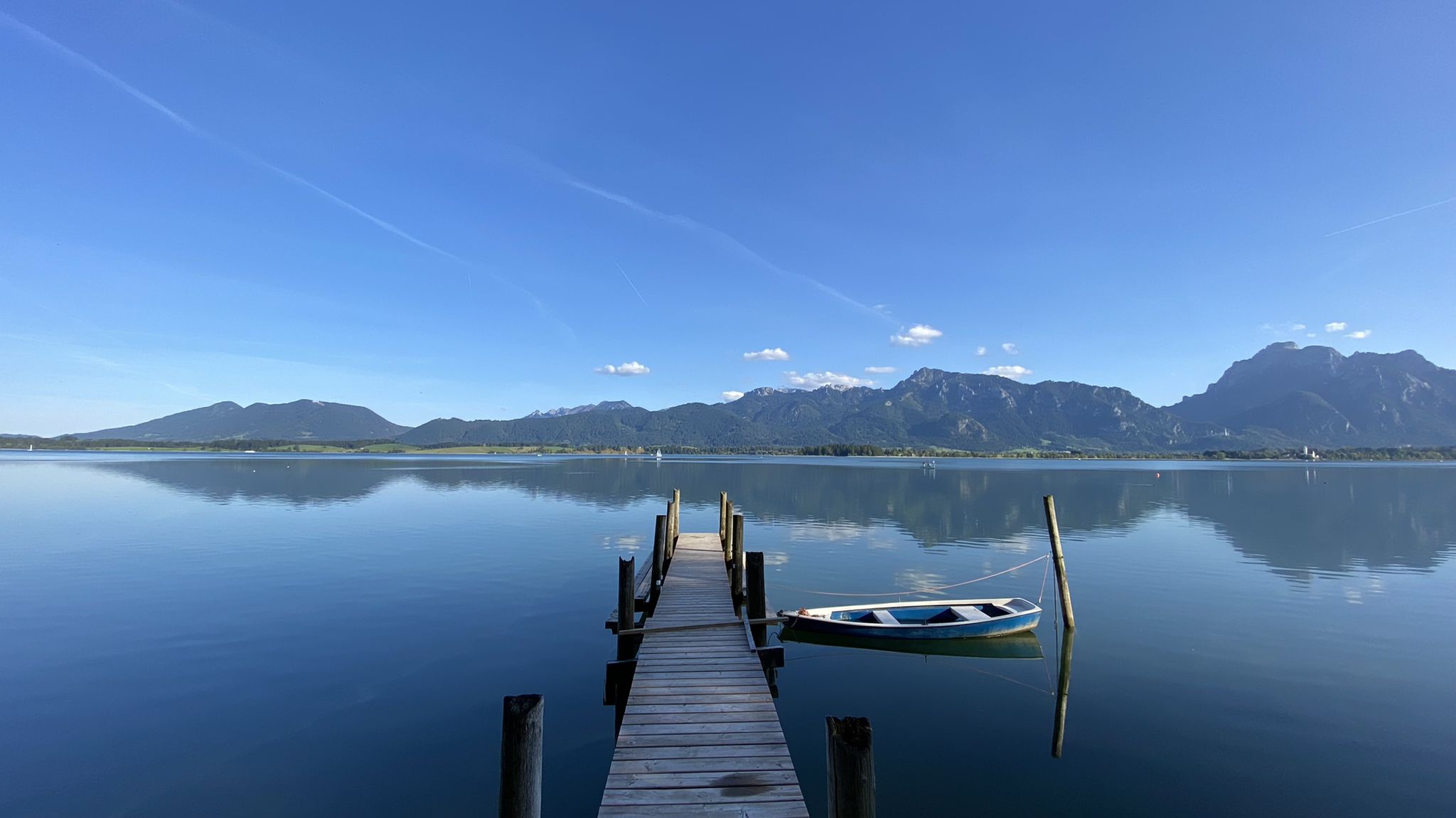
Cycle along Europe’s last wild river – Lech Cycle Route
Lofty heights – the best bike Tours in Austria’s Tyrolean Zugspitz Arena
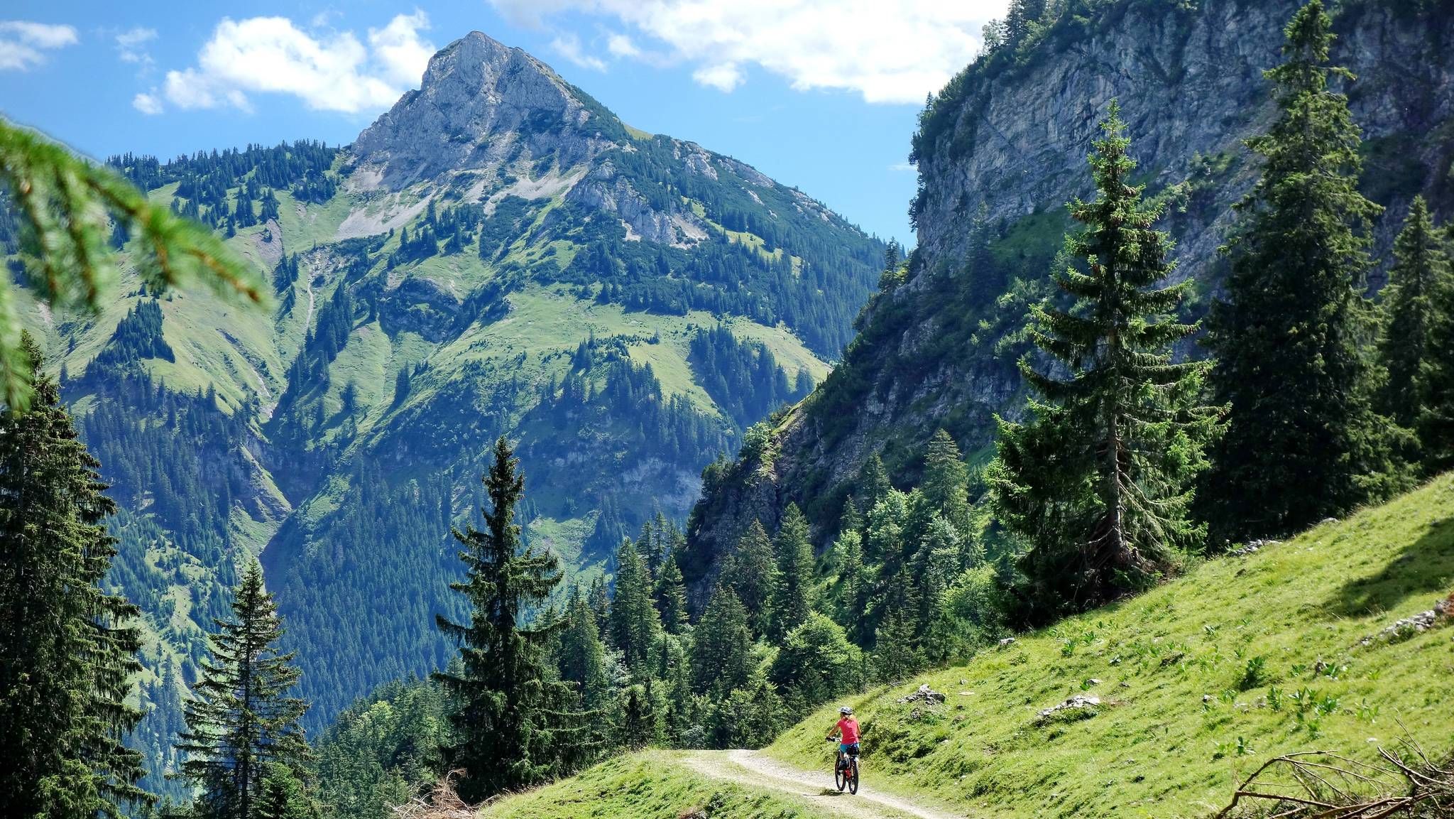
MTB fun around Austria’s Tannheim Valley
Other adventures in Nature Park Region Reutte


Tips from the Community

At 1,250 meters, this large fortress complex awaits you with a view over the Reutte basin and the course of the Lech river. You can reach the Schlosskopf on foot or comfortably with the Top Liner. At the top, a panoramic path leads through the complex and to several viewpoints with a 360° view of the surrounding mountains.
0
0

The Vilser Kegel offers beautiful views of the Vils Valley, towards the Zugspitze, and the southern massif with the Grosse Schlicke. At the same time, it's beautifully quiet, as it's less touristy. The route up here is classified as T5 in Komoot. I can't agree with that; I'd say it's closer to T3 to T4. If you're unsure whether you can manage it: After about 100 meters of ascent from the Hundsarschjoch, you reach a small "staircase" made of iron in the rock. If you can walk up and down (!) it without feeling awkward, you'll manage the rest. I personally found the way up a bit more challenging than the way down, as the zigzags make it difficult to see what's next. Going down, in my opinion, isn't problematic. However, you definitely need to be sure-footed and have a head for heights. This assessment only applies in dry conditions. If the paths are wet, I would strongly advise against climbing.
4
0


It's a shame that the path through the second ditch in the OSM was removed, as it had been marked for ages. Yes, people just follow the route in Komoot and don't know the difficulties. That's how I planned my tours a few years ago, naively simply had a route drawn in Komoot and then followed. Luckily I came across hikr.org and knew what I was getting myself into. It's only a matter of time before the excess is recorded in the OSM...
2
0

Maybe some people might be wondering what other path is being talked about here. This is the Roßbergrinne or the 2nd ditch. It has since been removed from openMaps, but was incorrectly listed there as T4, which ultimately led to some rescue missions. Anyone who has mastered 2nd degree climbing can find information about this alternative climb online.
1
1

Sometimes it's not easy to find, but the path runs beautifully over the ridge between Tauern and Zuntenkopf. You have to fight your way through the mountains a bit, but it's not as bad as it is on some other mountains.
2
0
Great panoramic peak at Plansee. Views of Zugspitze, Plansee, Säuling and much more are available from here
2
0
Super nice view mountain. The view of Plansee, Heiterwangersee, Zugspitze, Säuling, to name just the most striking ones, is very beautiful. You can also have a beautiful view of Reutte and the Lechtal. The climb is not that easy. The hands are sometimes used, but it is never exposed. All in all, it's doable if you have some experience.
3
0
Frequently Asked Questions
Which mountain peaks in Nature Park Region Reutte are suitable for families and beginners?
For families and beginners, Hahnenkamm is an excellent choice. An 8-person gondola from Höfen provides easy access to the top station at 1,742 meters, offering magnificent panoramic views. The area features a barefoot hiking trail, family-friendly paths, and alpine hut excursions to places like Höfener Alm and Schneetal Alm. Another accessible option is Salober Alm, a hut located right on the border with Austria, offering delicious food and a great outdoor area, making it a perfect stop during a hike.
What are some of the most popular viewpoints in the Nature Park Region Reutte?
The region boasts several popular viewpoints. The Hahnenkamm offers extensive panoramic views over the Reutte valley basin and the surrounding Alps, including the Zugspitze. Tauern Summit Viewpoint provides amazing views of Plansee, Heiterwangersee, Zugspitze, and the Lechtal. Another must-see is Zunterkopf Summit (1,811 m), where on clear days, you can see the Zugspitze and the 'Highline' suspension bridge.
Are there challenging mountain peaks for experienced mountaineers in the Nature Park Region Reutte?
Yes, the region offers several demanding peaks for experienced mountaineers. The Hochvogel, known for its distinctive 'crack,' provides a challenging tour with a 360-degree panorama. Other formidable challenges include Gehrenspitze, Köllenspitze (the highest peak in the Tannheim Mountains), Gimpel, and Rote Flüh, all requiring good fitness, sure-footedness, and alpine experience. The Roßberg Summit is also extremely demanding, involving navigating a ridge with a vertical rock break.
What kind of natural features can I expect to see on the mountain peaks?
The mountain peaks in Nature Park Region Reutte offer diverse natural features. You'll encounter stunning panoramic views of the Lechtal and Allgäu Alps, crystal-clear lakes like Plansee and Heiterwangersee, and the wild Lech river. Unique geological features such as the expanding 'crack' on the Hochvogel add to the natural interest. Many peaks are surrounded by dense forests, secluded huts, and rocky passages, providing a rich alpine environment.
What are some insider tips for scenic hikes away from the crowds?
For a more tranquil and scenic experience, consider the Schelleleskopf. It's described as an insider tip, nestled between dense forests, secluded huts, and rocky passages, offering a panorama that stretches from the Thaneller to the Ammergau Alps and beautiful views of the Plansee. While some routes can be difficult, it provides a rewarding experience away from the busiest trails.
What outdoor activities are available near the mountain peaks in Nature Park Region Reutte?
Beyond hiking and mountaineering, the region offers a variety of outdoor activities. You can explore numerous cycling routes, ranging from moderate to difficult, such as those found in the Cycling in Nature Park Region Reutte guide. There are also dedicated waterfall hikes and more extensive mountain hikes that delve deeper into the alpine terrain.
What is the best time to visit the mountain peaks in Nature Park Region Reutte?
The best time to visit largely depends on your activity. For general hiking and enjoying panoramic views, late spring to early autumn (May to October) typically offers the most favorable weather conditions. For experienced mountaineers tackling higher, more challenging peaks, late summer (July and August) often provides the most stable conditions, though early summer may still require crampons on some routes. Winter offers opportunities for snowshoeing and ski touring, but requires specific gear and expertise.
Are there any peaks that offer a unique geological experience?
Yes, the Hochvogel is particularly known for its distinctive 'crack,' a geological feature that continues to expand. This makes it an interesting site for those with a geological interest, in addition to offering a challenging mountain tour and impressive 360-degree views.
What can I expect from the Vils Cone in the Vilsalpseeberge?
The Vils Cone, part of the Vilsalpseeberge subgroup of the Allgäu Alps, offers impressive views of the lake landscape around Füssen and a sweeping Alpine panorama. While routes can be demanding, requiring very good fitness and alpine experience, they provide an attractive and rewarding experience for those prepared to undertake the challenging ascents.
What do visitors enjoy most about the mountain peaks in Nature Park Region Reutte?
Visitors consistently praise the amazing and gigantic views from the summits, such as those from Tauern Summit Viewpoint and Zunterkopf Summit (1,811 m). The sense of accomplishment after a challenging climb, the tranquility of less-traveled paths, and the opportunity to connect with nature are also highly valued. The presence of welcoming alpine huts like Salober Alm, offering delicious food and refreshing drinks, also contributes to a positive experience.
Are there any peaks that are less crowded but still offer great views?
The Geierköpfe Main Summit is noted for offering some of the best views while being less crowded than its West Summit, making it ideal for those who prefer a more solitary experience. The Schelleleskopf is also considered an insider tip for its tranquil and scenic experience away from the main tourist flows.
Most popular routes in Nature Park Region Reutte
Most popular attractions in Nature Park Region Reutte

Get inspired with the komoot mobile app


Explore more
See even more amazing summits in Nature Park Region Reutte with these guides:
