The 20 Most Amazing Peaks in Landkreis Aschaffenburg
Best mountain peaks in Landkreis Aschaffenburg are found within the Spessart hills, offering a variety of elevated areas for outdoor activities. The region provides picturesque landscapes, historical sites, and recreational opportunities. While not featuring alpine giants, these peaks are attractive for hiking and experiencing nature. Visitors can explore diverse terrain, from prominent ridges to wooded hills, all within the natural beauty of the Spessart.
Best mountain peaks in Landkreis Aschaffenburg
- The most popular mountain peaks is Ludwig Tower (Hahnenkamm), a viewpoint that offers panoramic views. The tower is generally open, and a nearby mountain inn can provide the key if it is closed.
- Another must-see spot is Ludwig-Keller Observation Tower on Geishöhe, a viewpoint. The wide plateau features a meadow-pasture landscape, and the surrounding mountain ranges are clearly visible from the tower.
- Visitors also love Stengerts Observation Tower, a man-made monument. This tower offers views from the forest and is surrounded by trails suitable for various activities, including mountain biking.
- Landkreis Aschaffenburg is known for its highest peaks, prominent ridges, and wooded hills. The region offers diverse reasons to visit, from challenging hikes and mountain biking trails to historical insights and family-friendly nature experiences.
- The mountain peaks in Landkreis Aschaffenburg are appreciated by the komoot community, with more than 2400 upvotes and over 1600 photos shared.
Last updated: October 11, 2026
Ludwig Tower (Hahnenkamm)
Highlight • Viewpoint
Translated by Google •
Tip by

Ludwig-Keller Observation Tower on Geishöhe
Highlight • Viewpoint
Translated by Google •
Tip by

Sign up now to discover places like this
Get recommendations on the best single tracks, peaks, & plenty of other exciting outdoor places.
Inn at Geißhöhe
Highlight • Restaurant
opening hours
March to October:
Monday: closed
Tuesday to Friday: 11.30am to 7pm
Saturday: 11.30 to 20 o'clock
Sunday and holidays: 11.30am to 19pm
November to February:
Open only on Fridays, Saturdays and Sundays
More information: geisshoehe.de
Translated by Google •
Tip by

Stengerts Observation Tower
Highlight • Monument
Translated by Google •
Tip by

Franzosenkopf (481 m)
Highlight • Summit
Translated by Google •
Tip by

Geiersberg Summit
Highlight • Summit
Translated by Google •
Tip by
Steinknückl Summit
Highlight • Summit
Translated by Google •
Tip by

Ringwork on the Reuschberg
Highlight • Historical Site
Translated by Google •
Tip by

Erkelshöhe – Highest Point of Wiesen
Highlight • Summit
The Erkelshöhe lies between the towns of Wiesen and Flörsbach. The state border runs across the summit between the municipality of Flörsbachtal (Hesse) and the unincorporated area of Wiesener Forst (Bavaria). In the southeast, the Erkelshöhe goes flat to the Sauberg (454 m). Both mountains belong to the Sailhöhe ridge stretching towards Wiesthal. West of the summit, about a kilometer away, is the village of Wiesen im Aubachtal; on the south-eastern slopes is the town of Mosborn on the upper reaches of the Laubersbach. North of the mountain are the Wiesbüttsee and the Wiesbüttmoor. The Franconian Marienweg leads over the Erkelshöhe.
Source: Wikipedia
Translated by Google •
Tip by

Breitsol Transmitter on Geiersberg
Highlight • Monument
The summit region is dominated by two transmission towers of the Breitsol transmitter located on the south-southwest hill in the hamlet of Breitsol in the municipality of Bischbrunn.
The higher of the two towers is designed as a hybrid tower and is 124 m high. Its substructure is a free-standing steel framework tower; its superstructure, also made of steel framework, is braced with steel cables. Until December 2008 it carried a 7 ton TV transmitter in a GRP cylinder. The lower tower is free.
Until the switch to DVB-T on November 25, 2008, ZDF and Bayerisches Fernsehen (Franconia) were broadcast from there in analogue PAL.
The program Das Erste (BR) came from the Pfaffenberg transmitter near Aschaffenburg, which also broadcasts radio programs. Since November 25, 2008, DVB-T has been available for the Spessart from Pfaffenberg. The Geiersberg site has been shut down with regard to radio broadcasts.
About 300 m north of the transmitter, about 20 m west of the service road that runs there, there are three old concrete foundations in the forest, which may have belonged to an earlier military transmission tower or mast.
Source: de.wikipedia.org/wiki/Geiersberg_(Spessart)#Sender_Breitsol
Translated by Google •
Tip by
Sign up for free to discover even more peaks in Landkreis Aschaffenburg.
Already have an account?
Start today with a free account
Your next adventure awaits.
Popular around Landkreis Aschaffenburg
Franconian Red Wine Trail — From vineyards to the Main River
Germany's Spessart Trail – Free as a bird
Relaxed hiking in the Spessart – short trails of discovery

#GoFurther – discover the views of Germany!
Pleasure, nature and culture – hiking around the Franconian towns
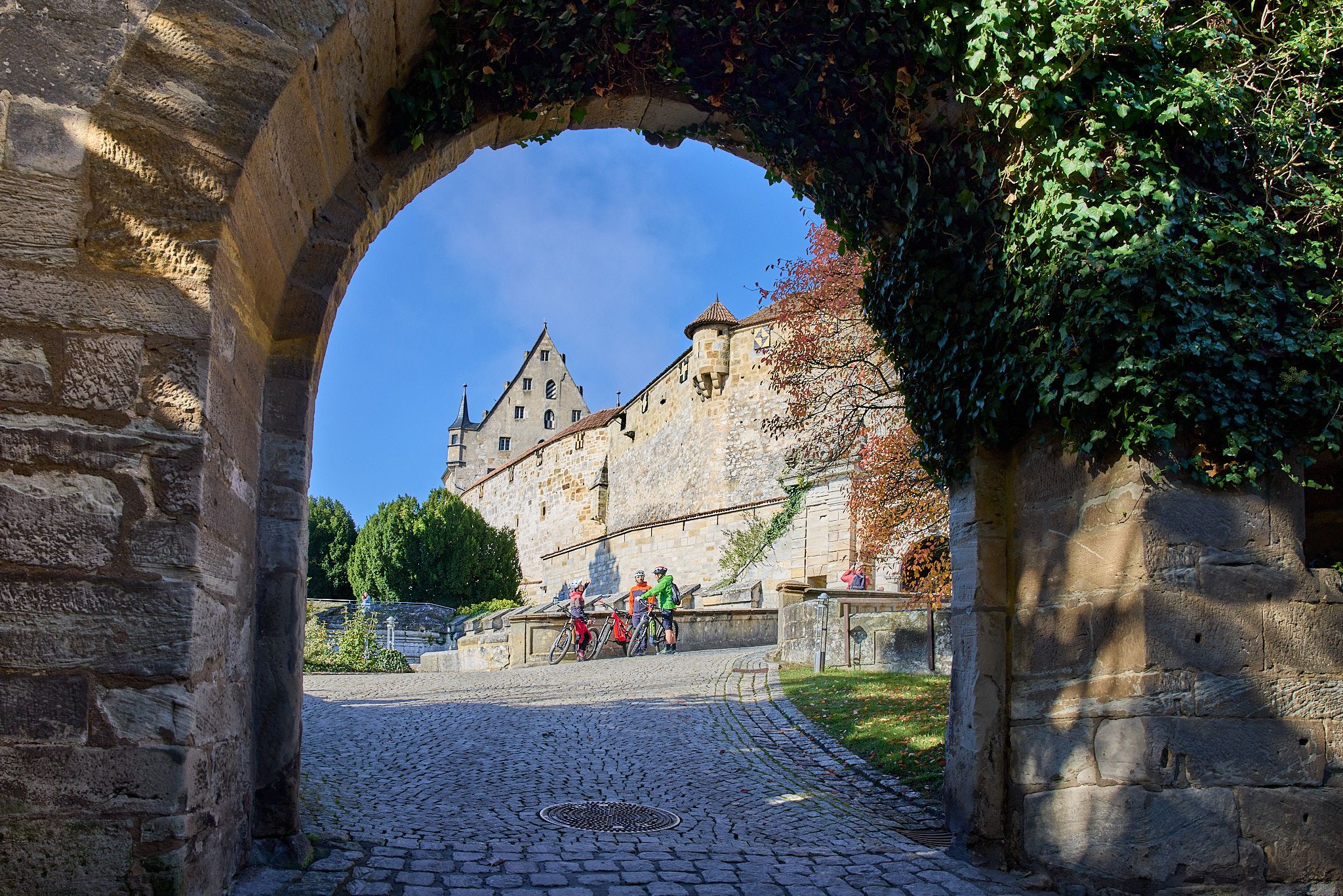
Fun, nature, and culture – cycling around the Franconian cities
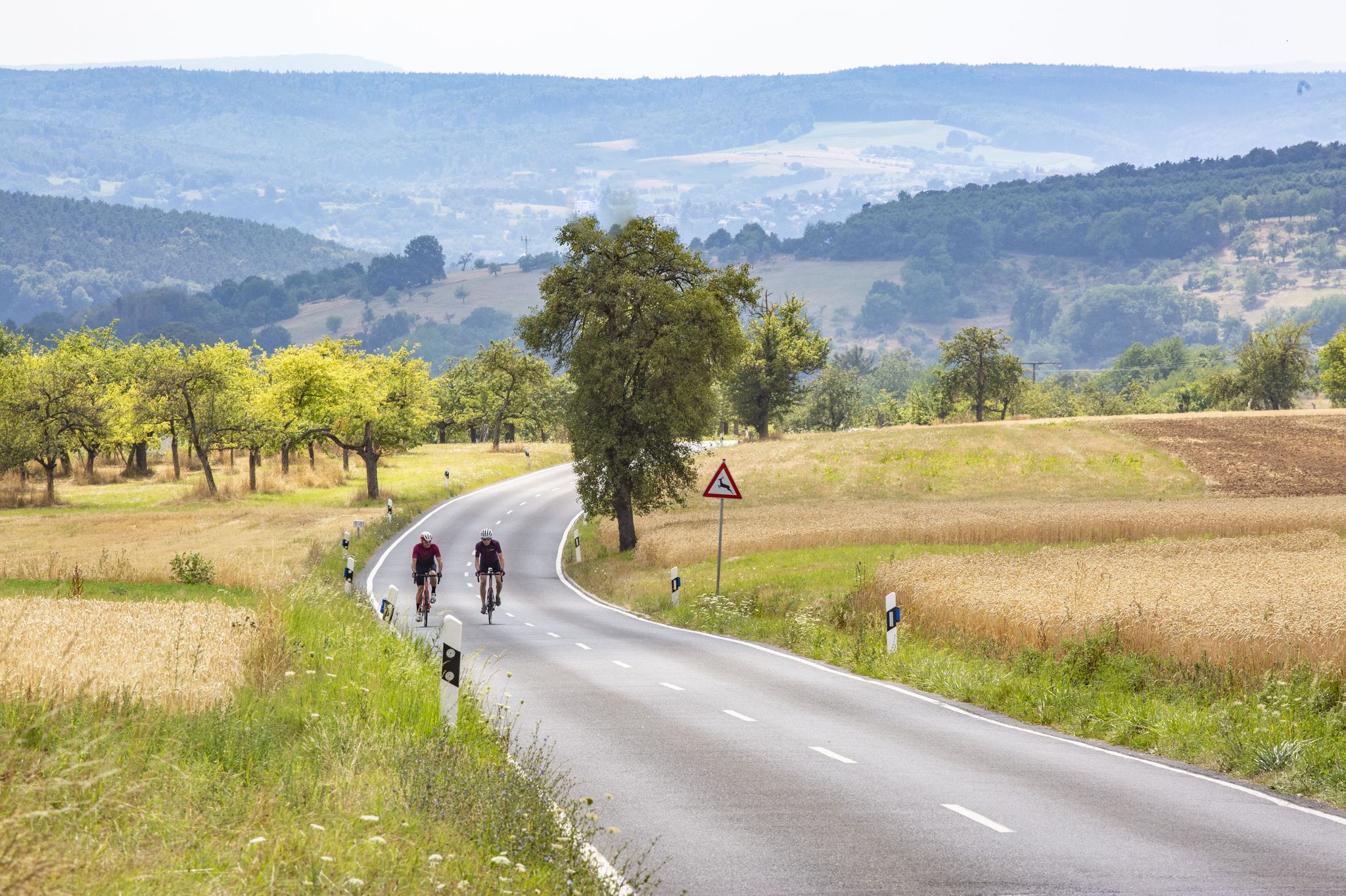
Ripping up bends in Germany’s Spessart
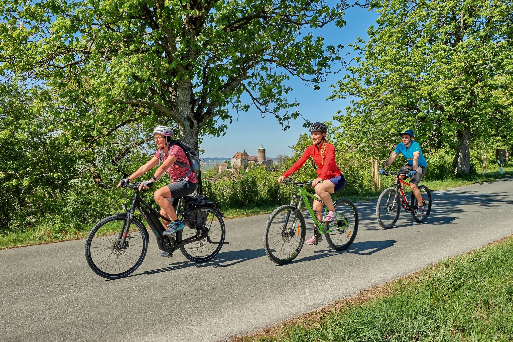
Magnificent cycling holidays — e-bike Tours through Franconia
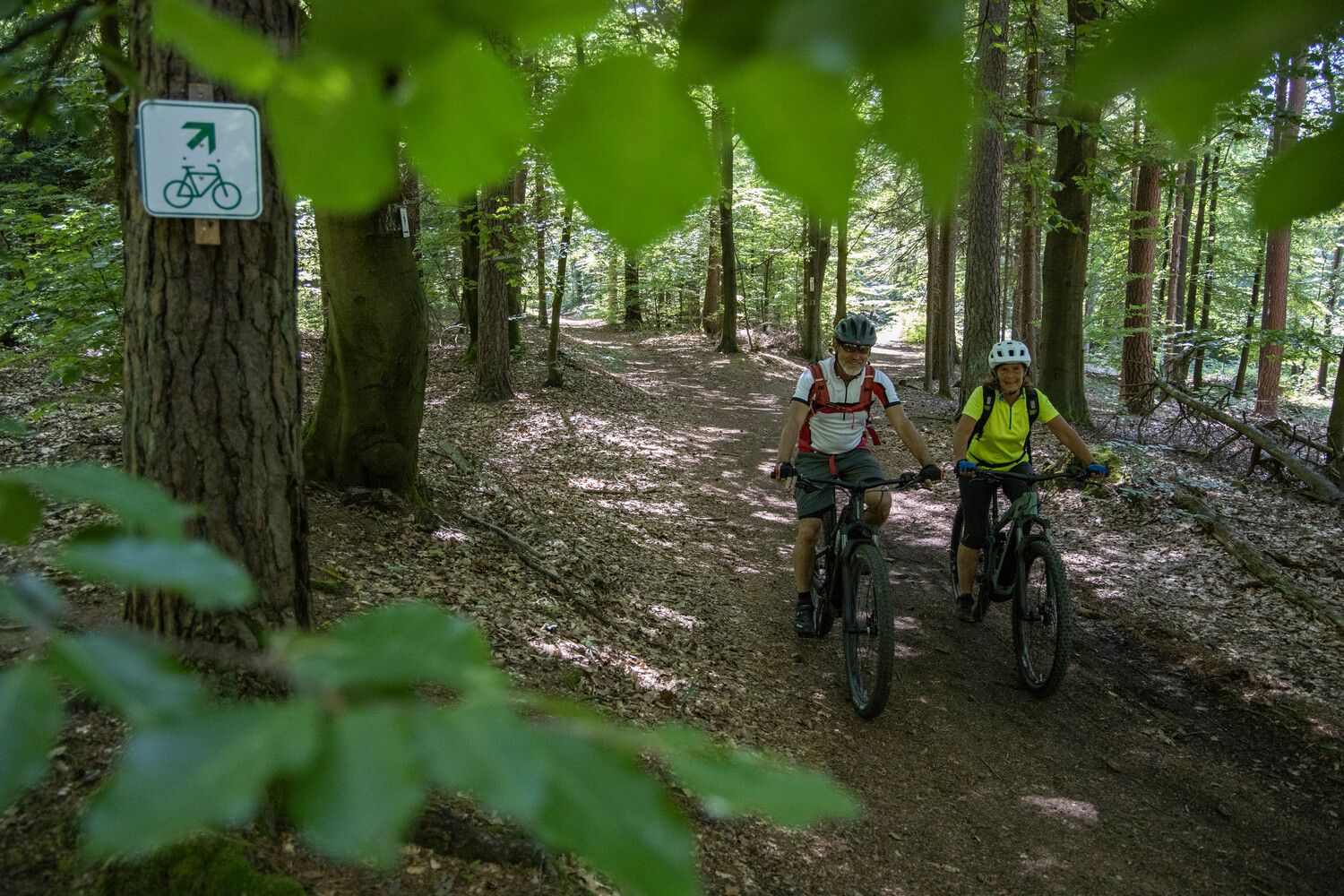
Bikewald Spessart Route A - The ultimate Hochspessart tour
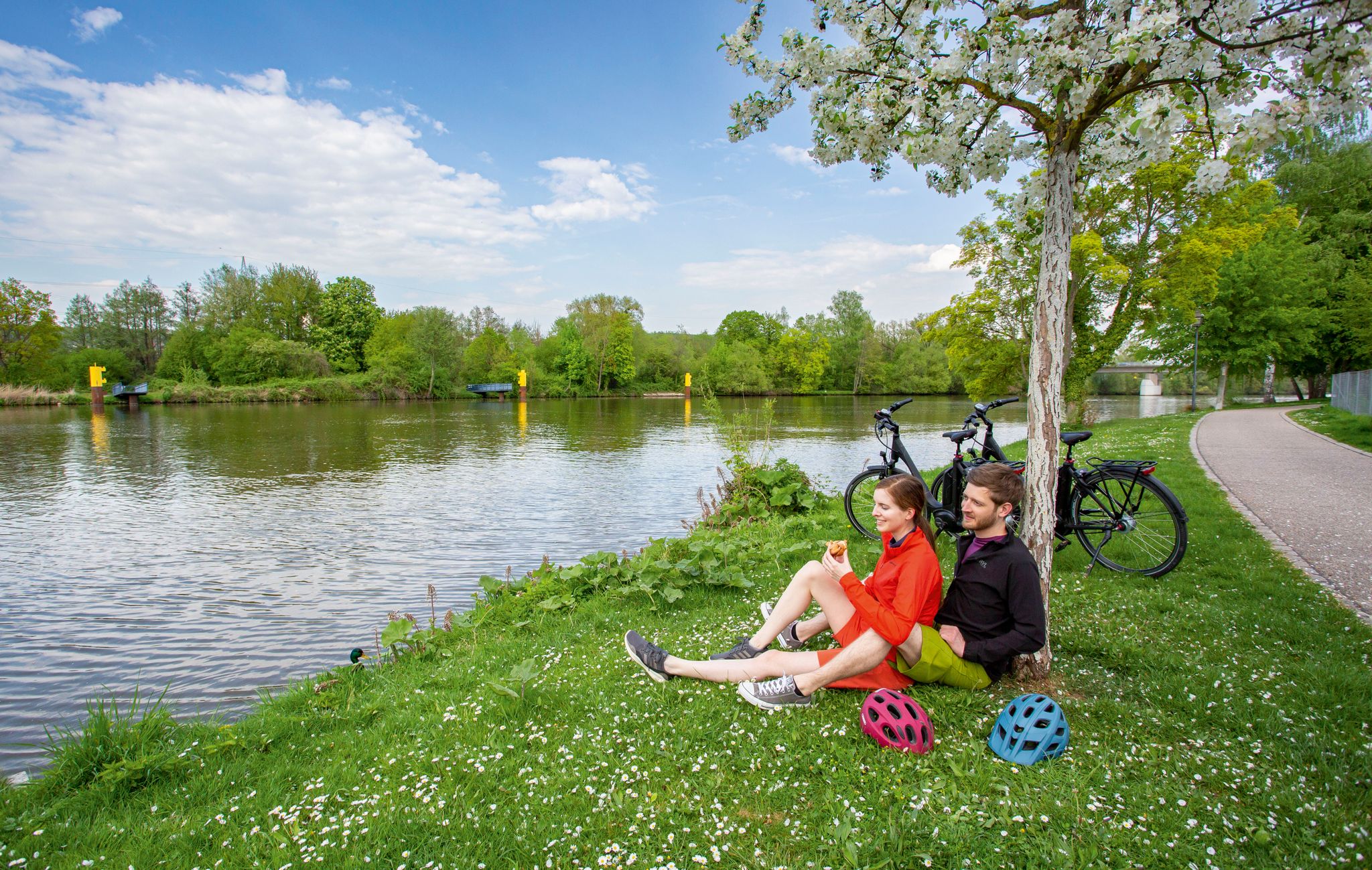
The Main Cycle Route - 12 days of river diversity
Other adventures in Landkreis Aschaffenburg


Tips from the Community

From Steiger, the climb is quite steep. If you want to sign the summit register, you have to climb up.
2
0

 Steinknückl Mountain in the Spessart in Bavaria The Steinknückl, also known as the Steinknückel, is a 417-metre-high hill in the Spessart.[1] The wooded mountain is located in the Bavarian district of Aschaffenburg, directly on hiking trail 31 of the Spessart Association. It is located in the Weilerwald forest, about 1.7 km south of Laufach and about 2 km north of Waldaschaff. The Steinknückl is known for its strikingly tall holm oaks on the summit, which give it its name. Since there is a summit book on the top of the mountain, it is a popular destination for hikers and mountain bikers.
1
0

On days like today, maybe think about making a reservation by phone… it is quite popular
9
0

The information board on the Reuschberg provides a lot of information.
4
0
A small sign, placed a little off to the side, still exists. As of today
12
0
And yet quite easy to reach, pure nature included.
14
0
Note winter opening times! Do you look at pictures?
15
0
Attention... If you look at pictures... pay attention to winter opening times 😉
14
0
Frequently Asked Questions
What is the highest mountain peak in Landkreis Aschaffenburg?
The highest peak in the Spessart, which spans parts of Landkreis Aschaffenburg, is Geiersberg Summit, also known as Breitsol, reaching 586 meters. While its summit features transmission towers, it offers the satisfaction of reaching the highest point in the region and is surrounded by beautiful hiking and MTB trails.
Where can I find the best panoramic views of the region?
For panoramic views, visit the Ludwig Tower (Hahnenkamm) on the Hahnenkamm ridge. Another excellent spot is the Ludwig-Keller Observation Tower on Geishöhe, where the wide plateau offers clear views of the surrounding mountain ranges. The Stengerts Observation Tower also provides great views from within the forest.
Are there family-friendly mountain walks in Landkreis Aschaffenburg?
Yes, several peaks offer family-friendly experiences. The Glasberg near Mömbris features the Glasberg Forest Adventure Trail, which includes 23 stations with information boards, tree age signs, and guessing games, guided by a squirrel mascot. The Geiersberg Summit is also considered family-friendly, as are the areas around the Ludwig Tower (Hahnenkamm) and Ludwig-Keller Observation Tower on Geishöhe.
What are some easy mountain hikes suitable for beginners?
For easy hikes, consider routes around the Glasberg with its adventure trail. The Geiersberg-Trail around Geiersberg Summit offers easily accessible paths suitable for various fitness levels. You can also find many easy hiking options in the region, such as the 'Erlenbach Herb Garden loop' or 'Mespelbrunn Castle – The Beaver loop', which are part of the Easy hikes in Landkreis Aschaffenburg guide.
Are there mountain biking trails around the peaks?
Absolutely. The Hahnenkamm is a popular spot for mountain bikers, featuring a network of official trails known as the 'Hahnenkamm Trails' that cater to various difficulty levels. The area around the Stengerts Observation Tower is also known for its great mountain biking slopes. The Geiersberg Summit is surrounded by beautiful MTB trails as well.
Are there any historical sites or cultural points of interest on the peaks?
Yes, the Ludwig Tower (Hahnenkamm) is a historical landmark. The Erkelshöhe, at 517 meters, is crossed by the Franconian Marienweg (Mary's Way), adding a cultural dimension. The Glasberg near Mömbris has historical context, possibly linked to a 13th-century hermitage. Additionally, the Ringwork on the Reuschberg is another historical site worth exploring.
What unique natural features can I discover on these peaks?
The Hahnenkamm features quartzite blocks designated as a valuable geotope by the Bavarian State Office for the Environment. Near the Hahnenkamm, the Hahnenkammsee (also known as Steinbruchsee or Hemsbachsee) is a scenic lake formed from a former quarry. The Steinknückl Summit is notable for its strikingly tall holm oaks. The region generally offers the natural beauty of the Spessart forests.
Are there places to eat or rest near the mountain peaks?
Yes, near the Ludwig Tower (Hahnenkamm), you'll find the Hahnenkammhaus, a mountain inn that serves as a convenient starting point for explorations and offers food. The Inn at Geißhöhe is also available near the Ludwig-Keller Observation Tower.
What do visitors enjoy most about the mountain peaks in Landkreis Aschaffenburg?
Visitors frequently praise the panoramic views from towers like the Ludwig Tower and the Ludwig-Keller Observation Tower. The satisfaction of reaching the highest point in the Spessart at Geiersberg Summit is also a highlight. Many appreciate the diverse trails for hiking and mountain biking, and the natural beauty of the Spessart forests.
Can I find circular hiking routes around these mountains?
Yes, the region offers numerous circular hiking routes. For example, the Steinknückl Summit lies directly on hiking trail 31 of the Spessart Association, which includes circular options. Many trails around the Hahnenkamm and Geiersberg are also designed as loops, providing varied experiences.
Are there any specific mountain hikes recommended in the area?
Beyond the general trails, you can explore specific mountain hikes like the 'Mespelbrunn Castle – Hohewart-Haus (Hohe Warte) loop' or the 'Eselsweg at Waldhaus Engländer – Forest Inn "Zum Engländer" loop'. These are part of the Mountain Hikes in Landkreis Aschaffenburg guide, offering moderate difficulty and scenic paths.
What is the Erkelshöhe known for?
The Erkelshöhe, at 517 meters, is significant as the highest point of Wiesen and is notable for the state border between Bavaria and Hesse running across its summit. It is also crossed by the Franconian Marienweg, making it a point of interest for both its geographical and cultural aspects.
Are there any running trails near the mountain peaks?
Yes, there are several running trails in the broader Landkreis Aschaffenburg area. You can find routes like the 'Running loop from Unterafferbach' or the 'Lake at the Fasanerie – Fasanerie Park loop'. More options are available in the Running Trails in Landkreis Aschaffenburg guide.
Most popular routes in Landkreis Aschaffenburg
Most popular attractions in Landkreis Aschaffenburg

Get inspired with the komoot mobile app


Didn’t find what you were looking for?
Discover Landkreis Aschaffenburg’s best peaks and summits by region:
Explore more
See even more amazing summits in Landkreis Aschaffenburg with these guides:
