The best road cycling routes around Otsego
37
riders
6
rides
Road cycling routes around Otsego traverse a landscape characterized by rolling hills and winding country roads. The region features varied terrain, including river valleys and forested areas, providing diverse routes for cyclists. These paths often include well-paved surfaces and offer both climbs and descents. Otsego's topography provides a scenic backdrop for road cycling.
Best road cycling routes around Otsego
- The most popular road cycling route is County road 50 – Welcome to Loretto Sign loop from Saint Michael, a…
Last updated: October 15, 2026
18
riders
76.9km
03:15
240m
240m
Moderate road ride. Good fitness required. Mostly well-paved surfaces and easy to ride.
10
riders
63.9km
02:39
280m
280m
Moderate road ride. Good fitness required. Mostly well-paved surfaces and easy to ride.

4
riders
54.8km
02:12
200m
200m
Moderate road ride. Good fitness required. Mostly well-paved surfaces and easy to ride.
2
riders
50.1km
02:03
200m
200m
Moderate road ride. Good fitness required. Mostly well-paved surfaces and easy to ride.
1
riders
77.7km
03:11
300m
300m
Moderate road ride. Good fitness required. Mostly well-paved surfaces and easy to ride.
Our route recommendations are based on thousands of hikes, rides, and runs completed by other people on komoot.

Tips from the Community

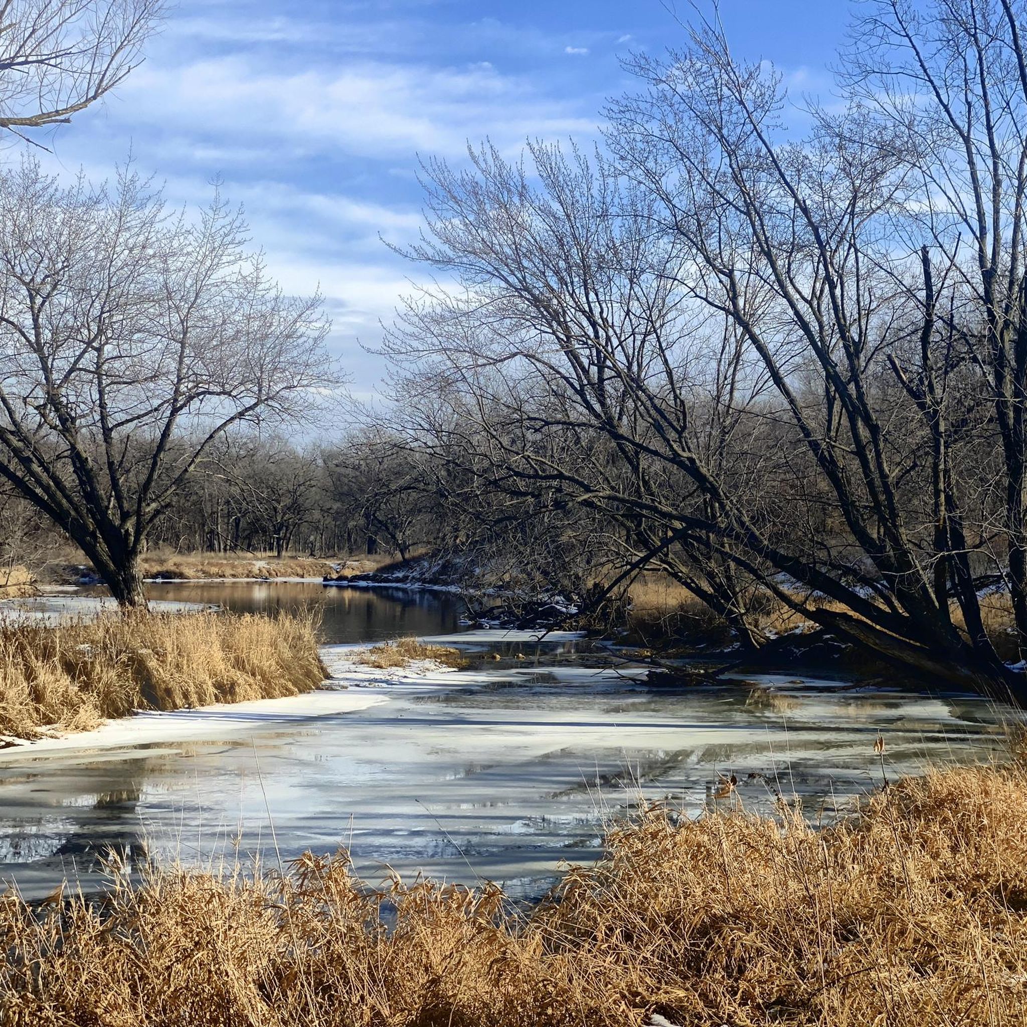
Dayton River Road is lightly trafficked route ideal for road cycling. It runs parallel to the river, offering a steady ride with mild elevation changes. Key access points to nearby trails and parks are available along the route.
1
0
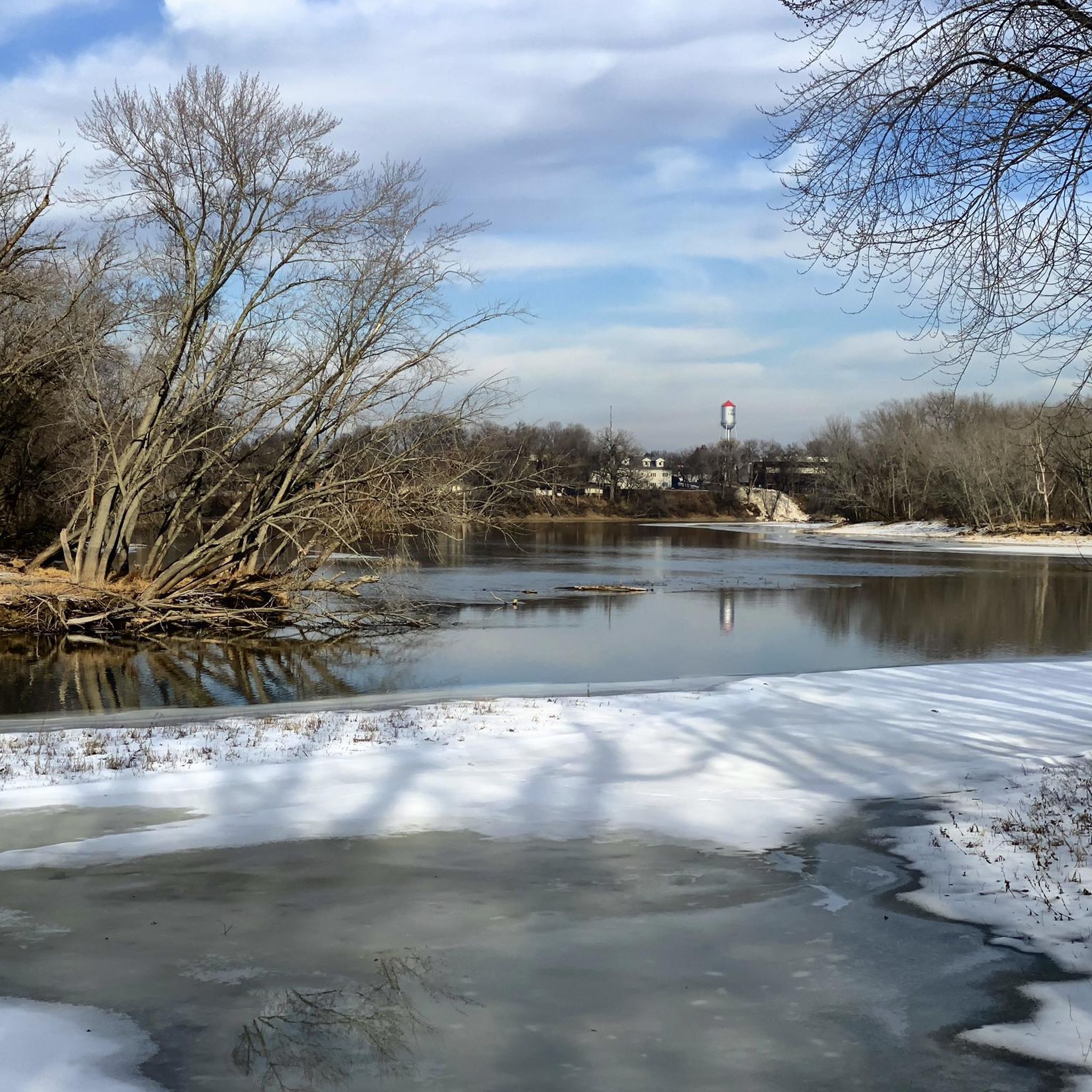
This section of Mississippi River Trail goes under the South Ferry Street Bridge. Close by, there is a boardwalk if you want to have a closer look to the river.
0
0
The Mississippi River Trail features a mix of paved and gravel sections, following the river through diverse landscapes. This stretch of the trail is entirely paved, winding through trees with river views. Scenic, smooth, and refreshing path.
0
0
Dayton River Road is lightly trafficked route ideal for road cycling. It runs parallel to the river, offering a steady ride with mild elevation changes. Key access points to nearby trails and parks are available along the route.
0
0

Baker Park Reserve offers 2,700 acres of natural beauty on Lake Independence. Its amenities include a golf course, campground, playground, and paved biking/hiking paths.
0
0

Coon Rapids Dam, located between Brooklyn Park and Coon Rapids, was built by Northern States Power Company in 1913-14 for hydropower generation, operating until 1966. The surrounding 446-acre Coon Rapids Dam Regional Park is a year-round recreational hub, with scenic views, hiking trails, picnic pavilions, fishing, and boating. The park connects to the Mississippi River Regional Trail, offering biking opportunities between Minneapolis and Ramsey.
1
0
The Coon Rapids Dam sits on the Mississippi River between Brooklyn Park and Coon Rapids. The dam was built by Northern States Power Company in 1913–1914 for hydropower, operating until 1966. Today, visitors can explore the Coon Rapids Dam Regional Park, open from 5:00 am to 10:00 pm, with the Visitor Center open Monday through Friday based on staff availability and on weekends from 9:00 am to 5:00 pm. The park offers activities like fishing at Cenaiko Lake, picnic pavilions, a boat launch, snowshoe rentals, and trails for biking, walking, and running. Seasonal concerts are every Thursday night at 7:00 pm during warm seasons. Enjoy the natural side of the park too like edible wild onions, blood root, and wildlife like ospreys, peregrine falcons, carp, and minks.
0
0

There are many additional hiking trails in Baker Park Reserve on the north side of County Road 24.
0
0
Frequently Asked Questions
How many road cycling routes are available in Otsego?
Otsego offers 5 dedicated road cycling routes, all of which are rated as moderate difficulty. These routes traverse a landscape characterized by rolling hills and winding country roads, providing diverse options for cyclists.
What is the typical terrain like for road cycling in Otsego?
Road cycling in Otsego is defined by its rolling hills, winding country roads, and scenic river valleys. The routes often feature well-paved surfaces, offering a mix of engaging climbs and enjoyable descents through forested areas and pastoral views.
What are the difficulty levels of road cycling routes in Otsego?
All the listed road cycling routes in Otsego are of moderate difficulty. They offer a balanced challenge with varying distances and elevation gains, suitable for cyclists looking for an engaging ride without extreme demands.
What is the best time of year for road cycling in Otsego?
The warmer months, particularly summer and early fall, are generally the best time for road cycling in Otsego. During these seasons, the weather is most favorable for enjoying the region's scenic routes and natural beauty.
Are there any natural features or parks to explore along the routes?
Yes, Otsego's road cycling routes can bring you close to natural features and parks. For instance, you might find yourself near areas like Crow-Hassan Park Reserve or along the Crow River, offering opportunities to enjoy the region's forests and waterways.
Where can I find parking for road cycling routes in Otsego?
Many road cycling routes in Otsego have convenient access to parking. For example, the Woodland Trails Park Trailhead is a known parking spot that can serve as a starting point for your rides.
Are there any family-friendly road cycling options in Otsego?
While all listed routes are moderate, the varied terrain with rolling hills and well-paved surfaces can be enjoyable for families with some cycling experience. For specific family-friendly amenities, you might look for routes near parks with facilities like the Nature Play Area.
Can I find loop trails for road cycling in Otsego?
Yes, Otsego offers several excellent loop trails for road cycling. Popular options include the County road 50 – Welcome to Loretto Sign loop from Saint Michael and the Ferry Street underpass – Dayton River Road loop from West Twin Lake, both providing scenic circular rides.
What do other road cyclists enjoy most about road cycling in Otsego?
The road cycling experience in Otsego is highly rated by the komoot community, with an average score of 5.0 stars. Reviewers often praise the region's varied terrain, including rolling hills and river valleys, and the well-maintained country roads that offer both challenging and enjoyable rides.
Are there any long-distance road cycling routes in Otsego?
Yes, Otsego features several routes that offer a good distance for road cyclists. The longest route available is the Rum River Regional Trail – Ferry Street underpass loop from 96 Av N, which spans approximately 48 miles (77 km).
Are there any specific trails or parks mentioned that are suitable for road bikes?
While the region has various trails, the listed routes are specifically designed for road bikes, utilizing well-paved country roads. Areas like HillSide City Park might offer access points or connections to suitable road cycling paths.
What kind of elevation gain can I expect on Otsego's road cycling routes?
Otsego's road cycling routes feature moderate elevation gains, reflecting the region's rolling hills. For example, the County road 50 – Welcome to Loretto Sign loop from Saint Michael route includes an elevation gain of over 740 feet (226 meters), providing a good workout.
Most popular routes around Otsego
Most popular attractions around Otsego

Get inspired with the komoot mobile app


Explore more
Browse the best Road cycling routes in other regions.
