The best road cycling routes around Blaine
4.9
(19)
771
riders
74
rides
Road cycling around Blaine, Minnesota, is characterized by an extensive network of paved trails and bike-friendly roads, offering varied terrain suitable for different skill levels. The region features numerous lakes, wetlands, and forested areas, providing scenic routes with generally minimal elevation changes. Cyclists can explore routes that wind through natural sanctuaries and connect to larger regional park systems.
Best road cycling routes around Blaine
- The most popular road cycling route is North Lakes loop, a 36.2 miles (58.3 km)…
Last updated: October 14, 2026
4.0
(1)
2
riders
58.3km
02:22
200m
200m
The North Lakes loop offers a delightful racebike experience, guiding you through a landscape rich with water features and green spaces. You'll glide past the calm waters of Long Lake…
5.0
(2)
19
riders
42.7km
01:43
140m
140m
Moderate road ride. Great for any fitness level. Some segments of this route may be unpaved and difficult to ride.

10
riders
33.1km
01:22
110m
110m
Easy road ride. Great for any fitness level. Mostly well-paved surfaces and easy to ride.
9
riders
Moderate road ride. Good fitness required. Mostly well-paved surfaces and easy to ride.
5.0
(2)
16
riders
41.1km
01:36
110m
110m
Easy road ride. Great for any fitness level. Mostly well-paved surfaces and easy to ride.
Get access to more routes and recommendations from other explorers.
Already have an account?
Our route recommendations are based on thousands of hikes, rides, and runs completed by other people on komoot.
Start today with a free account
Your next adventure awaits.
Popular around Blaine

Tips from the Community

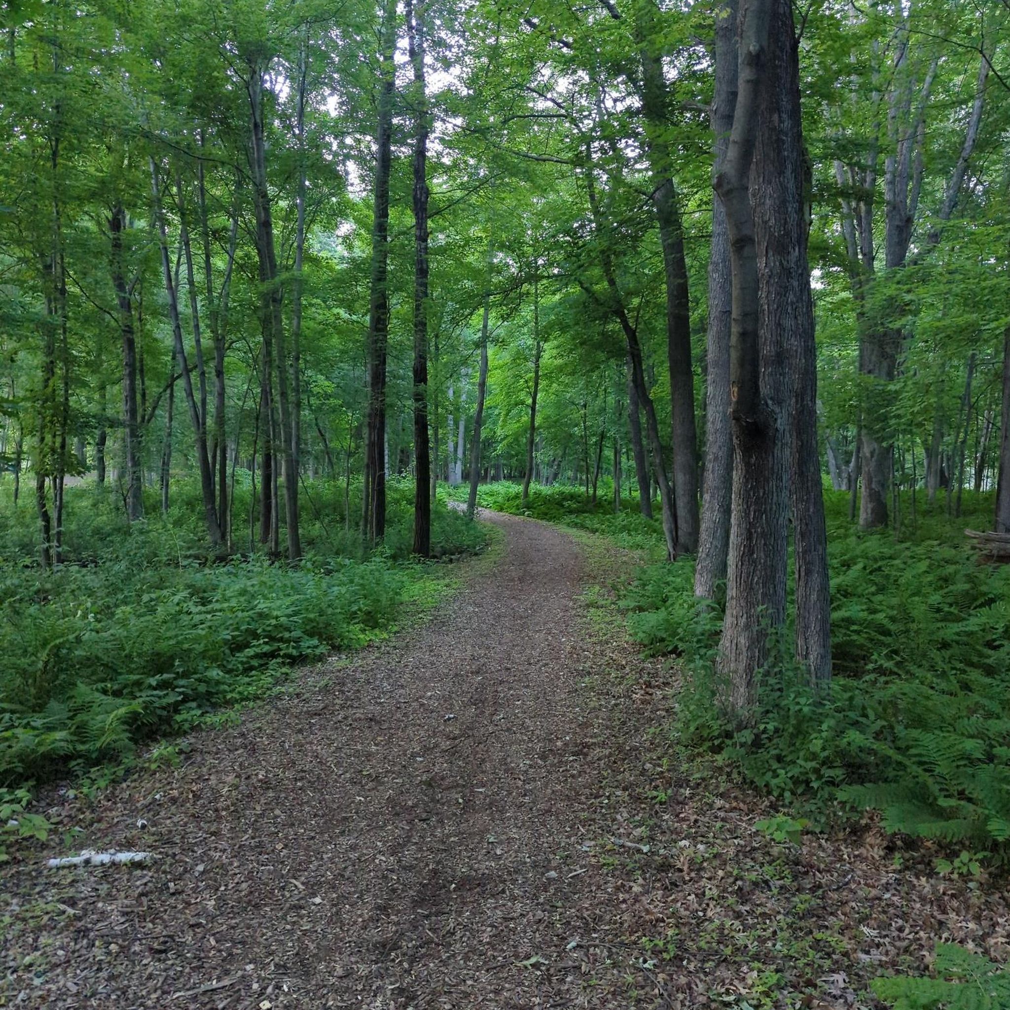
A nice regional trail that tucks in and out of the woods
0
0

White Bear Lake is known as Bde Maṭo Ská by the Native Dakota people, and they were known for using the lake's island as a source for making Maple syrup. In his book "Life on the Mississippi" (1883) Mark Twain described the lake as such: "The White-bear Lake is less known. It is a lovely sheet of water, and is being utilized as a summer resort by the wealth and fashion of the State. It has its club-house, and its hotel, with the modern improvements and conveniences; its fine summer residences; and plenty of fishing, hunting, and pleasant drives. There are a dozen minor summer resorts around about St. Paul and Minneapolis, but the White-bear Lake is the resort."
0
0

This beach is part of White Bear Lake County Park and connects to the Mark Sather Trail, which wraps around the west end of the lake. There is beach access, bathrooms, water, and parking here as well.
0
0

The Rice Creek Regional Trail near Mounds View is split into a northern and a western section. The northern section follows the name-giving Rice Creek and encircles two little ponds while passing through woodlands and open meadows.
1
0

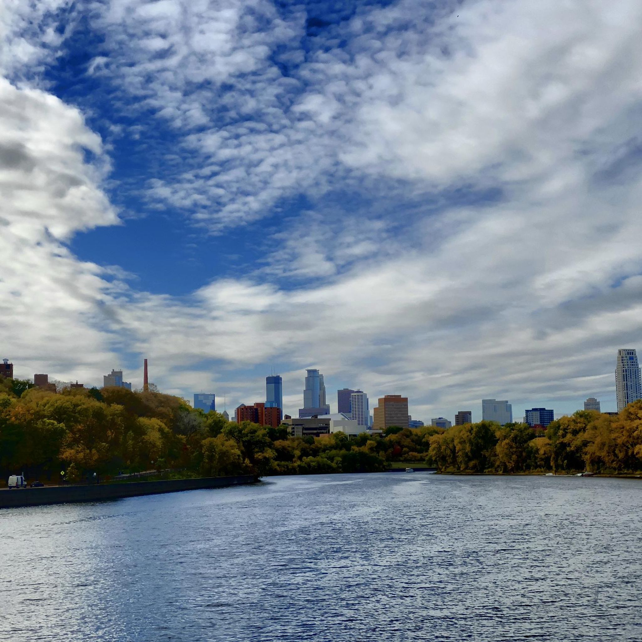
This section of Mississippi River Trail goes under the South Ferry Street Bridge. Close by, there is a boardwalk if you want to have a closer look to the river.
0
0

The bike path features this lovely bridge over Elm Creek. As you ride along Maple Grove Arboretum, you get an up-close view of the beautiful trees that line the 15-acre park, especially in autumn when the leaves change.
0
0

The Coon Creek Trail is a great 7-mile long trail. It is fully paved and, as the name suggests, it follows along the Coon Creek.
0
0
Frequently Asked Questions
How many road cycling routes are available around Blaine?
Blaine, Minnesota, offers a wide variety of road cycling routes. There are over 70 routes recorded on komoot, catering to different preferences and skill levels.
What kind of terrain can I expect on road cycling routes in Blaine?
Road cycling in Blaine is characterized by an extensive network of paved trails and bike-friendly roads. The terrain generally features minimal elevation changes, making many routes accessible. However, some longer routes may require good fitness due to moderate elevation gains, offering a mix of easy and moderate challenges.
Are there routes suitable for beginners or families in Blaine?
Yes, Blaine offers many routes suitable for beginners and families. Over 40 of the available routes are rated as 'easy', featuring paved surfaces and generally flat terrain. An example is the Long Lake Park – Through the pines loop from Circle Pines, which is 17.5 miles long and rated easy.
Can I find longer, more challenging road cycling routes in Blaine?
Absolutely. For those seeking a greater challenge, Blaine has several moderate routes. The North Lakes loop is a popular moderate route spanning 36.2 miles through Ramsey County, offering lake views and forests. Another option is the White Bear Lake – East & West Vadnais Lakes loop from Circle Pines, a moderate 33.9-mile ride.
What natural attractions or landmarks can I see along the road cycling routes?
Blaine's road cycling routes often pass through scenic natural areas. You can explore the diverse landscapes of the Blaine Wetland Sanctuary, which features open wetlands and dense forests. Many routes also connect to larger systems like the Bunker Hills Regional Park. The Coon Rapids Dam is another notable landmark you might encounter on routes like the Coon Rapids Dam – Elm Creek Park Reserve loop from Spring Lake Park.
Are there any loop routes for road cycling in Blaine?
Yes, many of the road cycling routes in Blaine are designed as loops, providing convenient starting and ending points. Popular examples include the North Lakes loop and the Coon Rapids Dam – Elm Creek Park Reserve loop from Spring Lake Park, allowing cyclists to experience varied scenery without retracing their path.
What do other cyclists say about road cycling in Blaine?
The road cycling routes in Blaine are highly regarded by the komoot community, with an average rating of 4.9 out of 5 stars from over 20 reviews. Cyclists often praise the extensive paved trails, the beautiful lake views, and the opportunity to cycle through natural sanctuaries.
Are there specific parks or natural areas that road cyclists can explore?
Blaine offers several parks and natural areas ideal for road cycling. The city's trails connect to larger systems like Bunker Hills Regional Park and the Rice Creek Trail systems. You can also find routes that wind through the Blaine Wetland Sanctuary, offering diverse landscapes and opportunities for wildlife viewing.
What are some of the notable lakes I can cycle past in Blaine?
Many road cycling routes in Blaine feature picturesque lake views. You can cycle past East & West Vadnais Lakes on routes like the White Bear Lake – East & West Vadnais Lakes loop from Circle Pines. Other notable lakes in the area include Island Lake, offering serene natural settings.
Are there any trails that connect to larger regional park systems?
Yes, Blaine's extensive trail network is well-connected to larger regional park systems. For instance, the Coon Rapids Dam – Elm Creek Park Reserve loop from Spring Lake Park connects to significant park reserves, expanding your cycling possibilities and allowing for longer, more varied rides through diverse landscapes.
What is the best time of year for road cycling in Blaine?
While specific seasonal advice isn't detailed, Blaine's extensive paved trails and generally flat terrain make it enjoyable for road cycling during warmer months. Spring, summer, and fall typically offer pleasant conditions to explore the lakes, wetlands, and forested areas. Winter cycling would depend on snow and ice conditions.
Most popular attractions around Blaine

Get inspired with the komoot mobile app


Explore more
Browse the best Road cycling routes in other regions.
