The best cycling routes around Woodland
4.6
(140)
1,140
riders
104
rides
Touring cycling around Woodland offers a diverse landscape for riders. The region features a mix of established rail trails and local roads, providing varied surfaces for cycling. Routes often traverse open areas and connect to natural features, with moderate elevation changes. This environment supports a range of cycling experiences, from leisurely rides to more challenging excursions.
Best touring cycling routes around Woodland
- The most popular touring cycling route is Arcola Trestle Bridge – Dakota Rail Regional Trail loop from Vine…
Last updated: June 28, 2026
4.7
(11)
64
riders
43.3km
02:29
150m
150m
Moderate bike ride. Good fitness required. Mostly paved surfaces. Suitable for all skill levels.
4.8
(8)
51
riders
40.0km
02:29
190m
190m
Moderate bike ride. Good fitness required. Mostly paved surfaces. Suitable for all skill levels.

Sign up for free
4.7
(10)
60
riders
35.0km
02:05
150m
150m
Moderate bike ride. Good fitness required. Mostly paved surfaces. Suitable for all skill levels.
4.0
(2)
38
riders
19.9km
01:15
120m
120m
Easy bike ride. Great for any fitness level. Mostly paved surfaces. Suitable for all skill levels.
5.0
(1)
16
riders
37.9km
02:16
170m
170m
Moderate bike ride. Good fitness required. Mostly paved surfaces. Suitable for all skill levels.
Get access to more routes and recommendations from other explorers.
Sign up for free
Already have an account?
Our route recommendations are based on thousands of hikes, rides, and runs completed by other people on komoot.
Start today with a free account
Your next adventure awaits.
Login or Signup

Tips from the Community

Great place to stop for a quick beer, it was there several year birthday today!
0
0
Neat intersection, great beer at the brewery
0
0

The Wayzata Railroad Depot has a rich and contentious history. The first train arrived in Wayzata in 1867, when the town was considered the "end of the road." The original depot was located about a block east of the current depot. As the railroad expanded westward, more tracks were laid between Lake Minnetonka and Main Street in Wayzata. This decision led to protests from citizens due to issues such as noise, cinders, sparks, and the feeling of being cut off from the lake. Residents demanded that the railroad owner, James J. Hill, relocate the tracks further north, away from the lakeshore. Hill refused, resulting in the town filing a lawsuit. In 1881, the Minnesota Supreme Court ruled that Hill was trespassing on village property. Known for his stubborn and powerful nature, Hill was infuriated. Instead of moving the tracks north, he tore down the existing Wayzata depot and built a new, smaller depot a mile east of town. This action effectively made Wayzata "off the map" for rail service, forcing residents to walk a mile through marshy terrain to catch a train. Hill famously declared that Wayzata residents could "walk a mile for the next twenty years." Eventually, the city of Wayzata reconciled with Hill. As part of this agreement, Hill commissioned the construction of the current magnificent Wayzata Depot in 1906. This new depot was built in a more convenient location, closer to the downtown business district and on the shores of Lake Minnetonka, officially putting Wayzata "back on the map." The tracks were never moved, and trains still operate between the lakeshore and the town of Wayzata.
0
0

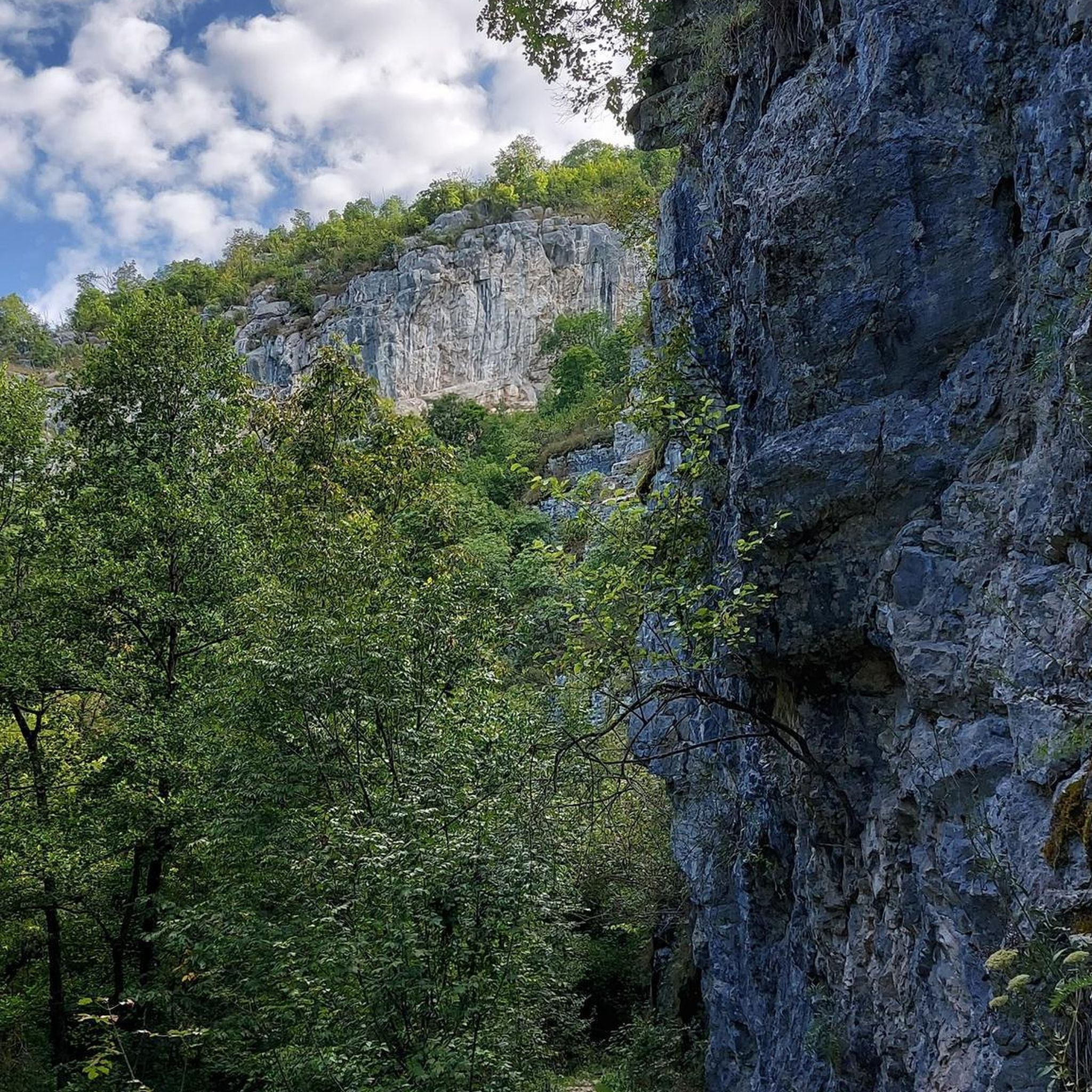
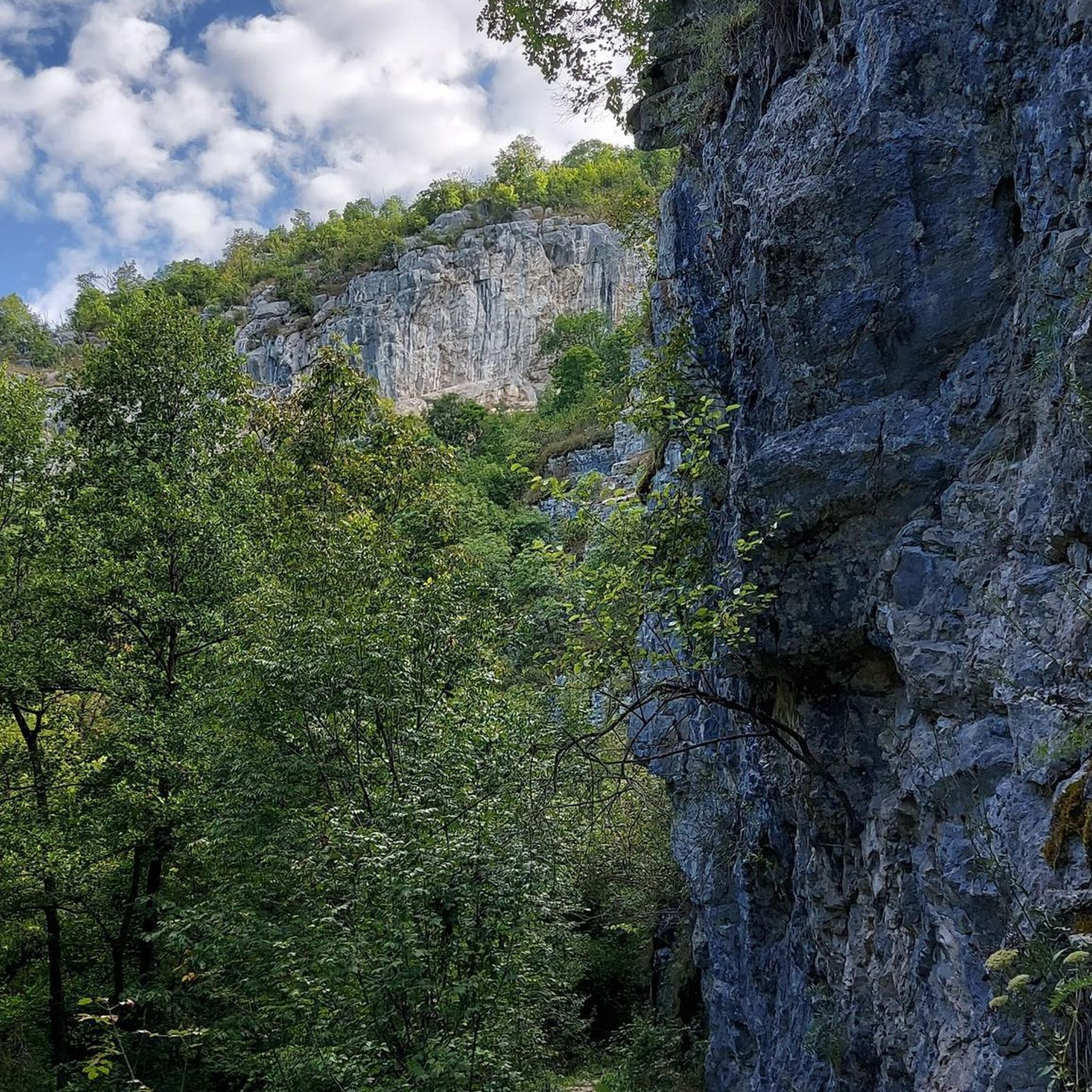
Tamarack Lake is just off the side of the Lake Minnetonka Regional Trail. It's sort of hidden behind some trees and below some cliffs, but you can catch a glimpse if you look for it.
0
0

This short bridge on the Lake Minnetonka Regional Trail give you great views of Saint Albans Bay. It is purpose built for trail users and set apart from the road traffic bridge.
0
0

The Dakota Park Bridge is a pedestrian bridge that takes you above the railroad tracks that run alongside North Cedar Lake Regional Trail.
0
0
Frequently Asked Questions
What kind of terrain can I expect on touring cycling routes around Woodland?
The touring cycling routes around Woodland offer a diverse landscape, primarily featuring established rail trails and local roads. You'll find a mix of paved and unpaved sections, with moderate elevation changes. This environment provides a range of cycling experiences, from leisurely rides to more challenging excursions.
How many touring cycling routes are available in the Woodland area?
There are over 100 touring cycling routes available around Woodland, catering to various skill levels. This includes 55 easy routes, 46 moderate routes, and a few more challenging options.
Are there any easy touring cycling routes suitable for beginners?
Yes, Woodland offers many easy routes perfect for beginners. For example, the St. Albans Bay Bridge – Excelsior Brewing loop from Tonkawood Rd is an easy 12.4-mile (19.9 km) trail that takes about 1 hour 15 minutes to complete, leading through local communities and natural areas.
What are some popular loop cycling routes in Woodland?
Many popular routes in Woodland are loops. Two highly rated options include the Arcola Trestle Bridge – Dakota Rail Regional Trail loop from Vine Hill P&R, a 25.0-mile (40.3 km) moderate route, and the Dakota Rail Regional Trail – Arcola Trestle Bridge loop from Wayzata, a moderate 26.9-mile (43.3 km) path offering scenic views.
What can I see or explore along the touring cycling routes in Woodland?
The routes often connect to natural features and local attractions. You can explore areas like West Medicine Lake Park Beach, the scenic St. Albans Bay Bridge, and the Arcola Trestle Bridge. The Dakota Rail Regional Trail itself is a significant highlight, offering beautiful views.
Are there any natural areas or wetlands to explore by bike?
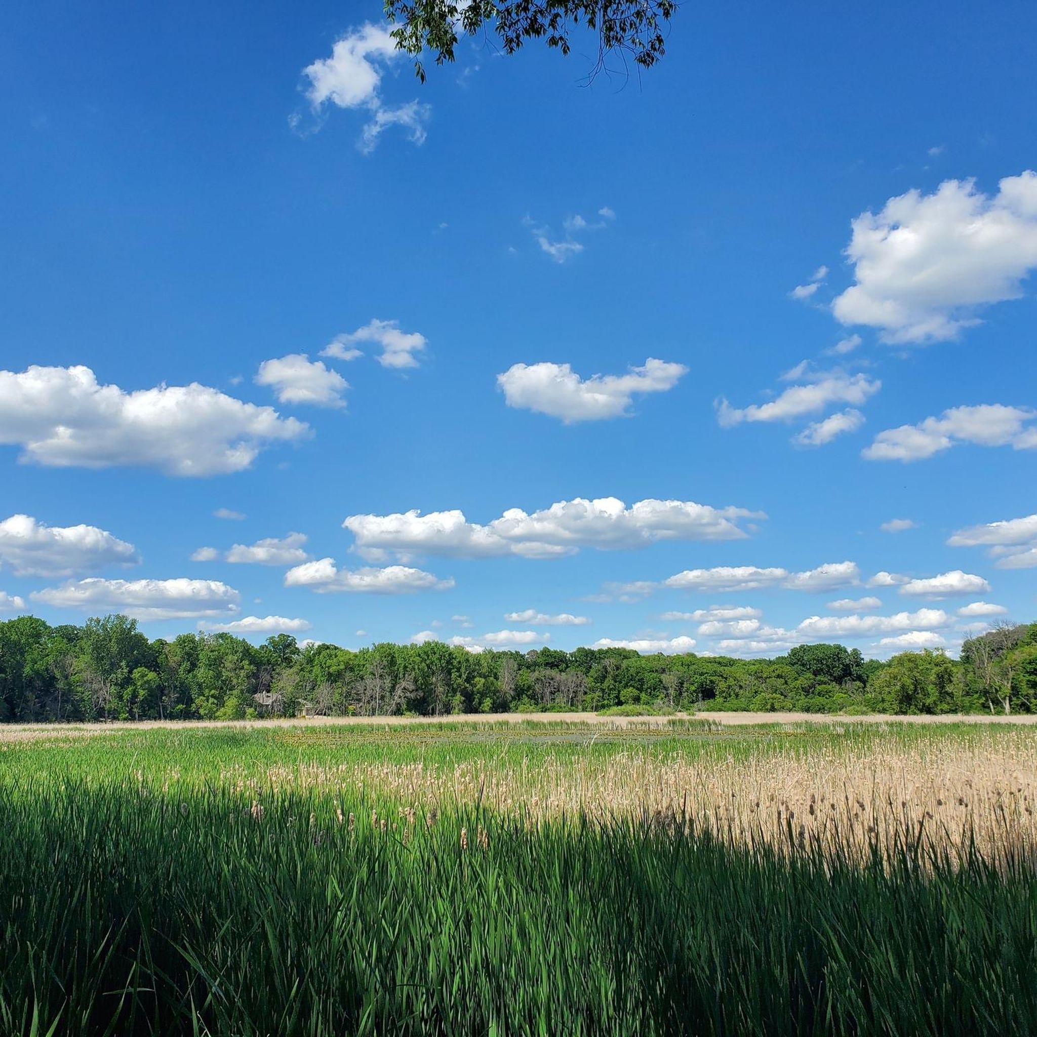
Yes, the region features riparian corridors and wetlands. You can find natural areas like Ferndale Marsh and Victoria Lake and Playground, which offer opportunities to experience local ecosystems and potentially spot wildlife.
What do other touring cyclists say about the routes in Woodland?
The routes in Woodland are highly rated by the komoot community, with an average score of 4.5 stars from over 100 reviews. More than 1000 touring cyclists have used komoot to explore Woodland's varied terrain, often praising the accessible rail trails and well-maintained paths.
Are there any family-friendly cycling options in Woodland?
Many of the easy and moderate rail trails are suitable for families. The generally accessible nature of the routes, with varied surfaces and moderate distances, makes them enjoyable for different age groups. Consider routes that pass through parks or near lakes for added family appeal.
What is the best time of year for touring cycling in Woodland?
While specific seasonal data isn't provided, regions with diverse landscapes like Woodland often offer pleasant cycling conditions in spring, summer, and fall. Spring brings blooming nature, summer offers warmth, and fall provides scenic foliage. Always check local weather conditions before heading out.
Are there options for longer touring cycling routes?
Yes, many routes offer moderate distances. For example, the Bederwood Park – Ox Yoke Inn loop from 12 Av N is a 25.7-mile (41.4 km) route, and the Brownie Lake – Luce Line Trail Wooden Bridge loop from White Birch Rd covers 23.8 miles (38.3 km), providing good options for longer rides.
Where can I find information about parking for cycling routes?
Many routes, especially those starting from parks or trailheads like the Arcola Trestle Bridge – Dakota Rail Regional Trail loop from Vine Hill P&R, often have designated parking areas. It's advisable to check the specific route details on komoot for information on starting points and potential parking facilities.
Most popular attractions around Woodland

Get inspired with the komoot mobile app


Explore more
Browse the best Cycling routes in other regions.
