The 9 Most Amazing Peaks in Landkreis Schaumburg
Best mountain peaks in Landkreis Schaumburg are found within Lower Saxony, Germany, offering a diverse landscape of notable elevations and ranges. The region is characterized by picturesque forested ridges and high plateaus, providing varied terrain for exploration. Key areas include the Bückeberg, Süntel, and parts of the Deister hills, which contribute to the scenic beauty. These natural features make Landkreis Schaumburg a destination for those seeking outdoor activities and panoramic views.
Best mountain peaks in Landkreis Schaumburg
- The most popular…
Last updated: October 11, 2026
Ida Tower in the Harrl
Highlight • Monument
Translated by Google •
Tip by

Barsinghausen Telecommunications Tower
Highlight • Monument
Translated by Google •
Tip by

Sign up now to discover places like this
Get recommendations on the best single tracks, peaks, & plenty of other exciting outdoor places.
Wilhelm Tower, Bad Rehburg
Highlight • Monument
Translated by Google •
Tip by

Highest Point of Schaumburg District (Goldbeck)
Highlight • Summit
Translated by Google •
Tip by

Shelter at the Former Ludwigsturm
Highlight • Rest Area
Translated by Google •
Tip by

View from Rodenberger Höhe
Highlight • Viewpoint
Translated by Google •
Tip by

Königshütte and View of Porta Westfalica
Highlight • Mountain Hut
Translated by Google •
Tip by

Möncheberg
Highlight • Mountain Hut
Translated by Google •
Tip by

Great Karl
Highlight (Segment) • Summit
Translated by Google •
Tip by

View over Extertal and Porta Westfalica from the highest point in Schaumburg
Highlight • Viewpoint
Translated by Google •
Tip by

Sign up for free to discover even more peaks in Landkreis Schaumburg.
Already have an account?
Start today with a free account
Your next adventure awaits.
Popular around Landkreis Schaumburg
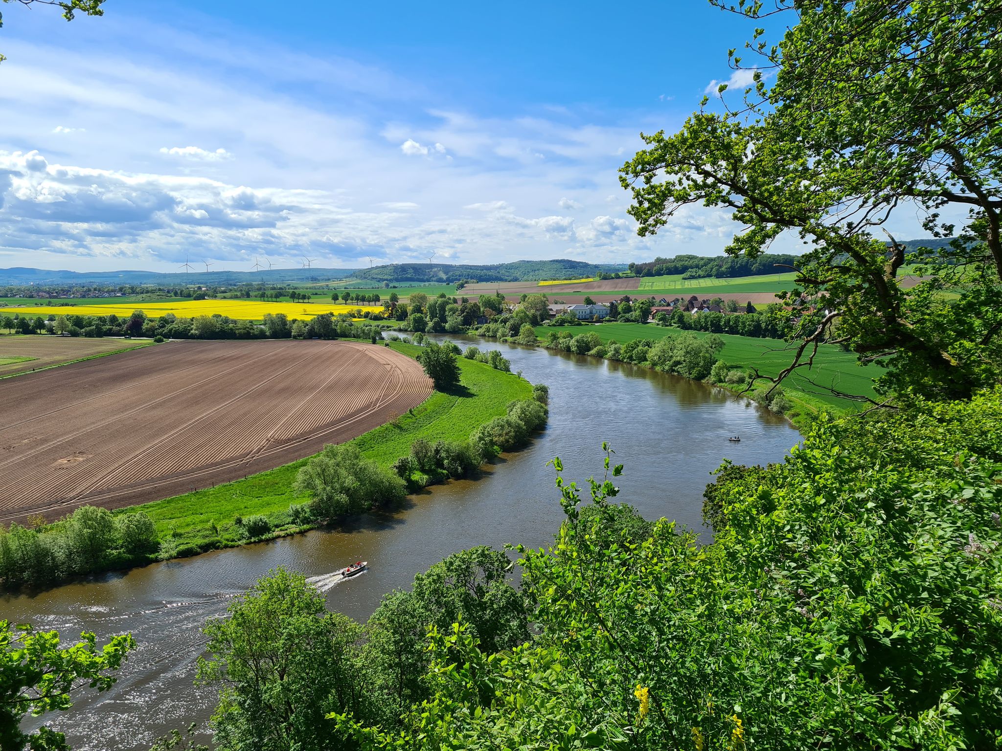
Loccum-Volkenroda pilgrim's way – From monastery to monastery
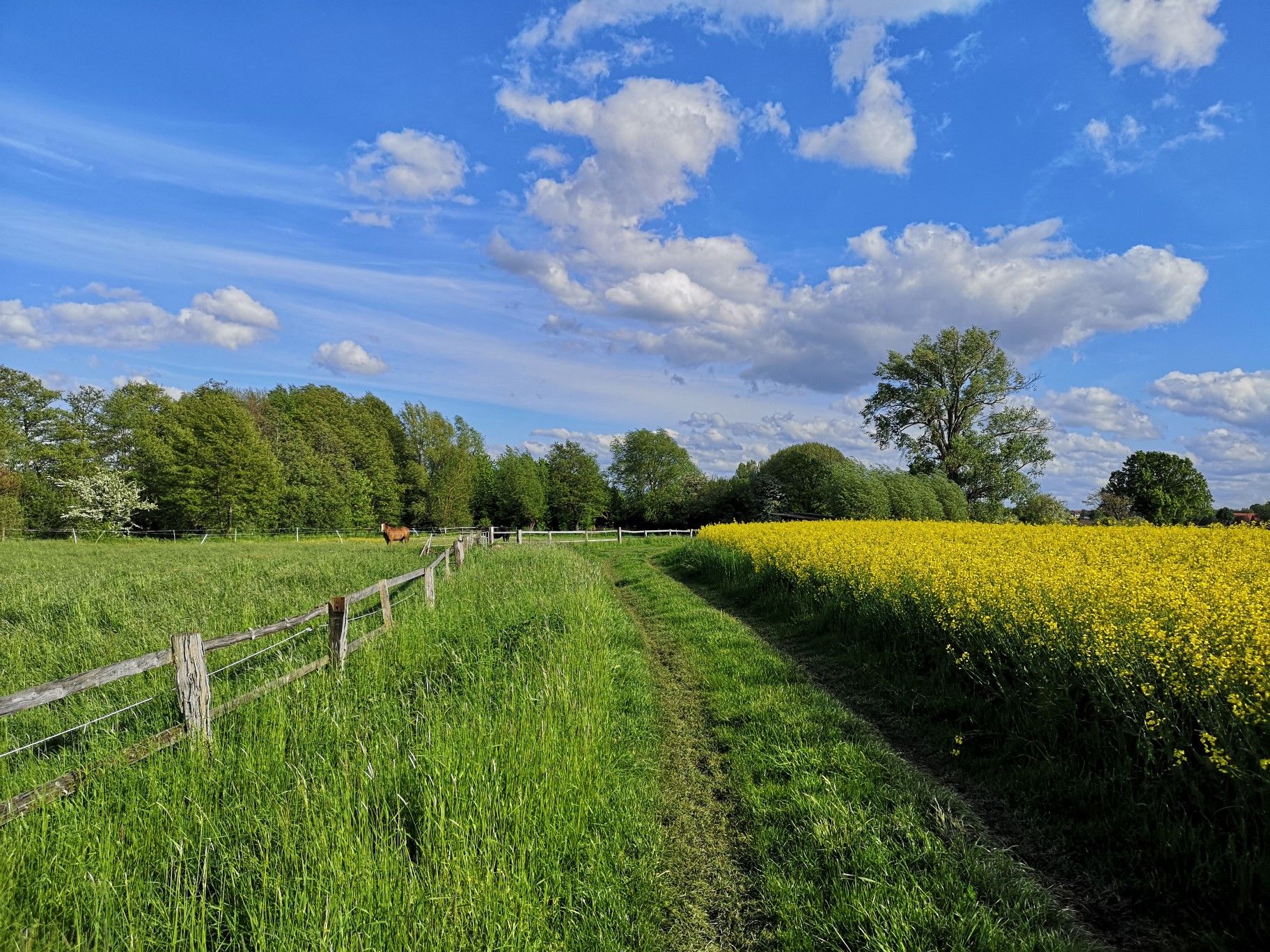
Hiking on Germany's Bückeberg Trail – Gentle hills and green forests
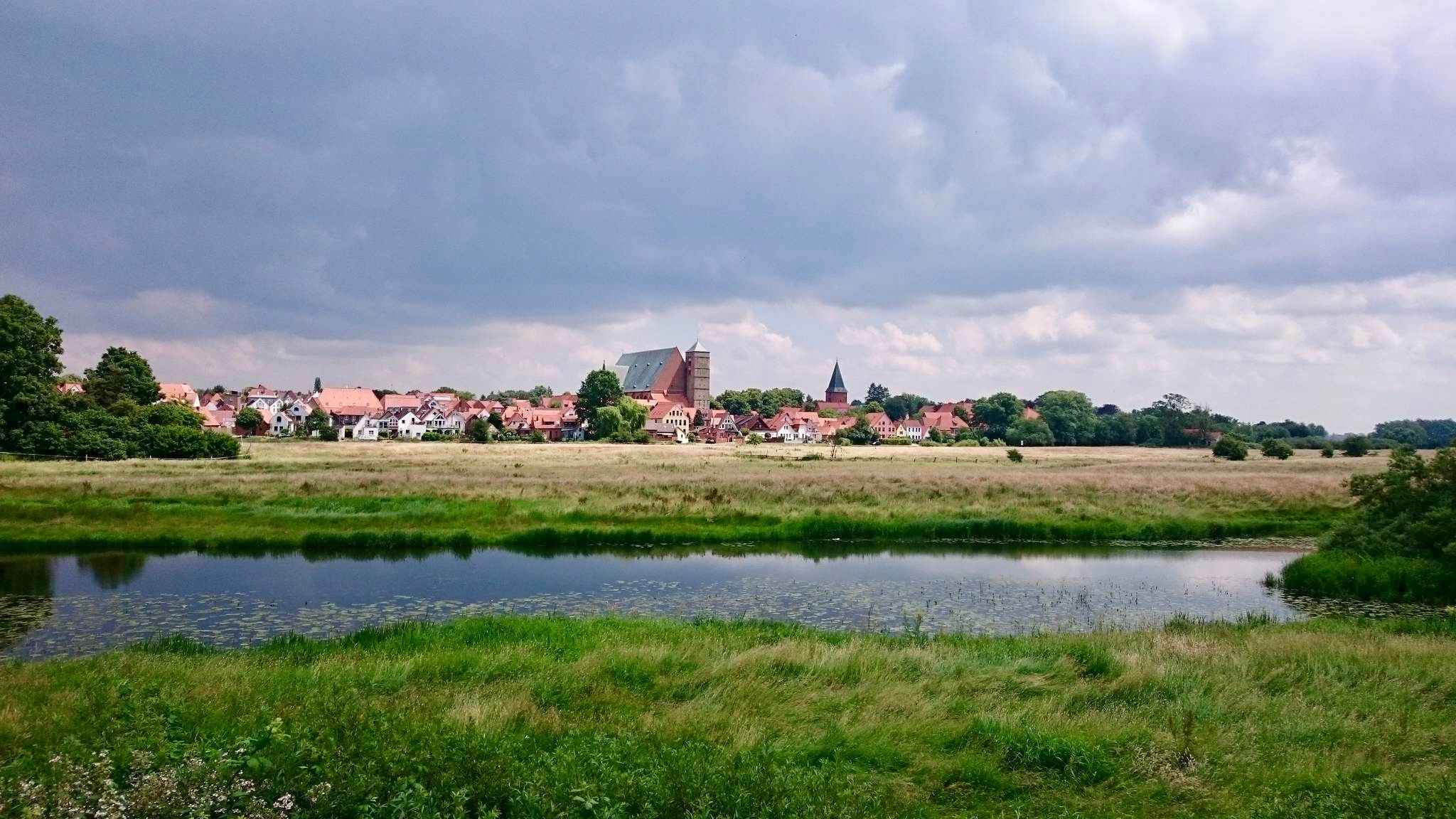
The Weser Cycle Path
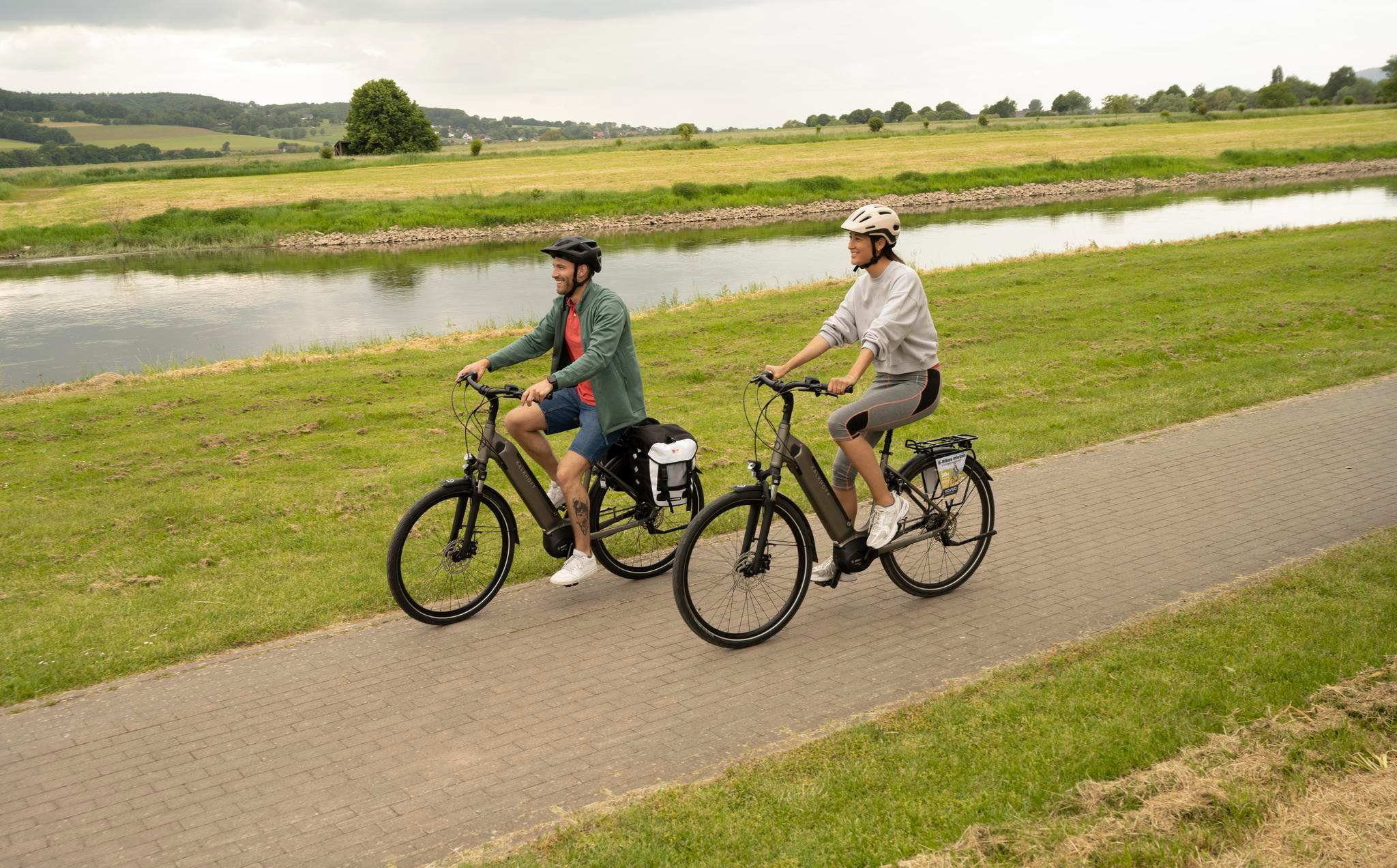
Relaxed rides in the Weser Uplands – E-bike routes with spectacular views
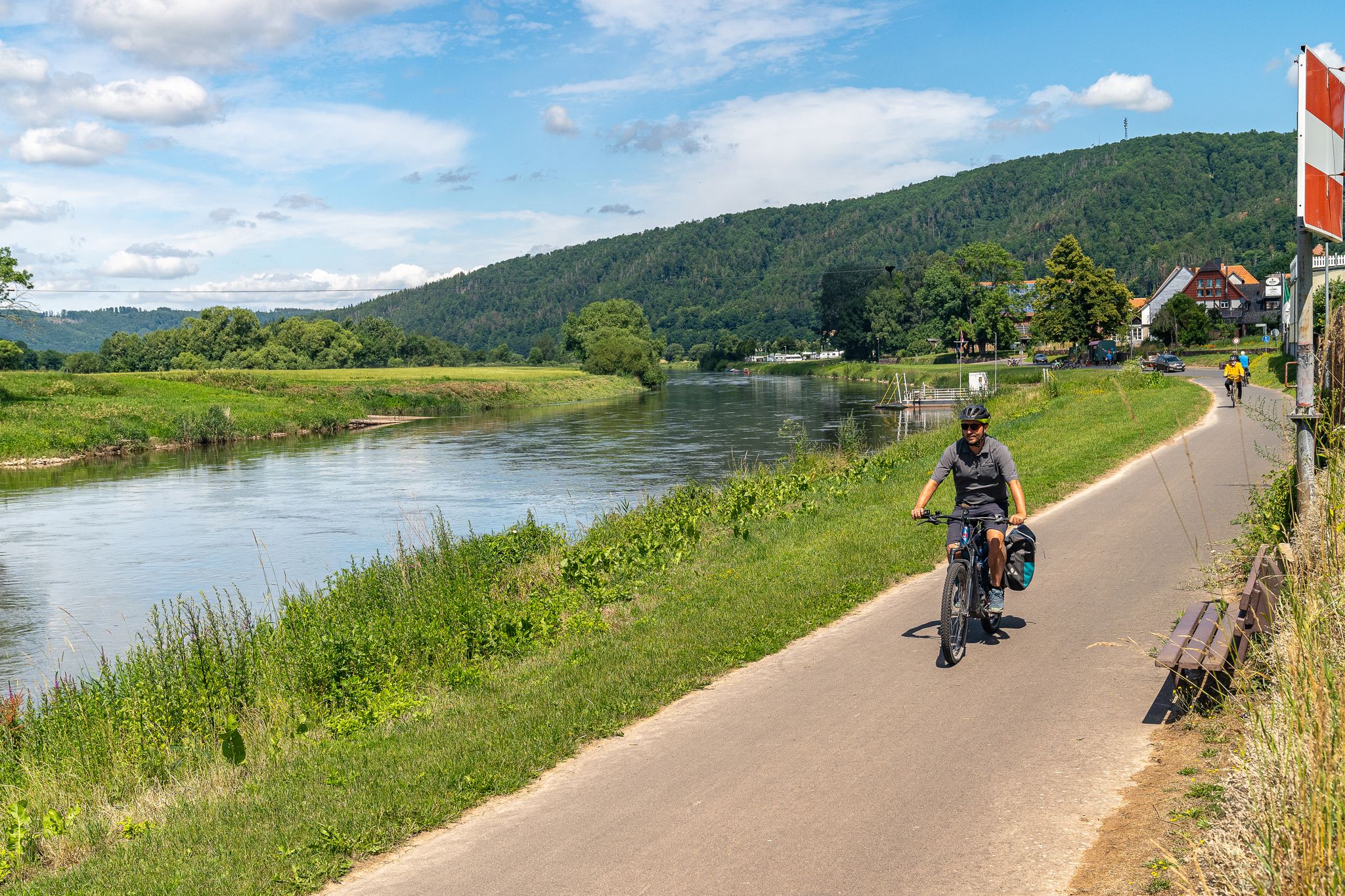
Freedom and pure cycling pleasure – Bike & Camp in the Weser Uplands
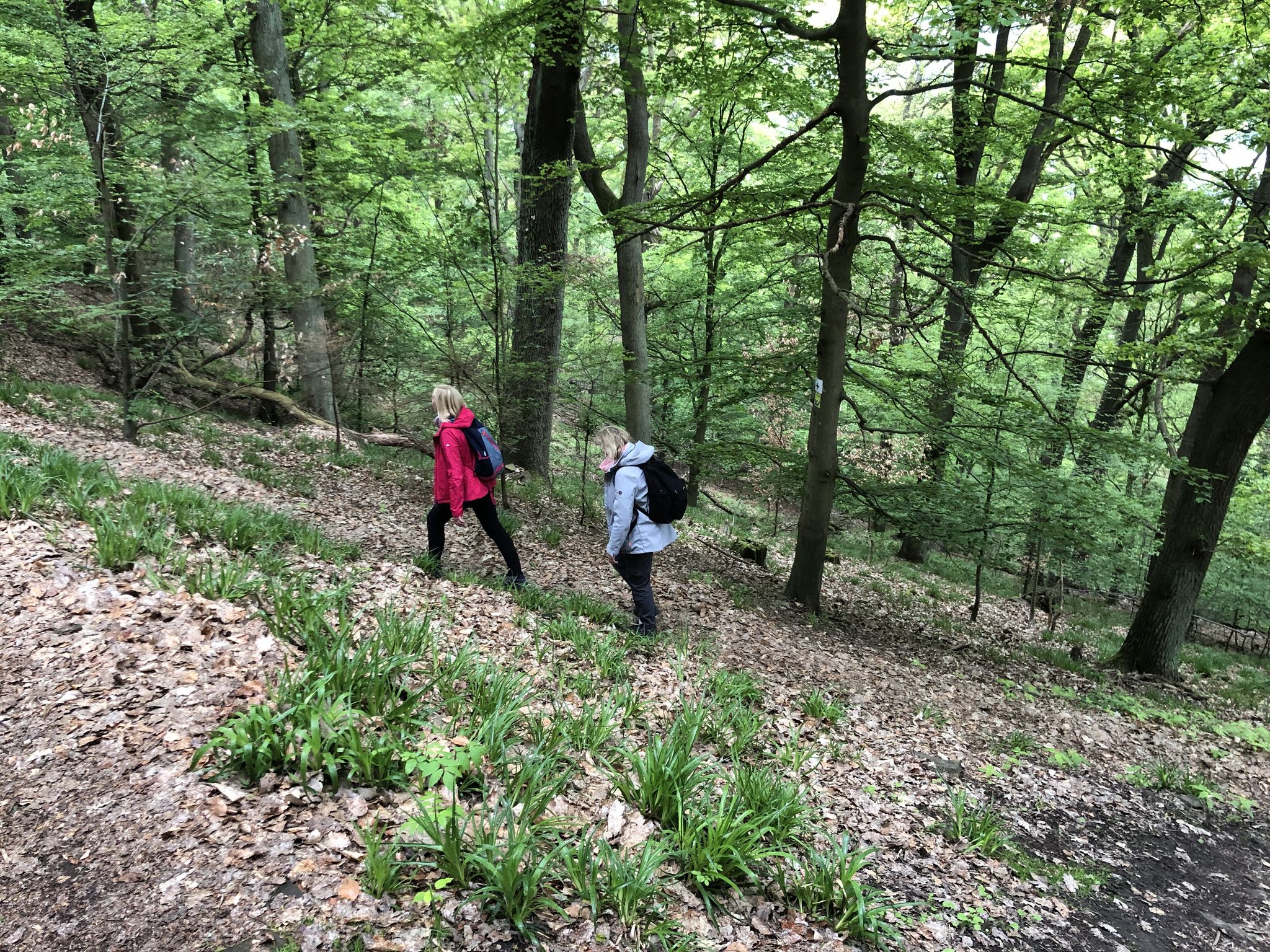
On the Discoverer's trail Explore Rehburg-Loccum
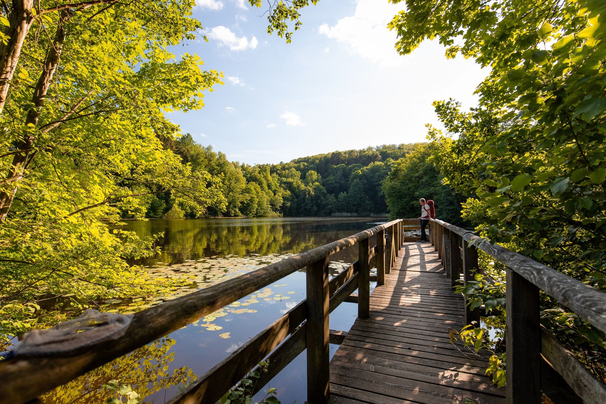
Time in the countryside – recharge your batteries in the Weserbergland
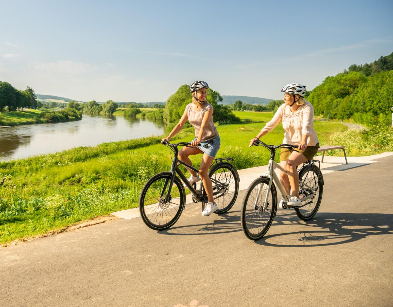
Nature, culture & cycling fun – top 10 Tours in the Weser Uplands
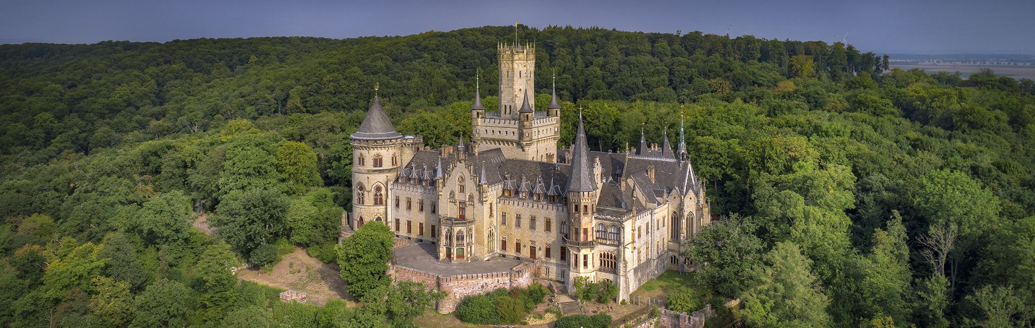
Cultural route in Niedersachsen – By Bike through Hannover and the surrounding countryside
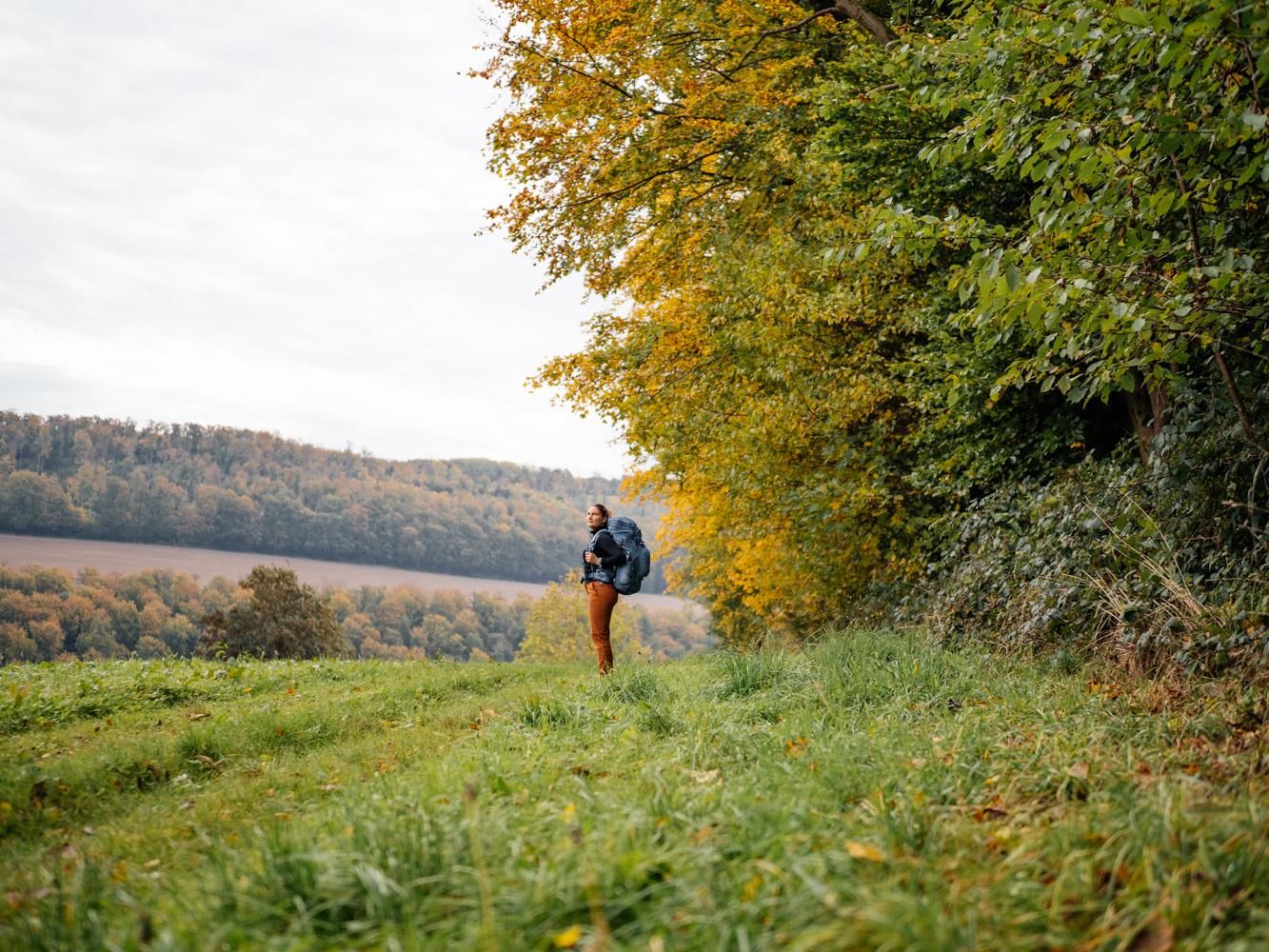
Weser Uplands Trail in autumn – out and about with Fräulein Draußen
Other adventures in Landkreis Schaumburg


Tips from the Community

after a short hike, the destination with a view is reached
3
0

The Möncheberg shelter is located in the heart of the Wesergebirge ridge nature reserve, a protected forest area known for its ancient beech trees, calcareous slopes, and rare flora and fauna. Those who climb the narrow path to the shelter will find a tranquil retreat, surrounded by the gentle rustling of the forest and the soft light filtering through the canopy. The shelter serves hikers as a short rest stop and offers a glimpse into the diverse, pristine landscape of the Wesergebirge – a place where the peace of nature can be experienced most directly.
1
0

The Rodenberger Höhe rises west of Heisterburg Castle at 322 m above sea level. It is a trigonometric point for the national survey and the site of a tower with telecommunications equipment. About 600 meters northwest of this spot – still in the parcel of land of the same name – is the Rodenberger Hütte, which is why many Deister hikers also call it the "Rodenberger Höhe." As early as the reign of Kaiser Wilhelm II, the Hanover Tourist Association built a shelter here from rubble stone with a flat roof serving as an observation platform, offering a magnificent view of Lake Steinhude, the Süntel Valley, the Süntel, and the Bückeberge Mountains. Today, the view is limited by the fast-growing trees below the hut and will surely soon become overgrown unless the responsible Saupark (Springe) Forestry Office takes countermeasures. Source: https://guentherklapproth.hier-im-netz.de/nachtrag_5_rodenberger_hoehe.html
1
0
The Rodenberger Höhe rises to the west of the Heisterburg at 322 m above sea level. It is a trigonometric point for the national survey and the location for a tower with telecommunications equipment. About 600 meters northwest of this point you will find the Rodenberger Hütte - still in the parcel of land of the same name - which is why many Deister hikers also call it the "Rodenberger Höhe". As early as the reign of Kaiser Wilhelm II, the Hanover Tourist Association had built a shelter here out of quarry stone with a flat roof that served as a viewing platform, from which a wonderful view of the Steinhuder Meer, Sünteltal, Süntel and Bückeberge was possible. Source: https://guentherklapproth.hier-im-netz.de/nachtrag_5_rodenberger_hoehe.html
2
0

At the end of autumn last year, my front wheel was so deep in the mud that the pedals touched the ground, so at this time of year it's better to stick to the gravel roads.
0
0

Wildly romantic path with ascent and descent around the Großer Karl (302m). Depending on the season and the condition of the path, the path can be easy to walk, but you should definitely not count on it.
1
0

Beautiful views in all directions.
1
0

Great stone shelter and great view of the Weser Valley
2
0
Frequently Asked Questions
What are the highest mountain peaks in Landkreis Schaumburg?
The highest point within Landkreis Schaumburg is near Goldbeck, reaching 378 meters (1,240 feet). Other significant elevations include the Bückeberg at 375 meters and parts of the Deister range up to 361 meters. The Süntel massif, while its absolute highest point (Hohe Egge at 437.5 meters) is slightly outside the immediate district, significantly influences the region's landscape.
Which mountain peaks offer the best panoramic views in Landkreis Schaumburg?
For expansive views, consider visiting the Highest Point of Schaumburg District (Goldbeck), which is a high plateau offering vistas in all directions. The Ida Tower in the Harrl provides views extending to the Mindener Land, Obernkirchen, and the Weser Mountains. Additionally, the Wilhelm Tower, Bad Rehburg offers views of the Steinhuder Meer on clear days.
Are there family-friendly mountain peaks or viewpoints in Landkreis Schaumburg?
Yes, several spots are suitable for families. The Highest Point of Schaumburg District (Goldbeck) is considered family-friendly. The Wilhelm Tower, Bad Rehburg is also a family-friendly historical site. Another option is the View over Extertal and Porta Westfalica from the highest point in Schaumburg, which is also noted as family-friendly.
What unique natural features can I find around the mountain peaks in Landkreis Schaumburg?
The Süntel massif is particularly rich in unique natural features. It hosts the largest dripstone cave in Lower Saxony, the Schillat Caves, and features the two highest natural waterfalls in Lower Saxony near Langenfeld. The Hohenstein plateau within Süntel is known for its impressive rock faces and deep clefts. You can also find rare dwarf beech trees (Süntel-Buche) and diverse flora and fauna in its mixed woods.
What historical sites are located near the mountain peaks?
The Ida Tower in the Harrl and the Wilhelm Tower, Bad Rehburg are both man-made monuments with historical significance, built in 1847. The View from Rodenberger Höhe also has historical significance as a former viewing platform. Additionally, the Königshütte and View of Porta Westfalica is a small stone hut with historical inscriptions. Schaumburg Castle, though not a peak, is situated in the Weser Mountains and offers historical context with extensive views.
Are there hiking trails near the mountain peaks in Landkreis Schaumburg?
Yes, the region offers numerous hiking opportunities. The Bückeberg features the Bückebergweg, a hiking trail through gentle hills and forests. The Süntel is a popular hiking area, and the Deister range is also known for its natural beauty and forested ridges suitable for hiking. For more specific routes, you can explore the Running Trails in Landkreis Schaumburg guide, which includes routes like 'View of Bückeburg Palace – Bückeburg Old Town and Castle loop from Bückeburg'.
What outdoor activities can I do near these mountain peaks besides hiking?
Beyond hiking, you can find excellent opportunities for mountain biking and road cycling. The MTB Trails in Landkreis Schaumburg guide features routes such as 'Mammut Trail – Obernkirchen Sandstone Quarry loop'. For road cyclists, the Road Cycling Routes in Landkreis Schaumburg guide offers options like 'Kleeberg Climb – View of the Lippe Hills loop from Rinteln'.
What do visitors enjoy most about the mountain peaks in Landkreis Schaumburg?
Visitors frequently appreciate the expansive views and the natural beauty of the forested landscapes. Many enjoy the historical elements, such as the observation towers like the Ida Tower, which often include cafes for a pleasant break. The variety of terrain, from high plateaus to gentle hills, also makes the region appealing for different activity levels.
Can I find viewpoints that are also natural monuments?
Yes, the View from Rodenberger Höhe is an observation platform that is also recognized as a natural monument. The Highest Point of Schaumburg District (Goldbeck) is another summit that is both a viewpoint and a natural monument.
Where can I find challenging trails near the mountain peaks?
For those seeking more challenging routes, the area around the Barsinghausen Telecommunications Tower is known for good, exciting single trails. The View from Hirschkuppe of Steinbergen and Ahe also offers challenging climbs and trails.
Are there any towers or structures on the peaks that offer views?
Yes, several towers provide excellent viewpoints. The Ida Tower in the Harrl is a 28-meter high observation tower. The Wilhelm Tower, Bad Rehburg is another historical tower that can be climbed for a small fee. The Süntelturm, a 25-meter high tower, is also a popular destination within the Süntel massif.
Most popular routes in Landkreis Schaumburg
Most popular attractions in Landkreis Schaumburg

Get inspired with the komoot mobile app


Didn’t find what you were looking for?
Discover Landkreis Schaumburg’s best peaks and summits by region:
Explore more
See even more amazing summits in Landkreis Schaumburg with these guides:
