The best road cycling routes around Sault Ste. Marie
5.0
(3)
32
riders
4
rides
Road cycling around Sault Ste. Marie offers diverse landscapes, from flat routes along the St. Marys River and Lake Superior to challenging climbs through hilly terrain. The region is situated amidst the Great Lakes, providing varied topography suitable for different skill levels. Cyclists can explore an extensive network of roads, including scenic lines and routes leading to conservation areas and waterways.
Best road cycling routes around Sault Ste. Marie
- The most popular road cycling route is Across the lock gates…
Last updated: July 9, 2026
5.0
(2)
16
riders
23.5km
01:09
110m
110m
Easy road ride. Great for any fitness level. Mostly well-paved surfaces and easy to ride.
5.0
(1)
7
riders
77.5km
03:24
690m
690m
Moderate road ride. Good fitness required. Mostly well-paved surfaces and easy to ride.

Sign up for free
4
riders
27.1km
01:07
140m
140m
Easy road ride. Great for any fitness level. Mostly well-paved surfaces and easy to ride.
5
riders
60.4km
02:37
480m
480m
Moderate road ride. Good fitness required. Mostly well-paved surfaces and easy to ride.
Our route recommendations are based on thousands of hikes, rides, and runs completed by other people on komoot.
Start today with a free account
Your next adventure awaits.
Login or Signup
Popular around Sault Ste. Marie


Tips from the Community

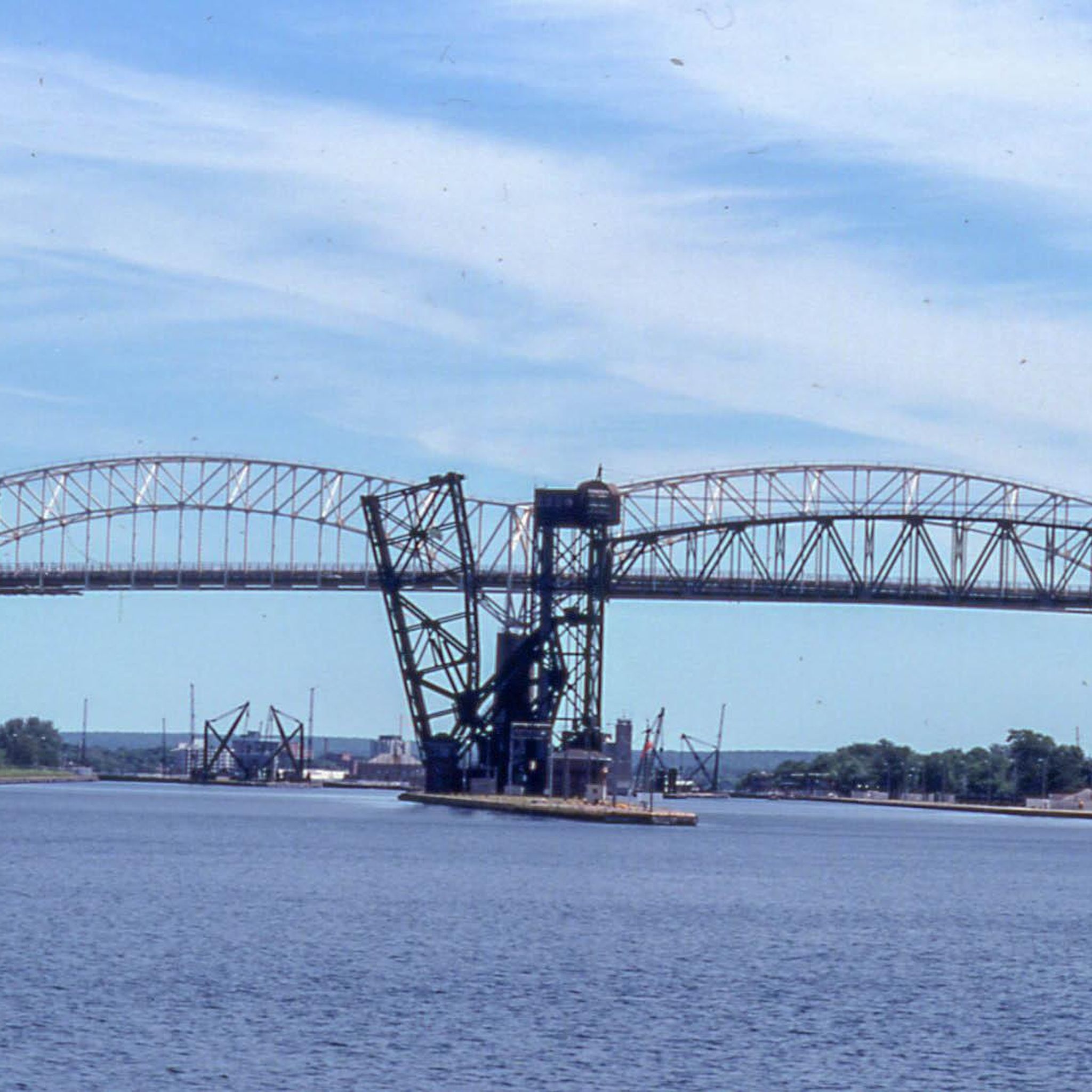
Your way to South St. Mary's Island takes you through one of the lock gates. The Visitor Center is located right next to the lock, where you can find out more about the island and its walking trails.
1
0
Frequently Asked Questions
What types of road cycling routes can I expect in Sault Ste. Marie?
Sault Ste. Marie offers a diverse range of road cycling experiences, from flat, scenic routes along the St. Marys River and Lake Superior to challenging climbs through hilly terrain. You'll find options suitable for various skill levels, including urban multi-purpose trails and longer, more adventurous rides through river valleys and conservation areas.
Are there any easy road cycling routes suitable for beginners or casual rides?
Yes, Sault Ste. Marie has several easy routes. For a relaxed ride with scenic views, consider the Across the lock gates loop from Greyhound station. This 14.4-mile (23.2 km) route is mostly flat and offers views of the St. Marys River and the iconic Soo Locks. Another easy option is the 18-mile East Portage – Riverside – Nicolet – Scenic route, which also follows the St. Marys River.
Where can I find more challenging road cycling routes in the area?
For those seeking a challenge, Sault Ste. Marie offers routes with significant elevation gain. The Root River – Goulais River loop from Greyhound station is a moderate 48.1-mile (77.5 km) path that traverses varied terrain, including river valleys, with substantial climbing. Other challenging areas include Landslide Road leading up to the Hiawatha Highlands, Old Goulais Bay Road, and the Searchmont Highway (Highway 556) which features hilly sections towards Searchmont Ski Resort.
Are there any long-distance road cycling routes available?
Absolutely. For longer rides, the Root River – Goulais River loop from Greyhound station covers 48.1 miles (77.5 km). You could also consider the Searchmont Highway (Highway 556) for a roughly 100km round trip, or a 130km round trip to Bruce Mines via Highway 17 and 638, known for its low traffic and rolling hills. St. Joseph Island also provides a full day of cycling on scenic roads.
What scenic landmarks or natural features can I see while road cycling in Sault Ste. Marie?
The region is rich in natural beauty. Many routes offer stunning views of Lake Superior and the St. Marys River, where you can spot freighters. You can cycle past the iconic Soo Locks, or explore areas like Gros Cap with its rocky beaches and bluffs. The Hiawatha Highlands Conservation Area, while primarily for trails, is a beautiful area with waterfalls and diverse wildlife that some routes might pass near.
Are there any loop road cycling routes in Sault Ste. Marie?
Yes, many routes in Sault Ste. Marie are designed as loops. The Across the lock gates loop from Greyhound station and the Roadbike loop from Korah Collegiate and Vocational School are popular loop options. For a longer loop, the Root River loop from Greyhound station offers a 60.4 km ride through varied landscapes.
What is the best time of year to go road cycling in Sault Ste. Marie?
The best time for road cycling in Sault Ste. Marie is typically from late spring through early autumn. During these months, the weather is generally mild and pleasant, and the natural landscapes are vibrant. Fall offers particularly beautiful scenery with changing leaf colors, especially in areas like Fort Creek Conservation Area.
Are there any family-friendly road cycling options in Sault Ste. Marie?
For families, the John Rowswell Hub Trail is an excellent multi-purpose urban trail, approximately 25 km long, that guides cyclists through downtown Sault Ste. Marie and its green spaces. The Sault Ste. Marie Canal National Historic Site also features newly paved roads and packed gravel trails suitable for all skill levels, making it a great option for a relaxed family ride.
What do other road cyclists enjoy most about cycling in Sault Ste. Marie?
The area is highly rated by the komoot community, with an average score of 5.0 stars. Reviewers often praise the diverse landscapes, from serene river views to challenging hilly sections, and the variety of routes that cater to different abilities. The opportunity to see landmarks like the Soo Locks and enjoy the natural beauty of the Great Lakes region is also frequently highlighted.
Can I expect to see wildlife while road cycling in Sault Ste. Marie?
Yes, the region's natural areas provide opportunities for wildlife spotting. Areas like the Hiawatha Highlands Conservation Area are home to diverse wildlife, including over 70 bird species and 18 mammal species. While cycling through less urbanized routes, especially those near conservation areas or river valleys, you might encounter various local fauna.
Are there any routes that offer views of waterfalls?
While direct road cycling routes to waterfalls might be limited, the Hiawatha Highlands Conservation Area, a natural splendor featuring magnificent scenery and breathtaking waterfalls, is a significant natural attraction in the region. Some challenging road cycling routes, such as Landslide Road, lead up to the Hiawatha Highlands area, allowing for a combined cycling and nature experience.
Most popular routes around Sault Ste. Marie
Most popular attractions around Sault Ste. Marie

Get inspired with the komoot mobile app


Explore more
Browse the best Road cycling routes in other regions.
