The best road cycling routes around Ypsilanti
4.5
(23)
832
riders
32
rides
If you've ever tried to plan road cycling around Ypsilanti, you know how quickly the options can feel overwhelming. With so many paths and trails, it's tough to tell which routes are genuinely worth your time and effort. That's where we come in. Our komoot community has ridden, mapped, and reviewed these routes, so this guide is your curated shortlist of the very best, saving you all the guesswork.
Road cycling around Ypsilanti is all about embracing the varied landscape of rolling hills, dense woodlands, and wetlands, often with picturesque views along the Huron River and Ford Lake. You'll find a great mix of paved, road-separated pathways and on-road segments, offering everything from easy spins to more moderate distances. The Border-to-Border (B2B) Trail is a real highlight here, connecting many of the area's best spots.
For a fantastic longer ride that local road cyclists love, we'd start with the Delhi Bridge – Argo Dam Railway Bridge loop from Rynearson Stadium, a 39.1 miles (63.0 km) route that offers beautiful views along the Huron River. If you're looking for something a bit easier but still incredibly scenic, the Gallup Park – Parker Mill County Park loop from Ypsilanti is a top favorite, an easy 17.7 miles (28.6 km) path winding through local parks. With over 800 road cyclists already exploring Ypsilanti with komoot, you're in good company.
Last updated: June 4, 2026
12
riders
62.9km
02:44
320m
320m
The Delhi Bridge – Argo Dam Railway Bridge loop offers a fantastic road cycling experience, guiding you through Washtenaw County's varied landscapes. You'll pedal past tranquil stretches of the Huron River, through peaceful forests, and across open meadows, with the scenic Argo Cascades near Argo Dam providing a memorable natural landmark. Expect a mix of paved and some unpaved sections, adding a bit of adventure to your ride.
This moderate route covers 39.1 miles (62.9 km) with 1060 feet (323 metres) of elevation gain, typically taking about 2 hours and 43 minutes. Starting from Rynearson Stadium, you'll find yourself on a well-regarded cycling route that's suitable for most fitness levels. It's a great choice if you're looking for a substantial ride without extreme difficulty, offering a rewarding journey through Michigan's natural beauty.
This loop is a prime example of the excellent road cycling routes in the Ann Arbor area, leveraging the extensive Border-to-Border (B2B) trail network. The region is highly rated by cyclists for its integration with natural areas like Delhi Metropark and its commitment to connecting communities through scenic pathways. It's a testament to Washtenaw County's reputation as a top cycling destination in Michigan.
11
riders
Pedal through the heart of Washtenaw County on the Parker Mill County Park – Argo Dam Railway Bridge loop, a moderate road cycling route that promises tranquil river views and lush natural scenery. This 18.9-mile (30.4 km) journey, with a gentle 593 feet (181 metres) of elevation gain, guides you along the Huron River, past the historic Parker Mill County Park, and over the iconic Argo Dam Railway Bridge. Expect a smooth ride on mostly well-paved surfaces, making it a delightful experience that typically takes around 1 hour and 24 minutes.
While the route is named from the George Gervin GameAbove Center, many cyclists find it more convenient to start from locations like the Arbor Hills Nature Area or other points within Ann Arbor. The well-maintained roads ensure an accessible ride for various skill levels. This is a great option for family friendly cycling Ann Arbor, offering a relaxed pace and plenty of scenic spots to pause and enjoy the surroundings.
This loop is a significant segment of the Border-to-Border (B2B) Trail network, connecting you to a broader system of non-motorized pathways throughout Washtenaw County. Parker Mill County Park itself is a treasure, featuring an 1873 grist mill and an 1887 cider mill, offering a unique blend of natural beauty and local history. The Argo Dam Railway Bridge location on the B2B trail provides a picturesque crossing over the Huron River.

Sign up for free
9
riders
28.6km
01:20
160m
160m
Easy road ride. Great for any fitness level. Mostly well-paved surfaces and easy to ride.
8
riders
The Parker Mill County Park – Ford Lake Wetlands Boardwalk loop offers a delightful road cycling experience, covering 19.8 miles (31.9 km) with a moderate difficulty rating. You'll enjoy a journey through wooded environments, past the historic Parker Grist Mill, and along the Huron River, culminating in picturesque views of Ford Lake. The paved multi-use trails are generally smooth and wide, making for a comfortable ride, and the 595 feet (181 metres) of elevation gain is spread out, so it feels relatively flat.
Planning your visit is straightforward, as the route primarily uses accessible paved trails. While the name mentions a boardwalk, remember that direct cycling on wetland boardwalks is restricted; you'll follow paved paths that offer views of these natural areas. This route is family friendly and best enjoyed during pleasant weather, allowing you to fully appreciate the scenic views and historic features.
This loop is a fantastic way to explore the Ypsilanti area, connecting you to the extensive Border-to-Border (B2B) Trail system. It provides a unique blend of natural beauty, with river and lake vistas, and a touch of local history, thanks to the 1873 Parker Grist Mill. The route is ideal for those seeking a relaxed yet engaging ride through diverse landscapes without overly challenging terrain.
5
riders
47.8km
02:21
320m
320m
Moderate road ride. Good fitness required. Some segments of this route may be unpaved and difficult to ride.
Get access to more routes and recommendations from other explorers.
Sign up for free
Already have an account?
Our route recommendations are based on thousands of hikes, rides, and runs completed by other people on komoot.
Start today with a free account
Your next adventure awaits.
Login or Signup
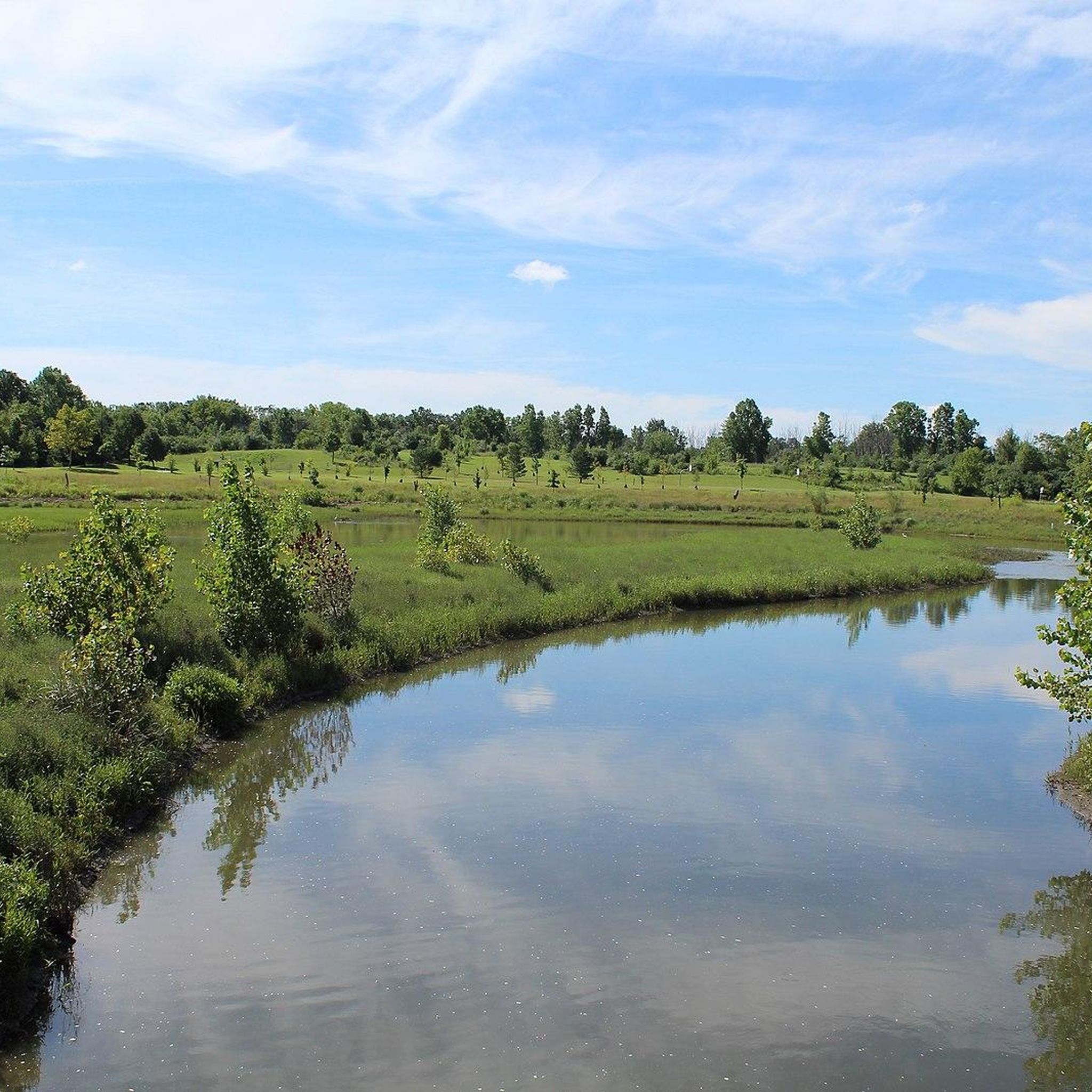

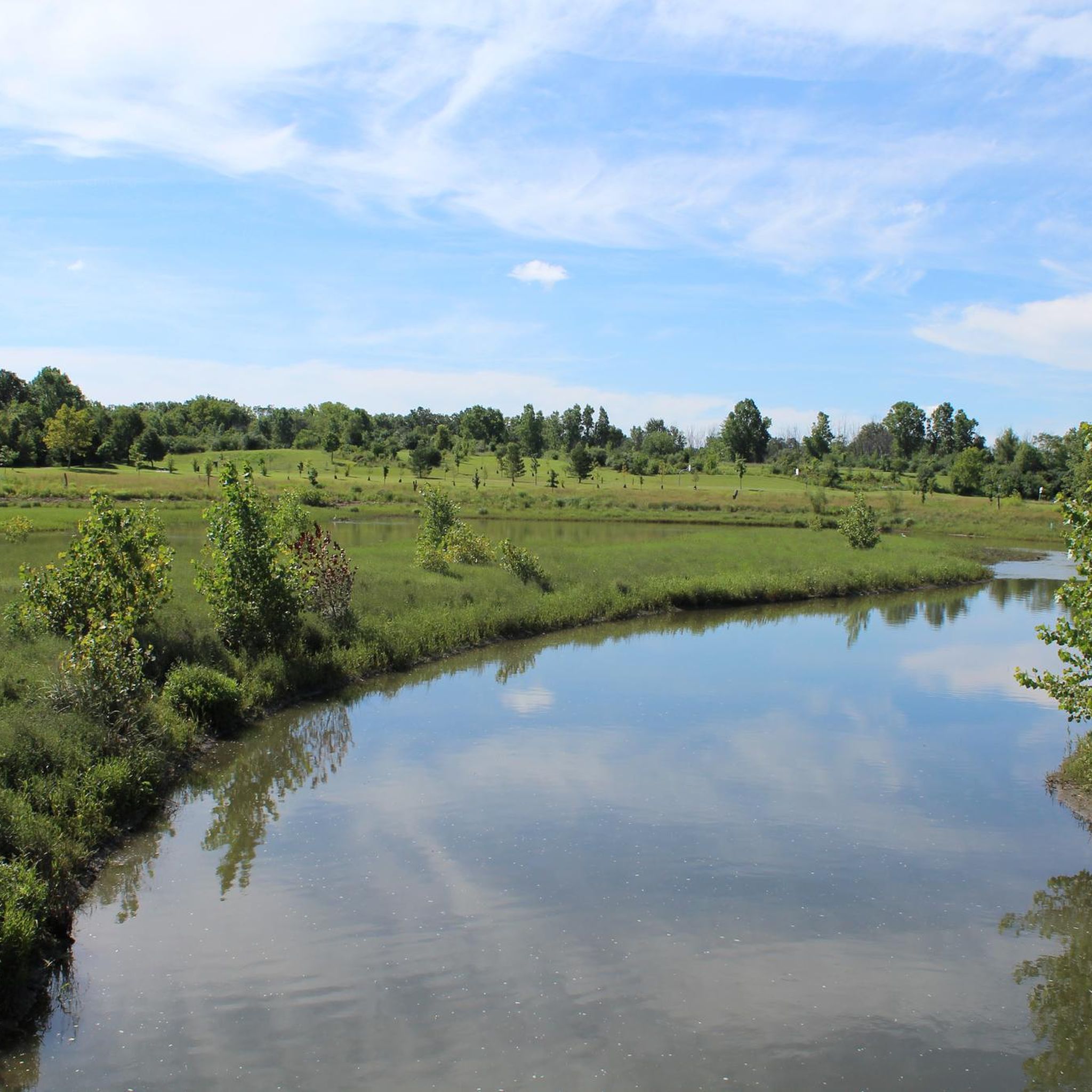
Tips from the Community

New park next to the cascades connected by a big bridge. New construction still underway.
0
0
Nice activity stop on the B2B with a connection to the botanical gardens to the north
1
0
Great area for kayaking and rafting down the cascades and the B2B loop is a nice trail for some relaxing rides by the water
0
0


The Huron River is a 130-mile-long river that flows into Lake Erie. This section that runs through Ann Arbor and several bike trails run along each bank of the river.
0
0
Great park in the middle of the B2B section of Ann Arbor. Playgrounds and pavilions for picnics are plentiful. Large fields for kites and volleyball. Everything is visible from the B2B. Large parking lot nearby, pending the construction in the area.
0
0
Nice pond in the middle of gallup park by the B2B. Fishing is very popular here in the summer.
0
0
The cascades offer a great aquatic experience in the warm months, where you can go down in a kayak, a tube or just as a swimmer. Really great area for hanging out and the B2B goes right alongside. When cycling, watch for people carrying tubes.
0
0
Frequently Asked Questions
How many road cycling routes are available around Ypsilanti?
Ypsilanti offers a wide selection of road cycling routes, with over 30 routes available on komoot. These routes cater to various skill levels, from easy to moderate, ensuring there's something for every cyclist.
What is the typical terrain and elevation like on Ypsilanti's road cycling routes?
The road cycling routes around Ypsilanti are characterized by diverse terrain with gentle elevation changes. Many routes follow the scenic Huron River and Ford Lake, offering mostly paved paths. While there are some moderate climbs, the area is generally accessible for a range of fitness levels.
What natural features or landmarks can I see along Ypsilanti's road cycling routes?
Many routes offer scenic views of the Huron River and Ford Lake. You can also pass through various parks like Riverside Park and Ford Lake Park. For specific points of interest, consider routes that go near Bandemer Park, Gallup Park, or Nichols Arboretum.
What do other road cyclists enjoy most about cycling in Ypsilanti?
The road cycling experience in Ypsilanti is highly rated by the komoot community, with an average score of 4.7 stars from over 25 reviews. Cyclists often praise the well-maintained paved trails, the scenic riverside and lakeside views, and the variety of routes that connect different parks and natural areas.
Are there family-friendly road cycling routes in Ypsilanti?
Yes, Ypsilanti offers several family-friendly road cycling options, particularly along the Border-to-Border (B2B) Trail and the Ford Lake Loop Trail, which are largely non-motorized and paved. Routes like the Gallup Park – Parker Mill County Park loop from Ypsilanti are rated as easy and wind through local parks, making them suitable for families.
Where can I find parking for road cycling routes in Ypsilanti?
Many of Ypsilanti's parks, such as Riverside Park, Ford Lake Park, and those along the Border-to-Border Trail, offer dedicated parking facilities. It's advisable to check the starting point of your chosen route for specific parking information, but generally, public parks are good options.
Are there any long-distance road cycling routes for experienced riders?
For experienced riders looking for longer distances, the Delhi Bridge – Argo Dam Railway Bridge loop from Rynearson Stadium is a popular choice. This route covers approximately 39.1 miles (63.0 km) and offers a moderate challenge with varied scenery along the Huron River.
What is the Border-to-Border (B2B) Trail and how does it relate to road cycling in Ypsilanti?
The Border-to-Border (B2B) Trail is a cornerstone of Ypsilanti's cycling infrastructure. It's a non-motorized pathway system, with over 40 miles completed, connecting various communities and parks throughout Washtenaw County. The Ypsilanti corridor of the B2B Trail spans over 11 miles, providing excellent paved surfaces for road cyclists to explore the city, riverfront, and natural areas. You can learn more about the B2B Trail on Wikipedia.
Are there any road cycling routes that pass by cafes or places to eat?
Many routes in Ypsilanti pass through or near the city center, offering opportunities to stop at local cafes and restaurants. The B2B Trail, for instance, goes through the heart of Ypsilanti, providing easy access to dining options. Consider routes that start or pass through downtown Ypsilanti for convenient access to amenities.
What kind of parks can I explore while road cycling in Ypsilanti?
Ypsilanti and the surrounding area boast numerous parks accessible by road bike. You can cycle through or alongside Riverside Park, Ford Lake Park, Rolling Hills County Park, North Hydro Park, South Hydro Park, and Frog Island Park. These parks often feature their own internal trails and offer scenic breaks.
Are there any specific trails around Ford Lake for road cycling?
Yes, the Ford Lake Loop Trail is a significant paved path extending about 9.5 miles around Ford Lake. Most of this trail is off-road and passes through several parks, including South Hydro Park, North Hydro Park, and North Bay Park, offering beautiful lakeside cycling. The Gazebo at Riverside Park – Ford Lake Wetlands Boardwalk loop from Ypsilanti is a great option that incorporates parts of this scenic area.
Are there options for beginner road cyclists in Ypsilanti?
Beginner road cyclists will find several easy routes in Ypsilanti. The region's extensive paved trail network, including sections of the B2B Trail, provides smooth and relatively flat surfaces. An example is the Spring Street Bridge loop from Ypsilanti, which is an easy 13.3-mile (21.4 km) route with minimal elevation gain.
Most popular attractions around Ypsilanti

Get inspired with the komoot mobile app


Explore more
Browse the best Road cycling routes in other regions.
