The best walks and hikes around Marshfield Hills
4.7
(16)
90
hikers
24
hikes
Hiking around Marshfield Hills offers a diverse landscape characterized by coastal environments, dense forests, tranquil marshes, and significant river systems. The region features a mix of flat trails along rivers and marshes, as well as routes through woodlands and areas with gentle hills. This varied terrain provides a range of experiences for outdoor enthusiasts.
Best hiking trails around Marshfield Hills
- The most popular hiking route is John Little Conservation Area Trail, a 2.1 miles (3.4 km) trail that takes…
Last updated: June 23, 2026
5
hikers
3.42km
00:56
50m
50m
Easy hike. Great for any fitness level. Easily-accessible paths. Suitable for all skill levels.
3.0
(1)
4
hikers
3.96km
01:02
20m
20m
Easy hike. Great for any fitness level. Easily-accessible paths. Suitable for all skill levels.

Sign up for free
1
hikers
4.18km
01:05
20m
20m
Easy hike. Great for any fitness level. Easily-accessible paths. Suitable for all skill levels.
1
hikers
2.24km
00:35
10m
10m
Easy hike. Great for any fitness level. Easily-accessible paths. Suitable for all skill levels.
1
hikers
2.39km
00:37
10m
10m
Easy hike. Great for any fitness level. Easily-accessible paths. Suitable for all skill levels.
Get access to more routes and recommendations from other explorers.
Sign up for free
Already have an account?
Our route recommendations are based on thousands of hikes, rides, and runs completed by other people on komoot.
Start today with a free account
Your next adventure awaits.
Login or Signup
Tips from the Community

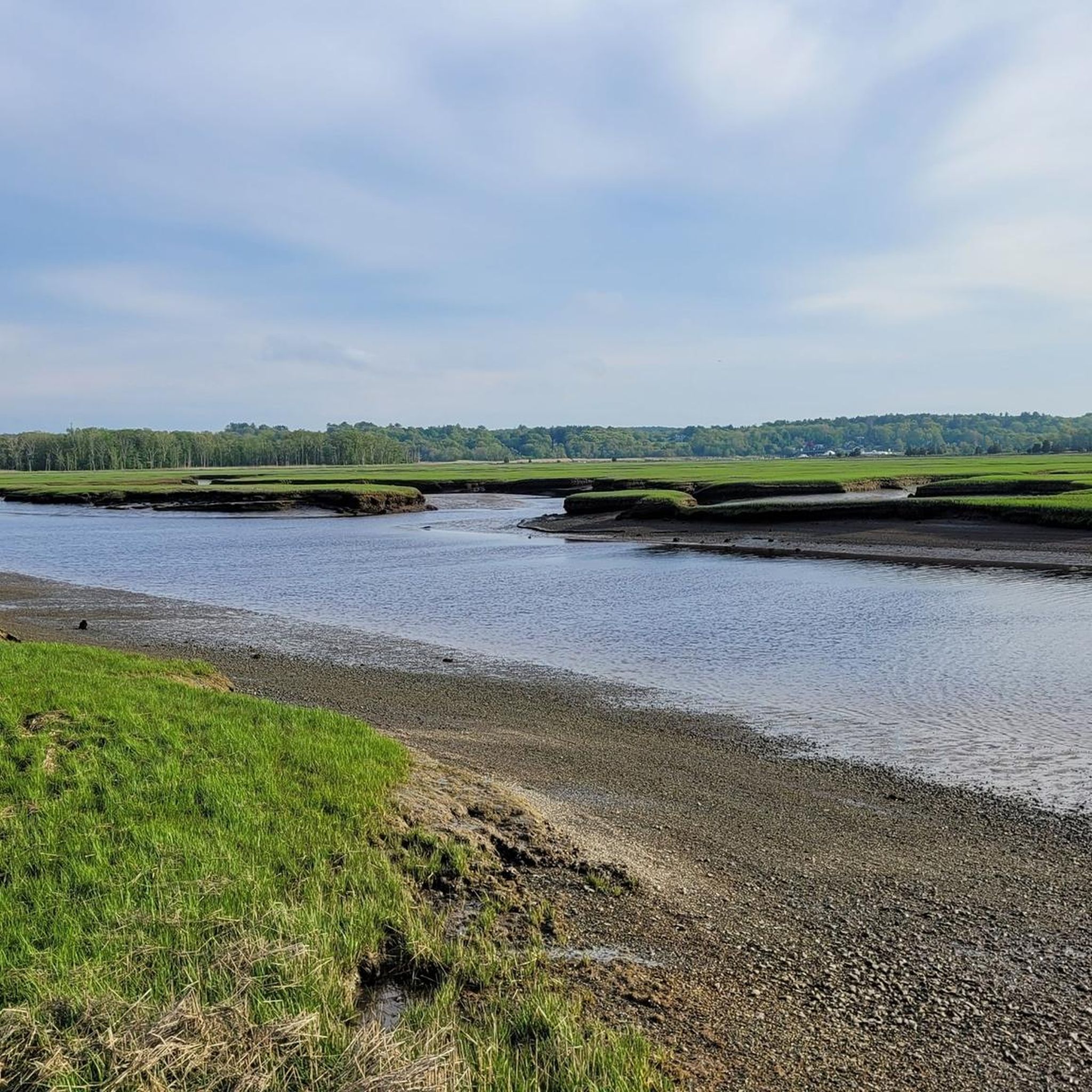
The Herring River has its source in the town of Scituate. The stream flows through the First Herring Brook Reservoir and downstream to the Old Oaken Bucket Pond, passing two dams. The Herring River flows into the North River at The Spit just before it empties into the Atlantic Ocean. https://www.nsrwa.org/listing/herring-river-trail/
2
0
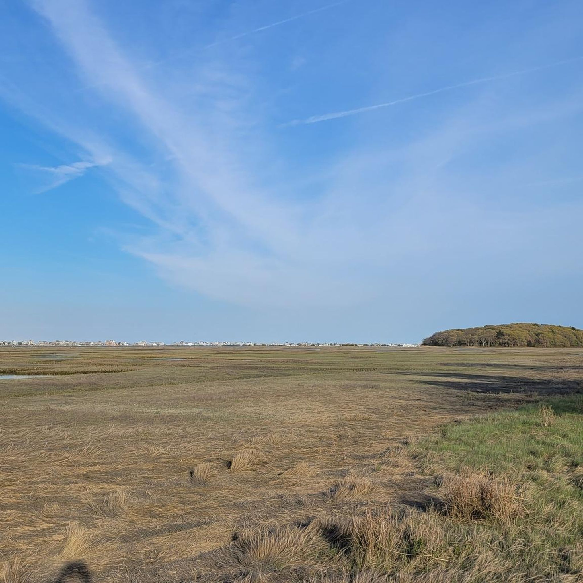
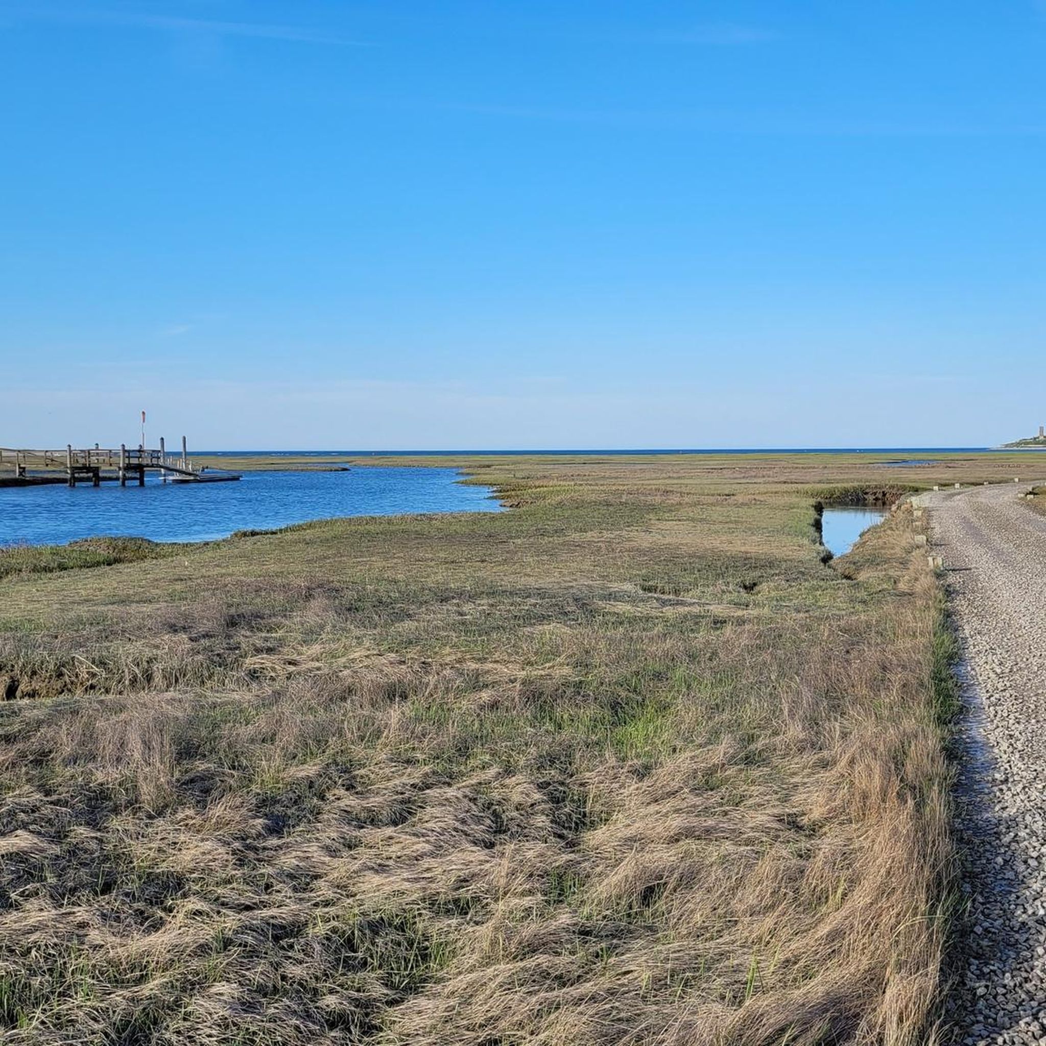
Driftway Conservation Park is a 135-hectare conservation area overlooking the Herring River and its salt marshes. In the 1930s, Boston Sand and Gravel owned the property and mined the 12-meter-high glacial moraines from the last ice age for projects such as the construction of Boston's Logan International Airport. You can still see remnants of the wharf that was built to facilitate the transport of sand by barge to Boston. https://www.nsrwa.org/listing/driftway-conservation-park/
2
0
Frequently Asked Questions
How many hiking trails are available in Marshfield Hills?
Marshfield Hills offers a good selection of hiking opportunities, with over 25 distinct trails recorded in the area. These routes cater to various preferences, from easy strolls to more moderate paths through diverse landscapes.
Are there easy hiking trails suitable for beginners or families in Marshfield Hills?
Yes, Marshfield Hills has many easy trails perfect for beginners and families. For instance, the Nelson Memorial Forest Loop via Philips Farm Preserve is an easy 2.5-mile path winding through a peaceful 130-acre forest. Another great option is the A. J. McEachern Memorial Trail, a 1.5-mile route through wooded areas.
What kind of natural landscapes can I expect to see while hiking in Marshfield Hills?
Marshfield Hills boasts a rich variety of natural landscapes. You'll find dense forests, tranquil marshes, and significant river systems like the North and South Rivers. Many trails offer views of coastal environments, ponds, and even cranberry bogs. Areas like the Hoyt-Hall Preserve feature a mix of ponds, marshes, and young forests, while Cornhill Woods offers rustic trails through mature woodlands.
Are there any circular hiking routes in Marshfield Hills?
Yes, several trails in Marshfield Hills are designed as loops, offering convenient circular walks. The Nelson Memorial Forest Loop via Philips Farm Preserve is a popular easy loop. Other notable loops include the North River Loop, the Indian Head River Trail Loop, and the Daniel Webster Wildlife Sanctuary loop, all providing excellent opportunities for birding and enjoying nature.
Are Marshfield Hills trails dog-friendly?
Many conservation areas and trails in Marshfield Hills are dog-friendly, but it's always best to check specific regulations for each location. For example, while general conservation areas often welcome leashed dogs, wildlife sanctuaries like the Daniel Webster Wildlife Sanctuary or North River Wildlife Sanctuary might have restrictions to protect local wildlife. Always keep your dog on a leash and clean up after them.
What are some interesting landmarks or attractions near the hiking trails?
Beyond the trails, Marshfield Hills offers several points of interest. You can visit the historic Scituate Light for coastal views, or explore the Third Cliff Boardwalk. The Old Pier at Driftway Conservation Park provides scenic river views, and the Aaron River Reservoir is another beautiful spot to visit.
Are there opportunities for birdwatching on the trails?
Marshfield Hills is an excellent destination for birdwatching. The region's extensive marshes, rivers, and woodlands provide crucial habitats for diverse bird species. Trails like the North River Loop, Indian Head River Trail Loop, and the Daniel Webster Wildlife Sanctuary loop are particularly noted for birding opportunities. The North River Wildlife Sanctuary also offers over 2 miles of trails, including boardwalks, ideal for spotting local avian life.
What do other hikers enjoy most about hiking in Marshfield Hills?
The hiking trails in Marshfield Hills are highly regarded by the komoot community, with an average rating of 4.6 stars. Hikers frequently praise the area's diverse scenery, from tranquil river views and expansive marshes to peaceful, well-maintained woodland paths. The variety of easy-to-moderate routes and the opportunities for wildlife spotting, especially birding, are also often highlighted.
Are there any trails with historical significance in Marshfield Hills?
Yes, the Marshfield Bridle Path and Rail Trail is a notable historical route. This trail, once a railroad bed from the 1870s, spans approximately 3.5 miles through woods and farmland, connecting to the Carolina Hill Reservation. It offers a glimpse into the town's past and is open for both hiking and equestrian use.
What are the typical lengths and durations of hikes in Marshfield Hills?
Hikes in Marshfield Hills vary in length, with many popular routes ranging from 1.5 to 3.5 miles. For example, the John Little Conservation Area Trail is about 2.1 miles and takes approximately 55 minutes, while the Nelson Memorial Forest Loop is 2.5 miles. You can find trails suitable for a quick walk or a longer exploration, depending on your preference.
Are there any trails that offer views of the North River?
Absolutely. The North River is a prominent feature of the Marshfield Hills landscape, and several trails offer scenic views. The John Little Conservation Area Trail leads to a pier overlooking the North River. The Two Mile Reservation also features a wide, easy hiking loop with views of the North River and its marshes, connecting to the Jose Carreiro Woods for additional river vistas.
Most popular attractions around Marshfield Hills

Get inspired with the komoot mobile app


Explore more
Browse the best Hikes in other regions.
