The best road cycling routes around Peabody
4.7
(78)
1,398
riders
20
rides
Road cycling around Peabody, Massachusetts, features a network of multi-use trails and access to broader regional cycling infrastructure. The area is characterized by paved paths like the Independence Greenway, connecting urban areas with conservation lands and wetlands. Cyclists can also access stone dust paths linking to extensive regional trail systems, including parts of the Border to Boston Trail. The landscape includes various lakes, ponds, and conservation areas, offering diverse scenery for rides.
Best road cycling routes around Peabody
- The most…
Last updated: June 29, 2026
7
riders
25.7km
01:07
130m
130m
Easy road ride. Great for any fitness level. Mostly well-paved surfaces and easy to ride.
4
riders
Easy road ride. Great for any fitness level. Mostly well-paved surfaces and easy to ride.

Sign up for free
4
riders
46.8km
01:58
230m
230m
Easy road ride. Great for any fitness level. Mostly well-paved surfaces and easy to ride.
3
riders
23.9km
01:11
130m
130m
Easy road ride. Great for any fitness level. Mostly well-paved surfaces and easy to ride.
3
riders
43.7km
01:56
220m
210m
Moderate road ride. Great for any fitness level. Some segments of this route may be unpaved and difficult to ride.
Get access to more routes and recommendations from other explorers.
Sign up for free
Already have an account?
Our route recommendations are based on thousands of hikes, rides, and runs completed by other people on komoot.
Start today with a free account
Your next adventure awaits.
Login or Signup
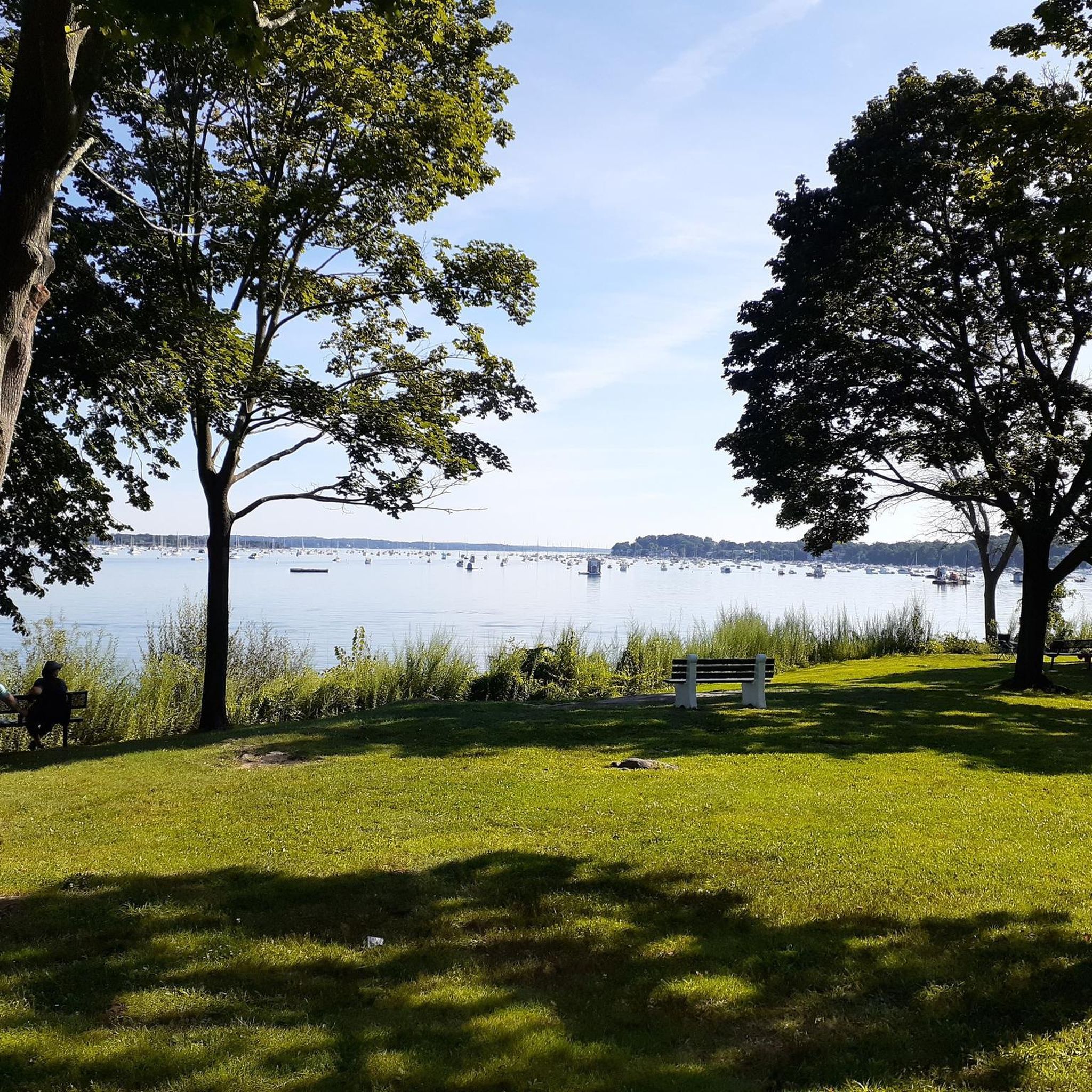
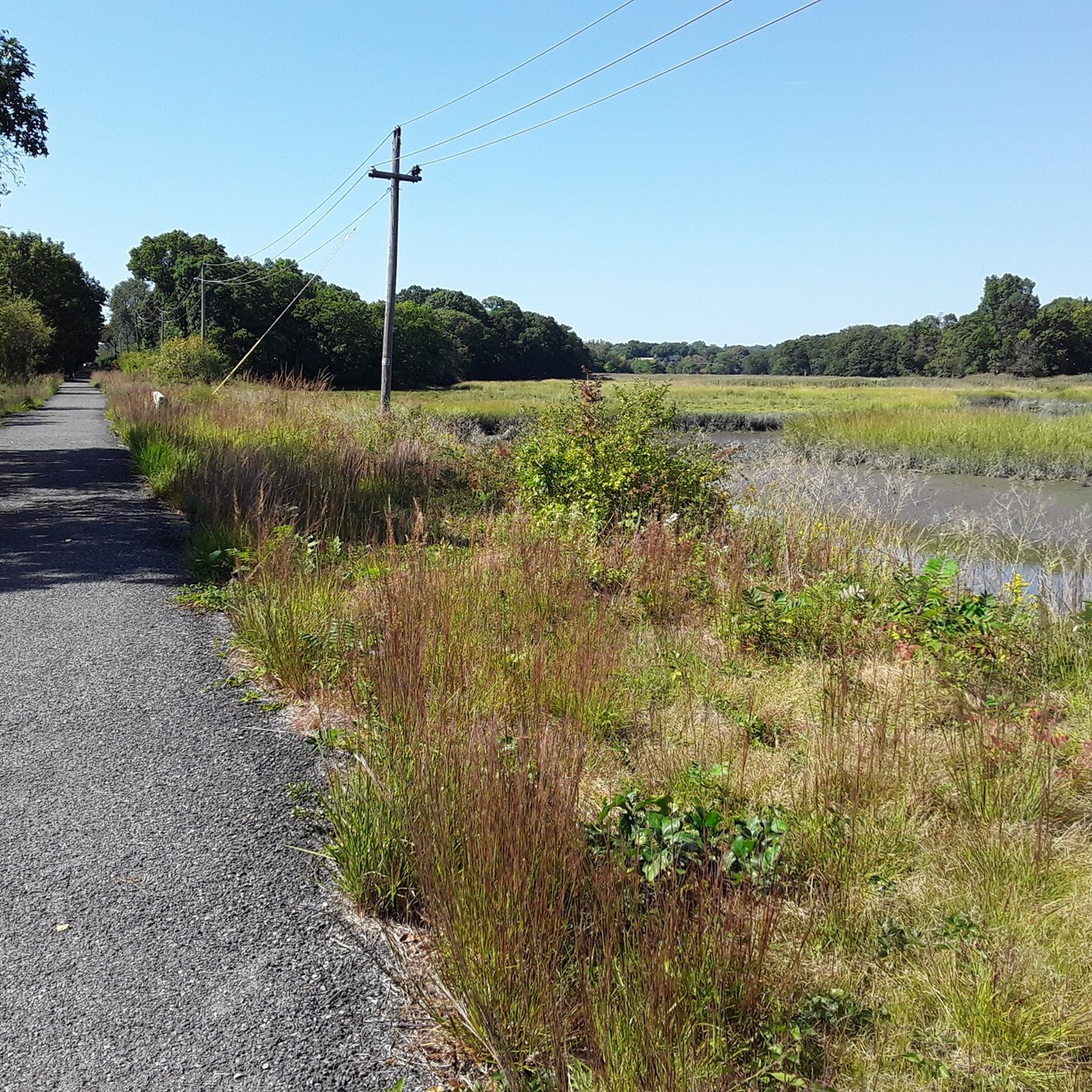
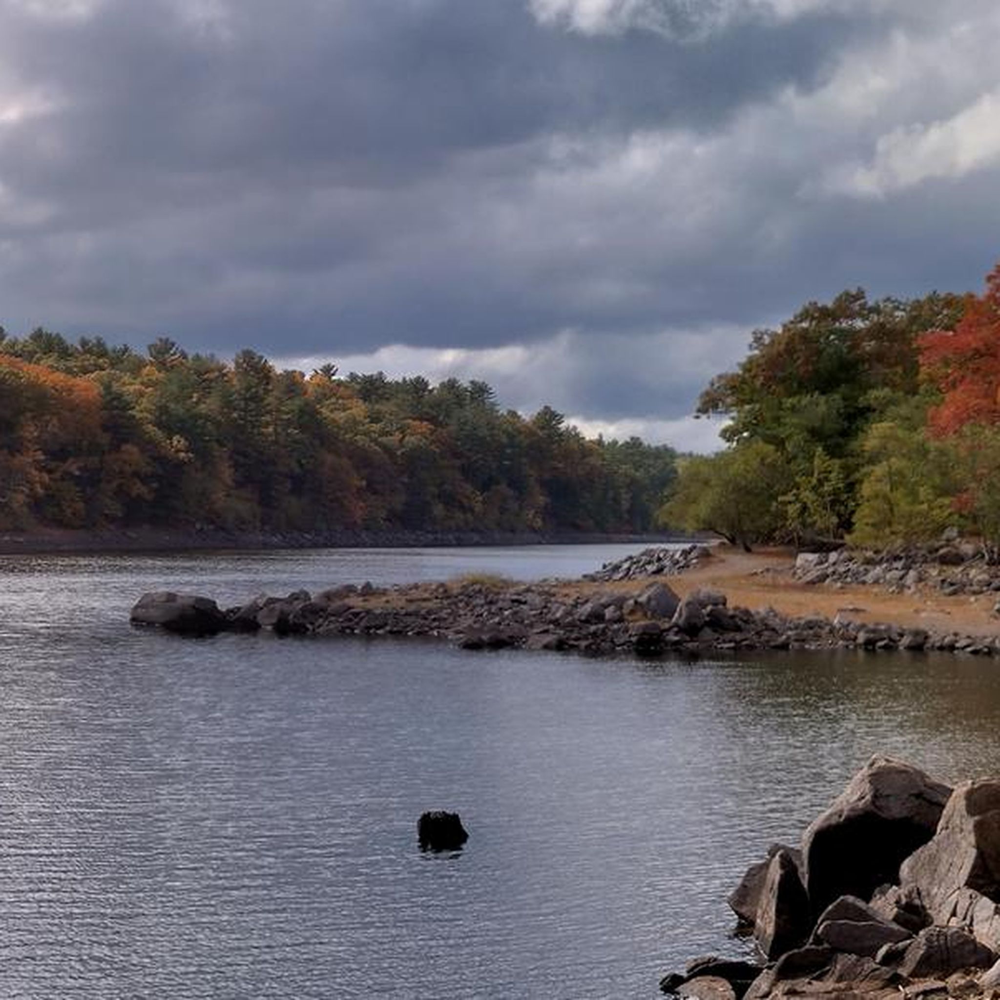
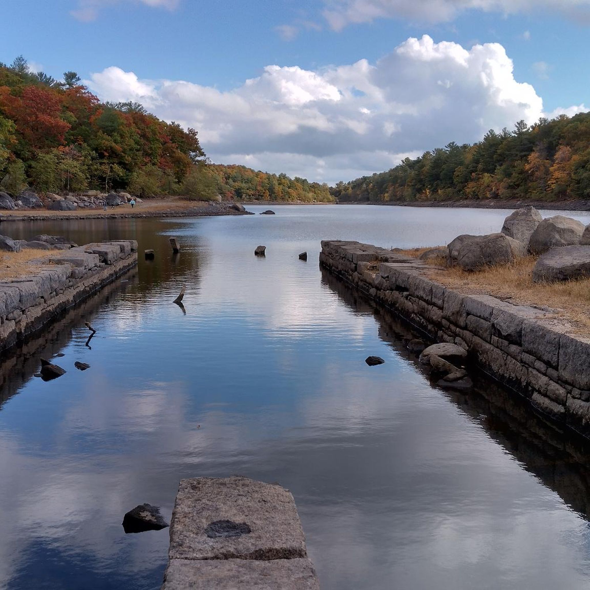

Tips from the Community

When you need a great cup of coffee & a nice treat. Closed on Mondays
0
0

Middleton Pond spans 35 acres and serves as the town's municipal water supply. It is fed by several streams and drains into the Ipswich River. Swimming is not permitted because the water ends up as drinking water.
0
0
Castle Rock Park spans 1.2 acres of coastal landscape and is named after a nearby castle-like private home. From the granite ledges, there are great Atlantic views. This park is a popular spot for photography, storm watching, and observing sailing races. Take the steps on the left side of the rock down to the tide pools.
1
0

Nice surroundings, with grassy areas, ponds and a fountain, can work for a break while riding Endicott Drive.
1
0

Nice town worth a visit
0
0

Located in Lynnfield, Bennett Keenan Conservation Land is a lovely and wild conservation area protecting local land and species.
0
0

This spot is where the Collins Cove Walkway dips right along the water's edge at Collins Cove. The popular multi-use trail provides great views of the cove, where there is a small beach that is perfect for pausing during your walk to soak in the scenery.
0
0
Middleton Rail Trail is a well-maintained and easy-to-follow trail, but here a covered sign with a map was installed with a bench to relax. This could be a great opportunity to take a break, sit down, have a snack, and enjoy this green area.
0
0
Frequently Asked Questions
How many road cycling routes are available in Peabody?
Peabody offers a wide selection of road cycling routes, with over 170 options available on komoot. These routes cater to various skill levels, including more than 85 easy and 90 moderate rides, ensuring there's something for everyone.
What kind of terrain can I expect on road cycling routes in Peabody?
Road cycling in Peabody primarily features multi-use paved trails, such as the Independence Greenway, which stretches over 5 miles. You'll also find connections to stone dust paths like the Kristen Crowley Trail, linking to broader regional networks like the Danvers Rail Trail and the Border to Boston Trail. Routes often pass through conservation areas, wetlands, and offer scenic views of lakes and coastal areas.
Are there routes suitable for beginners or families in Peabody?
Yes, Peabody has numerous easy road cycling routes perfect for beginners and families. For instance, the Roadbike loop from City Open Space is an easy 16.4-mile path offering a straightforward ride. The Independence Greenway is also an excellent choice, providing a safe, paved environment away from vehicular traffic.
What natural features or viewpoints can I see along the road cycling routes?
Many routes offer scenic views of natural features. You can cycle past Crystal Lake Conservation Area, Norris Brook Wetlands, and Hoover Street wetlands along the Independence Greenway. Other routes provide access to lakes like Lake Quannapowitt and coastal scenes along the Marblehead Rail Trail or the Nahant Road Coastal Path and Beach.
Are there any historical landmarks or attractions near the cycling routes?
Yes, Peabody's location provides access to several interesting landmarks. The Marblehead Rail Trail – Salem Witch Trials Memorial loop from Salem takes you through coastal areas and historical sites. You might also encounter unique features like the Stone Tower or the Dungeon Rock, which are points of interest in the wider area.
What do other road cyclists enjoy most about cycling in Peabody?
The road cycling routes in Peabody are highly regarded by the komoot community, boasting an average rating of 4.6 stars from over 80 reviews. Cyclists often praise the well-maintained multi-use trails, the diverse scenery ranging from wetlands to coastal views, and the connectivity to larger regional trail systems like the Border to Boston Trail.
Are there any long-distance or regional connections for road cyclists?
Absolutely. Peabody is strategically integrated into extensive regional trail systems. The Kristen Crowley Trail connects to the Danvers Rail Trail, which is part of the larger Border to Boston Trail, a 70-mile shared-use path designed to connect New Hampshire to Boston. This allows for significantly longer excursions beyond the immediate Peabody area.
Can I find circular road cycling routes in Peabody?
Yes, many road cycling routes in Peabody are designed as loops, offering convenient circular journeys. Examples include the popular Bridge – Putnamville water station loop from Danvers, an 18.5-mile easy route, and the Roadbike loop from City Open Space.
What is the typical duration for road cycling routes in Peabody?
Route durations vary depending on length and difficulty. Easy routes like the Marblehead Rail Trail – Salem Witch Trials Memorial loop from Salem can be completed in about 40 minutes. Longer, moderate rides such as the Historic Downtown Ipswich – View of Pavilion Beach loop from Lynnfield Woodlot, which is 39.5 miles, might take around 2 hours 30 minutes.
Are there options for more challenging road cycling in Peabody?
While Peabody is known for its accessible trails, there are options for more experienced cyclists. The region offers routes with moderate difficulty, such as the Historic Downtown Ipswich – View of Pavilion Beach loop from Lynnfield Woodlot, which covers 39.5 miles with notable elevation changes. For advanced riders, there is at least one difficult route available, providing a greater challenge.
Where can I find parking for road cycling trails in Peabody?
Parking availability varies by trailhead. Many multi-use trails, like the Independence Greenway, have designated parking areas at various access points. It's advisable to check specific route details on komoot for information on parking facilities near your chosen starting point.
What are the best routes for experiencing coastal scenery?
For coastal views, consider routes that incorporate the Marblehead Rail Trail or the Nahant Road Coastal Path and Beach. These paths offer picturesque scenes of the coastline and opportunities for refreshing rides by the water.
Most popular attractions around Peabody

Get inspired with the komoot mobile app


Explore more
Browse the best Road cycling routes in other regions.
