The best road cycling routes around Franklin
4.7
(44)
792
riders
52
rides
Road cycling routes around Franklin offer a diverse landscape of rolling hills and picturesque countryside. The region features a mix of forests and open areas, providing varied terrain for cyclists. Routes often traverse pastoral settings, allowing for rides through natural and agricultural environments. This area provides a compelling backdrop for road cycling experiences.
Best road cycling routes around Franklin
- The most popular road cycling route is Arnold Mills Reservoir from Franklin loop, a 25.5 miles (41.1 km) trail that…
Last updated: July 7, 2026
5.0
(1)
37
riders
41.1km
01:53
270m
270m
Embark on an easy road cycling journey around the Arnold Mills Reservoir from Franklin loop, a route designed for a smooth experience. This 25.5 miles (41.1 km) loop offers a…
70.4km
03:03
430m
430m
Cycle the moderate 43.7-mile Ashland from Franklin via Framingham loop, gaining 1406 feet of elevation in about 3 hours.

Sign up for free
33
riders
47.5km
02:05
330m
330m
Moderate road ride. Good fitness required. Mostly well-paved surfaces and easy to ride.
7
riders
27.1km
01:20
210m
210m
Easy road ride. Great for any fitness level. Mostly well-paved surfaces and easy to ride.
5
riders
48.8km
02:11
320m
320m
Moderate road ride. Good fitness required. Mostly well-paved surfaces and easy to ride.
Get access to more routes and recommendations from other explorers.
Sign up for free
Already have an account?
Our route recommendations are based on thousands of hikes, rides, and runs completed by other people on komoot.
Start today with a free account
Your next adventure awaits.
Login or Signup
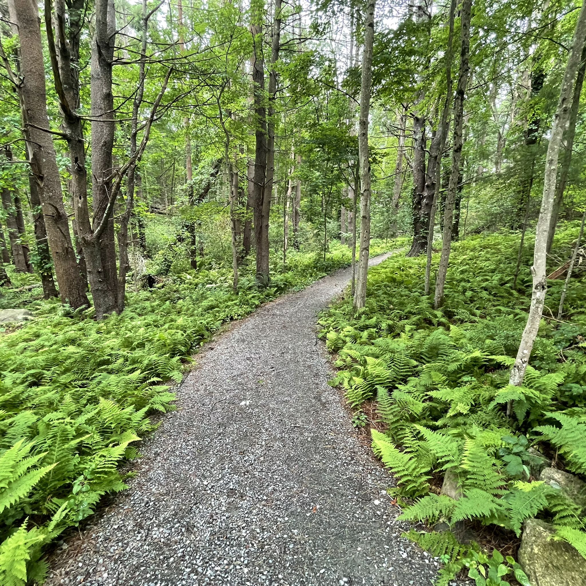

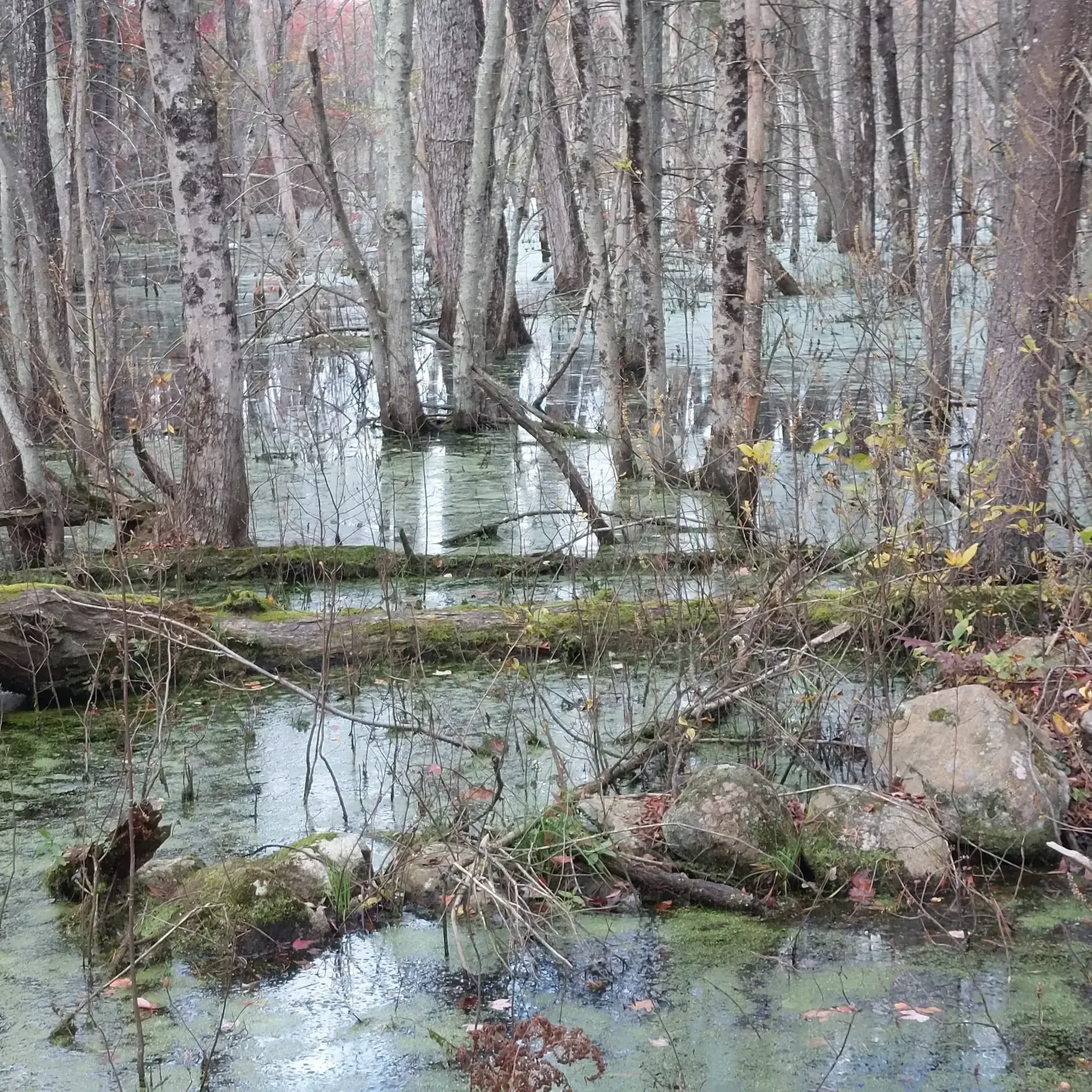

Tips from the Community

A short and totaly nice river for discovering then area.
0
0

The Charles River winds 80 miles through eastern Massachusetts, flowing past many towns before emptying into Boston Harbor. As the you cross this section of bridge on South Main Street, you are treated to a great view of the river.
0
0

Diamond Hill Reservoir, also known as the Pawtucket Upper Reservoir, is located in Cumberland, Rhode Island, near the border with Massachusetts. Constructed in 1971, the earthen dam stands 80 feet high and stretches 2,000 feet across. The reservoir covers approximately 390 acres, and is designated exclusively for drinking water purposes, so recreational activities like fishing, swimming, and boating are prohibited to maintain water quality. Despite these restrictions, the reservoir's scenic surroundings attracts many visitors; the area features rustic farmhouses, original historic stone walls, and woodland paths, making it popular among cyclists, joggers, and walkers who appreciate the picturesque landscape. Wildlife enthusiasts can observe various species, including ducks, swans, geese, blue herons, and occasionally bald eagles.
1
0

A local farm with a small shop and coffee service. The roads around are pretty quiet and the people are nice.
0
0
Diamond Hill Reservation is directly across the road from Diamond Hill Park, a former ski resort turned park. Diamond Hill Reservation is larger than the park and has a large network of hiking and mountain biking trails. Right next to the Diamond Hill Road entrance to the reservation is a popular ice cream spot, which is a great place to stop after a long summer hike.
0
0

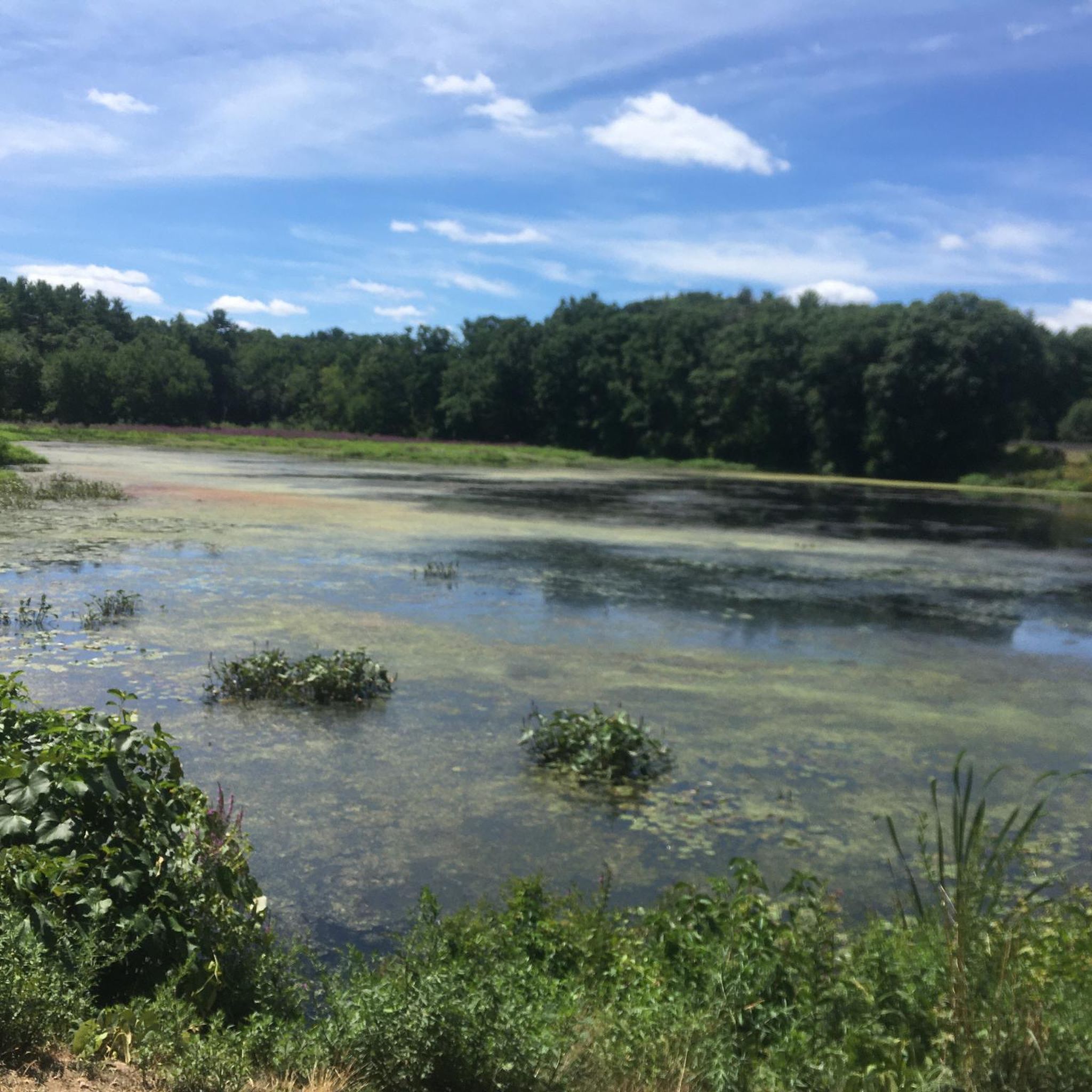
Diamond Hill Reservoir in Massachusetts is a scenic freshwater reservoir surrounded by lush landscapes. Popular for fishing and hiking, it offers a tranquil escape with picturesque views and recreational opportunities.
1
0
Arnold Mills Reservoir is a picturesque freshwater body located in Cumberland. Offering serene views and recreational opportunities, it's a popular spot for fishing, birdwatching, and peaceful outings in nature.
0
0

Drink in the gorgeous views over the Charles River. Pedaling over the bridge, you can see the water in both directions as it meanders towards Town Forest.
0
0
Frequently Asked Questions
How many road cycling routes are available around Franklin?
There are over 50 road cycling routes around Franklin, offering a diverse range of experiences. These include 17 easy routes, 36 moderate routes, and 1 more challenging option, catering to various skill levels.
What kind of terrain can I expect on road cycling routes in Franklin?
Road cycling around Franklin is characterized by rolling hills, open countryside, and picturesque forested sections. You'll find routes winding through pastoral settings, historic barns, and elegant homes, providing a varied and scenic backdrop for your ride.
Are there any easy or beginner-friendly road cycling routes in Franklin?
Yes, Franklin offers several easy routes suitable for beginners or those looking for a more relaxed ride. An excellent option is the Arnold Mills Reservoir from Franklin loop, which is 25.5 miles (41.1 km) with gentle elevation changes. Another easy route is the Arnold Mills Reservoir – Diamond Hill Reservation loop from Franklin/Dean, covering 27.1 km.
Where can I find longer or more challenging road cycling routes?
For longer rides with varied terrain and moderate climbs, consider routes like the Ashland from Franklin via Framingham loop, which is 43.7 miles (70.4 km). Experienced cyclists often favor scenic county roads such as Big East Fork Road, Del Rio Pike, and Carter's Creek Pike for their challenging terrain and views.
What are some scenic highlights or landmarks I can see while cycling?
Many routes offer scenic views of the region's natural beauty, including extensive forests and pastoral countryside. Along the Natchez Trace Parkway, you can see the iconic Double Arch Bridge, standing 155 feet above Birdsong Hollow. Other natural highlights nearby include King Philip's Overlook and the Stony Brook Wildlife Sanctuary. You might also pass by Diamond Hill Reservoir or Arnold Mills Reservoir.
Are there any dedicated cycling trails or park systems in the area?
Yes, the nearby city of Brentwood features an extensive paved trail system with eight interconnected trails, popular for cycling. The Natchez Trace Parkway, a 444-mile scenic road, is also a significant draw, offering an uninterrupted ride free from semi-trucks, stop signs, or traffic lights through Williamson County.
Where can I park my car when starting a road cycling route?
Parking is generally available at various points. Along the Natchez Trace Parkway, there are numerous parking lots to accommodate rides of varying lengths. For routes within the Brentwood Trail System, you'll find convenient parking at locations like the Brentwood Library, recreation centers, and parks.
What do other road cyclists say about the routes in Franklin?
The road cycling routes in Franklin are highly rated by the komoot community, with an average score of 4.3 stars from over 3 reviews. More than 225 road cyclists have used komoot to explore Franklin's varied terrain, often praising the diverse landscapes and well-maintained paths.
Are there any circular road cycling routes in Franklin?
Yes, many of the road cycling routes around Franklin are designed as loops, allowing you to start and end your ride at the same point. Examples include the Arnold Mills Reservoir – Diamond Hill Reservoir loop from Town Forest and the Causeway Street – Tangerini Farm loop from Franklin/Dean.
Can I rent bikes in Franklin?
Yes, visitors can rent electric bicycles from local businesses in Franklin, such as Pedego. Some rental services also offer guided tours of historic Franklin or nearby Leiper's Fork, providing an additional way to explore the area.
What is the best time of year for road biking in Franklin?
Franklin offers enjoyable cycling conditions through much of the year. The spring and fall seasons typically provide pleasant temperatures and beautiful scenery, with changing foliage in autumn. Summer can be warm, but early morning rides are often comfortable. Winters are generally mild, allowing for cycling on many days.
Most popular attractions around Franklin

Get inspired with the komoot mobile app


Explore more
Browse the best Road cycling routes in other regions.
