The best road cycling routes around West Springfield
4.1
(13)
546
riders
89
rides
Road cycling around West Springfield offers diverse routes through a landscape characterized by the Connecticut River, expansive state parks, and developing cycling infrastructure. The region features a mix of flat riverfront paths, rolling terrain through woodlands, and routes connecting urban centers with natural green spaces. Ongoing infrastructure improvements are enhancing dedicated bikeways and street-side facilities, providing varied options for road cyclists.
Best road cycling routes around West Springfield
- The most popular road cycling route is Northampton nature loop – road…
Last updated: June 29, 2026
1
riders
45.8km
02:31
350m
350m
Moderate road ride. Good fitness required. Some segments of this route may be unpaved and difficult to ride.
25.7km
03:11
170m
170m
Moderate road ride. Good fitness required. Some segments of this route may be unpaved and difficult to ride.

Sign up for free
157
riders
95.9km
04:23
760m
760m
Moderate road ride. Good fitness required. Mostly well-paved surfaces and easy to ride.
40
riders
97.8km
04:22
700m
700m
Moderate road ride. Good fitness required. Mostly well-paved surfaces and easy to ride.
6
riders
Moderate road ride. Good fitness required. Mostly well-paved surfaces and easy to ride.
Get access to more routes and recommendations from other explorers.
Sign up for free
Already have an account?
Our route recommendations are based on thousands of hikes, rides, and runs completed by other people on komoot.
Start today with a free account
Your next adventure awaits.
Login or Signup


Tips from the Community

Interestingly, Court Square Park is Springfield's only topographical constant since the city's founding in 1636. The park's location hasn't significantly changed over the centuries, serving as a witness to the city's growth and transformation.
0
0

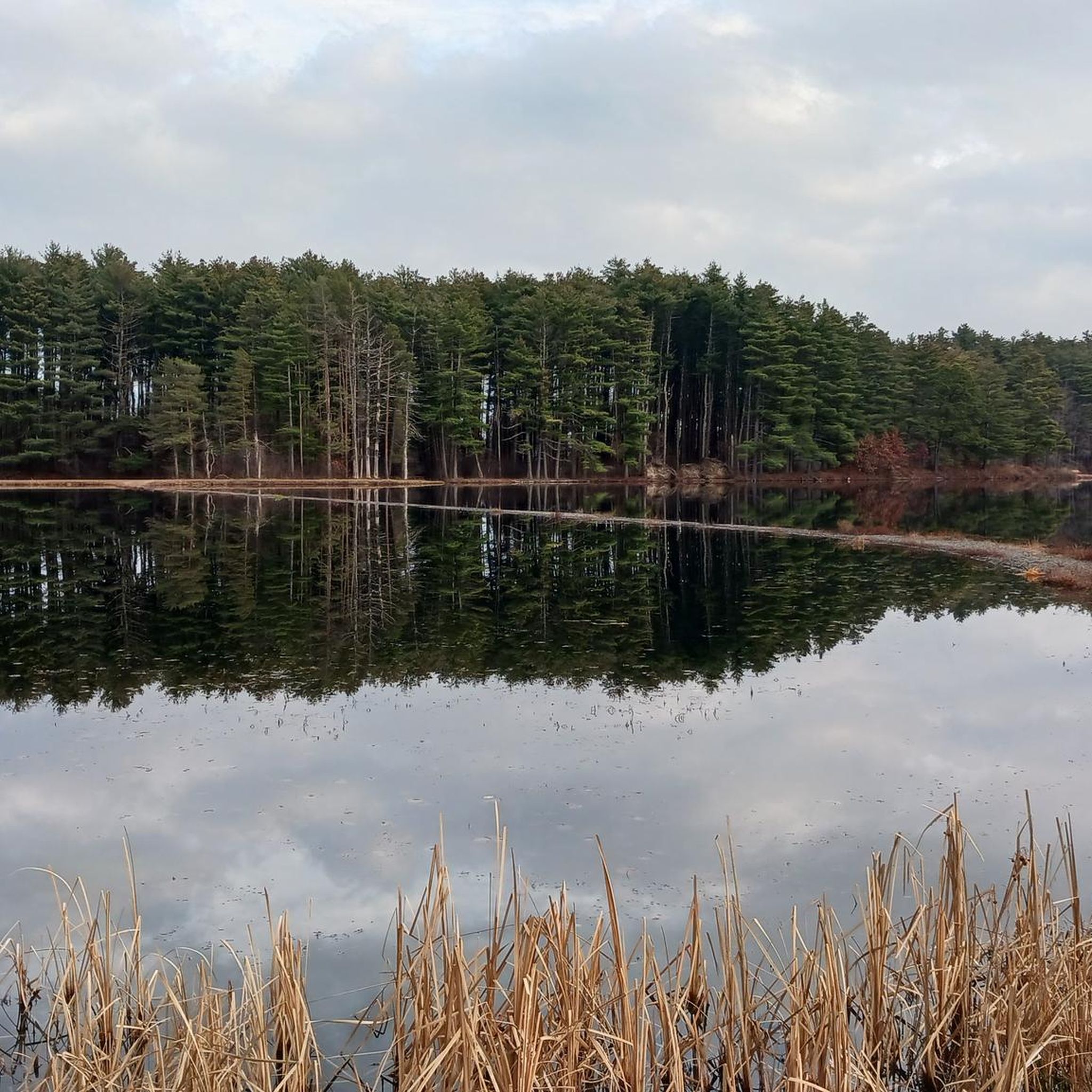
An idyllic marsh dot the landscape where the Still Brooks stream widens to form Hart's Pond. It's just a short walk from the parking lot here. If you want more, come hike here on the New England Trail.
0
0

As you ride across the bridge, take in the beautiful view of the Westfield River. It's a significant river that flows through New England towns, eventually emptying into the Connecticut River. It is stunning especially in the fall.
0
0

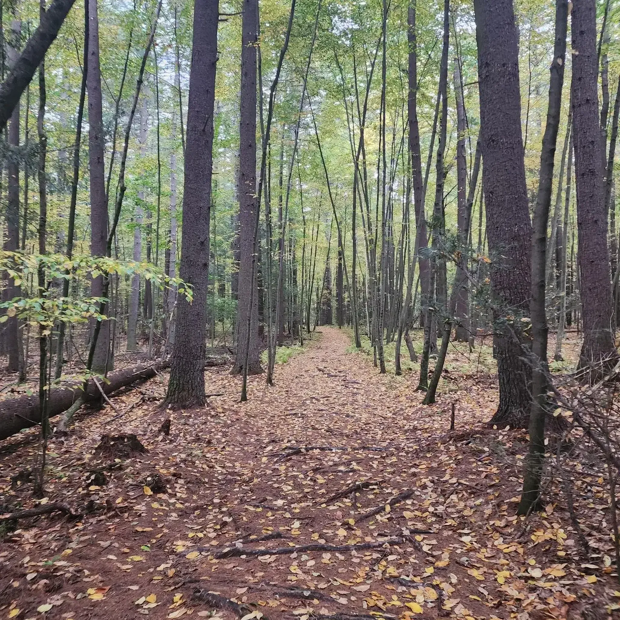
This lake is located within the Mount Tom State Reservation. If you're looking for a brief rest, you can stop at one of its picnic tables while enjoying the views and tranquility of the lake. In the fall, the array of colors from the tree leaves makes it even more beautiful.
1
0

West Suffield Academy Hall is a beautiful old schoolhouse in West Suffield, Connecticut. It's no longer a school, but rather, it is a unique event venue in a charming part of town.
0
0

Departing from Westfield River at the northern part of the namesake town, the trail heads south to connect itself with the Farmington Canal Heritage Trail, which will lead you to the East Coast Greenway after 36 miles. Passing mainly through crop's landscapes, parks and some towns, its different path from the road offers a joyful cycle over the pavement.
0
0

Naismith Memorial Basketball Hall of Fame is a very popular tourist destination in Springfield. The Hall of Fame moved into the current building in 2002 after using several different locations over its 55-year history. For more information on visiting the Hall of Fame, visit: hoophall.com There is pedestrian access via a bridge directly from the Connecticut River Walk and Bikeway.
0
0
The Connecticut River Walk and Bikeway has a 3.7-mile stretch that follows along the Connecticut River. The path gives great views of the river and the Springfield skyline. There are benches at different points for you to sit, take a break, and enjoy the views.
0
0
Frequently Asked Questions
How many road cycling routes are available around West Springfield?
There are over 80 road cycling routes documented on komoot around West Springfield, offering a wide range of options for different skill levels and preferences. You'll find everything from easy loops to more challenging long-distance rides.
What kind of terrain can I expect on road cycling routes in West Springfield?
Road cycling routes in West Springfield feature a diverse terrain. You'll find flat riverfront paths, such as sections of the Connecticut River Walk and Bikeway, alongside rolling hills through woodlands and routes connecting urban areas with natural green spaces. Some routes, like the Court Square Park – Columbia Greenway Rail Trail loop from Springfield Union Station, combine varied urban and natural landscapes.
Are there any easy road cycling routes suitable for beginners or families?
Yes, West Springfield offers several easy road cycling routes. For instance, the Forest Park – Court Square Park loop from Springfield Union Station is an easy 25.4 km ride. Many routes within parks like Robinson State Park and Chicopee Memorial State Park also feature accessible and less challenging sections, perfect for a relaxed ride.
Where can I find scenic viewpoints or natural features along the road cycling routes?
Many routes offer scenic views, particularly those along the Connecticut River or through the region's expansive parks. You can enjoy picturesque settings along the Connecticut River, or explore areas like Ashley Reservoir, which provides beautiful locations for relaxing rides next to the water. Mount Tom, while a short distance away, offers dramatic views of the Connecticut River Valley and is accessible by road.
Are there any long-distance road cycling routes in the area?
For those seeking longer rides, West Springfield has options that extend for significant distances. The Court Square Park loop from Springfield Union Station is a moderate route spanning over 100 km, providing a substantial challenge for experienced cyclists.
What are some notable landmarks or attractions I can see while cycling?
Beyond natural beauty, you can encounter several points of interest. Routes connecting to Springfield might pass near the Naismith Memorial Basketball Hall of Fame. Additionally, the extensive Robinson State Park Forest Trail offers a natural landmark with diverse forest landscapes.
Are there loop road cycling routes available?
Yes, many road cycling routes in West Springfield are designed as loops, allowing you to start and end at the same point. A notable example is the Northampton nature loop – road cycling in MA, which offers a moderate 45.8 km circular ride exploring the natural surroundings north of West Springfield.
What is the best time of year for road cycling in West Springfield?
The spring, summer, and fall months generally offer the best conditions for road cycling in West Springfield. During these seasons, the weather is typically mild, and the natural landscapes are vibrant. Fall, in particular, provides stunning foliage views, especially in areas like Robinson State Park or near Mount Tom.
What do other road cyclists enjoy most about road cycling in West Springfield?
The road cycling experience in West Springfield is highly rated by the komoot community, with an average score of 3.7 stars from over 10 reviews. Cyclists often praise the diverse terrain, from riverfront paths to routes through extensive parks, and the ongoing improvements to cycling infrastructure that make the area increasingly cyclist-friendly.
Are there routes that connect West Springfield to larger parks or natural areas?
Absolutely. Several routes are designed to connect West Springfield with significant natural areas. For example, the Springfield to Robinson State Park – road cycling in MA route directly links the city to the extensive trails and natural features of Robinson State Park, offering a great escape into nature.
What are the options for parking near road cycling routes?
Many parks and trailheads in and around West Springfield offer designated parking areas. For instance, Robinson State Park, Chicopee Memorial State Park, and Mittineague Park all provide facilities for visitors. Additionally, the West Springfield Bikeway and Boat Launch is another facility managed by the town that includes parking.
Are there any cafes or places to stop for refreshments along the routes?
While specific cafes directly on every route may vary, many routes pass through or near urban centers like Springfield or Agawam, where you can find various establishments for refreshments. Planning your route with komoot allows you to identify towns and potential stops along your chosen path.
Most popular routes around West Springfield
Most popular attractions around West Springfield

Get inspired with the komoot mobile app


Explore more
Browse the best Road cycling routes in other regions.
