The best road cycling routes around Savage
4.7
(19)
612
riders
91
rides
Road cycling around Savage, Minnesota, features an extensive network of paved trails and numerous parks, offering diverse terrain for cyclists. The region includes varying elevation gains, connecting urban areas with natural preserves and riverine landscapes. Savage's northern border along the Minnesota River provides scenic views, while areas like Murphy-Hanrehan Park Reserve offer a natural backdrop for rides. The city's commitment to well-maintained facilities ensures accessible routes for different fitness levels.
Best road cycling routes in Savage
- The most popular road…
Last updated: July 2, 2026
5.0
(1)
19
riders
14.4km
00:45
80m
80m
Moderate road ride. Great for any fitness level. Some segments of this route may be unpaved and difficult to ride.
17
riders
Moderate road ride. Great for any fitness level. Some segments of this route may be unpaved and difficult to ride.

Sign up for free
9
riders
39.0km
01:54
390m
390m
The Little Patuxent River – Bollman Truss Bridge loop from North Laurel offers a scenic road cycling adventure, winding through lush hardwood and hemlock forests that give a wild feel…
9
riders
10.4km
00:29
60m
60m
Easy road ride. Great for any fitness level. Mostly well-paved surfaces and easy to ride.
5
riders
59.1km
02:43
410m
410m
Moderate road ride. Good fitness required. Mostly well-paved surfaces and easy to ride.
Get access to more routes and recommendations from other explorers.
Sign up for free
Already have an account?
Our route recommendations are based on thousands of hikes, rides, and runs completed by other people on komoot.
Start today with a free account
Your next adventure awaits.
Login or Signup

Tips from the Community


The Odenton Road Bike Path in Maryland is a 0.9-mile paved trail that serves as a connector between the Washington, Baltimore and Annapolis (WB&A) Trail and the South Shore Trail. This side path runs along Odenton Road from Telegraph Road to Sappington Station Circle, providing a safe and accessible route for cyclists and pedestrians in the area.
0
0

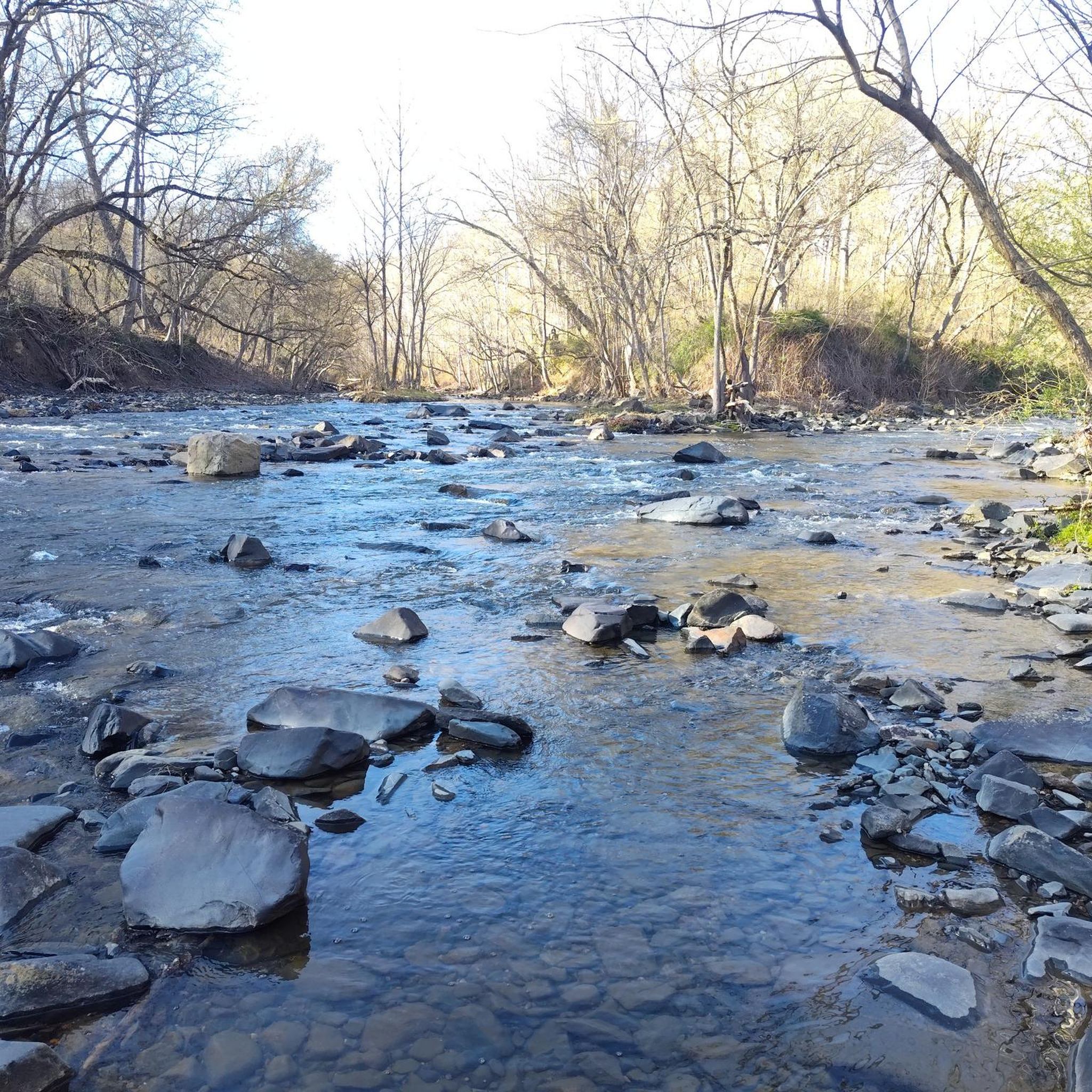
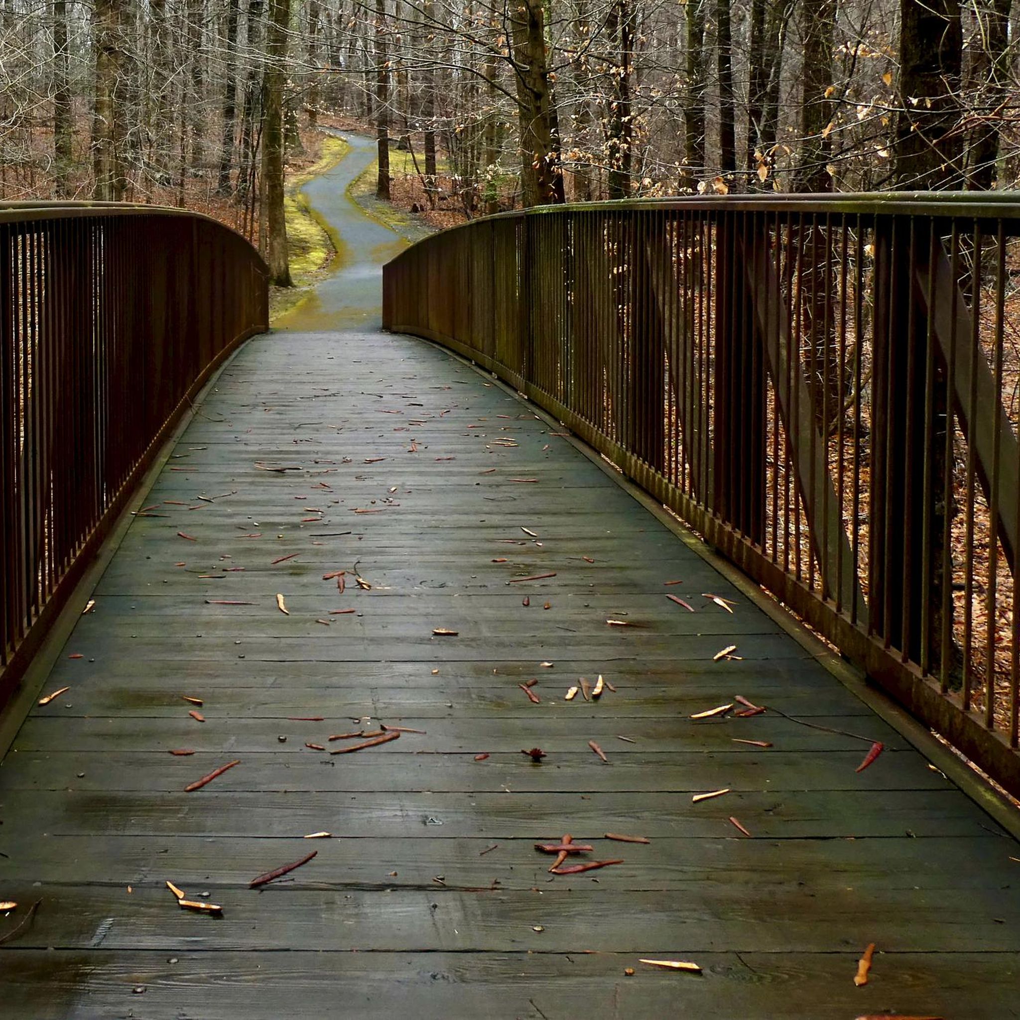
Nice pedestrian bridge over the Little Patuxent River. It is popular with cyclists and walkers, so make sure you look out for other trail users.
0
0
Lake Elkhorn is the third-largest lake in the county. It is surrounded by woodland and has several paved trails that run along the perimeter of the water.
0
0
The Lake Elkhorn loop trail is a paved trail that circles the lake with the same name. It is an easy trail and traffic free, so it is a great place for a recovery ride.
0
0

The BWI Trail offers a great spot to watch planes land at Baltimore/Washington International Thurgood Marshall Airport. This scenic trail provides some shelters and benches to take a break and watch.
0
0
The BWI Trail offers a great spot to watch planes land at Baltimore/Washington International Thurgood Marshall Airport. This scenic trail provides some shelters and benches to take a break and watch.
0
0

From this spot on the BWI Trail you get a truly amazing views over the airport. This multi-use trail is the only trail in the U.S. that encircles an international airport, making it a unique spot for a ride.
0
0
Frequently Asked Questions
How many road cycling routes are available in Savage?
Savage offers nearly 100 road cycling routes, providing a wide variety of options for cyclists. These routes are well-regarded by the komoot community, with an average rating of 4.6 stars.
What are the difficulty levels of road cycling routes in Savage?
The routes in Savage cater to all skill levels. You'll find 29 easy routes perfect for a relaxed ride, 61 moderate routes for a good workout, and 5 challenging routes for experienced cyclists seeking a more demanding adventure.
Are there easy road cycling routes suitable for beginners in Savage?
Yes, Savage has 29 easy road cycling routes, many of which utilize the city's extensive network of paved trails and sidewalks. These routes offer gentle terrain, making them ideal for beginners or those looking for a leisurely ride.
Are there long-distance road cycling routes for advanced riders in Savage?
For advanced riders seeking a challenge, Savage offers several longer routes. One notable option is the Roadbike loop from Laurel, a difficult 66.9-mile (107.7 km) trail that typically takes nearly 5 hours to complete and features significant elevation gain.
What scenic views or natural features can I expect on road cycling routes in Savage?
Road cycling routes in Savage often feature diverse scenery. You can expect views of the Minnesota River, especially along the city's northern border, and routes that pass through or near natural preserves like Murphy-Hanrehan Park Reserve. Many trails also offer glimpses of local parks and ponds, such as McColl Pond in Savage Community Park.
Are there any interesting landmarks or attractions along the road cycling routes?
Yes, several routes offer access to interesting natural and man-made landmarks. For example, the Little Patuxent River – Lake Elkhorn loop from Long Reach provides views of the Little Patuxent River and Lake Elkhorn. Other routes might pass by the Old bridge footing or the Morning Choice Trailhead.
Can I find loop road cycling routes in Savage?
Yes, many road cycling routes in Savage are designed as loops, offering convenient starting and ending points. Examples include the Simpsonville Mill Ruins – Jackson Pond loop from Long Reach and the Lake Elkhorn – Lake Elkhorn loop from Kings Contrivance.
What is the best time of year for road cycling in Savage?
Savage offers enjoyable road cycling for much of the year. Spring and fall provide pleasant temperatures and scenic views, with fall colors being particularly vibrant. While some routes may be accessible in winter, the extensive paved trail network makes cycling comfortable during warmer months.
Are there family-friendly road cycling routes in Savage?
Savage's extensive network of 36 miles of paved trails and 60 miles of sidewalks, combined with numerous parks like Savage Community Park, provides many safe and enjoyable options for family-friendly road cycling. Look for the 'easy' rated routes for the most suitable options.
Where can I find parking for road cycling routes in Savage?
Many of Savage's 24 parks, such as Savage Community Park and Hidden Valley Park, offer parking facilities that provide convenient access to the city's trail network. Additionally, the Minnesota Valley Trail has an entry point off State Highway 101, which typically includes parking.
What do other cyclists enjoy most about road cycling in Savage?
The komoot community highly rates road cycling in Savage, with an average score of 4.6 stars from over 10 reviews. Cyclists often praise the diverse terrain, the extensive network of paved trails, and the scenic views along the Minnesota River and through various parks.
Are there routes that connect to coffee shops or places to stop for refreshments?
While specific routes aren't highlighted for coffee shops, Savage's extensive trail system connects various community facilities and neighborhoods. Many routes pass through or near urban areas where local coffee shops and eateries can be found, such as those connecting to places like Boathouse Brothers Brewing mentioned in regional research.
Most popular attractions around Savage

Get inspired with the komoot mobile app


Explore more
Browse the best Road cycling routes in other regions.
