The best road cycling routes around Gapland
7
riders
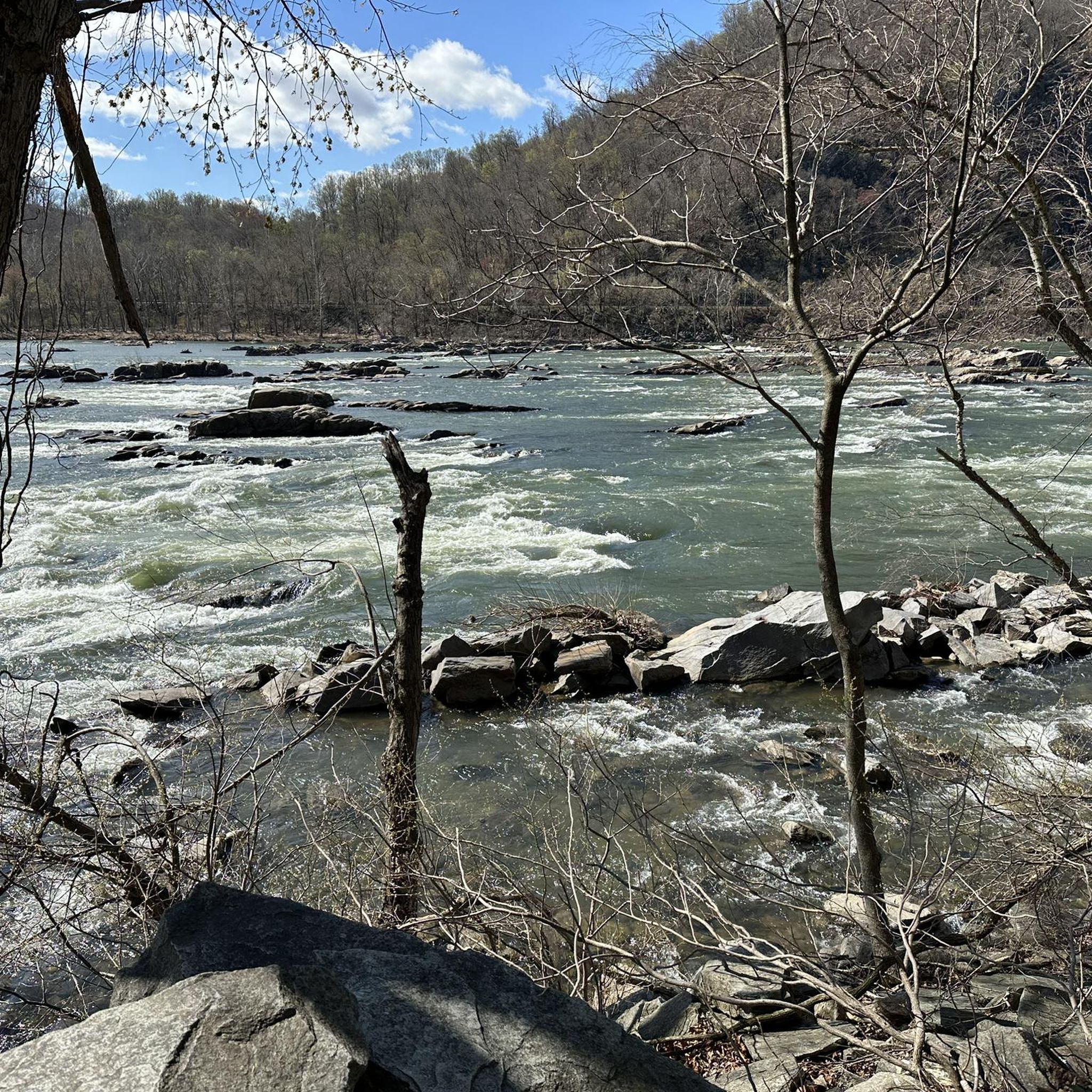
Road cycling around Gapland, Maryland, is characterized by its location on South Mountain, offering diverse elevation changes and scenic views. The region features mountain woodlands, rolling hills, and low-traffic roads, providing varied terrain for cyclists. From various points, cyclists can enjoy views of Elk Ridge and the Potomac River. This area serves as a base for exploring surrounding routes that combine natural beauty with historical landmarks.
Best road cycling routes around Gapland
- The most popular road cycling route is Sharpsburg…
Last updated: June 29, 2026
2
riders
26.5km
01:22
230m
230m
Easy road ride. Great for any fitness level. Mostly well-paved surfaces and easy to ride.
1
riders
40.8km
02:09
710m
710m
Moderate road ride. Good fitness required. Mostly well-paved surfaces and easy to ride.

Sign up for free
1
riders
46.0km
02:18
610m
610m
The Antietam Aqueduct – Gathland State Park loop from Keedysville offers a dynamic road cycling experience, blending the flat, historic C&O Canal Towpath with challenging climbs into the mountain woodlands.…
1
riders
23.0km
01:06
230m
220m
Easy road ride. Great for any fitness level. Mostly well-paved surfaces and easy to ride.
2
riders
38.4km
02:17
740m
740m
Moderate road ride. Good fitness required. Some segments of this route may be unpaved and difficult to ride.
Our route recommendations are based on thousands of hikes, rides, and runs completed by other people on komoot.
Start today with a free account
Your next adventure awaits.
Login or Signup
Popular around Gapland


Tips from the Community

The Antietam Aqueduct was built in 1834 to carry canal boats over Antietam Creek. It is over 140 feet long and is one of many such aqueducts along the C&O Canal.
0
0

The Antietam Aqueduct, located at mile 69.4 of the C&O Canal Towpath, is a three-arch stone aqueduct that once carried the canal over Antietam Creek. Built in 1834, it is constructed from limestone quarried nearby and remains one of the best-preserved aqueducts along the canal. During the Civil War, it was near the site of Confederate troop movements before and after the Battle of Antietam in 1862. Though it suffered some damage over the years, it has been fully restored and now serves as a scenic and historic stop along the towpath, offering great river views and picnic spots.
0
0

The Antietam National Battlefield remembers the Battle of Antietam in the American Civil War on September 17th 1862. There is an audio tour and hiking through the battle ground you get a really good sense of what the soldiers experienced over 150 years ago.
0
0

Gathland State Park provides water, restrooms, and a picnic shelter, making it a good place to rest. There are also several historical buildings and ruins.
1
0
The National War Correspondents Memorial (sometimes referred to as the War Correspondents Memorial Arch) was built in 1896 by George Townsend, a Civil War journalist, to commemorate those who died covering war and conflict. The monument is an amalgamation of symbolic architecture, sculpture, and engraving. It is maintained by the National Park Service in connection with Antietam National Battlefield.
0
0

The peaceful Appalachian foothills and fields here are far removed from their bloody history. The Antietam National Battlefield commemorates a Civil War battle in 1862. You can explore the beautiful area around the Potomac River on a network of paths. There's a visitor centre, field hospital museum, national military cemetery and Burneside's Bridge.
0
0
Sharpsburg, is a small town steeped in history. You can visit the Antietam National Battlefield, wander through the historic town centre and stop for an ice cream. It's a great place to stop for refreshments on a bike ride.
0
0
Frequently Asked Questions
What kind of terrain can I expect when road cycling around Gapland?
Road cycling around Gapland, situated on South Mountain, offers a diverse range of terrain. You'll encounter mountain woodlands, rolling hills, and some rugged sections, providing a mix of moderate and challenging experiences. Many routes feature significant elevation changes, while others offer gentler gradients.
Are there scenic viewpoints or historical landmarks along the road cycling routes?
Yes, the region is rich in both scenic views and historical landmarks. From various points, you can enjoy views of Elk Ridge and the Potomac River. Many routes, such as the Sharpsburg – Antietam National Battlefield loop from Sharpsburg, pass through significant historical sites like the Antietam National Battlefield. You can also explore the National War Correspondents Memorial Arch and Gathland State Park, which are prominent attractions in the area.
Where can I park my car when cycling in Gapland?
While specific parking details for every route vary, Gapland's location makes it a convenient base. Gathland State Park, a central point in the area, typically offers parking facilities. For routes starting in nearby towns like Sharpsburg or Keedysville, you can often find public parking options. It's advisable to check specific starting points for detailed parking information.
What is the best time of year for road cycling in Gapland?
The region is generally best enjoyed during spring, summer, and fall. These seasons offer pleasant temperatures and vibrant scenery, from spring blooms to autumn foliage. While winter cycling is possible, be prepared for colder temperatures and potential icy conditions, especially on higher elevations or shaded roads.
Are there family-friendly road cycling routes in the Gapland area?
While many road cycling routes in the immediate Gapland area involve rolling hills and elevation changes, sections of the nearby C&O Canal Towpath offer a mostly flat, car-free experience. This path can be a great option for families, though it is unpaved in sections. For paved road routes, look for those described as 'easy' with lower elevation gains.
Are there places to stop for refreshments or food along the routes?
The Gapland area and surrounding towns like Sharpsburg and Keedysville offer various options for refreshments. While specific cafes directly on every route might be limited, these towns provide opportunities to refuel. Planning your route to pass through these communities will ensure access to food and drink.
Are there circular road cycling routes available around Gapland?
Yes, many of the road cycling routes in the Gapland area are designed as loops, allowing you to start and end at the same point. Examples include the Sharpsburg – Antietam National Battlefield loop from Sharpsburg and the Antietam Aqueduct – Gathland State Park loop from Keedysville, which offer convenient circular journeys.
What are some easy road cycling routes for beginners near Gapland?
For beginners, the Sharpsburg – Antietam National Battlefield loop from Sharpsburg is an excellent choice. It's classified as an easy route, covering about 16.4 miles (26.5 km) with moderate elevation gain, making it accessible for those new to road cycling while still offering scenic views and historical context.
Where can I find more challenging road cycling routes around Gapland?
For a more challenging experience, consider routes that incorporate significant elevation gains over South Mountain. The Sharpsburg – Antietam National Battlefield loop from Bolivar Heights is a moderate route with substantial climbing, offering a good test for experienced cyclists. The region's 'sleepy roads around South Mountain' are known for their varied terrain and can provide demanding rides.
Can I access road cycling routes in Gapland using public transport?
Public transport options directly to the starting points of many road cycling routes in the rural Gapland area may be limited. It's generally recommended to arrive by car or to plan your route from a larger nearby town with more public transport connections, such as Brunswick, which has train service and offers access to regional cycling routes.
What historical sites or natural attractions can I explore near the cycling routes?
Beyond the cycling, the area offers rich historical and natural attractions. You can visit the Gathland State Park, home to the War Correspondents Memorial Arch. The Chesapeake and Ohio Canal Trail is also nearby, offering a different kind of outdoor experience. The Maryland Heights Stone Fort is another significant historical site worth exploring.
How many road cycling routes are available around Gapland?
There are over 5 road cycling routes available around Gapland, offering a variety of distances and difficulties to suit different preferences and fitness levels.
Most popular routes around Gapland
Most popular attractions around Gapland

Get inspired with the komoot mobile app


Explore more
Browse the best Road cycling routes in other regions.
