The best road cycling routes around Fort Ritchie
71
riders
13
rides
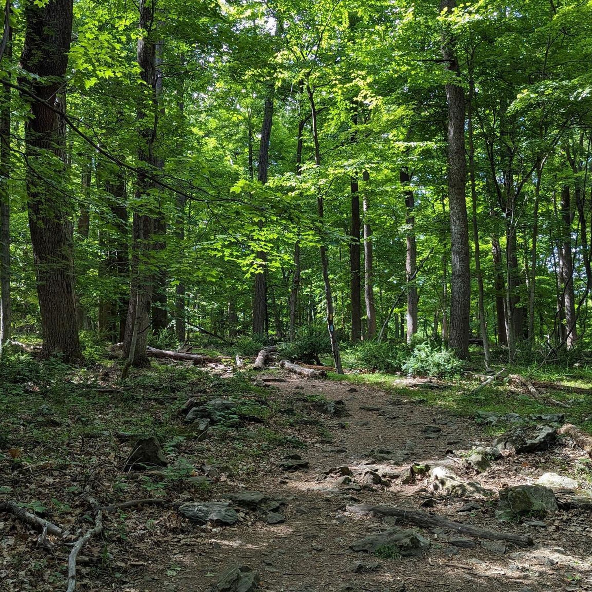
Road cycling around Fort Ritchie offers routes through a high valley within the Blue Ridge Mountains, featuring elevations up to nearly 1,400 feet and surrounded by peaks over 2,000 feet. The region is characterized by a rural community with open spaces, forest cover, and two scenic lakes. This mountainous setting provides varied topography, including significant elevation gains, suitable for challenging road cycling. Adjacent natural assets like South Mountain State Park and the Appalachian Trail further define the area's landscape.
Best…
Last updated: July 10, 2026
2
riders
60.6km
03:06
920m
920m
Hard road ride. Very good fitness required. Mostly well-paved surfaces and easy to ride.
14
riders
136km
07:05
1,960m
1,960m
Hard road ride. Very good fitness required. Mostly well-paved surfaces and easy to ride.

Sign up for free
15
riders
90.1km
04:28
1,230m
1,230m
Hard road ride. Very good fitness required. Mostly well-paved surfaces and easy to ride.
9
riders
128km
06:36
1,750m
1,750m
Hard road ride. Very good fitness required. Mostly well-paved surfaces and easy to ride.
3
riders
47.0km
02:31
900m
900m
Hard road ride. Very good fitness required. Mostly well-paved surfaces and easy to ride.
Get access to more routes and recommendations from other explorers.
Sign up for free
Already have an account?
Our route recommendations are based on thousands of hikes, rides, and runs completed by other people on komoot.
Start today with a free account
Your next adventure awaits.
Login or Signup
Popular around Fort Ritchie

Tips from the Community

High Rock is a park and overlook about an hour and a half outside of Baltimore and just off of the Appalachian Trail. There is a large graffitied rock (and surrounding rocks) with a great vantage point on the surrounding foothills. If you have the time, fill up a bag of trash because this local spot could use some love.
0
0

Sachs Covered Bridge in Gettysburg, Pennsylvania, dates back to 1854 and served as a vital crossing during the Civil War. Covered to shield it from the elements, the bridge played a strategic role during the Battle of Gettysburg, offering Union troops a protected passage. It stands today as a historic and architectural treasure.
0
0
Cycling along Millerstown Road in Gettysburg reveals captivating views of the historic battlefield. The scenic route features open fields and wooded areas, providing a glimpse into the iconic landscape where Civil War battles unfolded. Wildlife sightings may include deer and various bird species, enhancing the cycling experience with natural beauty.
0
0

Hamburg Road passes through the Frederick Municipal Forest in Frederick, Maryland. This scenic winding road is a great place to ride through the dense woods all seasons, but is especially nice in the fall when the leaves change from green to vibrant hues of yellow, orange, and red.
0
0

Catoctin Mountain Park is a 5,120-acre national park that is also home to the Presidential retreat, Camp David. The park, with its scenic vistas of the Blue Ridge Mountains, offers 25 miles of hiking trails, fishing streams, camping, and horseback riding.
0
0

There are a number of pedestrian footbridges that reach over the Carroll Creek in Frederick, but this is a particularly pretty one. The stone bridge is covered in carvings and lovely detail. The community were part of the design of it and thousands gave their artistic suggestions.
1
0
The Monocacy River is a free-flowing tributary of the Potomac River. It spans 58 miles and is the largest Maryland tributary to the Potomac. The river was designated as a State Scenic River in 1974.
0
0
The Utica Mills Covered Bridge was built in 1850 to span the Monocacy River. However, the bridge was washed away during a severe storm. The locals gathered the remains and reconstructed it over Fishing Creek, its correct location.
0
0
Frequently Asked Questions
How many road cycling routes are available around Fort Ritchie?
There are 17 road cycling routes available around Fort Ritchie. These routes primarily feature mountainous terrain, scenic valleys, and forested areas, offering a diverse cycling experience.
What is the typical terrain and difficulty for road cycling in Fort Ritchie?
Road cycling around Fort Ritchie is characterized by mountainous terrain within the Blue Ridge Mountains, with elevations reaching nearly 1,400 feet and surrounded by peaks over 2,000 feet. This means routes often include significant elevation gains, making them challenging. Out of the 17 routes, 2 are moderate and 15 are difficult, catering to cyclists looking for a demanding ride.
When is the best time of year for road cycling in Fort Ritchie?
The region's forest cover makes it especially vibrant during the fall foliage season, offering picturesque rides. While specific weather conditions vary, the mountainous setting provides a beautiful backdrop for cycling through much of the year, with spring and fall generally offering the most pleasant temperatures.
Are there any loop road cycling routes around Fort Ritchie?
Yes, many of the road cycling routes around Fort Ritchie are loops, allowing you to start and end at the same point. Examples include the challenging Emmitsburg Watershed loop, the Antietam National Battlefield – Catoctin Mountain Park loop from Joe Brooks Lot, and the Little Round Top – Roddy Road Covered Bridge loop from Thurmont.
What kind of landmarks or scenic viewpoints can I expect along the road cycling routes?
The routes often pass through areas with stunning natural features and historical significance. You can expect panoramic views from locations like View from Chimney Rock and High Rock Overlook. Natural formations such as Wolf Rock are also nearby. Some routes, like the Antietam National Battlefield – Catoctin Mountain Park loop from Joe Brooks Lot, connect historic battlefields with natural parks.
Are there any waterfalls or natural monuments to see near the cycling routes?
Yes, Cunningham Falls is a popular nearby spot, especially after rainy seasons. Other natural monuments in the wider area include Wolf Rock and Cat Rock, offering interesting geological sights.
Are there any beginner-friendly road cycling routes around Fort Ritchie?
The road cycling routes around Fort Ritchie are predominantly challenging due to the mountainous terrain. While there are 2 moderate routes, the majority (15 out of 17) are classified as difficult, featuring significant elevation gains. Beginners might find these routes demanding, but the moderate options could be a good starting point.
What are some of the longer, more challenging road cycling routes available?
For experienced cyclists seeking a challenge, routes like the Little Round Top – Roddy Road Covered Bridge loop from Thurmont covers 85.7 miles with nearly 2000m of elevation gain. Another demanding option is the Culler Lake – Loys Station Covered Bridge loop from Woodsboro, which spans 128 miles with over 1700m of climbing.
Are there routes that feature covered bridges?
Yes, the region is known for its picturesque covered bridges. Routes such as the Roddy Road Covered Bridge – Utica Covered Bridge loop from Woodsboro offer challenging rides through the countryside, specifically highlighting these historic structures.
What kind of natural features define the Fort Ritchie cycling experience?
The Fort Ritchie area is nestled in a high valley within the Blue Ridge Mountains, providing a unique blend of challenging climbs and scenic descents. Cyclists will encounter ample open space, dense forest cover, and two man-made lakes, including Lake Royer, which add to the natural beauty of the landscape.
What is the longest road cycling route in the area?
The longest route listed is the Culler Lake – Loys Station Covered Bridge loop from Woodsboro, which spans approximately 128 kilometers (nearly 80 miles) and involves significant elevation gain.
Most popular routes around Fort Ritchie
Most popular attractions around Fort Ritchie

Get inspired with the komoot mobile app


Explore more
Browse the best Road cycling routes in other regions.
