The best walks and hikes around Drogen
4.6
(1955)
5,858
hikers
331
hikes
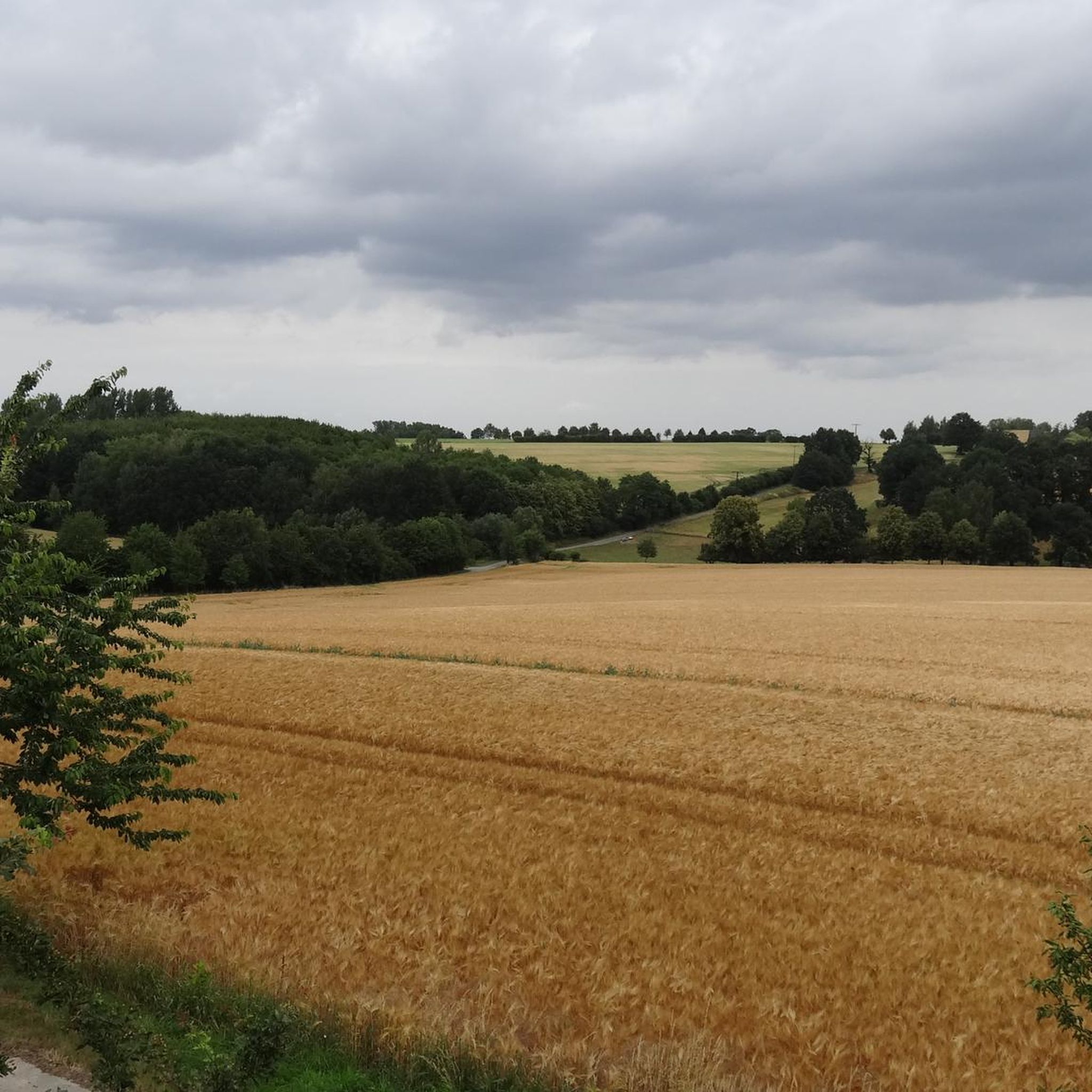
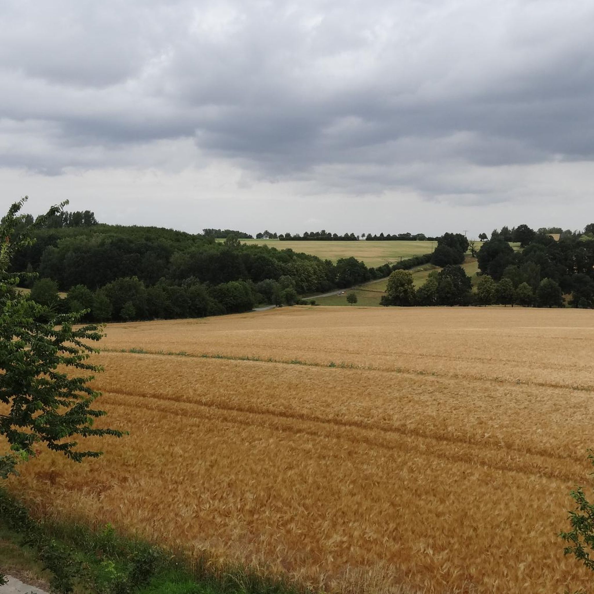
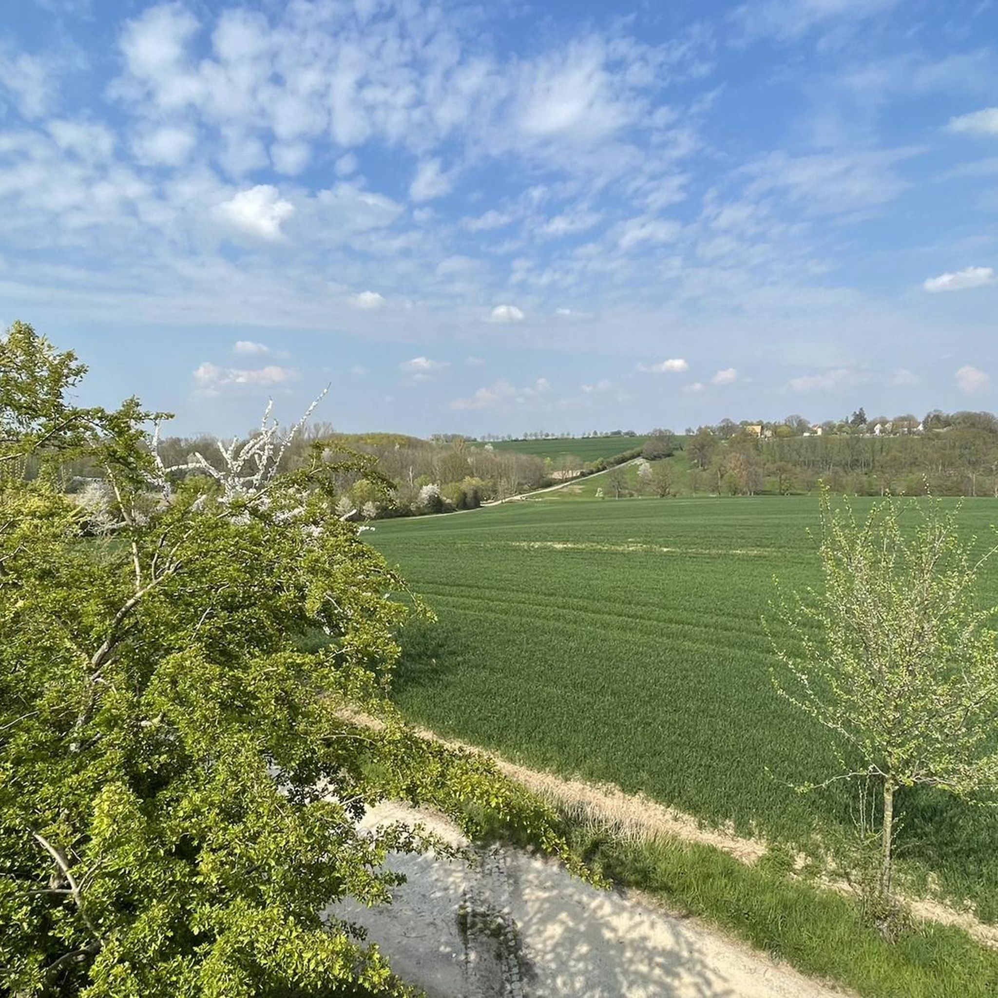
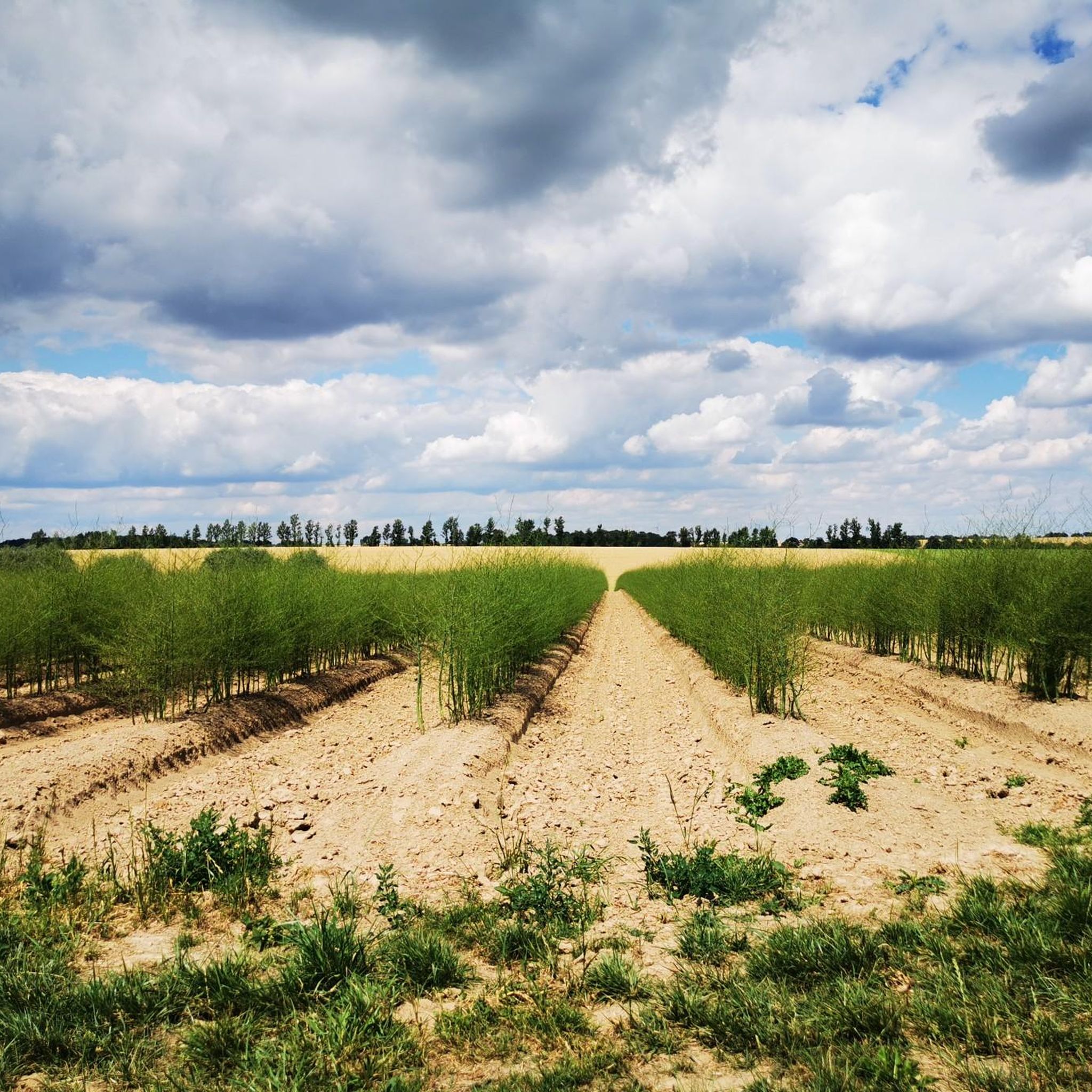
Hiking trails around Drogen traverse a landscape characterized by gentle hills, agricultural fields, and small water features like the Sprotte river. The region offers a network of paths through meadows and past local landmarks, providing accessible outdoor experiences. Elevation changes are generally modest, making many routes suitable for various fitness levels. The area features a mix of open countryside and small wooded sections.
Best hiking trails around Drogen
- The most popular hiking route is Zschernitzsch Church loop from Schmölln,…
Last updated: August 18, 2026
5.0
(1)
16
hikers
5.63km
01:31
70m
70m
Easy hike. Great for any fitness level. Easily-accessible paths. Suitable for all skill levels.
5.0
(1)
13
hikers
5.78km
01:34
70m
80m
Easy hike. Great for any fitness level. Easily-accessible paths. Suitable for all skill levels.

Sign up for free
4.7
(6)
9
hikers
Moderate hike. Good fitness required. Easily-accessible paths. Suitable for all skill levels.
3.0
(1)
7
hikers
Moderate hike. Good fitness required. Easily-accessible paths. Suitable for all skill levels.
4.0
(1)
11
hikers
5.47km
01:28
70m
70m
Easy hike. Great for any fitness level. Easily-accessible paths. Suitable for all skill levels.
Get access to more routes and recommendations from other explorers.
Sign up for free
Already have an account?
Our route recommendations are based on thousands of hikes, rides, and runs completed by other people on komoot.
Start today with a free account
Your next adventure awaits.
Login or Signup
Tips from the Community

Beautiful playground and the 2 suspension bridges are an added fun.
0
0

The observation tower is located about 1 km outside of Nödenitzsch. It is approximately 5 meters high and can be climbed via a very narrow spiral staircase. The path is well signposted and easily accessible. It offers magnificent views of the surrounding landscape.
1
0

Small snack bar at the Rothenmühle. Coffee, beer, sausages, and country music. What more could you want! Free-roaming goats and ducks included...
4
1

Great water playground
3
0
Handmade goods with a trustworthy cash register
1
0

A beautiful place to rest and pause.🥐🍓🥛Far away from car noise and exhaust fumes. 🌻🐝🌲
1
0

Along the trail, there are numerous hands-on activities that are especially exciting for children. These include pasture huts for hiding, swinging rope bridges for swinging, a water wheel for powering, and a mud pit for splashing around.
16
0

The nave was added in 1499. The church was rebuilt in 1803 to 1804 after a fire in the late Gothic predecessor building. After a bomb hit in 1945, the church was rebuilt from 1949 to 1950 and consecrated on December 26, 1950. Source: https://www.suptur-abg.de/der-kirchenkreis-altenburger-land/die-gemeinden-im-kirchenkreis-altenburger-land/evang-luth-kirchspiel-altenburg-rasephas-treben/evang-luth-kirchengemeinde-altenburg-zschernitzsch.html
1
0
Frequently Asked Questions
How many hiking trails are available around Drogen?
There are over 330 hiking routes available around Drogen, catering to various preferences and fitness levels. The majority are easy to moderate, with 183 easy and 147 moderate trails.
What kind of terrain can I expect on hikes around Drogen?
Hikes around Drogen feature a landscape of gentle hills, agricultural fields, and small water features like the Sprotte river. You'll find paths through meadows and small wooded sections, with generally modest elevation changes.
Are there easy hiking routes suitable for beginners in Drogen?
Yes, Drogen offers a good selection of easy routes perfect for beginners or those looking for a relaxed stroll. There are 183 easy trails, many of which are relatively flat and well-maintained. An example is the Zschernitzsch Church loop from Schmölln, which is 3.4 miles (5.6 km) long.
What is the typical length and duration of hikes in Drogen?
Hikes in Drogen vary, but many popular routes are between 3 to 6 miles (5 to 10 km) and can be completed in 1.5 to 3 hours. For instance, the Cherry Meadow at Pfefferberg – View of Schmölln loop from Schmölln is 3.6 miles (5.8 km) and takes about 1 hour 35 minutes.
Are there circular hiking routes around Drogen?
Yes, many of the trails around Drogen are designed as circular routes, allowing you to start and end at the same point. The The Three Larches – Nödenitsch Observation Tower loop from Drogen is a great example of a circular trail.
What interesting sights or landmarks can I discover along the trails in Drogen?
While hiking around Drogen, you can encounter local landmarks and natural features. The The Three Larches – Nödenitsch Observation Tower loop from Drogen leads to an observation tower. You might also find highlights like the Nöbdenitz Tea House by the Pond or the Brandrübel Reservoir nearby.
Are the hiking trails around Drogen suitable for families with children?
Given the gentle hills and numerous easy routes, many trails around Drogen are suitable for families with children. The modest elevation changes and well-defined paths make for enjoyable outings. Consider routes like the Zschernitzsch Church loop from Schmölln for a family-friendly experience.
Are dogs allowed on the hiking trails in Drogen?
Generally, dogs are welcome on hiking trails in rural areas like Drogen, especially on public paths through fields and forests. However, it's always advisable to keep them on a leash, especially near agricultural areas or livestock, and to clean up after them.
What do other hikers say about their experiences in Drogen?
The hiking routes in Drogen are highly rated by the komoot community, with an average score of 4.6 stars from over 1700 reviews. Hikers often praise the quiet countryside, accessible paths, and the pleasant mix of open fields and small wooded areas.
Is parking available at the trailheads in Drogen?
While specific parking information for every trailhead isn't available, in rural areas like Drogen, you can typically find parking options near village centers or designated trail starting points. It's recommended to check the route details on komoot for specific parking suggestions for your chosen trail.
Can I access hiking trails around Drogen using public transport?
Public transport access to specific trailheads in a rural region like Drogen might be limited. Some routes may start or pass near villages with bus stops or train stations. It's best to check local public transport schedules and connections to the starting points of your desired hikes.
Are there any viewpoints to enjoy panoramic scenery around Drogen?
Yes, some trails offer opportunities for scenic views. For example, the The Three Larches – Nödenitsch Observation Tower loop from Drogen leads to an observation tower, providing elevated perspectives of the surrounding landscape. Other routes, like the Cherry Meadow at Pfefferberg – View of Schmölln loop from Schmölln, offer pleasant views over nearby towns and meadows.
Most popular attractions around Drogen

Get inspired with the komoot mobile app


Explore more
Browse the best Hikes in other regions.
