The best walks and hikes around the Draround the
4.2
(203)
1,516
hikers
53
hikes
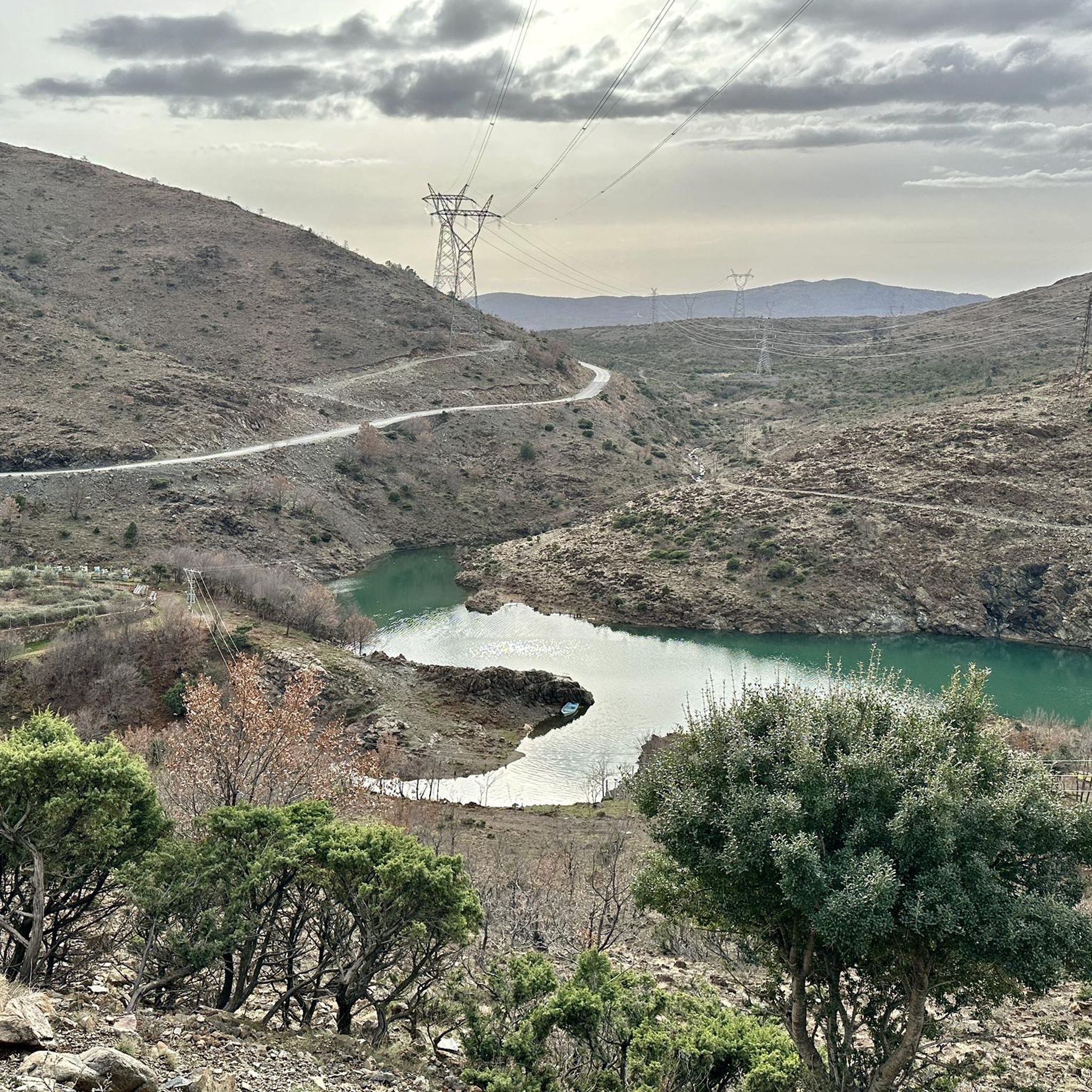
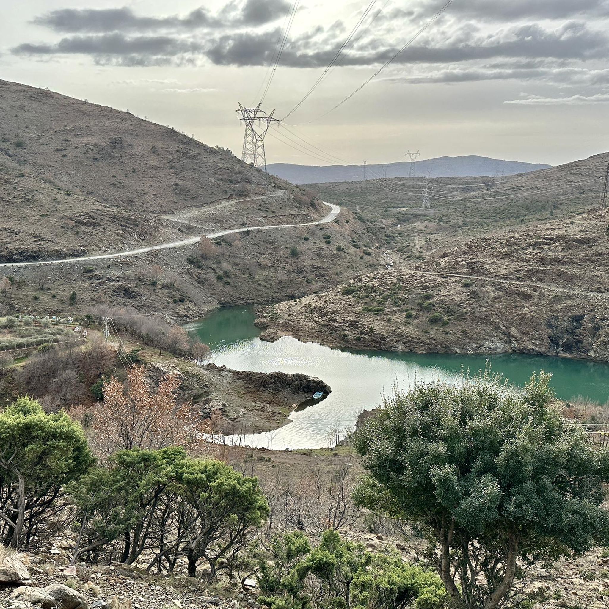
Hiking around the Drin River region offers diverse natural landscapes, rich biodiversity, and notable geological features. The area is characterized by stunning karst landscapes, rugged cliffs, and deep gorges, particularly in its upper reaches. Flowing through mountainous terrains like the Korabi and Albanian Alps, the Drin River basin provides varied and challenging environments for hikers. Numerous lakes and reservoirs, including Fierza, Koman, and Vau Dejës, enhance the scenic beauty and offer additional recreational possibilities.
Best hiking trails around the Draround…
Last updated: July 1, 2026
4.3
(8)
26
hikers
Moderate hike. Good fitness required. Mostly accessible paths. Sure-footedness required.
2.7
(3)
11
hikers
5.45km
02:07
340m
340m
Moderate hike. Good fitness required. Mostly accessible paths. Sure-footedness required.

Sign up for free
5.0
(2)
14
hikers
4.06km
01:58
320m
320m
Moderate hike. Good fitness required. Mostly accessible paths. Sure-footedness required.
9
hikers
6.62km
02:15
340m
340m
Moderate hike. Good fitness required. Easily-accessible paths. Suitable for all skill levels.
7
hikers
15.1km
04:52
670m
670m
Moderate hike. Good fitness required. Easily-accessible paths. Suitable for all skill levels.
5.0
(2)
17
hikers
Moderate hike. Good fitness required. Easily-accessible paths. Suitable for all skill levels.
4.0
(1)
15
hikers
Easy hike. Great for any fitness level. Easily-accessible paths. Suitable for all skill levels.
4.0
(1)
6
hikers
Moderate hike. Good fitness required. Mostly accessible paths. Sure-footedness required.
14
hikers
11.3km
02:52
20m
20m
Moderate hike. Good fitness required. Easily-accessible paths. Suitable for all skill levels.
5
hikers
28.8km
09:56
1,520m
1,520m
Hard hike. Very good fitness required. Easily-accessible paths. Suitable for all skill levels.
Get access to more routes and recommendations from other explorers.
Sign up for free
Already have an account?
Our route recommendations are based on thousands of hikes, rides, and runs completed by other people on komoot.
Start today with a free account
Your next adventure awaits.
Login or Signup
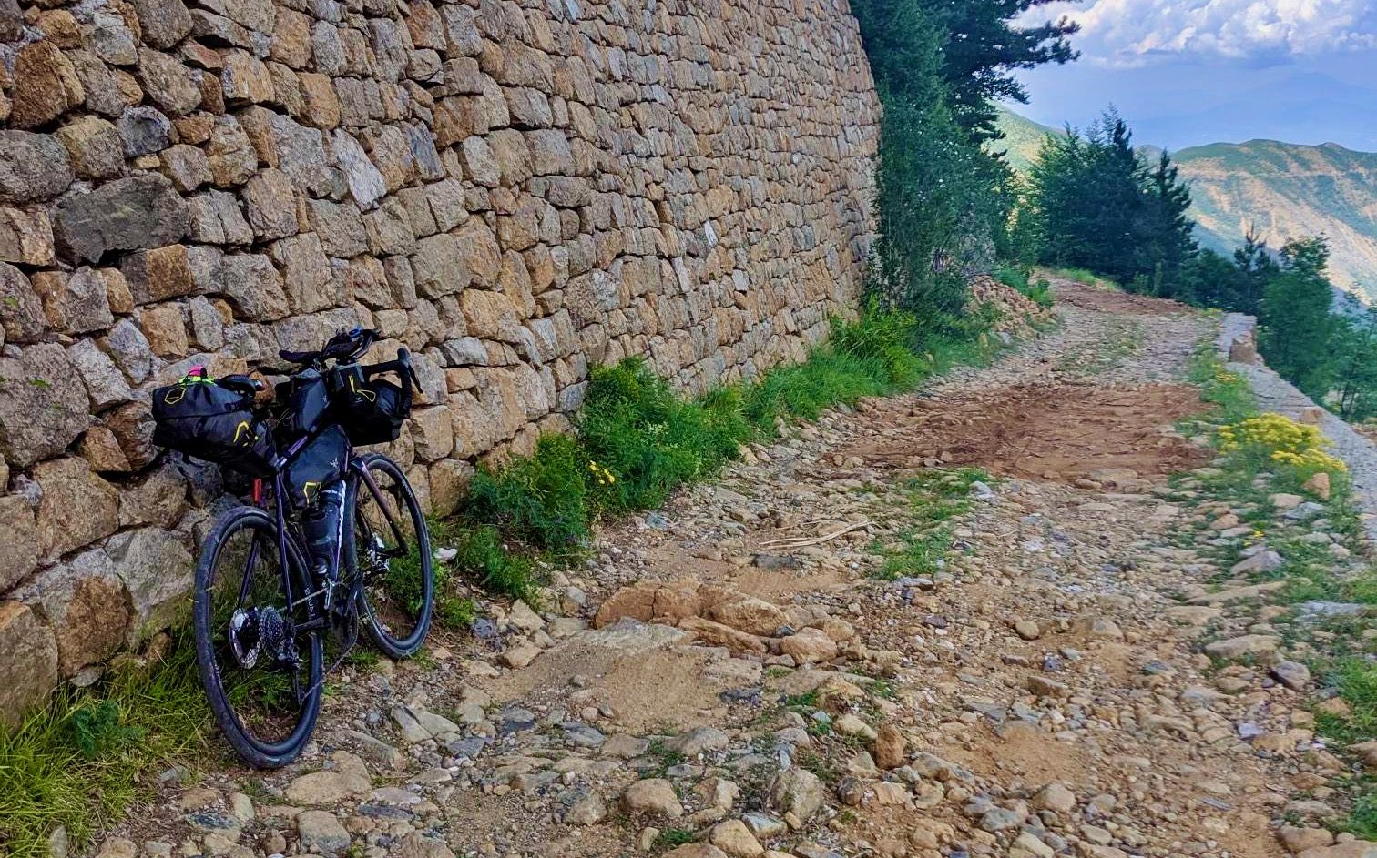
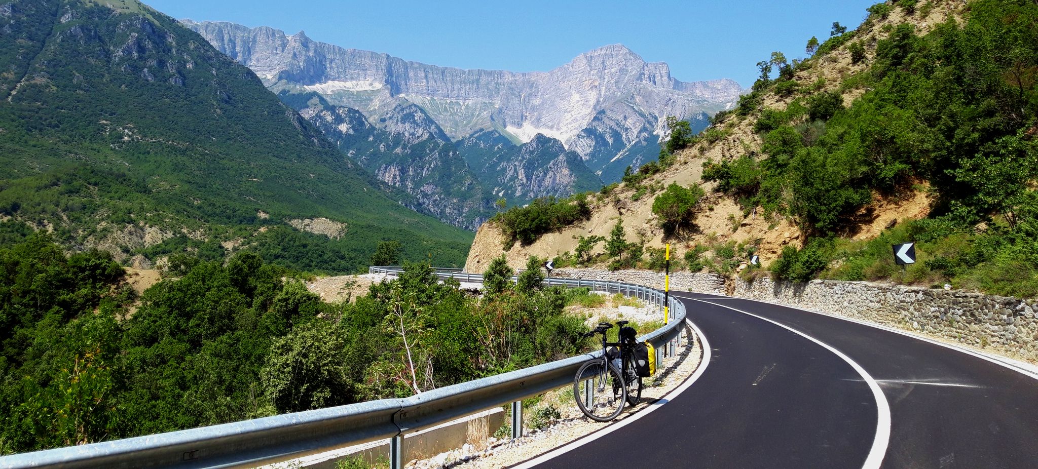
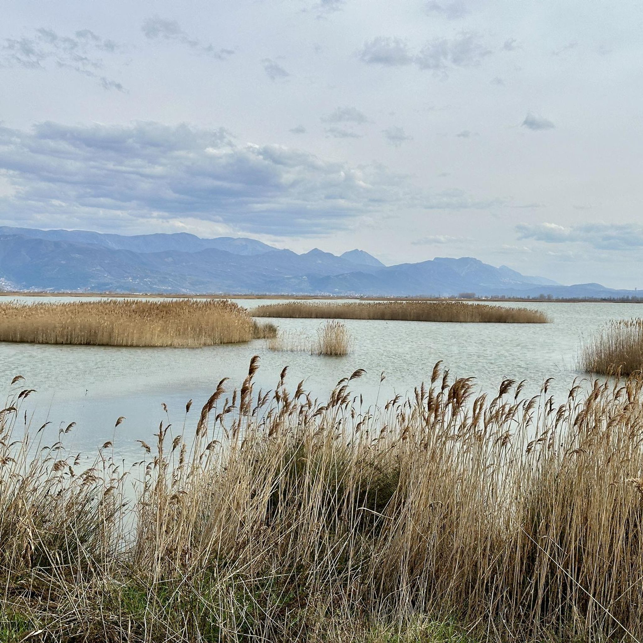


Tips from the Community

Bridges connect people, and that's a good thing!
0
0
The scene gathers here at least once a year. Germans are also involved...
0
0
The drainage system with the wooden beams is worth seeing.
0
0
There were no violations of the ban in November.
0
0
One of the very few apolitical and non-religious statues.
0
0

A beautiful hike with a fantastic view. The ascent is quite strenuous, especially in the Albanian summer heat, but doable. However, the way down is (as of August 2025) difficult to find, especially the last half. The marked route only partially corresponds to the conditions on site in this section. Our tip: use the sentry towers as a guide – it's easy to walk along them again. Otherwise, the steeper slate slopes are very slippery, but with a little caution, it's manageable. If you don't want to take any risks, it's better to simply retrace your steps (you won't miss any special views).
0
1
Frequently Asked Questions
How many hiking trails are available around the Drin River region?
The Drin River region offers a diverse network of over 50 hiking trails. These routes cater to various skill levels, with approximately 28 easy, 23 moderate, and a few more challenging options available for exploration.
Are there easy hiking trails suitable for beginners or casual walkers?
Yes, the Drin River region has numerous easy hiking trails. For example, the Koman Ferry – Entrance to L-1600 Tunnel loop from Koman Hydroelectric Power Station is an easy 4.2 km route that takes about 1 hour 18 minutes, offering a gentle introduction to the area's scenery.
What is the typical length and duration of hikes in the Drin River area?
Hikes in the Drin River area vary significantly. You can find shorter routes like the Kori i Grykës Water Fountain loop from Koman, which is 4.1 km and takes under 2 hours. Longer, more moderate trails, such as the Sulfur Cold Spring loop from Staravec, can extend to over 15 km and require around 4 hours 50 minutes to complete.
Are there challenging hiking trails for experienced hikers?
While most trails are easy to moderate, the mountainous terrain of the Drin River region, including parts of the Korabi and Albanian Alps, does offer more challenging sections. There are at least 2 difficult routes recorded, providing opportunities for experienced hikers seeking strenuous ascents and rugged landscapes.
Are there any circular hiking routes in the Drin River region?
Yes, many trails in the Drin River region are designed as circular routes, allowing you to start and end at the same point. Examples include the popular Kori i Grykës Water Fountain – Necropolis Ruins loop from Koman Hydroelectric Power Station and the Vevčani Springs – Old Mill in Vevchani loop from Municipality of Vevchani.
What natural attractions or landmarks can I see along the hiking trails?
The Drin River region is rich in natural beauty. Hikers can explore stunning karst landscapes, rugged cliffs, and deep gorges. Notable attractions include the Lake Koman, Globočica Lake, and the Source of the Black Drin. Many trails offer panoramic views over these picturesque lakes and riverine scenery.
Is the Drin River region suitable for family-friendly hikes?
Yes, the Drin River region offers several family-friendly options, particularly among its 28 easy trails. These routes often feature gentle gradients and shorter distances, making them enjoyable for families with children. Look for trails around the lakes or those exploring local villages for a pleasant family outing.
Are there opportunities for wild swimming near the hiking trails?
The Drin River and its associated lakes and reservoirs, such as Fierza, Koman, and Vau Dejës, offer potential spots for wild swimming. While not explicitly designated, the clear waters in certain areas, especially away from ferry routes, might provide refreshing opportunities. Always exercise caution and check local regulations before swimming in natural waters.
What do other hikers enjoy most about hiking in Drin?
The Drin River region is highly rated by the komoot community, with an average score of 4.3 stars from over 190 reviews. Hikers often praise the diverse natural landscapes, including the stunning karst formations and picturesque riverine scenery. The variety of trails, from easy walks to more challenging ascents, is also frequently highlighted.
When is the best time of year to hike around the Drin River?
The Drin River region, with its diverse landscapes, is generally best explored during spring and autumn when temperatures are milder and the natural scenery is vibrant. Summer can also be suitable, especially in higher altitudes, but lower areas might experience higher temperatures. Winter hiking is possible but may require specialized gear due to snow and colder conditions in mountainous areas.
Is public transport available to reach hiking trailheads?
While specific public transport details for every trailhead are not provided, the Drin River region is a significant waterway with some infrastructure. For instance, the Koman Hydroelectric Power Station, a starting point for several trails like the Viewpoint Above Lake Koman loop, is accessible. It's advisable to research local bus services or shared taxis for specific starting points, especially for more remote trails.
Are there any historical or cultural sites to explore while hiking?
Yes, some trails incorporate historical elements. For example, the Kori i Grykës Water Fountain – Necropolis Ruins loop near Koman explores historical sites. The region's long history means that you might encounter ancient ruins or traditional villages, adding a cultural dimension to your outdoor adventure.
Most popular routes around the Draround the
Most popular attractions around the Draround the

Get inspired with the komoot mobile app


