The best road cycling routes around Driedorf
4.6
(421)
4,128
riders
20
rides
Road cycling routes around Driedorf traverse the diverse landscapes of the Hessian Westerwald, featuring rolling hills, basalt plateaus, and green forests. The region's topography ranges from 400 to 642 meters above sea level, offering varied terrain with both climbs and descents. Cyclists can explore routes that pass by clear lakes like the Krombachtalsperre and through meadow-rich highlands. This area provides a well-developed cycling infrastructure suitable for road cyclists seeking engaging rides.
Best road cycling routes around Driedorf
- The most popular…
Last updated: October 11, 2026
21
riders
Hard road ride. Very good fitness required. Mostly well-paved surfaces and easy to ride.
17
riders
52.3km
02:28
660m
660m
Moderate road ride. Good fitness required. Mostly well-paved surfaces and easy to ride.

5.0
(1)
15
riders
33.2km
01:34
450m
450m
Moderate road ride. Good fitness required. Mostly well-paved surfaces and easy to ride.
8
riders
59.1km
02:50
780m
780m
Moderate road ride. Good fitness required. Some segments of this route may be unpaved and difficult to ride.
5.0
(1)
9
riders
66.7km
03:13
920m
920m
Hard road ride. Very good fitness required. Some segments of this route may be unpaved and difficult to ride.
Get access to more routes and recommendations from other explorers.
Already have an account?
Our route recommendations are based on thousands of hikes, rides, and runs completed by other people on komoot.
Start today with a free account
Your next adventure awaits.

Tips from the Community

Top-maintained Protestant church in the high Westerwald.
0
0
Unassuming spring directly by the country road, but nicely arranged.
0
0
Top small village in the highlands of the Westerwald at 600 m above sea level.
0
0


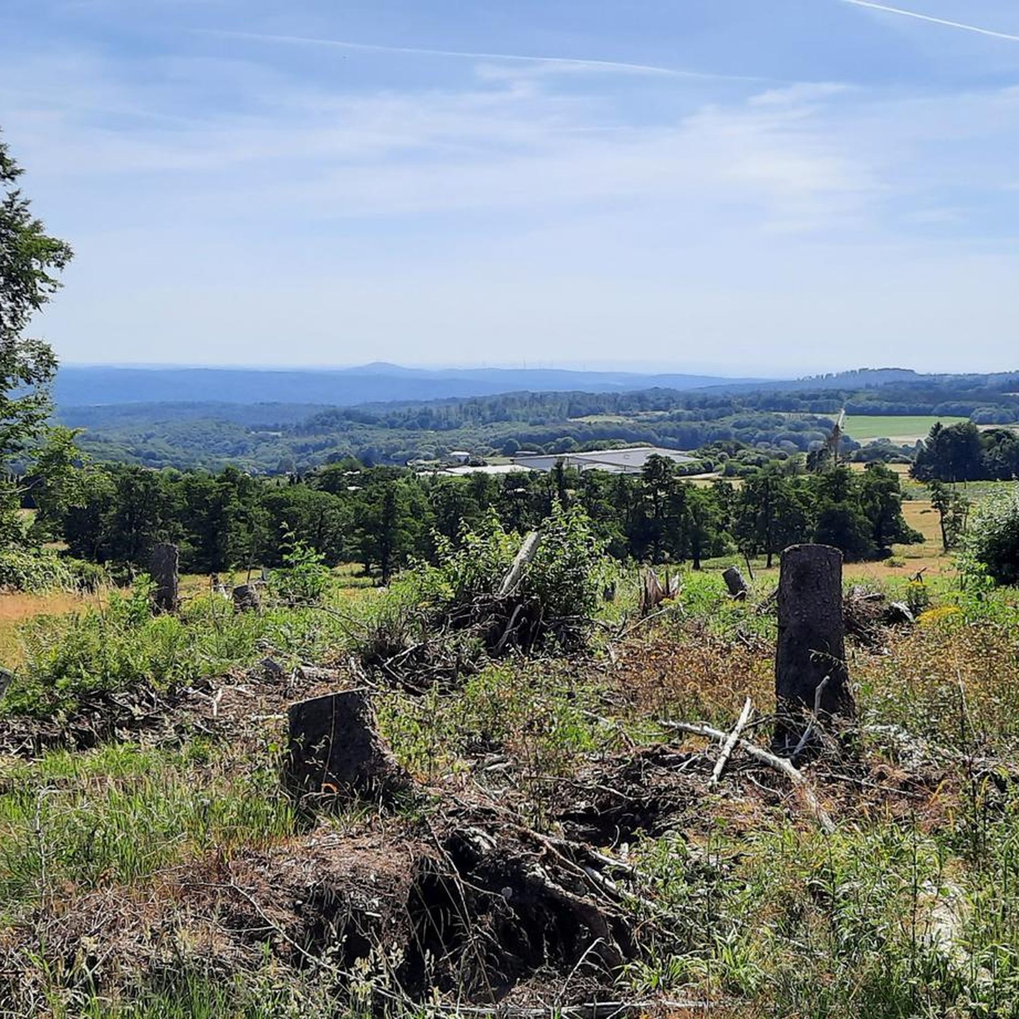
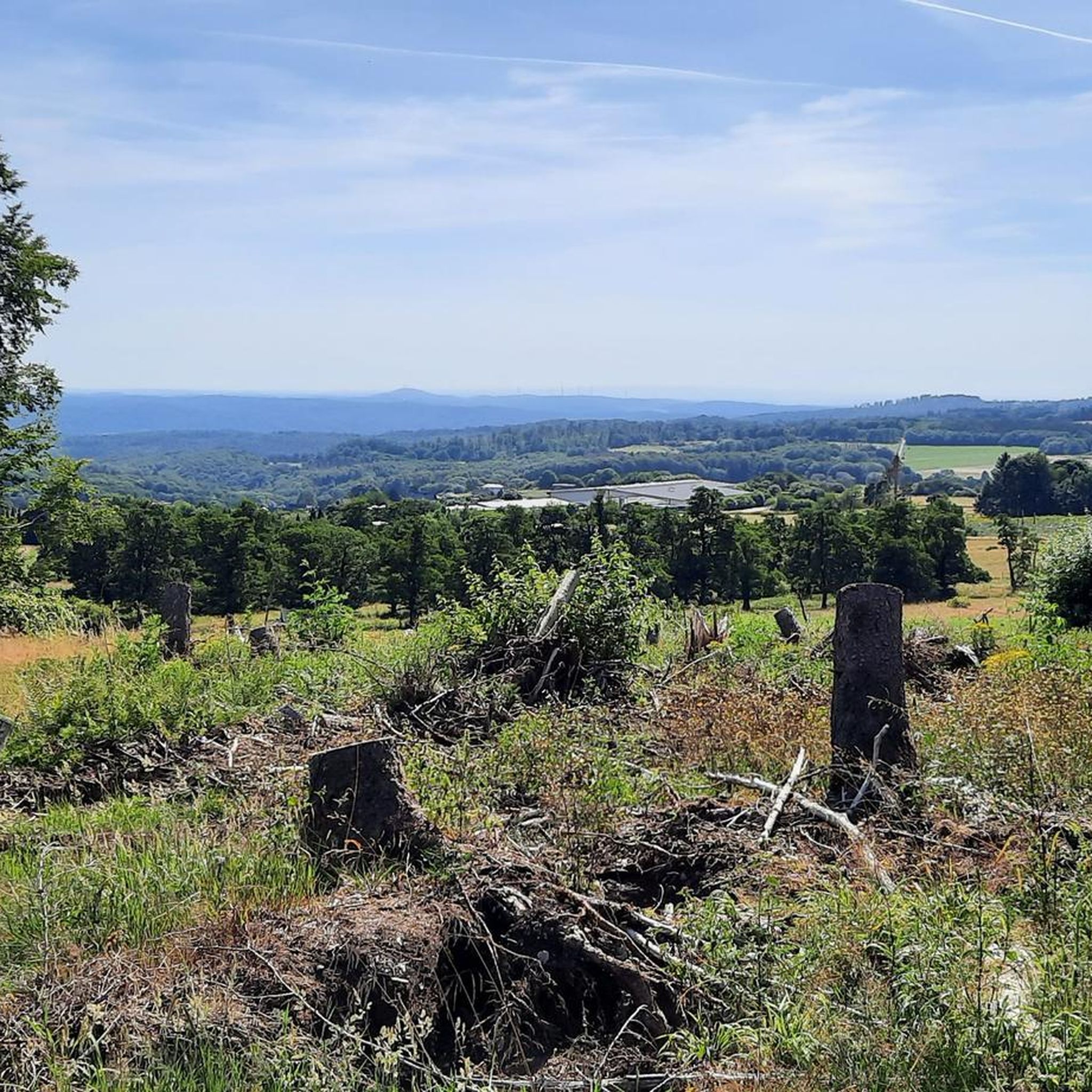
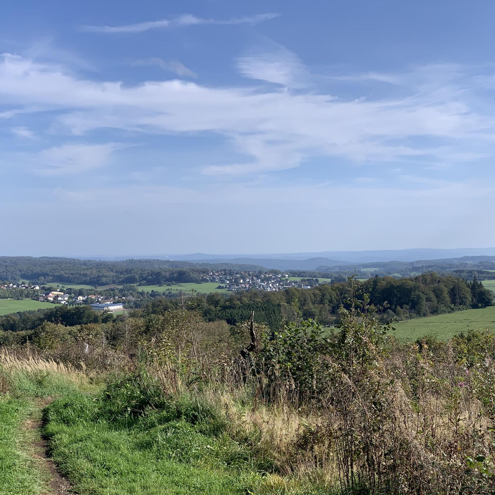
Great view and a hint of the upcoming "descent".
0
0

A mighty trunk with a diameter of over 5 meters supports this 350-year-old ash tree in the center of Weißenberg.
1
0
Beautiful church in Liebenscheid!
0
0

Salzburg is closer than you think😉
1
0
Frequently Asked Questions
What kind of terrain can I expect on road cycling routes around Driedorf?
Road cycling around Driedorf offers a varied landscape, characterized by rolling hills, basalt plateaus, and green forests. Elevations range from 400 to 642 meters above sea level, providing routes with both challenging climbs and rewarding descents. You'll find routes traversing shady forest areas, meadow-rich highlands, and scenic stretches along clear lakes.
Are there road cycling routes suitable for beginners in Driedorf?
Yes, Driedorf offers routes suitable for various skill levels. While some routes feature significant elevation changes, others provide a more balanced ride. For a smoother experience, consider sections of the Ulmtal Cycle Path, which is known for its well-paved surfaces, ideal for road cyclists. The Church in Allendorf – Ulmtalradweg Section loop from Münchhausen is a moderate option that includes parts of this path.
What are some notable natural features or landmarks I can see while road cycling in Driedorf?
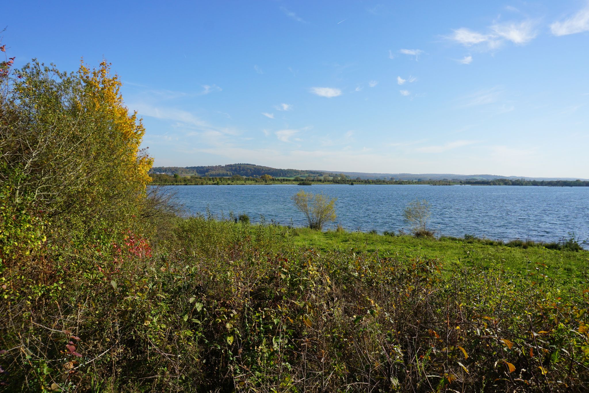
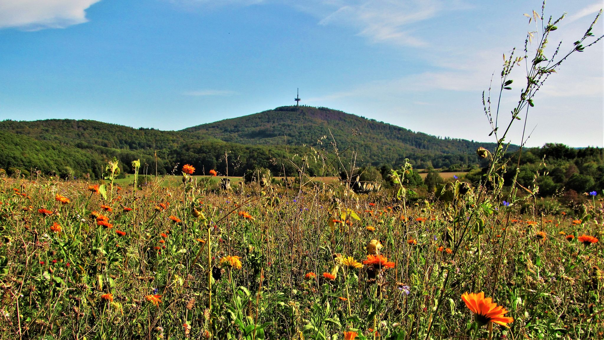
Many routes in Driedorf pass by beautiful natural features and points of interest. You can cycle alongside the blue-shimmering Krombachtalsperre (Krombach Reservoir) or enjoy views from basalt plateaus. The prominent 'Knoten' elevation is a namesake for several routes and offers wide vistas. For a cultural diversion, the 17th-century Oranienstein Castle and the local history museum in Driedorf are also nearby.
Are there any challenging road cycling routes for experienced riders?
Absolutely. Driedorf's topography, with its rolling hills and elevations up to 642 meters, provides excellent opportunities for advanced road cyclists. Routes like the Descent from Lipper Höhe – Bartenstein Rocky Outcrop loop from Bermershube bei Heisterberg are classified as difficult, featuring significant elevation changes over 53 kilometers. The 'Knoten' elevation also offers challenging ascents for those seeking demanding rides.
What is the best time of year for road cycling in Driedorf?
The region is particularly popular for cycling in April and May, indicating favorable conditions during these spring months. The pleasant weather and blooming landscapes make it an ideal time to explore the routes. However, the diverse scenery can be enjoyed throughout the warmer seasons.
Are there circular road cycling routes available in Driedorf?
Yes, many of the road cycling routes around Driedorf are designed as loops, allowing you to start and end in the same location. For example, the Nister Spring – Rabenscheid Church loop from Münchhausen is a moderate 52-kilometer circular path that takes you through forests and open areas.
What do other road cyclists enjoy most about road cycling in Driedorf?
The komoot community highly rates the road cycling experience in Driedorf, with an average score of 5.0 stars. Cyclists often praise the varied terrain, which includes both challenging climbs and scenic descents, as well as the well-developed cycling infrastructure. The picturesque landscapes, featuring green forests, clear lakes, and rolling hills, are frequently highlighted as a major draw.
Can I find routes that pass by lakes or reservoirs?
Yes, Driedorf is home to several refreshing bodies of water that are incorporated into cycling routes. The Krombachtalsperre (Krombach Reservoir) is a prominent example, adding a beautiful scenic element to rides. The Wiesensee is another lake that features in routes such as the Wiesensee – Wiesensee loop from Münchhausen.
Are there any historical sites or castles accessible by road bike?
While some routes might pass near historical areas, the region offers attractions like the 17th-century Oranienstein Castle and the local history museum in Driedorf for cultural diversions. For a longer ride that includes historical elements, the Mengerskirchen Castle – Herborn Old Town loop from Krombachtalsperre takes you past significant landmarks.
How long are the road cycling routes in Driedorf typically?
The road cycling routes around Driedorf vary in length to suit different preferences. You can find routes ranging from moderate 33-kilometer loops, like the Church in Allendorf – Ulmtalradweg Section loop from Münchhausen, to more extensive rides over 60 kilometers, such as the Mengerskirchen Castle – Herborn Old Town loop from Krombachtalsperre.
Are there any particularly well-paved sections or dedicated cycle paths for road bikes?
Yes, the region includes sections of dedicated cycle paths that are ideal for road cycling. The Ulmtal Cycle Path is known for its smoother surfaces, and parts of the approximately 95-kilometer Geopark Rail Route, built on former railway lines, also offer potentially smooth, paved surfaces. One community tip highlights a luxurious, perfectly paved cycle path over 10 km on a former railway line, featuring continuous road markings and bridges, indicating excellent conditions for road cyclists.
Most popular routes around Driedorf
Most popular attractions around Driedorf

Get inspired with the komoot mobile app


Explore more
Browse the best Road cycling routes in other regions.
